Aqvae Svlis
Heritage Site in Somerset
England
Aqvae Svlis
Aqvae Svlis, Somerset, is a notable heritage site located in the southwestern region of England. This ancient Roman bath complex holds great historical and archaeological significance, dating back to the 1st century AD. Situated near the town of Bath, Aqvae Svlis showcases the engineering and architectural brilliance of the Roman Empire.
The site consists of several well-preserved structures, including the Great Bath, the Temple Courtyard, and the Sacred Spring. The Great Bath, the centerpiece of Aqvae Svlis, is an enormous rectangular pool lined with lead and surrounded by a colonnade. It was once used for communal bathing and relaxation, showcasing the Roman culture of public bathing.
The Temple Courtyard, adjacent to the Great Bath, was an area dedicated to religious activities. It features a temple and various altars, where offerings were made to the Roman goddess Sulis Minerva. The Sacred Spring, another prominent feature, is a natural hot spring that supplies the Great Bath with warm, mineral-rich water.
Aqvae Svlis also houses a museum that exhibits a wide range of artifacts found during excavations, providing visitors with a deeper understanding of Roman life. These artifacts include jewelry, coins, and other personal items, shedding light on the daily lives of the ancient inhabitants.
Recognized as a UNESCO World Heritage Site, Aqvae Svlis attracts numerous tourists each year, offering an immersive experience into the Roman era. Its well-preserved structures and archaeological significance make it a remarkable destination for history enthusiasts and those interested in ancient civilizations.
If you have any feedback on the listing, please let us know in the comments section below.
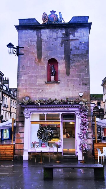
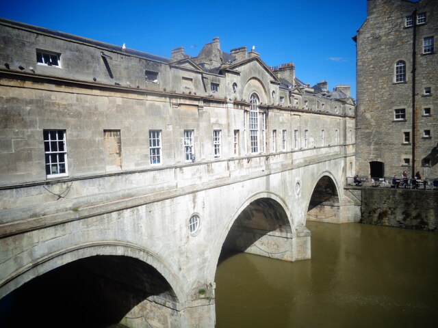
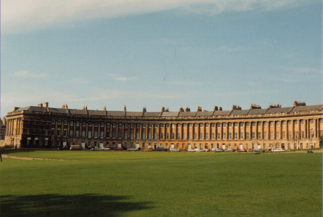
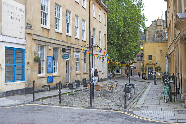
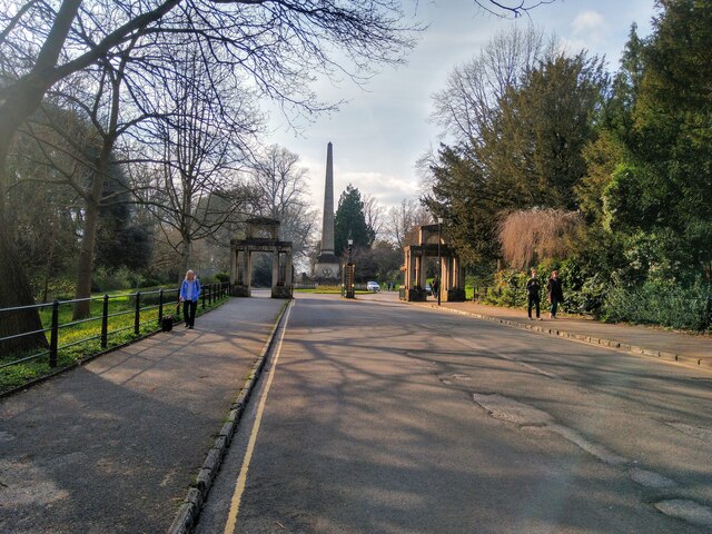
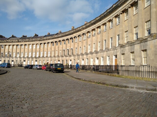
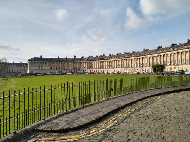
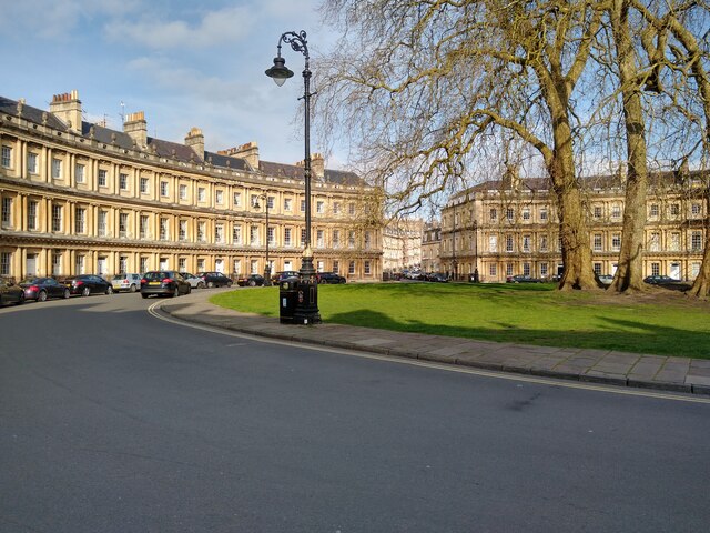
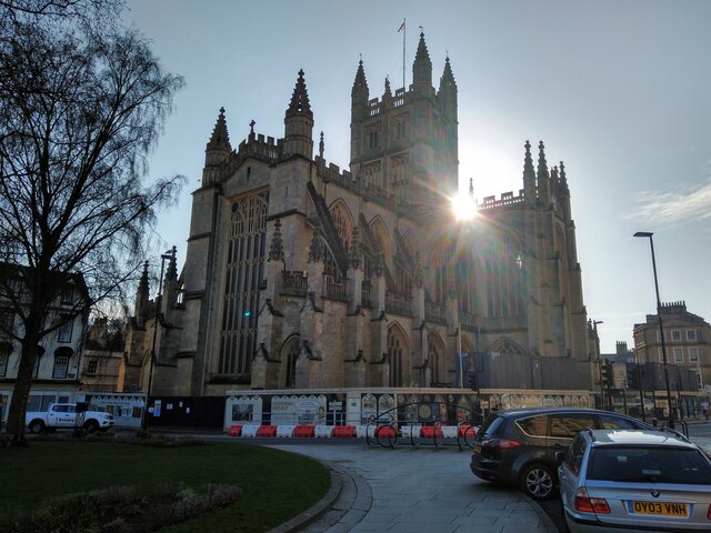
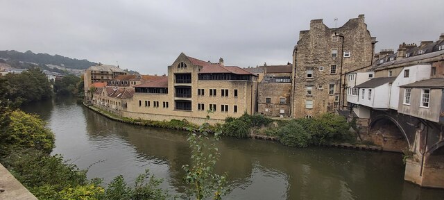
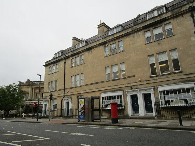
Aqvae Svlis Images
Images are sourced within 2km of 51.378/-2.367 or Grid Reference ST7464. Thanks to Geograph Open Source API. All images are credited.
Aqvae Svlis is located at Grid Ref: ST7464 (Lat: 51.378, Lng: -2.367)
Unitary Authority: Bath and North East Somerset
Police Authority: Avon and Somerset
What 3 Words
///arrow.admit.order. Near Bath, Somerset
Nearby Locations
Related Wikis
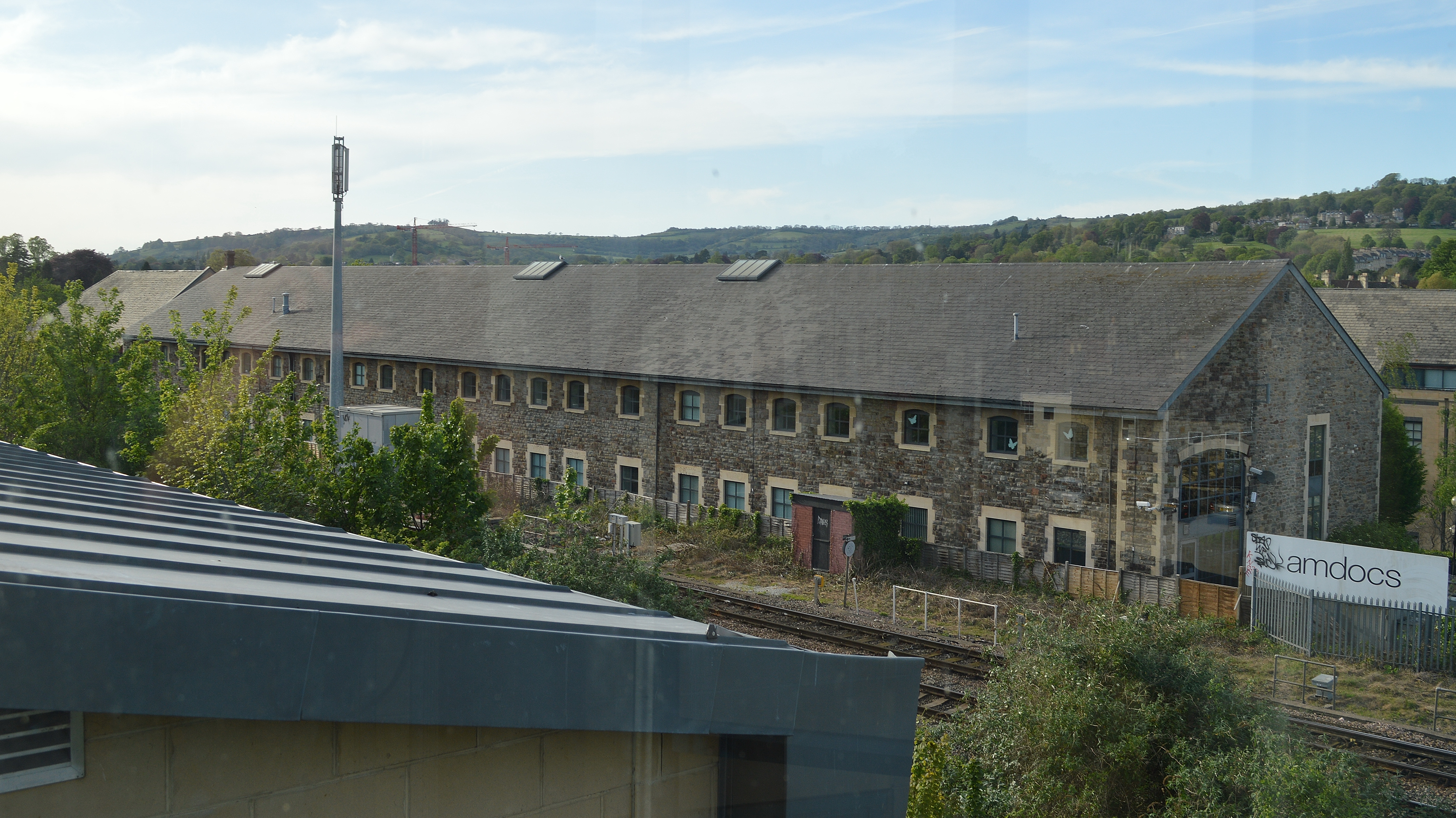
Westmoreland Road goods yard
Westmoreland Road goods yard was the main Great Western Railway goods station for the city of Bath in England, situated on the main line between the passenger...

Bath Postal Museum
The Bath Postal Museum was a postal museum in Bath, Somerset, England. The museum was founded in 1979 by Audrey and Harold Swindells in the basement of...

Westmoreland, Bath
Westmoreland is an area and electoral ward in the south-west of Bath, England. Although still shown on some Ordnance Survey mapping, Westmoreland is rarely...

Midland Bridge
The Midland Bridge is a road bridge over the River Avon in Bath, Somerset, England, now carrying the B3118 road. It was originally built in 1870 by the...

Hayesfield Girls' School
Hayesfield Girls' School is an all-girls secondary school with a co-educational sixth form located in Bath, England. In August 2011, the school became...

Bath College
Bath College is a further education college in the centre of Bath, Somerset and in Westfield, Somerset, England. It was formed in April 2015 by the merger...

Bath Green Park railway station
Green Park railway station is a former railway station in Bath, Somerset, England. For most of its life, it was known as Bath Queen Square. == Architecture... ==

Mission Theatre
The Mission Theatre is a theatre in Bath, England. In 2004, the Next Stage Theatre Company took possession of a grade II listed building originally built...
Nearby Amenities
Located within 500m of 51.378,-2.367Have you been to Aqvae Svlis ?
Leave your review of Aqvae Svlis below (or comments, questions and feedback).