Westmoreland
Settlement in Somerset
England
Westmoreland
Westmoreland, Somerset is a small town located in Somerset County, Pennsylvania, United States. Situated in the Laurel Highlands region, it is nestled in a picturesque valley surrounded by rolling hills and beautiful natural landscapes. Westmoreland is approximately 50 miles southeast of Pittsburgh and has a population of around 1,600 residents.
The town has a rich history that dates back to the early 1800s when it was primarily a farming community. Over the years, Westmoreland has evolved into a vibrant and close-knit community, with a strong sense of pride in its heritage. The town's historic downtown area is home to a variety of charming shops, locally owned restaurants, and other small businesses.
Westmoreland is also known for its recreational opportunities. The nearby Laurel Hill State Park offers outdoor enthusiasts a range of activities such as hiking, fishing, boating, and camping. The area's natural beauty attracts visitors from all over, particularly during the autumn months when the foliage turns vibrant shades of red, orange, and gold.
Education is highly valued in Westmoreland, with the town being served by the Westmoreland Area School District. The district provides quality education to students from pre-kindergarten through high school.
Although small in size, Westmoreland, Somerset offers a peaceful and welcoming atmosphere, making it an ideal place to live for those seeking a slower pace of life. The town's strong community spirit, beautiful surroundings, and convenient location make it a hidden gem within the scenic landscapes of Somerset County.
If you have any feedback on the listing, please let us know in the comments section below.
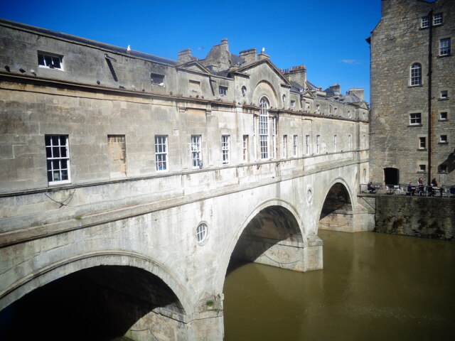
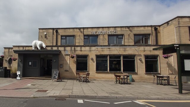
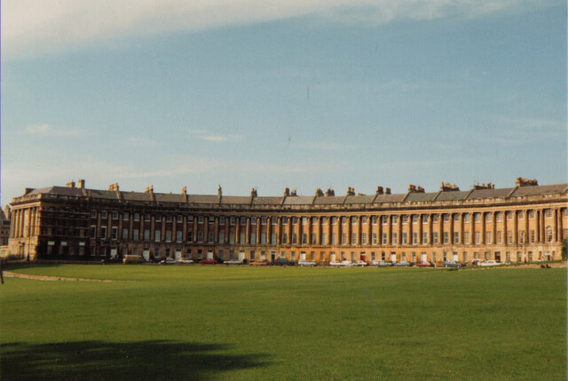
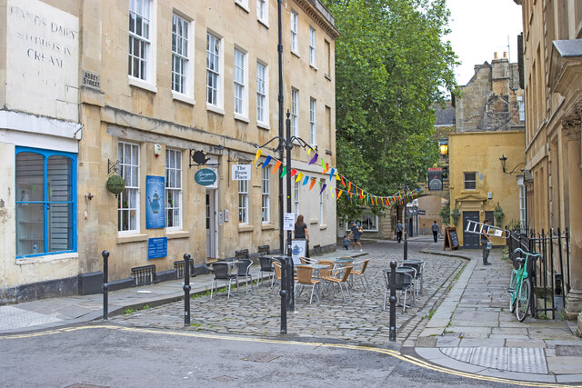
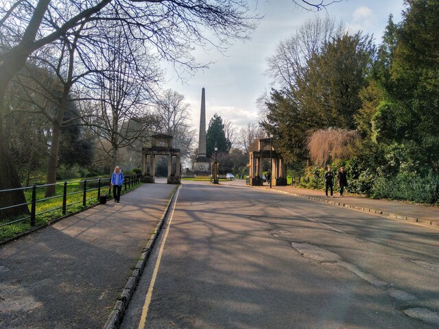
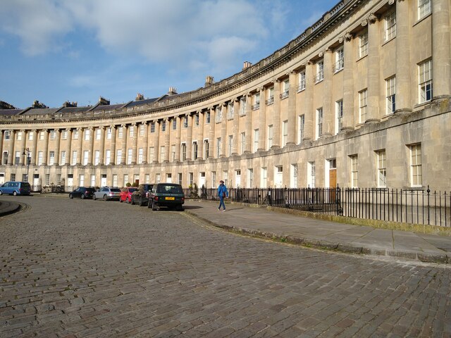
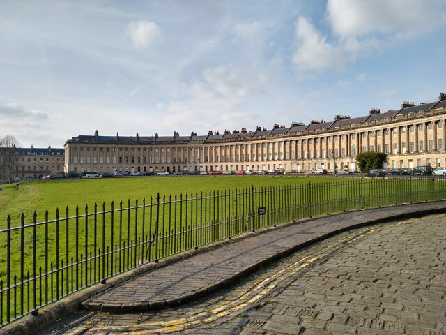
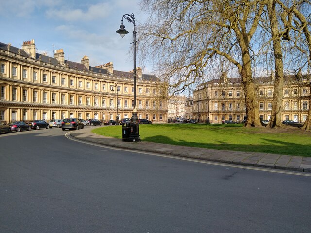
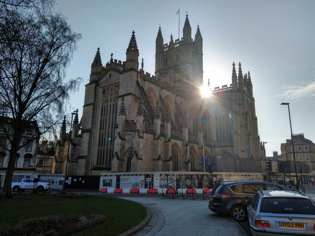
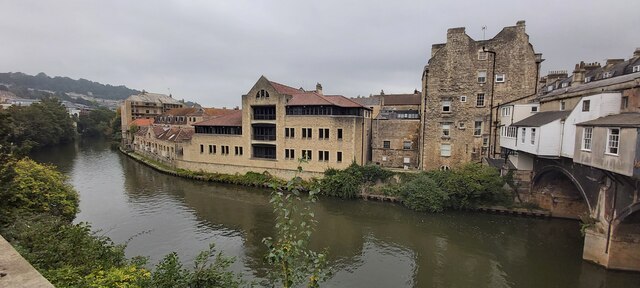
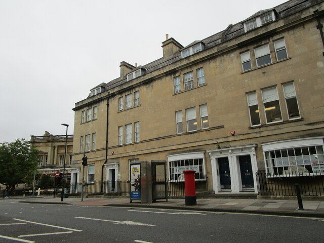
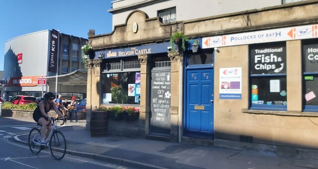
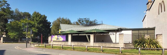
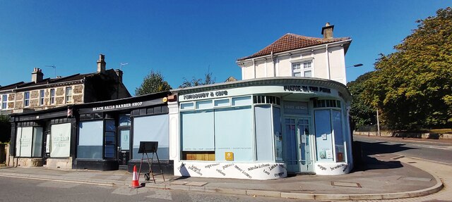
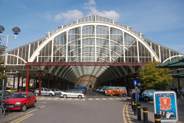
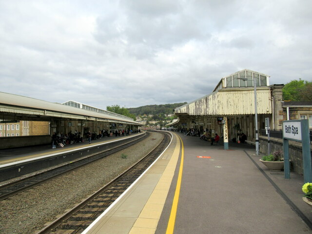
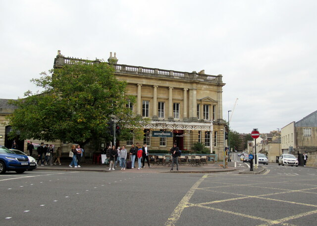
Westmoreland Images
Images are sourced within 2km of 51.379826/-2.370886 or Grid Reference ST7464. Thanks to Geograph Open Source API. All images are credited.

Westmoreland is located at Grid Ref: ST7464 (Lat: 51.379826, Lng: -2.370886)
Unitary Authority: Bath and North East Somerset
Police Authority: Avon and Somerset
What 3 Words
///remark.stiff.wedge. Near Bath, Somerset
Nearby Locations
Related Wikis

Westmoreland, Bath
Westmoreland is an area and electoral ward in the south-west of Bath, England. Although still shown on some Ordnance Survey mapping, Westmoreland is rarely...

Midland Bridge
The Midland Bridge is a road bridge over the River Avon in Bath, Somerset, England, now carrying the B3118 road. It was originally built in 1870 by the...

Bath Postal Museum
The Bath Postal Museum was a postal museum in Bath, Somerset, England. The museum was founded in 1979 by Audrey and Harold Swindells in the basement of...
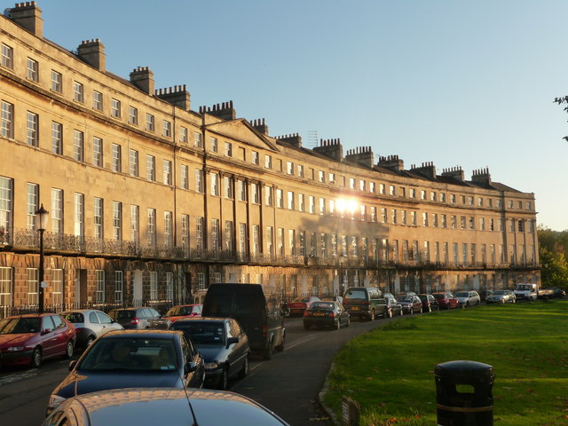
Norfolk Crescent, Bath
Norfolk Crescent in Bath, Somerset, England was built between c.1793 and c.1822 and has been designated as a Grade II* listed building. The original design...
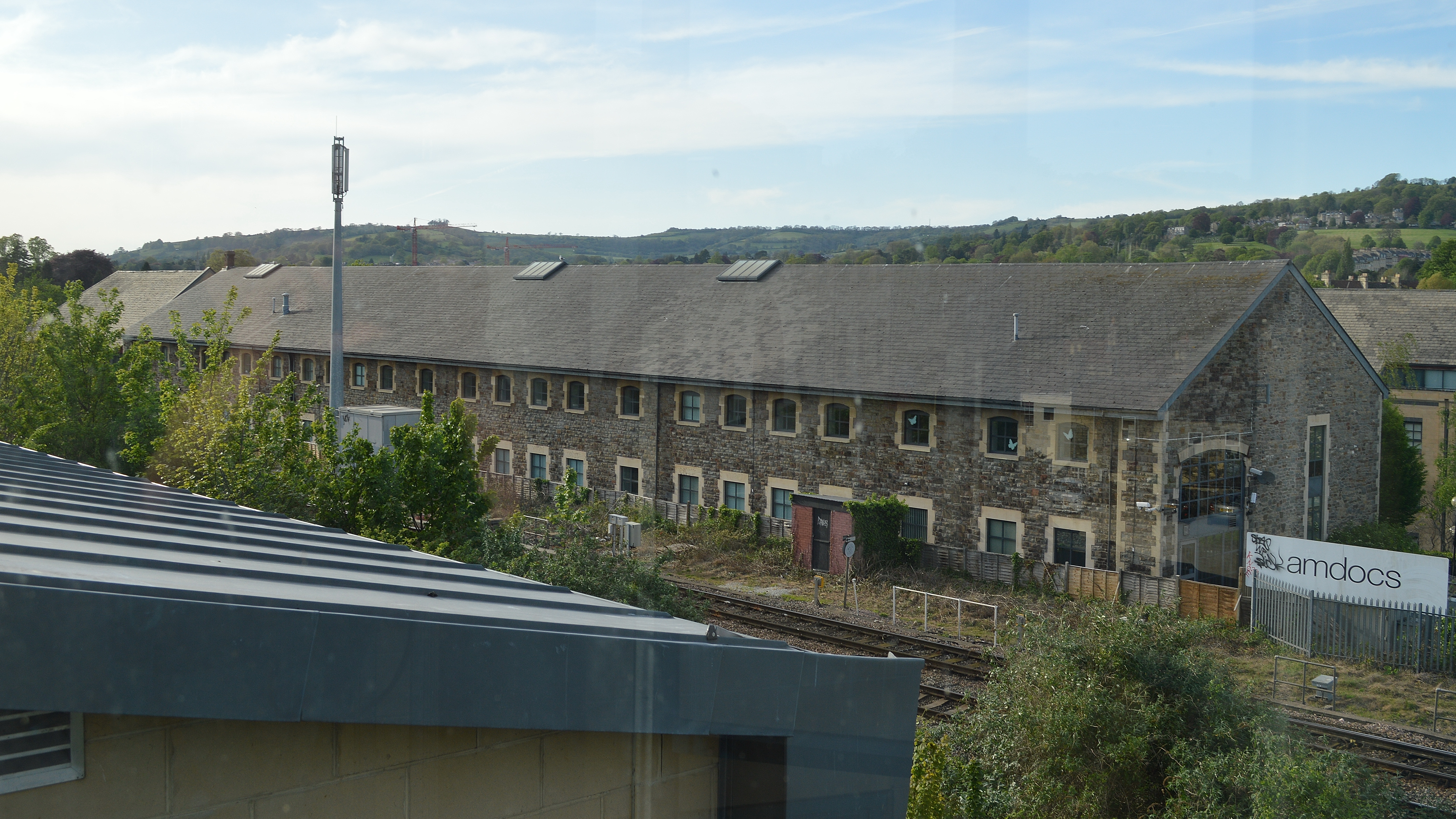
Westmoreland Road goods yard
Westmoreland Road goods yard was the main Great Western Railway goods station for the city of Bath in England, situated on the main line between the passenger...

Bath Green Park railway station
Green Park railway station is a former railway station in Bath, Somerset, England. For most of its life, it was known as Bath Queen Square. == Architecture... ==

Hayesfield Girls' School
Hayesfield Girls' School is an all-girls secondary school with a co-educational sixth form located in Bath, England. In August 2011, the school became...

Nelson Place West
Nelson Place West is a Grade II listed Georgian terrace of houses in Bath, Somerset, England. It was built as "Nelson Place" in the early 19th century...
Nearby Amenities
Located within 500m of 51.379826,-2.370886Have you been to Westmoreland?
Leave your review of Westmoreland below (or comments, questions and feedback).