Westmoor

Settlement in Herefordshire

England

Westmoor

Field beside Bowmore Wood The hedge at the far end of this field follows the course of Offa's Dyke.
Field beside Bowmore Wood Credit: Philip Halling

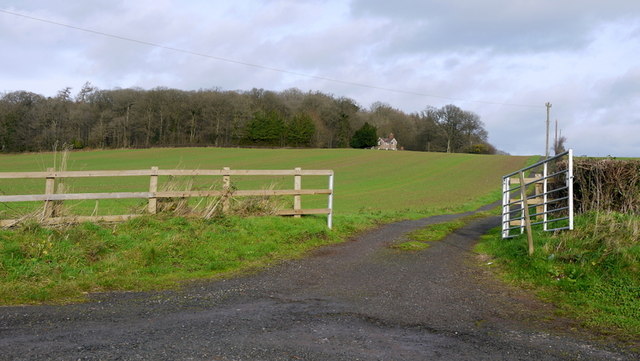
Westmoor is a picturesque village nestled in the idyllic county of Herefordshire, located in the west of England. With a population of around 500 residents, this quaint village offers a serene and peaceful atmosphere, making it an ideal retreat for those seeking a tranquil countryside lifestyle.

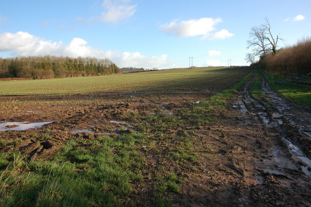
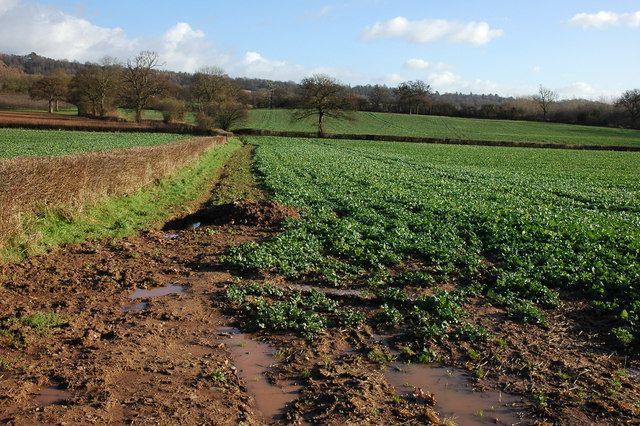
The village is characterized by its stunning natural surroundings, boasting breathtaking rolling hills and meadows, as well as an abundance of lush greenery. Westmoor is also home to several small streams and rivers, adding to its scenic beauty and providing opportunities for outdoor activities such as fishing and hiking.

Despite its small size, Westmoor offers a range of amenities for its residents and visitors. The village features a charming local pub, The Westmoor Arms, which is renowned for its warm hospitality and traditional cuisine. Additionally, there is a local convenience store and a post office, ensuring that daily necessities are easily accessible to the community.

The area surrounding Westmoor is renowned for its agricultural heritage, with many residents engaged in farming and livestock rearing. As a result, the village hosts a popular farmers' market every month, where locals and visitors can purchase fresh produce and artisanal goods.

Westmoor also boasts a strong sense of community, with various events and festivals held throughout the year. These include the annual Westmoor Summer Fair and the Christmas Market, which bring together residents and visitors alike in a festive and welcoming atmosphere.

Overall, Westmoor offers a charming and tranquil escape from the hustle and bustle of city life, with its natural beauty, community spirit, and range of amenities making it an attractive place to live or visit.

If you have any feedback on the listing, please let us know in the comments section below.

Westmoor Images

Images are sourced within 2km of 52.10675/-2.861252 or Grid Reference SO4145. Thanks to Geograph Open Source API. All images are credited.

Field beside Bowmore Wood The hedge at the far end of this field follows the course of Offa's Dyke.
Field beside Bowmore Wood
The hedge at the far end of this field follows the course of Offa's Dyke.
Farmland to the south of Upperton Farm
The A480 at Upperton In the distance is Yazor church and on the right Yazor Court.
The A480 at Upperton
In the distance is Yazor church and on the right Yazor Court.
Bridleway passing Garnons Hill Not a great picture due to the sun having already set behind Garnons Hill on this January afternoon.  The bridleway pictured here passes to the north-eastern side of Garnons Hill and emerges onto the B4230 at Mansell Gamage.  This bridleway is the route of the Three River Ride, a route for horseriders.
Bridleway passing Garnons Hill
Not a great picture due to the sun having already set behind Garnons Hill on this January afternoon. The bridleway pictured here passes to the north-eastern side of Garnons Hill and emerges onto the B4230 at Mansell Gamage. This bridleway is the route of the Three River Ride, a route for horseriders.
Kitchen Garden, Foxley 'The walled kitchen garden (listed grade II; now Westmoor Gardens), probably early C19, lies outside the Yarsop Valley on the A44 Hereford to Kington road, c 750m south-west of the site of Foxley House. A two-storey, hip-roofed gardener's house stands at the centre of the north wall' - so says the National Heritage List.
Kitchen Garden, Foxley
'The walled kitchen garden (listed grade II; now Westmoor Gardens), probably early C19, lies outside the Yarsop Valley on the A44 Hereford to Kington road, c 750m south-west of the site of Foxley House. A two-storey, hip-roofed gardener's house stands at the centre of the north wall' - so says the National Heritage List.
Yazor Lodge Superlative Victorian House, built in 1872 to the designs of Chick of Hereford. Immediately opposite the church of 1843.
Yazor Lodge
Superlative Victorian House, built in 1872 to the designs of Chick of Hereford. Immediately opposite the church of 1843.
St Lawrence, Bishopstone The parish cat stalks the church path, having seen off the last visitor of the day to this highly unusual building.
St Lawrence, Bishopstone
The parish cat stalks the church path, having seen off the last visitor of the day to this highly unusual building.
St Lawrence, Bishopstone The East end, showing the typical 13th century 'Herefordshire' window.
St Lawrence, Bishopstone
The East end, showing the typical 13th century 'Herefordshire' window.
St Lawrence, Bishopstone At my last visit the West end was taped off as the belfry was deemed unsafe. It has since been repaired by someone who clearly knew what they were doing.
St Lawrence, Bishopstone
At my last visit the West end was taped off as the belfry was deemed unsafe. It has since been repaired by someone who clearly knew what they were doing.
Bishopstone Court The 'ruinous gateway of c.1600' noted by Pevsner. A notice about unfriendly dogs prevented a closer look.
Bishopstone Court
The 'ruinous gateway of c.1600' noted by Pevsner. A notice about unfriendly dogs prevented a closer look.
Garnons Hill Climbed from Mansell Gamage via bridleway then SSE trespass up track passed old sign "Shooting in Progress". Quick bag of raised ground to east of summit track which is overgrown from north but improves.
Name: Garnons Hill
Hill number: 5373
Height: 233m / 764ft
Area: 38B: West Gloucestershire, Hereford & Worcester
Class: Hu
Grid ref: SO400443 (est)
Drop: 127m
Col: 106m  SO400462
Garnons Hill
Climbed from Mansell Gamage via bridleway then SSE trespass up track passed old sign "Shooting in Progress". Quick bag of raised ground to east of summit track which is overgrown from north but improves. Name: Garnons Hill Hill number: 5373 Height: 233m / 764ft Area: 38B: West Gloucestershire, Hereford & Worcester Class: Hu Grid ref: SO400443 (est) Drop: 127m Col: 106m SO400462
St Mary, Yazor
St Mary, Yazor
St Mary, Yazor - Chancel
St Mary, Yazor - Pulpit
St Mary, Yazor - Lectern
St Mary, Yazor - Font
Gate and track to Nashwood Cottage Photo taken three-quarters of a decade after <a href="https://www.geograph.org.uk/photo/373618">SO4145 : Drive to Nashwood Cottage</a> of the same subject by the same photographer; and no Geograph visitors to the square in-between.
The fence and box to the left of the track has now gone.
Gate and track to Nashwood Cottage
Photo taken three-quarters of a decade after SO4145 : Drive to Nashwood Cottage of the same subject by the same photographer; and no Geograph visitors to the square in-between. The fence and box to the left of the track has now gone.
Show me another place!

Westmoor is located at Grid Ref: SO4145 (Lat: 52.10675, Lng: -2.861252)

Unitary Authority: County of Herefordshire

Police Authority: West Merica

What 3 Words

///parked.expiring.informer. Near Yazor, Herefordshire

Nearby Locations

Westmoor

Related Wikis

Westmoor Flag railway station

Westmoor Flag railway station was a private station to the west of Mansel Lacy, Herefordshire, England. The station was opened in 1863 and may have closed...

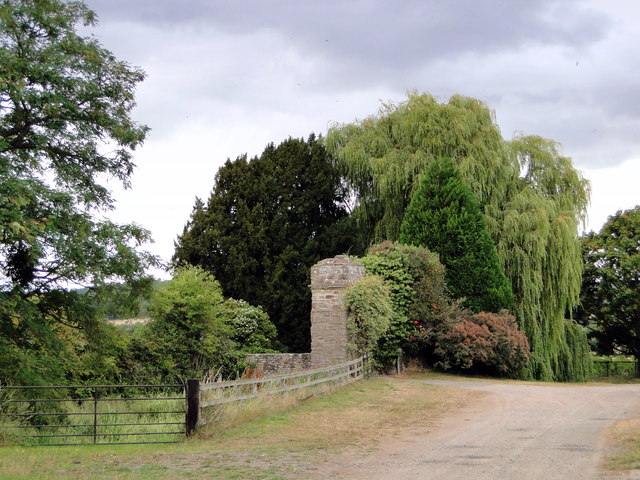
Foxley, Herefordshire

Foxley is a rural estate, and the former Foxley Manor country seat, in Herefordshire, England. The Manor is associated with the judicial, political, artistic...

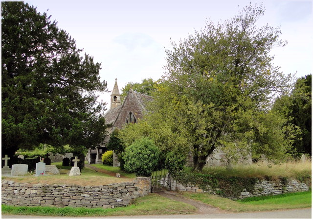
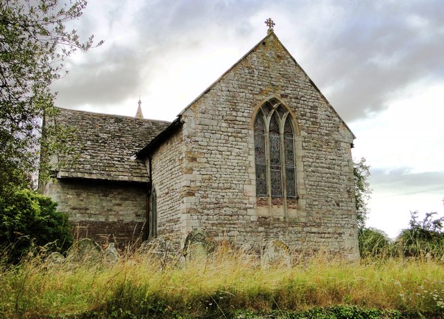
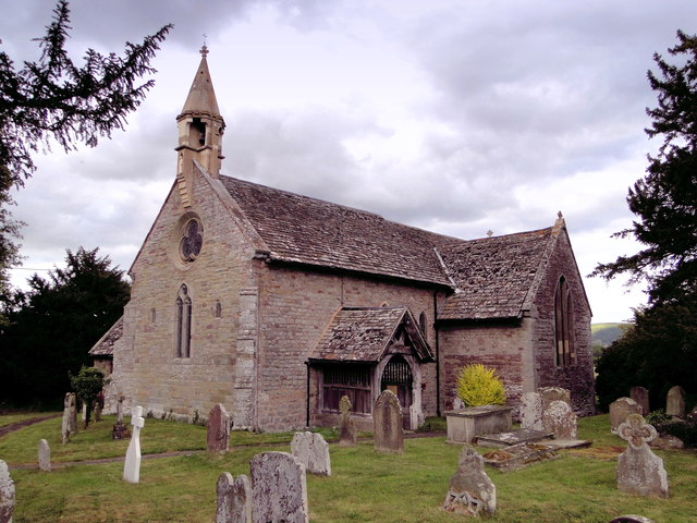
St Mary the Virgin's Church, Yazor

St Mary the Virgin's Church is a redundant Anglican church in the village of Yazor, Herefordshire, England. It is recorded in the National Heritage List...

Yazor

Yazor is a small village and civil parish in Herefordshire, England. The village is on the A480 road, approximately 8 miles (13 km) north-west of the city...

Nearby Amenities

Located within 500m of 52.10675,-2.861252
Westmoor Flag
Historic Railway: station
Railway: site
Wikidata: Q29379230
Wikipedia: en:Westmoor Flag railway station
Lat/Long: 52.1033306/-2.8620304
Westmoor
Place: hamlet
Lat/Long: 52.1061497/-2.8627141
The data included in this document is from www.openstreetmap.org. The data is made available under ODbL.

Have you been to Westmoor?

Leave your review of Westmoor below (or comments, questions and feedback).