Antonine Wall
Heritage Site in Stirlingshire
Scotland
Antonine Wall

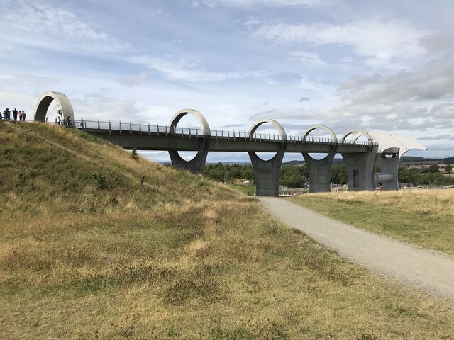
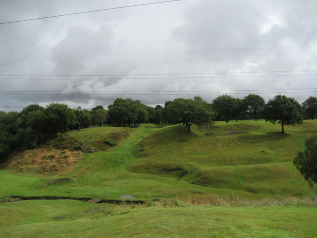
The Antonine Wall is a historic site located in Stirlingshire, Scotland. Constructed in the 2nd century AD, it is a significant archaeological and cultural monument that was designated as a UNESCO World Heritage Site in 2008. The wall stretches for a distance of approximately 60 kilometers from the Firth of Forth to the Firth of Clyde, marking the northernmost frontier of the Roman Empire.
Built under the orders of Emperor Antoninus Pius, the Antonine Wall was intended to provide a defensive barrier against the Picts, a confederation of tribes living in what is now modern-day Scotland. The wall consists of a series of fortifications, including ditches, ramparts, and a turf wall. It was accompanied by a military road known as the Military Way, which allowed for quick movement of troops along the frontier.
Today, the Antonine Wall stands as a testament to the Roman Empire's engineering prowess and military might. While much of the wall has been lost due to natural erosion and human activity over the centuries, several sections and associated sites have been preserved and can be visited by the public. These include the remains of forts, bathhouses, and other structures that once served as important military and administrative centers along the wall.
The Antonine Wall provides valuable insights into the history and culture of the Roman Empire in Scotland, as well as the interactions between the Romans and the indigenous peoples of the region. It is a popular destination for tourists, history enthusiasts, and archaeologists alike, offering a unique opportunity to explore an ancient frontier and learn about the Roman occupation of Scotland.
If you have any feedback on the listing, please let us know in the comments section below.
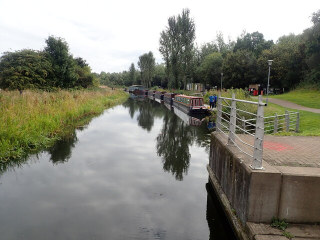
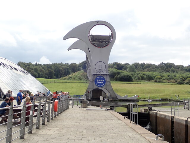
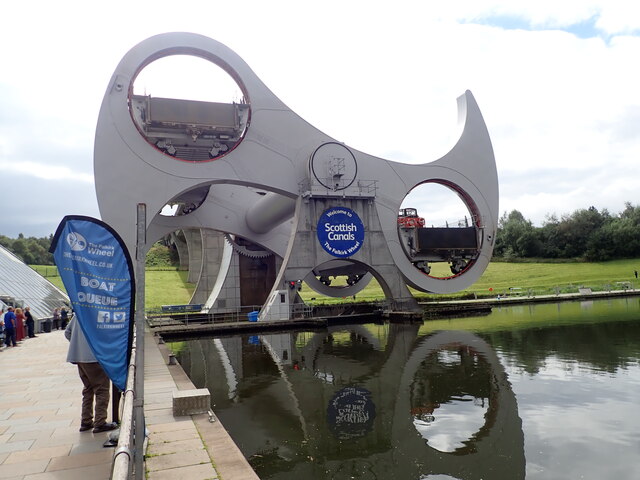
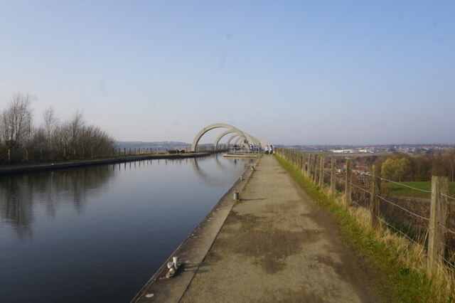
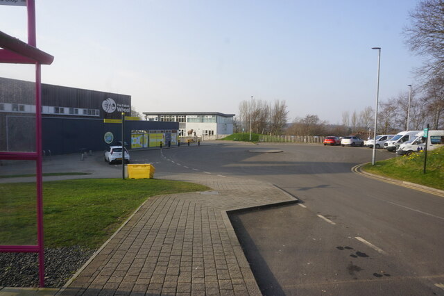
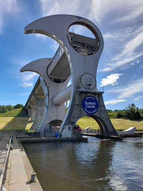
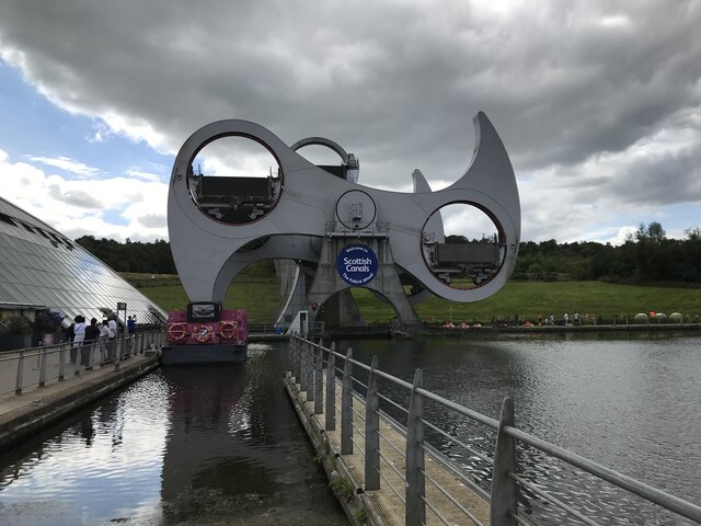
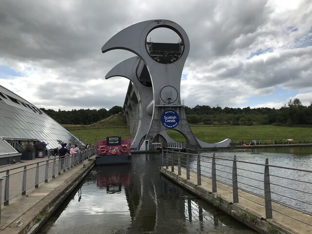
Antonine Wall Images
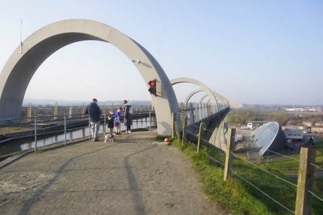
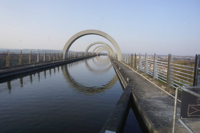
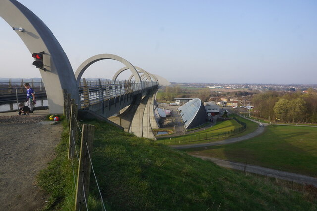
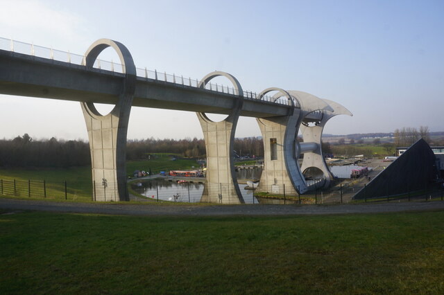
Images are sourced within 2km of 55.995/-3.868 or Grid Reference NS8379. Thanks to Geograph Open Source API. All images are credited.
Antonine Wall is located at Grid Ref: NS8379 (Lat: 55.995, Lng: -3.868)
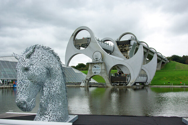
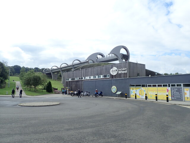
Unitary Authority: Falkirk
Police Authority: Forth Valley
What 3 Words
///smiled.sprayer.estuaries. Near Bonnybridge, Falkirk
Nearby Locations
Related Wikis
High Bonnybridge
High Bonnybridge is a small village which lies in the Falkirk council area of Scotland. The village is located 0.5 miles (0.8 km) south-east of Bonnybridge...

Bonnybridge High railway station
Bonnybridge High railway station was a railway station serving the village of Bonnybridge. The station was originally part of the Edinburgh and Glasgow...
Rough Castle Fort
Rough Castle Fort is a Roman fort on the Antonine Wall roughly 2 kilometres south east of Bonnybridge near Tamfourhill in the Falkirk council area, Scotland...

Bonnybridge railway station
Bonnybridge railway station was a railway station serving the village of Bonnybridge in central Scotland. The station was located on a short branch off...
Bonnybridge
Bonnybridge (Scottish Gaelic: Drochaid Bhunaich; Scots: Bonniebrig) is a village in the Falkirk council area of Scotland. It is 4.0 miles (6.4 km) west...

Greenhill, Falkirk
Greenhill is a village which lies in the Falkirk council area of Scotland. The village is located on the outskirts of Bonnybridge, 4.3 miles (6.9 km) west...

Greenhill Lower railway station
Greenhill Lower railway station served the village of Greenhill, Falkirk, Scotland from 1848 to 1966 on the Scottish Central Railway. == History == The...
Bonnybridge Central railway station
Bonnybridge Central railway station served the village of Bonnybridge, Falkirk, Scotland from 1888 to 1935 on the Kilsyth and Bonnybridge Railway. ��2...
Nearby Amenities
Located within 500m of 55.995,-3.868Have you been to Antonine Wall?
Leave your review of Antonine Wall below (or comments, questions and feedback).