Antonine Wall
Heritage Site in Lanarkshire
Scotland
Antonine Wall

The Antonine Wall is a historical site located in Lanarkshire, Scotland. It is a Roman fortification that stretches across central Scotland, approximately 37 miles long. Built during the 2nd century AD, the wall was commissioned by the Roman Emperor Antoninus Pius as a defense line against the northern tribes of Scotland, primarily the Picts.
Constructed primarily of turf, the Antonine Wall was a formidable barrier with a series of forts and watchtowers. It was built on a stone foundation and featured a deep ditch on its northern side. The wall ran from modern-day Bo'ness on the River Forth to Old Kilpatrick on the River Clyde. The forts along the wall housed Roman soldiers who were tasked with maintaining order and protecting the frontier.
The Antonine Wall was in use for a relatively short period, around 20 years, before the Romans withdrew from Scotland and retreated to Hadrian's Wall further south. Despite its brief existence, the wall played a significant role in Roman military strategy and had a lasting impact on the landscape and culture of the region.
Today, the Antonine Wall is a designated World Heritage Site, recognized for its historical and archaeological importance. Visitors can explore the remains of the wall and its associated forts, which provide insight into Roman military engineering and the Roman Empire's presence in Scotland. The site offers various trails and interpretive panels to enhance the visitor experience and understanding of this ancient monument.
If you have any feedback on the listing, please let us know in the comments section below.
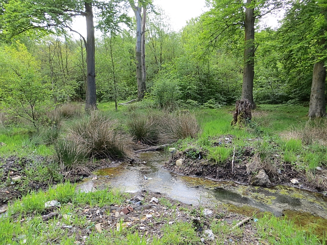
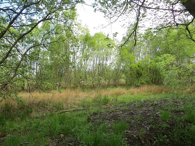
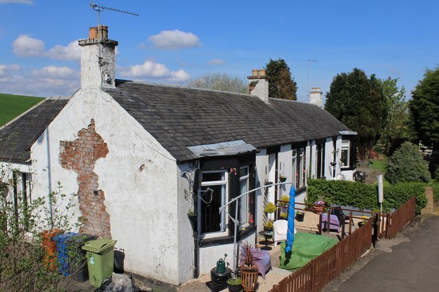
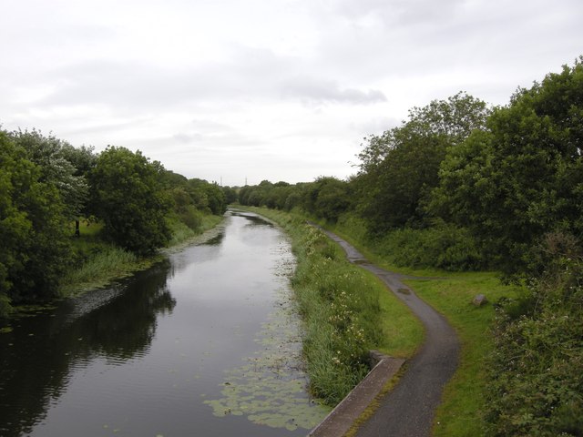
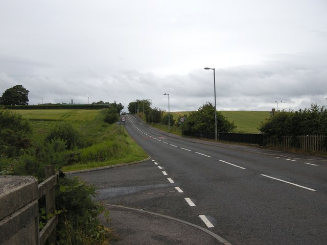
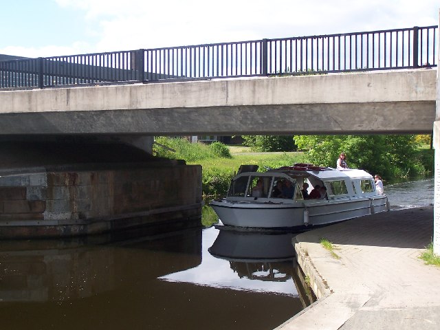
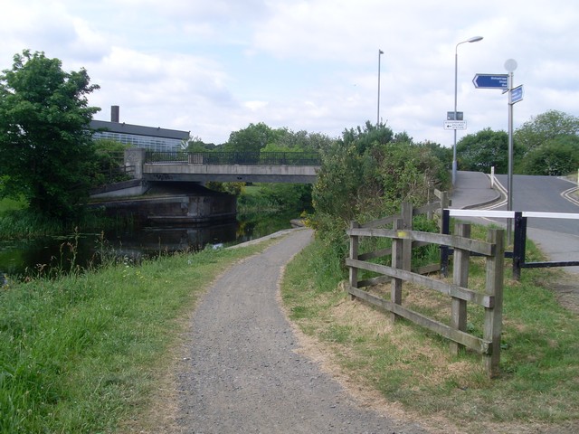
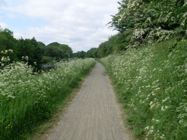
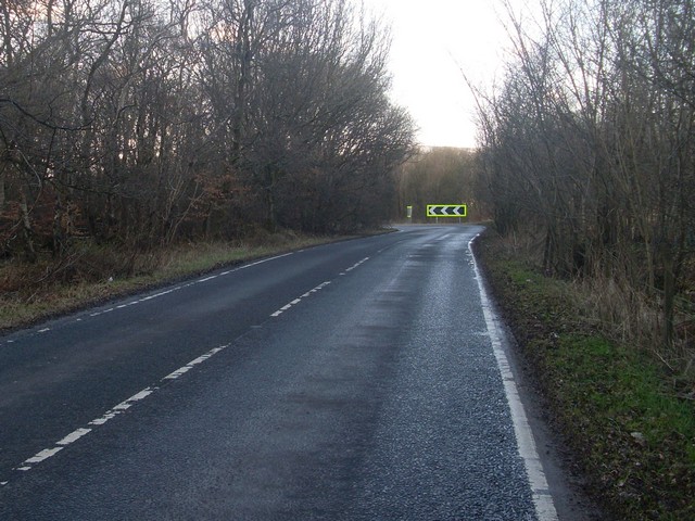
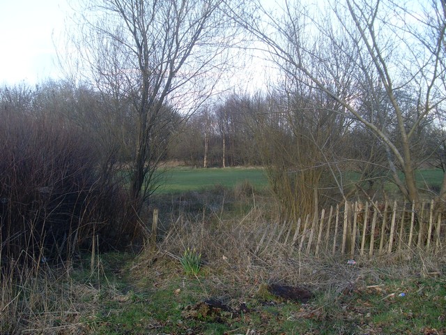
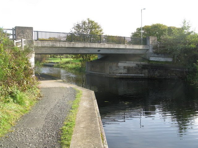
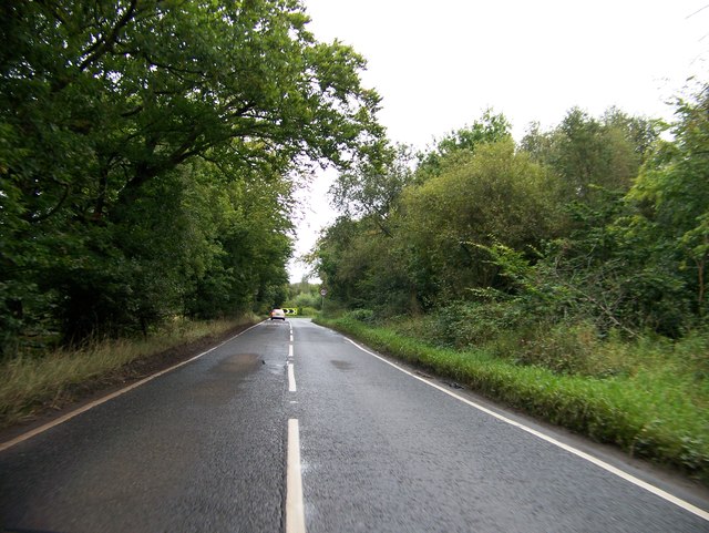
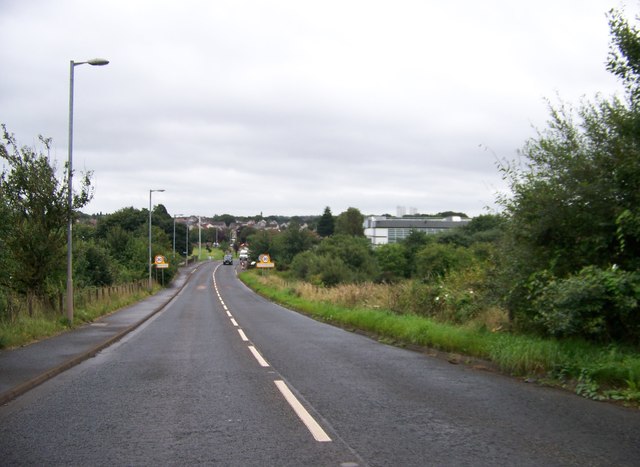
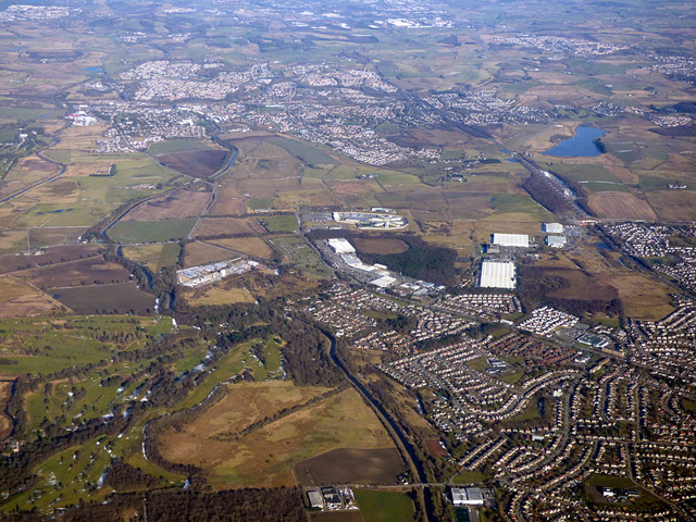
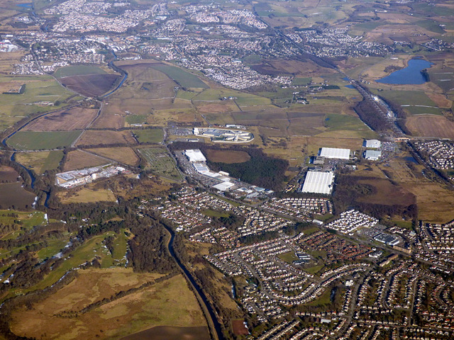
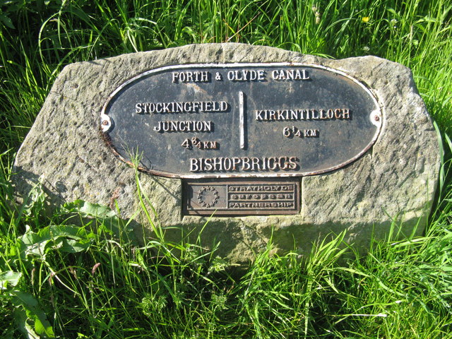
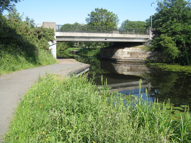
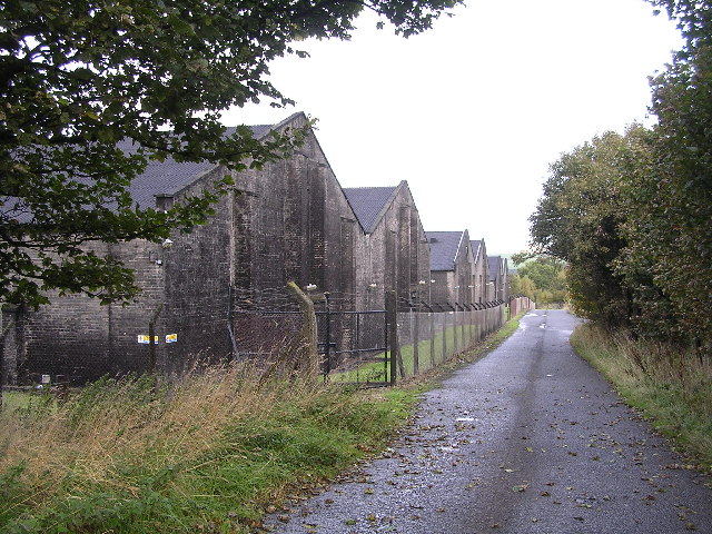
Antonine Wall Images
Images are sourced within 2km of 55.915/-4.265 or Grid Reference NS5871. Thanks to Geograph Open Source API. All images are credited.
Antonine Wall is located at Grid Ref: NS5871 (Lat: 55.915, Lng: -4.265)
Unitary Authority: City of Glasgow
Police Authority: Greater Glasgow
What 3 Words
///spoil.paints.text. Near Bishopbriggs, East Dunbartonshire
Nearby Locations
Related Wikis
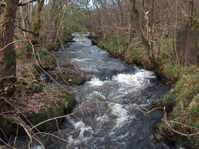
Allander Water
The Allander Water (Scottish Gaelic: Uisge Alandair) is a river in East Dunbartonshire and Stirling, Scotland, and one of the three main tributaries of...
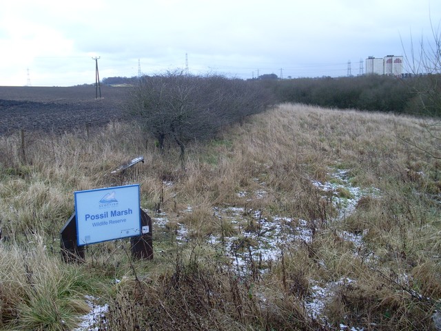
Possil Marsh
Possil Marsh is a nature reserve and Site of Special Scientific Interest, of both flora and fauna, within the city of Glasgow, Scotland. The reserve was...
Wilderness Plantation
Wilderness Plantation was the site of a Roman fortlet on the Antonine Wall in Scotland.The line of the Antonine Wall runs roughly parallel between the...

Bardowie railway station
Bardowie railway station was opened in 1905 on the Kelvin Valley Railway, later than most of the other stations which had opened with the line itself in...

Turnbull High School
Turnbull High School is a co-educational comprehensive secondary school located in Bishopbriggs, East Dunbartonshire, Scotland. The school was named after...

Summerston
Summerston is a residential area of Glasgow, Scotland. With most of the housing constructed in the 1970s, it is situated in the far north of the city and...

Milton, Glasgow
Milton is a district in the Scottish city of Glasgow, situated north of the River Clyde. The housing scheme is about 2+1⁄2 miles (4 kilometres) north of...

Cadder, Glasgow
Cadder is a neighbourhood in the north of Glasgow, Scotland. Within the Canal ward under Glasgow City Council, historically more closely associated with...
Nearby Amenities
Located within 500m of 55.915,-4.265Have you been to Antonine Wall?
Leave your review of Antonine Wall below (or comments, questions and feedback).