Easter Balmuidy
Settlement in Lanarkshire
Scotland
Easter Balmuidy

Easter Balmuidy is a small rural hamlet located in the county of Lanarkshire, Scotland. It is situated approximately 10 miles north of the town of Lanark and is surrounded by picturesque countryside, offering breathtaking views of the rolling hills and meandering streams that characterize the region.
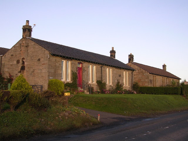
The hamlet itself is comprised of a cluster of traditional stone-built cottages, giving it a quaint and charming atmosphere. The population of Easter Balmuidy is relatively small, with only a handful of residents calling it home. This adds to the sense of tranquility and seclusion that can be experienced in the area.
Despite its small size, Easter Balmuidy boasts a close-knit community that is known for its warmth and friendliness. The residents take great pride in their hamlet and work together to maintain its natural beauty and heritage.
Easter Balmuidy is surrounded by various outdoor recreational opportunities, making it an ideal destination for nature lovers and outdoor enthusiasts. The surrounding countryside offers ample opportunities for hiking, cycling, and fishing, allowing visitors to immerse themselves in the stunning landscapes that Lanarkshire has to offer.
Although Easter Balmuidy may be a relatively unknown destination, its natural beauty, peaceful ambiance, and friendly community make it a hidden gem worth exploring for those seeking a tranquil escape in the heart of Scotland.
If you have any feedback on the listing, please let us know in the comments section below.
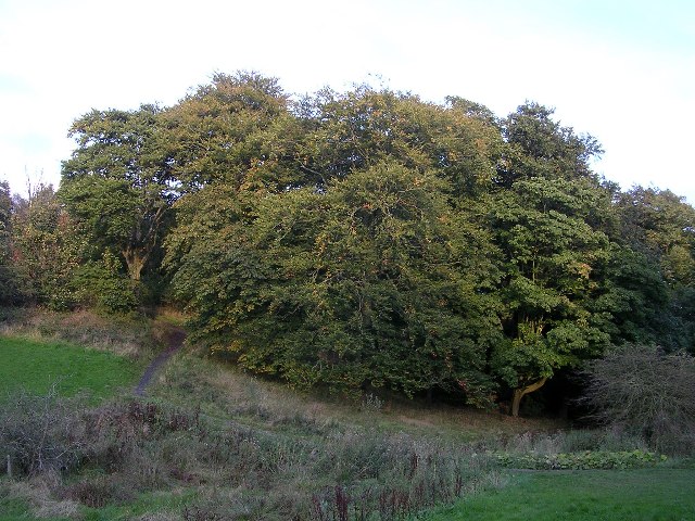
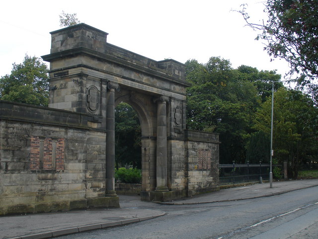
Easter Balmuidy Images
Images are sourced within 2km of 55.911081/-4.2733313 or Grid Reference NS5871. Thanks to Geograph Open Source API. All images are credited.


Easter Balmuidy is located at Grid Ref: NS5871 (Lat: 55.911081, Lng: -4.2733313)
Unitary Authority: City of Glasgow
Police Authority: Greater Glasgow
What 3 Words
///eager.loser.small. Near Bishopbriggs, East Dunbartonshire
Nearby Locations
Related Wikis
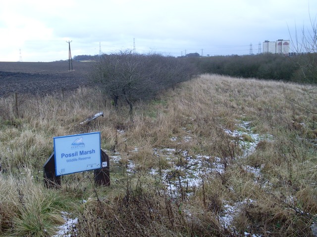
Possil Marsh
Possil Marsh is a nature reserve and Site of Special Scientific Interest, of both flora and fauna, within the city of Glasgow, Scotland. The reserve was...

Summerston
Summerston is a residential area of Glasgow, Scotland. With most of the housing constructed in the 1970s, it is situated in the far north of the city and...

Cadder, Glasgow
Cadder is a neighbourhood in the north of Glasgow, Scotland. Within the Canal ward under Glasgow City Council, historically more closely associated with...
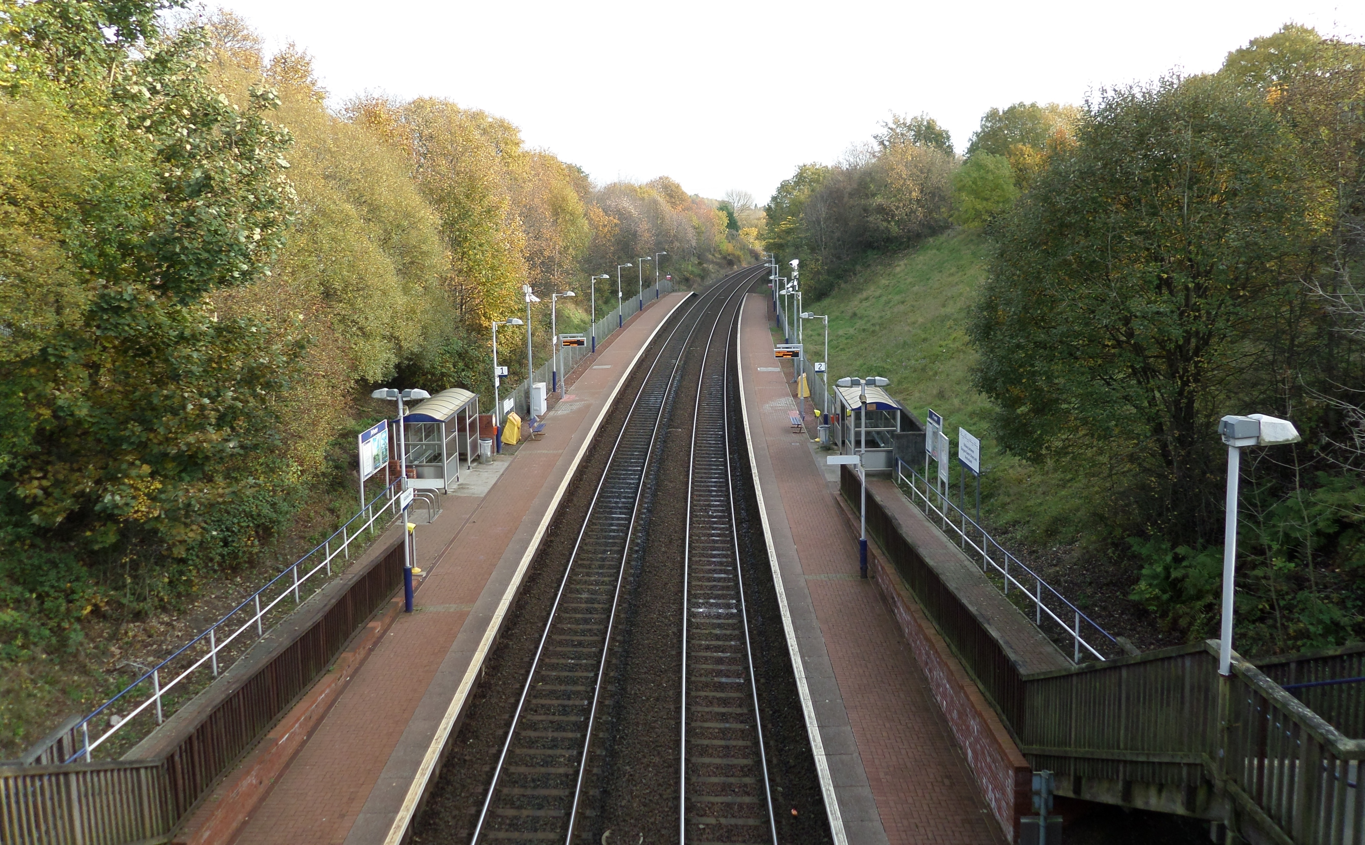
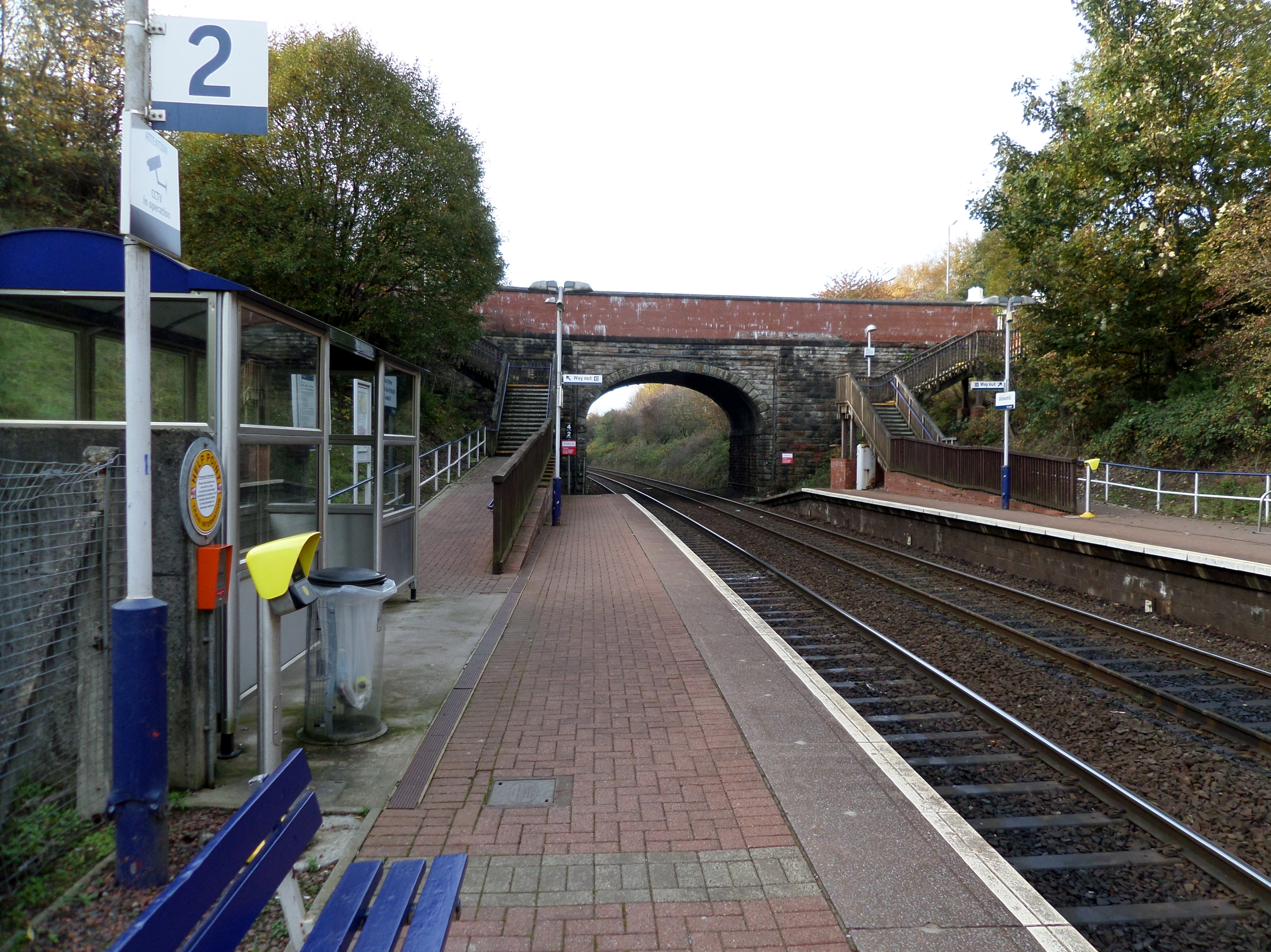
Gilshochill railway station
Gilshochill railway station is a railway station serving the Gilshochill, Maryhill and Cadder areas of Glasgow, Scotland. The station is located on the...
Gilshochill
Gilshochill ( GIL-shee-hil; Scots: Gilshochull) is located to the north west of Maryhill in the City of Glasgow, Scotland. Immediately north of Maryhill...

Glasgow Golf Club
Glasgow Golf Club, founded in May 1787, is the ninth oldest golf club in the world. It has changed location several times during its history, but has been...
Lochburn railway station
Lochburn railway station served the area of Maryhill, Glasgow, Scotland, from 1890 to 1917 on the Glasgow, Dumbarton and Helensburgh Railway. == History... ==
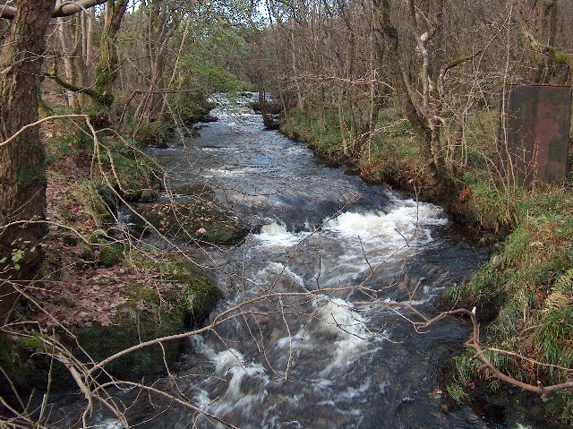
Allander Water
The Allander Water (Scottish Gaelic: Uisge Alandair) is a river in East Dunbartonshire and Stirling, Scotland, and one of the three main tributaries of...
Nearby Amenities
Located within 500m of 55.911081,-4.2733313Have you been to Easter Balmuidy?
Leave your review of Easter Balmuidy below (or comments, questions and feedback).