Antony
Heritage Site in Cornwall
England
Antony
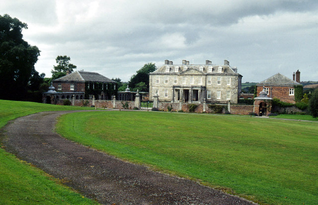
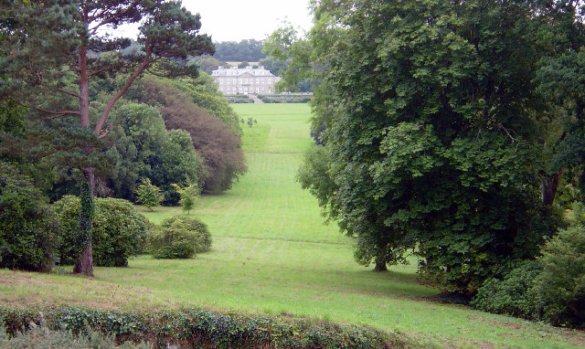
Antony, Cornwall is a historical heritage site located in the South West of England, near the town of Torpoint. This picturesque estate is renowned for its stunning mansion house and beautifully landscaped gardens, making it a popular attraction for visitors from all around the world.
Built in the early 18th century, Antony House is a prime example of Georgian architecture. The house has been carefully preserved and showcases a unique blend of styles, ranging from the elegant classical interiors to the more rustic and charming aspects of the servants' quarters. Visitors can explore the various rooms, including the grand entrance hall, drawing room, library, and dining room, which are adorned with exquisite antique furniture, artwork, and other historical artifacts.
The surrounding gardens and parkland of Antony further enhance the charm of this heritage site. The gardens, which were designed by renowned landscape architect Humphry Repton, feature a mix of formal lawns, woodland walks, and vibrant flower beds. The estate also boasts a charming orangery, a picturesque lake, and a quaint tea house where visitors can relax and enjoy the serene surroundings.
In addition to its architectural and horticultural wonders, Antony is also steeped in history. The estate has been in the ownership of the Carew family for over six centuries, and visitors have the opportunity to learn about the family's fascinating past through informative displays and guided tours.
Overall, Antony, Cornwall is a captivating heritage site that offers visitors a glimpse into the rich history and beauty of the region. It is a must-visit destination for history enthusiasts, garden lovers, and anyone seeking a tranquil escape in the heart of Cornwall.
If you have any feedback on the listing, please let us know in the comments section below.
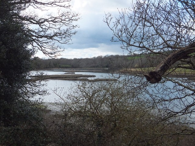
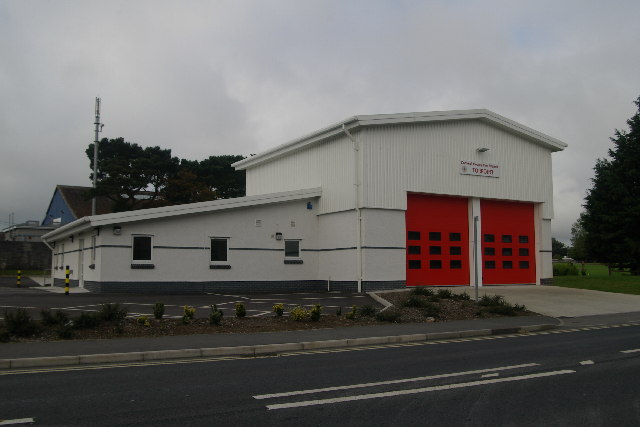
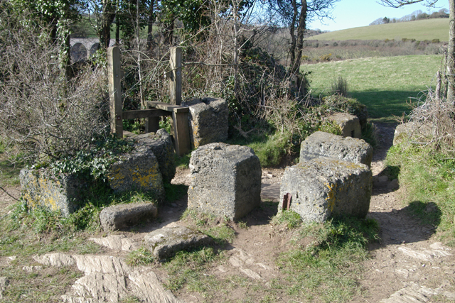
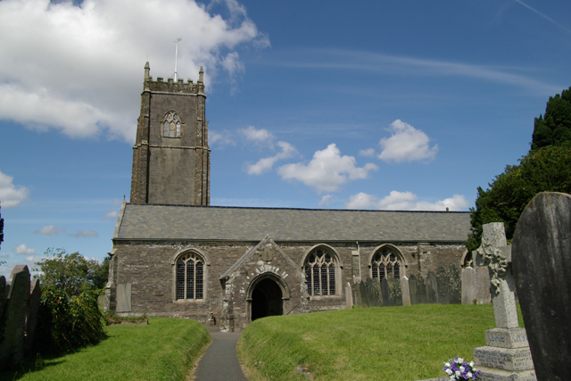
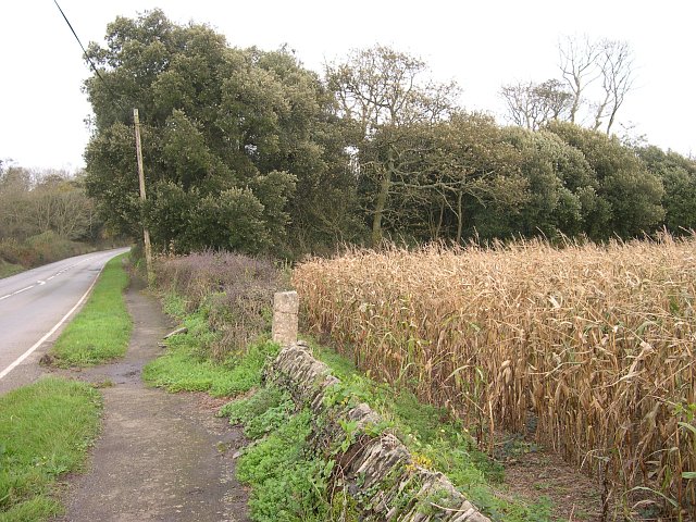
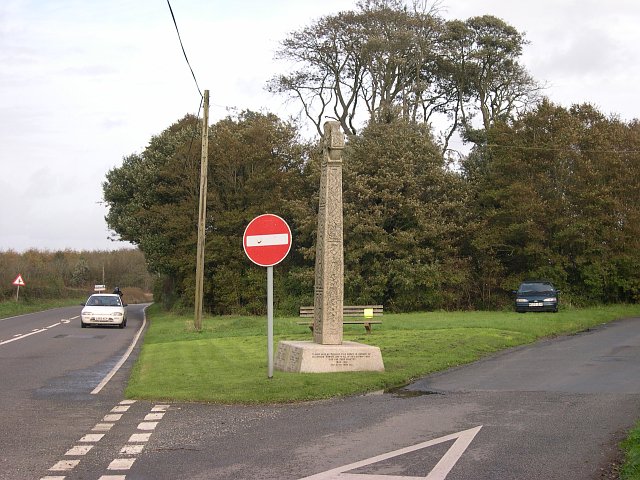
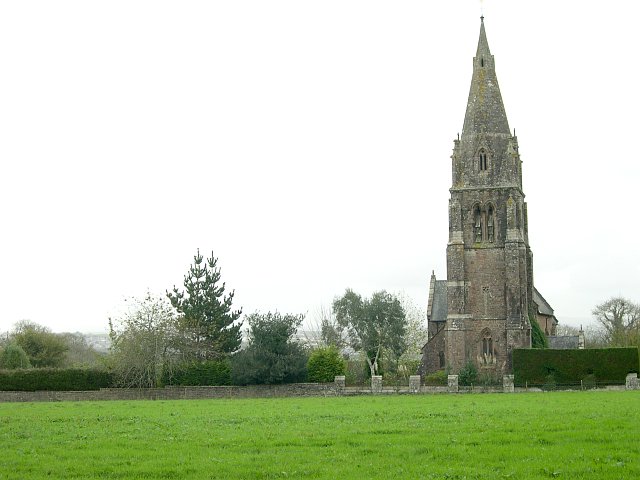
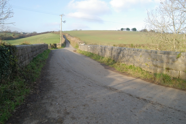
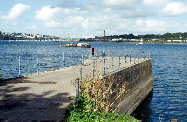
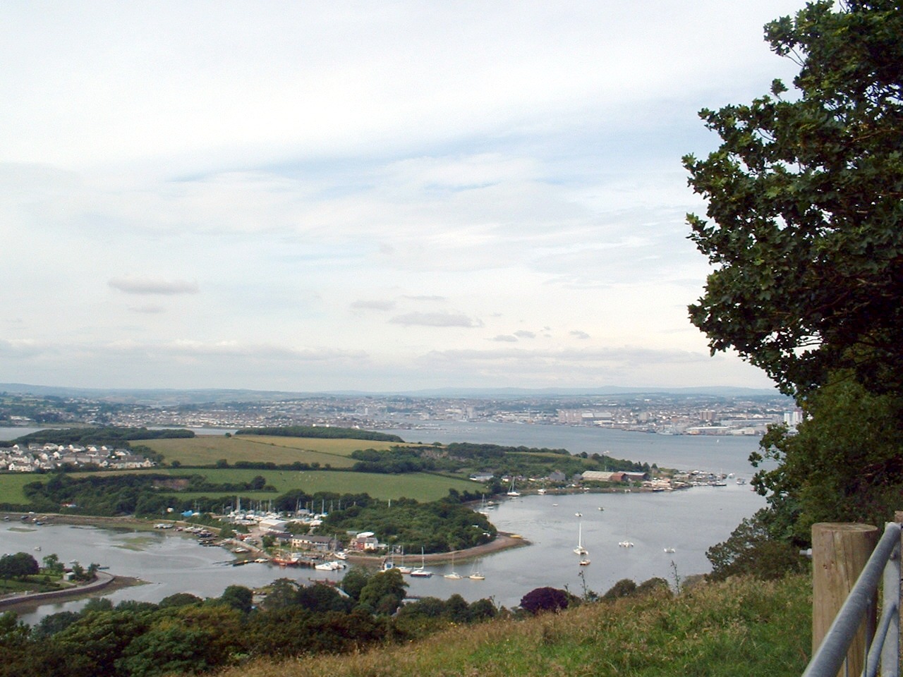
Antony Images
Images are sourced within 2km of 50.386/-4.227 or Grid Reference SX4156. Thanks to Geograph Open Source API. All images are credited.


Antony is located at Grid Ref: SX4156 (Lat: 50.386, Lng: -4.227)
Unitary Authority: Cornwall
Police Authority: Devon and Cornwall
What 3 Words
///swung.cheerily.appetite. Near Saltash, Cornwall
Nearby Locations
Related Wikis

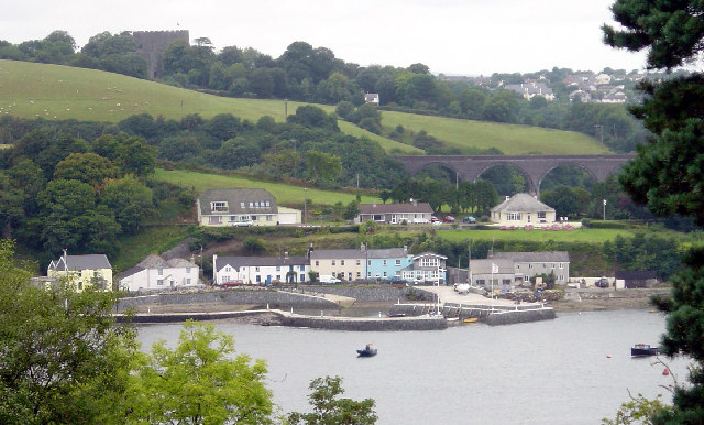
Antony Passage
Antony Passage is a hamlet in south-east Cornwall, England, UK. It stands beside the tidal section of the River Lynher (a tributary of the River Tamar...

Maryfield, Cornwall
Maryfield is a hamlet north of Torpoint and east of Antony House in southeast Cornwall, England. == References ==

Churchtown Farm
Churchtown Farm is a community nature reserve one mile south of Saltash, Cornwall, England. It is leased from Antony Estate and managed by Cornwall Wildlife...

HMS Raleigh (shore establishment)
HMS Raleigh is a stone frigate (shore establishment), serving as the basic training facility of the Royal Navy at Torpoint, Cornwall, United Kingdom. It...
Wilcove
Wilcove is a small coastal village in Cornwall, England, United Kingdom. It is situated one mile (1.6 km) north of Torpoint and one mile (1.6 km) west...

A374 road
The A374 is a main road in the United Kingdom, one of six A-roads making the border crossing between Devon and Cornwall. It is the most southerly of the...
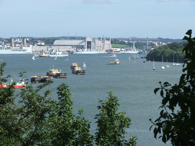
Hamoaze
The Hamoaze (; Cornish pronunciation: [ˈhɒmøz]) is an estuarine stretch of the English tidal River Tamar, between its confluence with the River Lynher...

Torpoint Community College
Torpoint Community College (often referred to as 'TCC') is a secondary school in south-east Cornwall, England. It educates 775 students aged 11 to 18....
Related Videos

Walking tour, Thanckes Lake, Torpoint, Cornwall, UK
Thanckes Lake is a water feature in Torpoint, Cornwall.

A trip on the “old” but not “oldest”TORPOINT FERRY 1999
A trip on the “old” but not “oldest”TORPOINT FERRY 1999.

Into the place where Alice on wonderland was been directed # #nationaltrust #aliceinwonderland
Just a half hour away from plymouth , a bit journey by ferry National Trust - Antony Location - Ferry Ln, Torpoint PL11 2QA.

Antony House, Antony, Cornwall, England - National Trust
2 minute video of the highlights of Antony House, Cornwall, England. Owned by the National Trust. ( #AntonyHouse ...
Nearby Amenities
Located within 500m of 50.386,-4.227Have you been to Antony?
Leave your review of Antony below (or comments, questions and feedback).