Elf Hill

Hill, Mountain in Stirlingshire

Scotland

Elf Hill

Falkirk Wheel - upper level sealing arrangement Swinging the boat lift is the easy bit, it is the sealing devices at each level and at each end of the two boat chambers that get complicated. A view from a descending boat.
Falkirk Wheel - upper level sealing arrangement Credit: Robin Webster

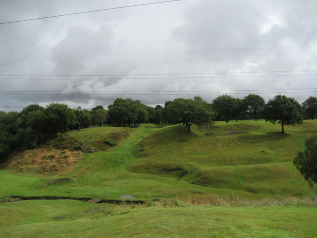
Elf Hill, located in Stirlingshire, Scotland, is a prominent landmark that stands tall as a hill in the region. Rising to an elevation of approximately 245 meters (800 feet), it offers breathtaking views of the surrounding landscape. Despite its relatively modest height, the hill remains a popular destination for outdoor enthusiasts, locals, and tourists alike.

The name "Elf Hill" is derived from the local folklore that suggests the presence of supernatural creatures, known as elves, in the area. According to the legends, these mischievous creatures would gather and dance on the hill during the night. While there is no concrete evidence to support these ancient tales, the name has persisted over the years and contributes to the hill's charm.

Elf Hill is known for its diverse flora and fauna, showcasing a variety of plant species such as heather, gorse, and wildflowers in the warmer months. The hill also provides a habitat for various bird species, including red kites and buzzards, making it a haven for birdwatchers.

Access to Elf Hill is relatively easy, with several well-marked trails leading to its summit. Hikers can enjoy a moderate climb, taking in the stunning panoramic views as they ascend. The hill is also popular among dog walkers and families, offering a pleasant outdoor experience for all.

In conclusion, Elf Hill in Stirlingshire is a captivating natural landmark that combines folklore, scenic beauty, and outdoor recreation. Whether visitors are drawn by the mythical tales or the opportunity to immerse themselves in nature, Elf Hill truly offers something for everyone.

If you have any feedback on the listing, please let us know in the comments section below.
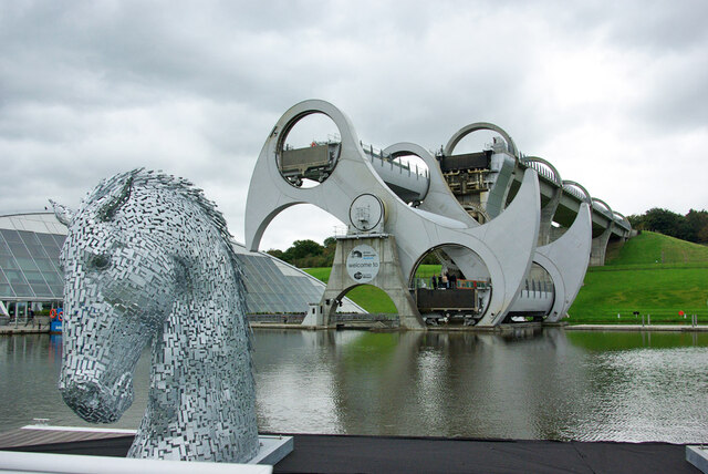
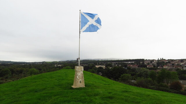
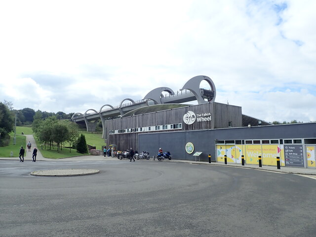
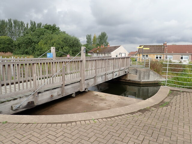
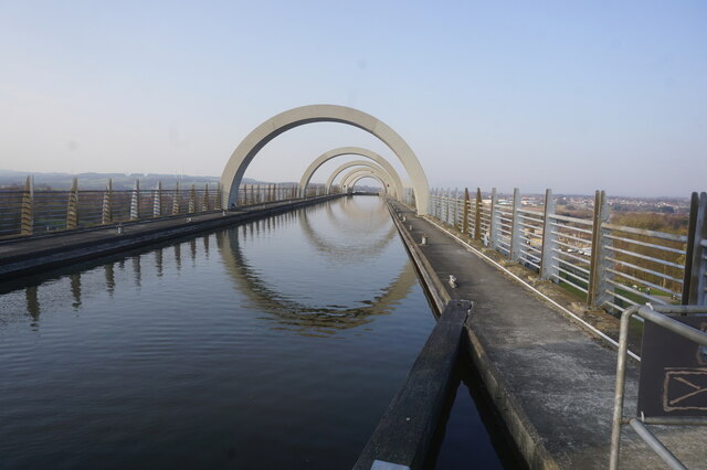
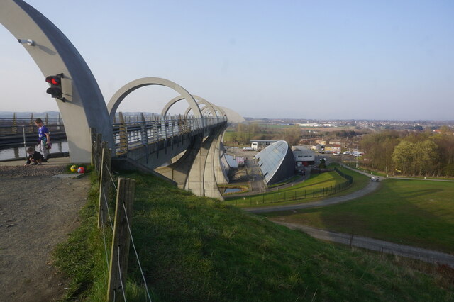
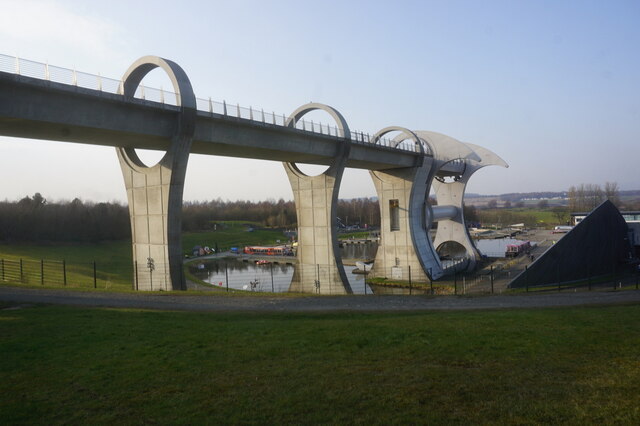
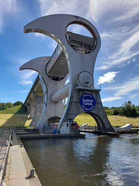
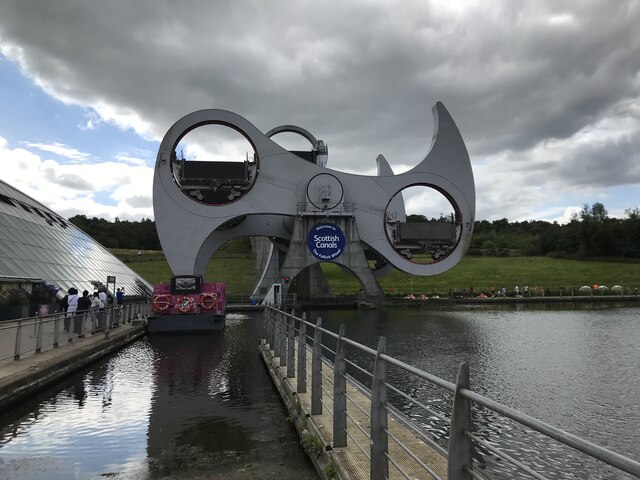
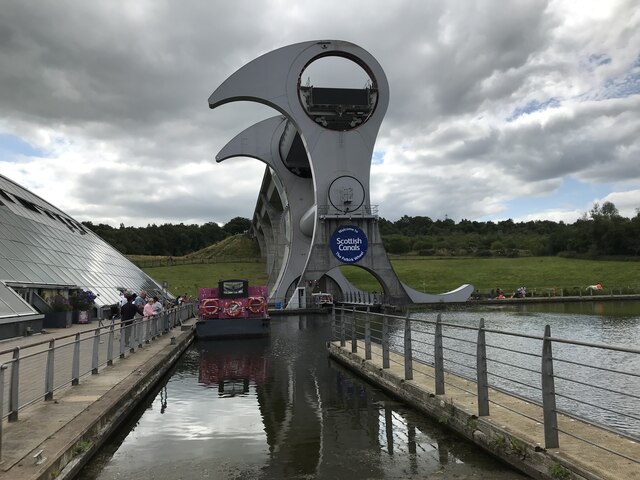
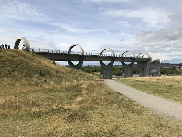
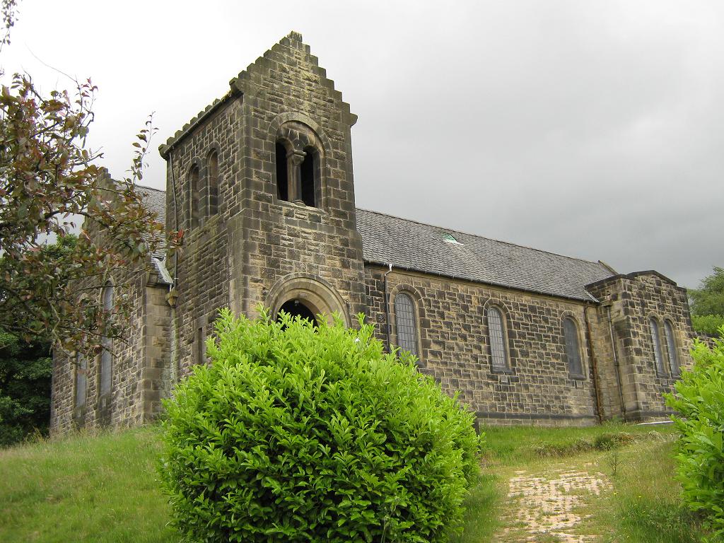
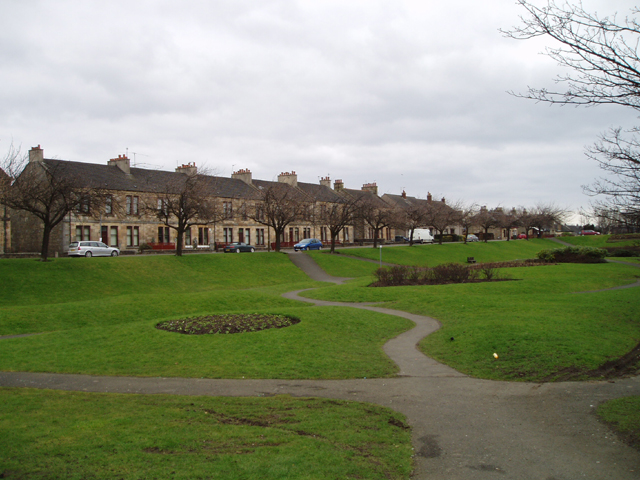
Elf Hill Images

Images are sourced within 2km of 55.996281/-3.8720003 or Grid Reference NS8379. Thanks to Geograph Open Source API. All images are credited.

Falkirk Wheel - upper level sealing arrangement Swinging the boat lift is the easy bit, it is the sealing devices at each level and at each end of the two boat chambers that get complicated. A view from a descending boat.
Falkirk Wheel - upper level sealing arrangement
Swinging the boat lift is the easy bit, it is the sealing devices at each level and at each end of the two boat chambers that get complicated. A view from a descending boat.
Falkirk Wheel and a Kelpie model, 2007 Despite what Wikipedia says, the miniature (1/10) Kelpies existed in 2007, and were not made in 2008. They were on display here before the large size ones were made or even had the finance secured, from what I remember of the display board.
Falkirk Wheel and a Kelpie model, 2007
Despite what Wikipedia says, the miniature (1/10) Kelpies existed in 2007, and were not made in 2008. They were on display here before the large size ones were made or even had the finance secured, from what I remember of the display board.
Cowden Hill Trig Point at Bonnybridge
The Falkirk Wheel Visitor Centre for the Falkirk Wheel, and behind it the Union Canal culminating in a boat lift
The Falkirk Wheel
Visitor Centre for the Falkirk Wheel, and behind it the Union Canal culminating in a boat lift
Rotating bridge at the basin at the foot of the Falkirk Wheel Opened in 2002 by the Queen, the Falkirk Wheel is a testament to the popularity of canal cruising in the modern era. It connects the Forth and Clyde Canal with the Union Canal, replacing a flight of locks which fell into disuse in the 1930s and had been built on. The wheel raises or lowers boats 24m (79ft) and takes five-and-a-half minutes to complete a rotation. It is now a major visitor attraction.
Rotating bridge at the basin at the foot of the Falkirk Wheel
Opened in 2002 by the Queen, the Falkirk Wheel is a testament to the popularity of canal cruising in the modern era. It connects the Forth and Clyde Canal with the Union Canal, replacing a flight of locks which fell into disuse in the 1930s and had been built on. The wheel raises or lowers boats 24m (79ft) and takes five-and-a-half minutes to complete a rotation. It is now a major visitor attraction.
Falkirk Wheel Waiting for the wheel to rotate, one gondola is at the top and the other in the tunnel at the bottom
Falkirk Wheel
Waiting for the wheel to rotate, one gondola is at the top and the other in the tunnel at the bottom
Half-way round on the Falkirk Wheel Opened in 2002 by the Queen, the Falkirk Wheel is a testament to the popularity of canal cruising in the modern era. It connects the Forth and Clyde Canal with the Union Canal, replacing a flight of locks which fell into disuse in the 1930s and had been built on. The wheel raises or lowers boats 24m (79ft) and takes five-and-a-half minutes to complete a rotation. It is now a major visitor attraction.
Half-way round on the Falkirk Wheel
Opened in 2002 by the Queen, the Falkirk Wheel is a testament to the popularity of canal cruising in the modern era. It connects the Forth and Clyde Canal with the Union Canal, replacing a flight of locks which fell into disuse in the 1930s and had been built on. The wheel raises or lowers boats 24m (79ft) and takes five-and-a-half minutes to complete a rotation. It is now a major visitor attraction.
Union Canal at the Falkirk Wheel
Falkirk Wheel
Falkirk Wheel
Falkirk Wheel
Falkirk Wheel
Falkirk Wheel
Falkirk Wheel
Union Canal Aqueduct
Bridge Street, Bonnybridge
Show me another place!

Elf Hill is located at Grid Ref: NS8379 (Lat: 55.996281, Lng: -3.8720003)

Unitary Authority: Falkirk

Police Authority: Forth Valley

What 3 Words

///scarcely.micro.leopard. Near Bonnybridge, Falkirk

Related Wikis

High Bonnybridge

High Bonnybridge is a small village which lies in the Falkirk council area of Scotland. The village is located 0.5 miles (0.8 km) south-east of Bonnybridge...

Bonnybridge High railway station

Bonnybridge High railway station was a railway station serving the village of Bonnybridge. The station was originally part of the Edinburgh and Glasgow...

Bonnybridge railway station

Bonnybridge railway station was a railway station serving the village of Bonnybridge in central Scotland. The station was located on a short branch off...

Bonnybridge

Bonnybridge (Scottish Gaelic: Drochaid Bhunaich; Scots: Bonniebrig) is a village in the Falkirk council area of Scotland. It is 4.0 miles (6.4 km) west...

Rough Castle Fort

Rough Castle Fort is a Roman fort on the Antonine Wall roughly 2 kilometres south east of Bonnybridge near Tamfourhill in the Falkirk council area, Scotland...

Bonnybridge Central railway station

Bonnybridge Central railway station served the village of Bonnybridge, Falkirk, Scotland from 1888 to 1935 on the Kilsyth and Bonnybridge Railway. ��2...

Greenhill, Falkirk

Greenhill is a village which lies in the Falkirk council area of Scotland. The village is located on the outskirts of Bonnybridge, 4.3 miles (6.9 km) west...

Greenhill Lower railway station

Greenhill Lower railway station served the village of Greenhill, Falkirk, Scotland from 1848 to 1966 on the Scottish Central Railway. == History == The...

Nearby Amenities

Located within 500m of 55.996281,-3.8720003
High Bonnybridge
Is In: Falkirk District
Place: village
Wikidata: Q5754932
Wikipedia: en:High Bonnybridge
Lat/Long: 55.9948397/-3.8775146
Historic Power: tower
Source: NLS - OS 1:25k 1st Series 1937-61
Lat/Long: 55.9995565/-3.8700203
Historic Power: tower
Source: NLS - OS 1:25k 1st Series 1937-61
Lat/Long: 55.9960052/-3.8773803
Central Demolition
Addr City: Bonnybridge
Addr Housename: Central House
Addr Postcode: FK4 2AG
Addr Street: Chattan Industrial Estate
Lat/Long: 55.9979062/-3.8767991
Post Box
Note: information plate missing (5/2/23)
Post Box Type: pillar
Royal Cypher: GR
Royal Cypher Wikidata: Q33102273
Lat/Long: 55.9934481/-3.8761549
Bus Stop
Naptan AtcoCode: 66903490020
Naptan NaptanCode: 32525483
Lat/Long: 55.9948065/-3.8795
The data included in this document is from www.openstreetmap.org. The data is made available under ODbL.

Have you been to Elf Hill?

Leave your review of Elf Hill below (or comments, questions and feedback).