Woodbridge
Settlement in Dorset
England
Woodbridge
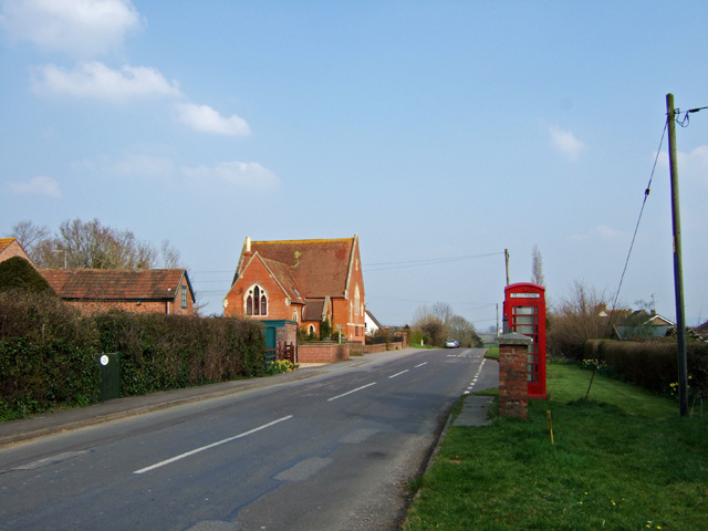
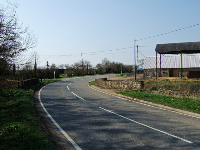
Woodbridge is a small and picturesque village located in the county of Dorset, England. Situated on the banks of the River Stour, it offers stunning views of the surrounding countryside and is a popular destination for nature lovers and outdoor enthusiasts.
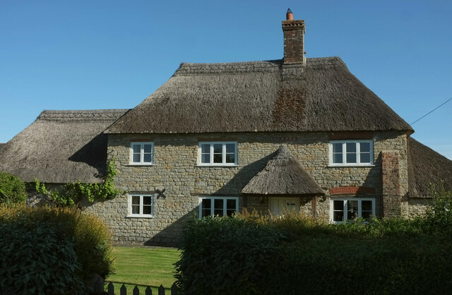
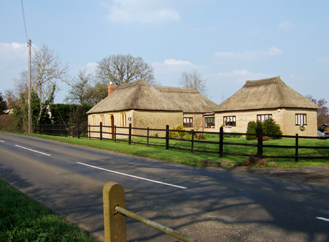
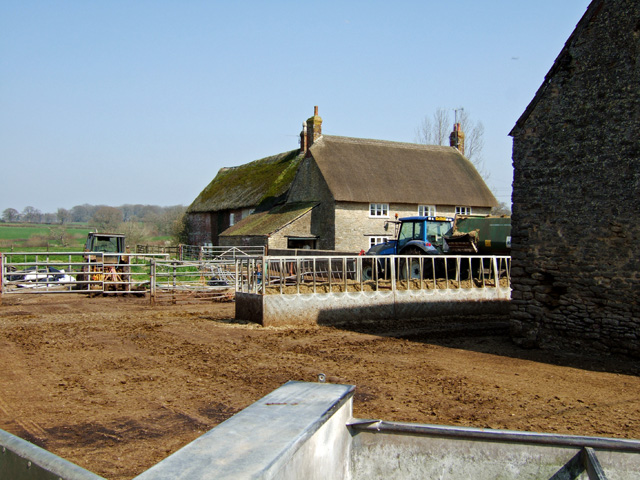
The village is known for its charming and well-preserved thatched cottages, giving it a traditional and timeless feel. The local community takes pride in maintaining the village's character and heritage, resulting in a welcoming and close-knit atmosphere.
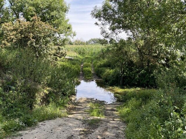
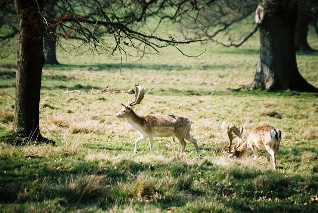
Woodbridge is surrounded by an abundance of natural beauty, with rolling hills and meandering rivers providing countless opportunities for outdoor activities. The nearby Stour Valley Way offers scenic walking trails, while the river itself is ideal for boating and fishing.
Despite its small size, Woodbridge boasts a few local amenities, including a village shop, a pub, and a village hall that hosts various community events throughout the year. The village also has a primary school, making it an attractive location for families with young children.
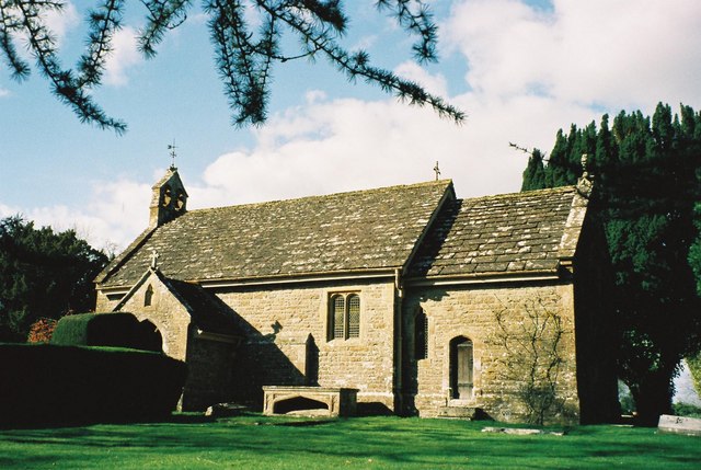
For those seeking a taste of history, Woodbridge is within easy reach of several historic landmarks. The ancient ruins of Corfe Castle and the picturesque town of Wareham are just a short drive away, offering visitors a glimpse into the region's rich past.
In conclusion, Woodbridge is a charming and idyllic village in Dorset, offering a perfect blend of natural beauty, heritage, and community spirit. Whether you are looking to explore the great outdoors, immerse yourself in history, or simply enjoy the tranquility of village life, Woodbridge has something for everyone.
If you have any feedback on the listing, please let us know in the comments section below.
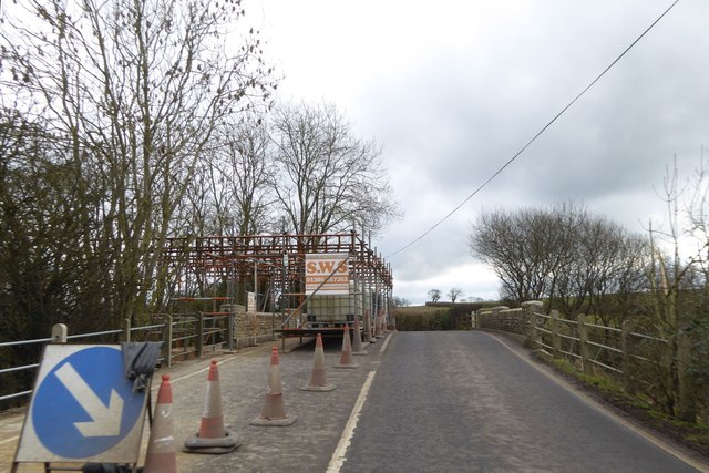
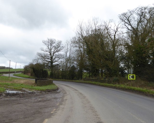
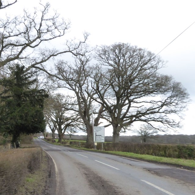
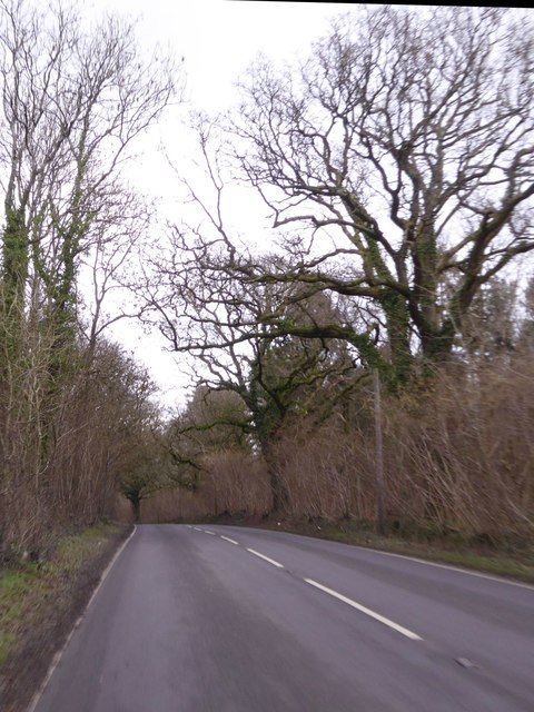
Woodbridge Images
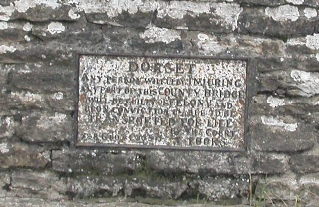
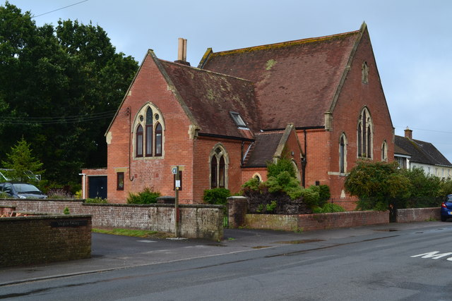
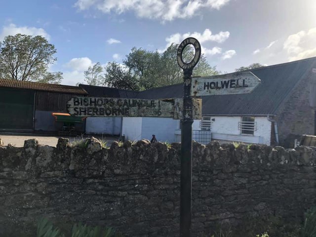
Images are sourced within 2km of 50.909139/-2.4105819 or Grid Reference ST7112. Thanks to Geograph Open Source API. All images are credited.

Woodbridge is located at Grid Ref: ST7112 (Lat: 50.909139, Lng: -2.4105819)
Unitary Authority: Dorset
Police Authority: Dorset
What 3 Words
///luck.twitches.misted. Near Stalbridge, Dorset
Nearby Locations
Related Wikis

Woodbridge, Dorset
Woodbridge is a hamlet in Dorset, England. The village is on the A3030 road and to the north east of Holwell. == History == Woodbridge was part of the...

Pleck Green
Pleck Green is a hamlet in Holwell, near Sherborne, Dorset, England. == References ==

Holwell, Dorset
Holwell is a village and civil parish in the county of Dorset in southern England, situated approximately 5 miles (8.0 km) south-east of Sherborne. It...

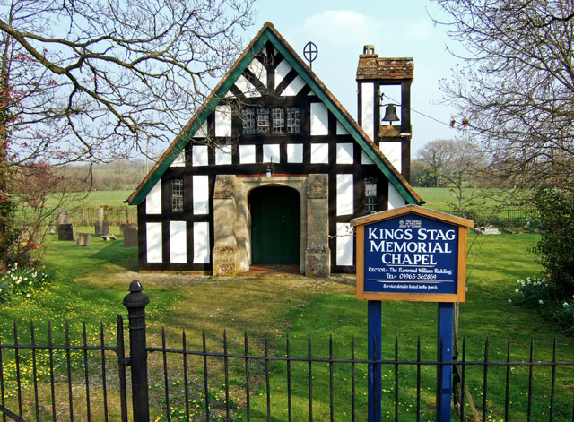
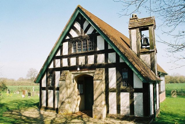
King's Stag Memorial Chapel
King's Stag Memorial Chapel is a Church of England chapel in King's Stag, Dorset, England. == History == The memorial chapel at King's Stag was built in...
Nearby Amenities
Located within 500m of 50.909139,-2.4105819Have you been to Woodbridge?
Leave your review of Woodbridge below (or comments, questions and feedback).