Woodbottom
Settlement in Yorkshire
England
Woodbottom

Woodbottom is a picturesque village located in the heart of Yorkshire, England. Situated in the southern part of the county, it is nestled within the rolling hills and verdant countryside that Yorkshire is renowned for. With a population of around 500 residents, Woodbottom retains its small village charm and offers a peaceful retreat from the hustle and bustle of city life.
The village is characterized by its quaint and well-preserved architecture, with many traditional stone cottages lining its narrow streets. The centerpiece of Woodbottom is the village green, a well-maintained open space that serves as a gathering point for local events and activities. Surrounding the green, visitors can find a few local shops, including a small grocery store and a charming tea room.
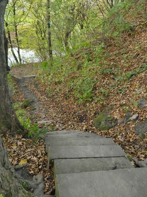
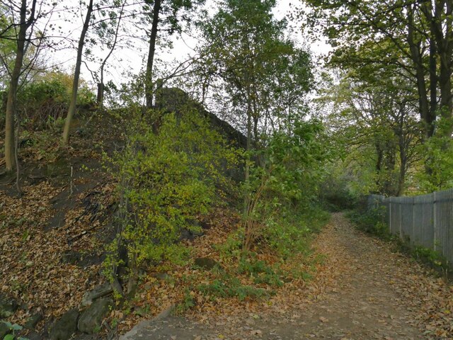
Nature enthusiasts will find themselves in paradise in Woodbottom, as the village is surrounded by stunning natural beauty. The nearby Woodbottom Forest offers ample opportunities for hiking and exploring, with its ancient woodland and diverse wildlife. The forest is also home to a network of walking trails that meander through the countryside, providing breathtaking views of the landscape.
Despite its rural setting, Woodbottom is well connected to nearby towns and cities. The village benefits from regular bus services, allowing residents and visitors to easily access the wider region. Additionally, the bustling market town of Harrogate is just a short drive away, offering a vibrant mix of shopping, dining, and cultural attractions.
In conclusion, Woodbottom is a charming village that embraces the tranquility and natural beauty of Yorkshire. With its idyllic setting, friendly community, and easy access to amenities, it is an ideal destination for those seeking a peaceful retreat in the heart of the countryside.
If you have any feedback on the listing, please let us know in the comments section below.
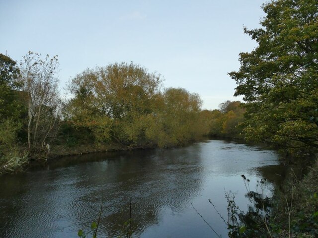
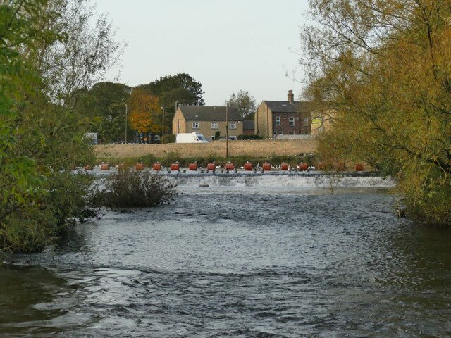
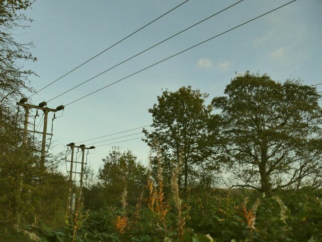
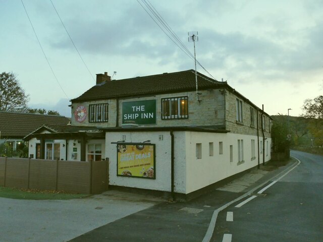
Woodbottom Images
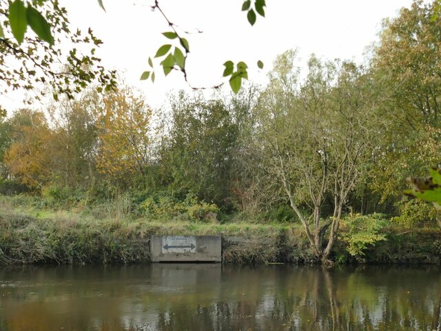
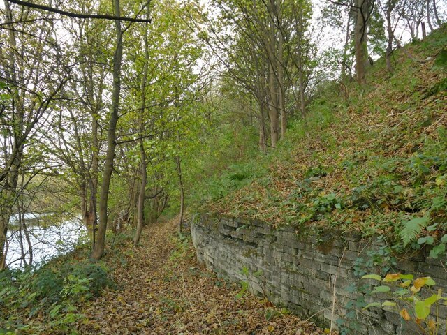
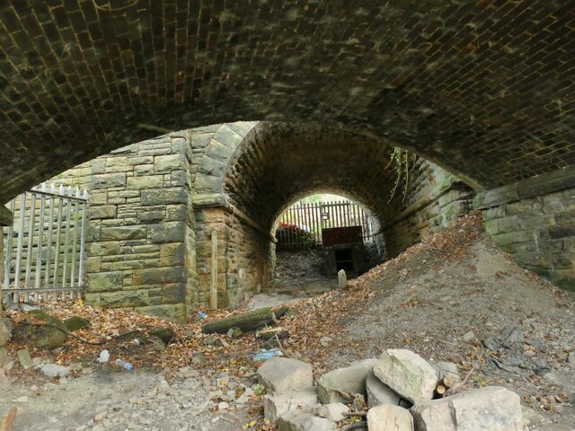
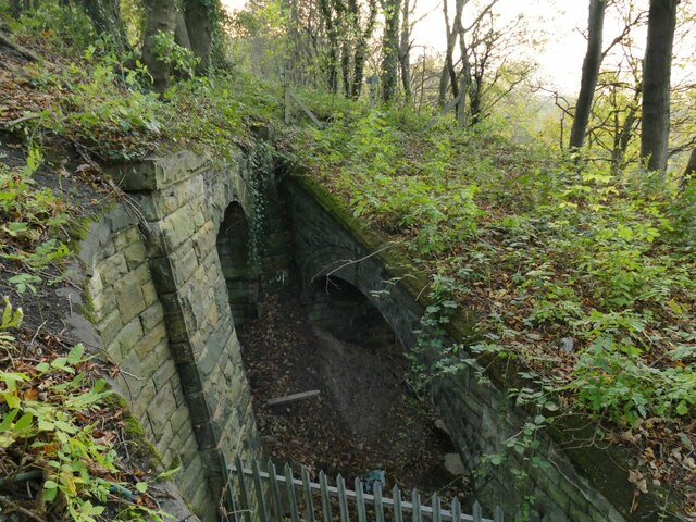
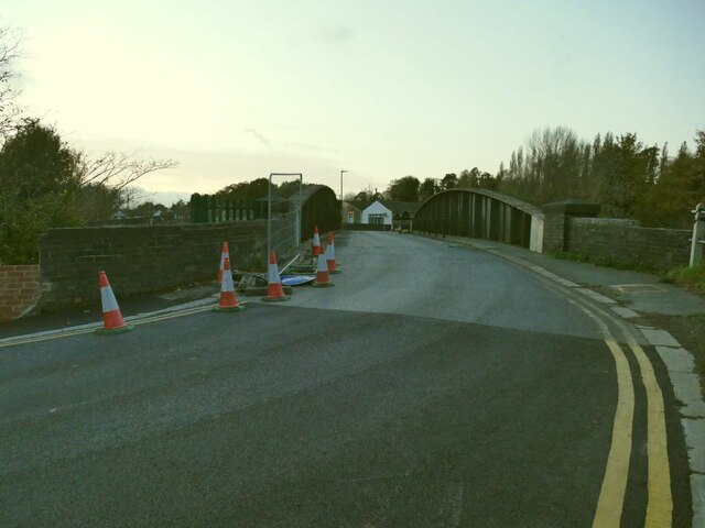
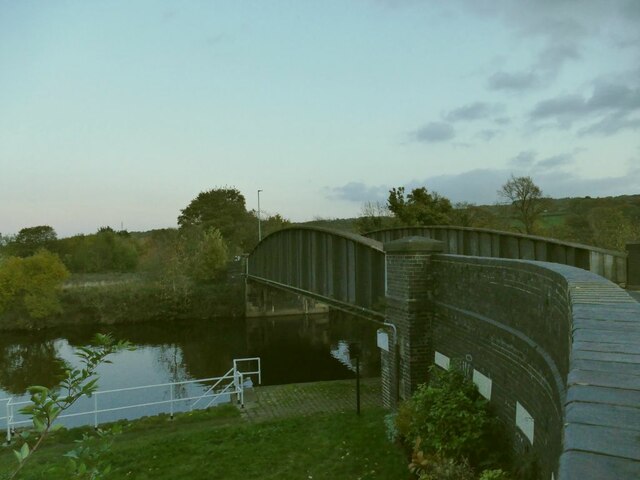
Images are sourced within 2km of 53.662681/-1.6823179 or Grid Reference SE2118. Thanks to Geograph Open Source API. All images are credited.


Woodbottom is located at Grid Ref: SE2118 (Lat: 53.662681, Lng: -1.6823179)
Division: West Riding
Unitary Authority: Kirklees
Police Authority: West Yorkshire
What 3 Words
///distanced.sparkle.tragedy. Near Mirfield, West Yorkshire
Nearby Locations
Related Wikis
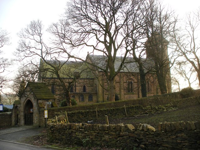
Whitley Lower
Whitley Lower is a village near Thornhill in Kirklees, West Yorkshire England. The parish church, dedicated to St Mary and St Michael, is part of the...

Mirfield railway station
Mirfield railway station serves the town of Mirfield in West Yorkshire, England. It lies on the Huddersfield Line and is managed by both Northern and Grand...

Mirfield Town Hall
Mirfield Town Hall is a former municipal building in Huddersfield Road in Mirfield, a town in West Yorkshire in England. The building, which was previously...

Ledgard Bridge
Ledgard Bridge crosses the River Calder in Mirfield, West Yorkshire, England. It was built in 1800 as a replacement for an earlier bridge in the same location...
Nearby Amenities
Located within 500m of 53.662681,-1.6823179Have you been to Woodbottom?
Leave your review of Woodbottom below (or comments, questions and feedback).