Bishop's Belt
Wood, Forest in Dorset
England
Bishop's Belt
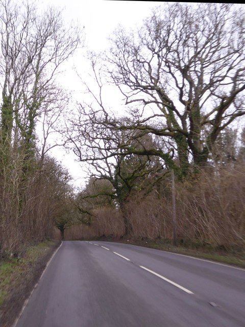
Bishop's Belt is a picturesque woodland area located in the county of Dorset, England. Nestled amidst the stunning landscapes of the region, this serene forest offers visitors a tranquil retreat from the hustle and bustle of everyday life.
Covering an area of approximately 100 acres, Bishop's Belt is known for its diverse range of flora and fauna. The woodland is predominantly composed of deciduous trees such as oak, beech, and birch, which provide a stunning display of colors during the autumn months. The forest floor is carpeted with wildflowers, adding to the beauty of the surroundings.
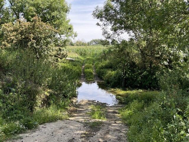
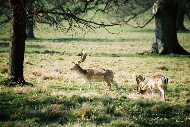
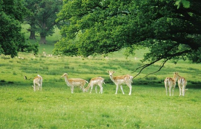
The area is a haven for wildlife enthusiasts, as it is home to a variety of creatures. Visitors may spot deer, foxes, badgers, and a wide range of bird species, including woodpeckers and owls. Nature lovers can explore the forest through a network of well-maintained walking trails, which meander through the trees and offer stunning views of the surrounding countryside.
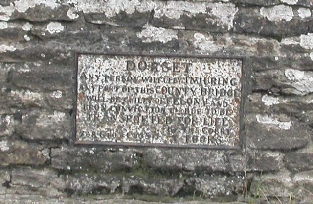
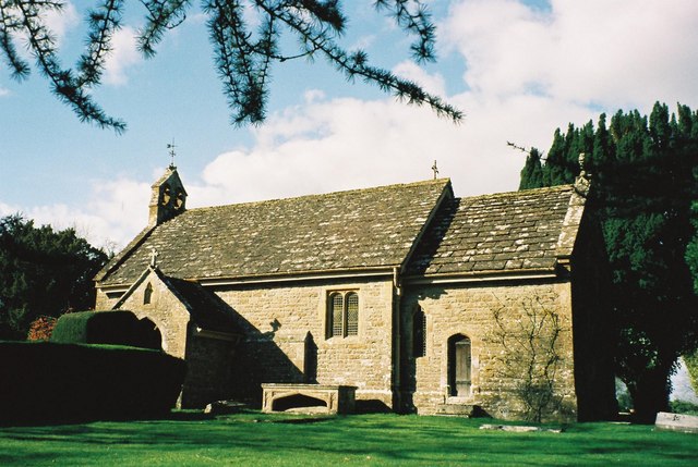
Bishop's Belt also holds historical significance, with remnants of an ancient Roman road passing through the woodland. The area's rich history can be further explored through the various archaeological sites and ruins scattered throughout the forest.
For those seeking an escape from the urban environment, Bishop's Belt is a perfect destination. Its natural beauty, diverse wildlife, and historical charm make it an ideal spot for hiking, nature photography, and simply soaking in the tranquility of the surrounding woods.
If you have any feedback on the listing, please let us know in the comments section below.
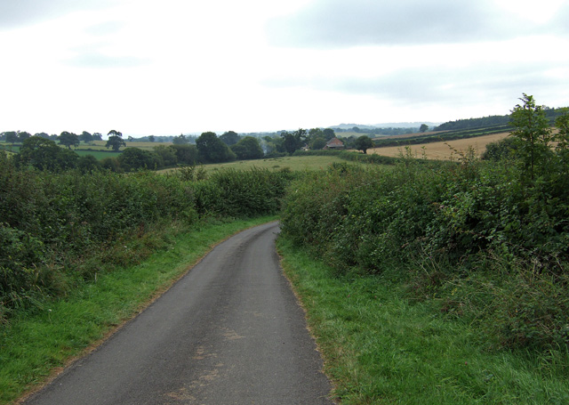
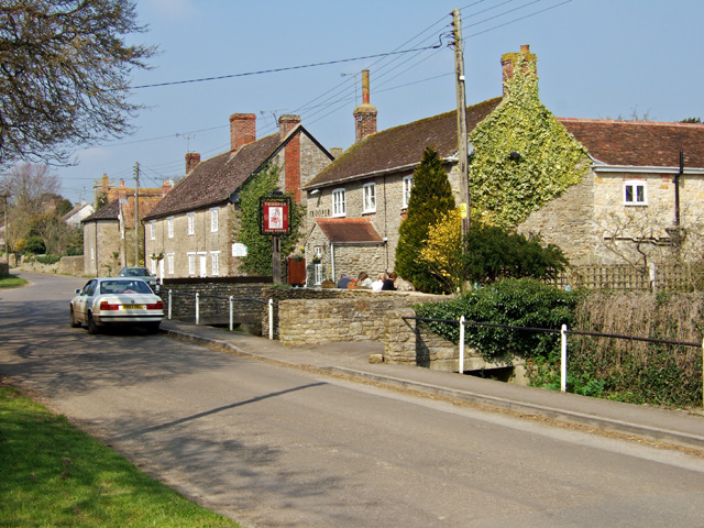
Bishop's Belt Images
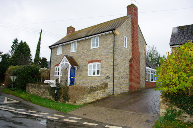
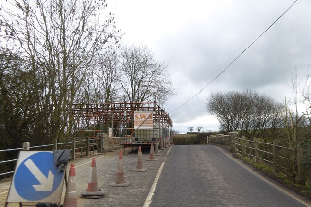
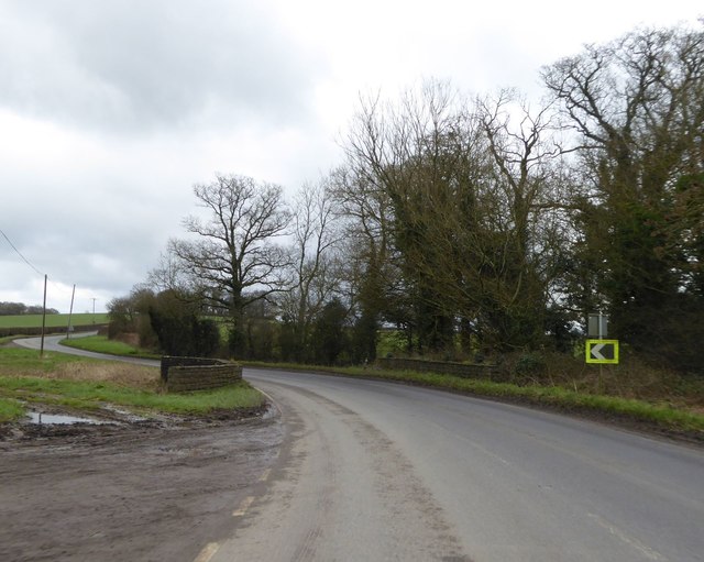
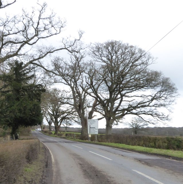
Images are sourced within 2km of 50.913338/-2.4004769 or Grid Reference ST7112. Thanks to Geograph Open Source API. All images are credited.

Bishop's Belt is located at Grid Ref: ST7112 (Lat: 50.913338, Lng: -2.4004769)
Unitary Authority: Dorset
Police Authority: Dorset
What 3 Words
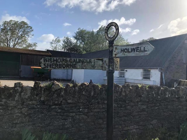
///inserted.revisits.enter. Near Stalbridge, Dorset
Nearby Locations
Related Wikis

Woodbridge, Dorset
Woodbridge is a hamlet in Dorset, England. The village is on the A3030 road and to the north east of Holwell. == History == Woodbridge was part of the...

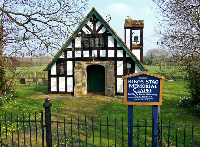
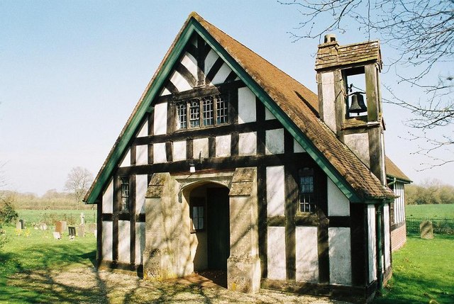
King's Stag Memorial Chapel
King's Stag Memorial Chapel is a Church of England chapel in King's Stag, Dorset, England. == History == The memorial chapel at King's Stag was built in...
Stourton Caundle
Stourton Caundle is a village and civil parish in the county of Dorset in southwest England. It lies within the Blackmore Vale, about five miles (eight...

Lydlinch
Lydlinch is a village and civil parish in the Blackmore Vale in north Dorset, England, about three miles (five kilometres) west of Sturminster Newton....
Nearby Amenities
Located within 500m of 50.913338,-2.4004769Have you been to Bishop's Belt?
Leave your review of Bishop's Belt below (or comments, questions and feedback).