Woodbridge

Settlement in Wiltshire

England

Woodbridge

Ship Inn, Upavon
Ship Inn, Upavon Credit: Richard Webb

Woodbridge is a charming village located in the county of Wiltshire, England. Situated near the River Avon, it forms part of the larger civil parish of Boscombe. With a population of around 500 residents, Woodbridge is known for its picturesque landscapes, traditional architecture, and rich historical heritage.

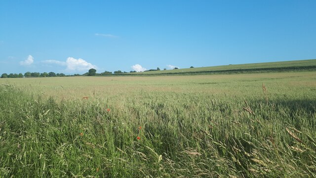
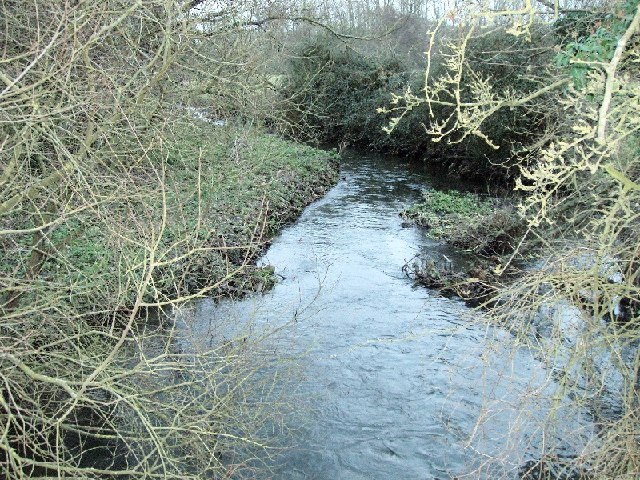
The village is surrounded by lush green countryside, offering stunning views and ample opportunities for outdoor activities such as hiking, cycling, and fishing. The River Avon, which runs through the village, adds to its natural beauty and provides a tranquil setting for nature enthusiasts.

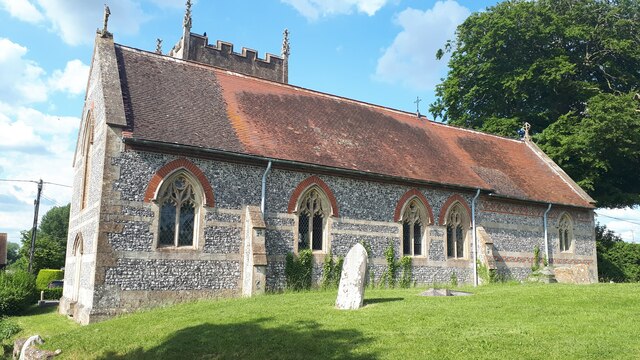
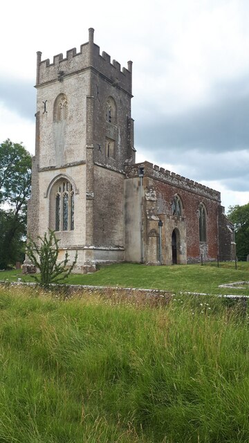
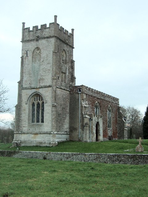
Woodbridge boasts a range of architectural styles, with buildings dating back to the 17th and 18th centuries. The village church, St. Andrew's, is a prominent landmark, known for its beautiful stained glass windows and intricate stonework.

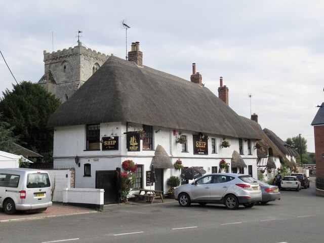
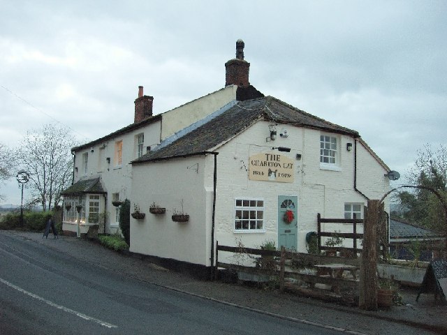
Despite its small size, Woodbridge has a strong sense of community, with various local events and activities throughout the year. The village pub, The Swan Inn, serves as a social hub where residents and visitors can gather for a pint and a hearty meal.

Woodbridge is conveniently located near several larger towns, including Salisbury and Amesbury, offering easy access to amenities such as shopping centers, schools, and healthcare facilities.

Overall, Woodbridge, Wiltshire, embodies the quintessential English village charm, with its idyllic setting, historic architecture, and close-knit community. It is a place where residents can enjoy a peaceful and picturesque lifestyle while still having access to modern conveniences.

If you have any feedback on the listing, please let us know in the comments section below.
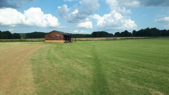
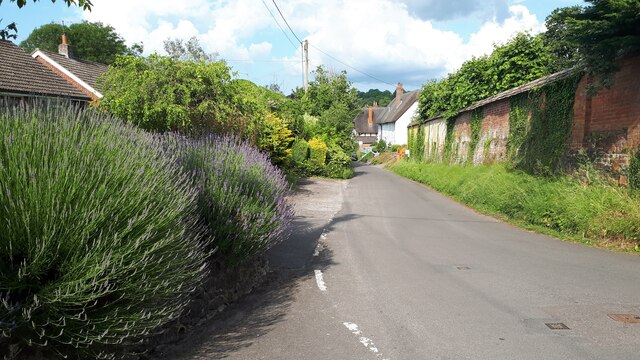
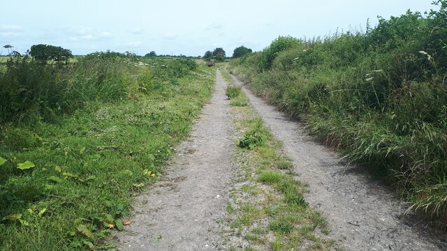
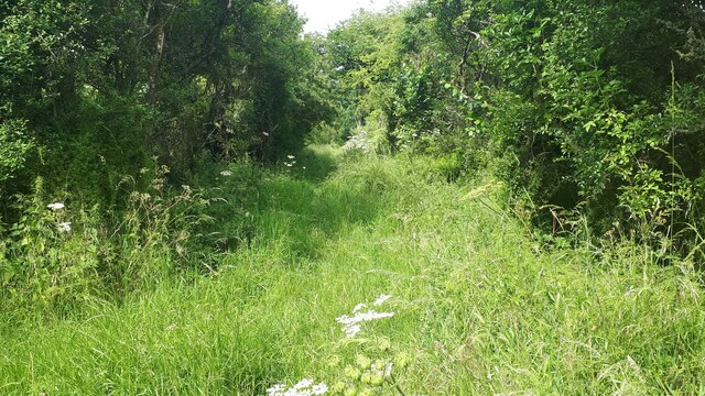
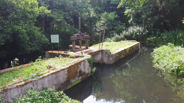
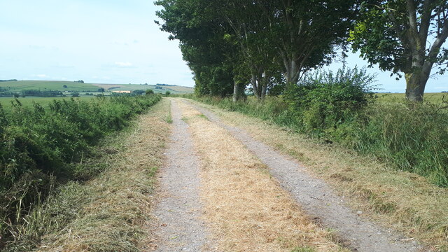
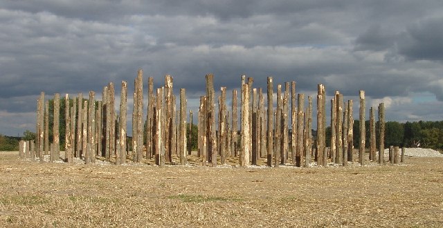
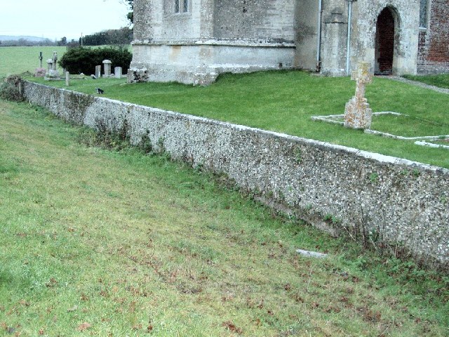
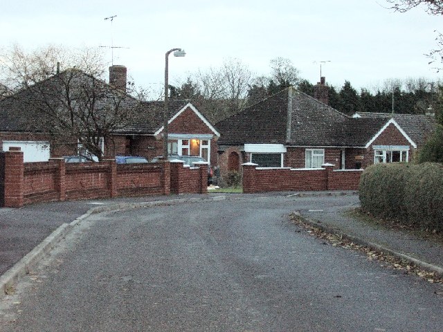
Woodbridge Images

Images are sourced within 2km of 51.310715/-1.8136142 or Grid Reference SU1356. Thanks to Geograph Open Source API. All images are credited.

Ship Inn, Upavon
Ship Inn, Upavon
High Street, Upavon
High Street, Upavon
St Peter's Church, Charlton St Peter
Farmland south of Charlton St Peter This view is crossed by the Devizes Road, marked by the line of hedge.
Farmland south of Charlton St Peter
This view is crossed by the Devizes Road, marked by the line of hedge.
St Matthew's Church, Rushall Sitting in an isolated location to the east of the village.
St Matthew's Church, Rushall
Sitting in an isolated location to the east of the village.
Footpath past cricket pavilion at Rushall
Jarvis Street, Upavon
Avon bridges at Upavon The footway has its own bridge over the River Avon, separate from the A342.
Avon bridges at Upavon
The footway has its own bridge over the River Avon, separate from the A342.
Bridleway to Hilcott
Overgrown bridleway to Wilsford The route seems passable, but the depth of summer vegetation suggests few come this way.
Overgrown bridleway to Wilsford
The route seems passable, but the depth of summer vegetation suggests few come this way.
Weir behind St James's Church at North Newnton
The White Horse trail west of North Newnton The long distance path follows a bridleway on a farm track with wide views.
The White Horse trail west of North Newnton
The long distance path follows a bridleway on a farm track with wide views.
Woodhenge at North Newnton Recreation of the Woodhenge monument. Built at North Newnton for the TV programme, Timeteam
Woodhenge at North Newnton
Recreation of the Woodhenge monument. Built at North Newnton for the TV programme, Timeteam
The River Avon at Woodbridge This is quite near the source of the Hampshire/Dorset Avon
The River Avon at Woodbridge
This is quite near the source of the Hampshire/Dorset Avon
The ha-ha at Rushall Church
Rushall Church
Rushall Church
The Charlton Cat Famous for the annual 'Duck Feast' held there. See <span class="nowrap"><a title="http://en.wikipedia.org/wiki/Charlton,_Pewsey_Vale" rel="nofollow ugc noopener" href="http://en.wikipedia.org/wiki/Charlton,_Pewsey_Vale">Link</a><img style="margin-left:2px;" alt="External link" title="External link - shift click to open in new window" src="https://s1.geograph.org.uk/img/external.png" width="10" height="10"/></span> . Stephen Duck was a locally born poet of modest means who attracted Royal patronage, and had an annual feast endowed in his honour by Lord Palmerston.
The Charlton Cat
Famous for the annual 'Duck Feast' held there. See LinkExternal link . Stephen Duck was a locally born poet of modest means who attracted Royal patronage, and had an annual feast endowed in his honour by Lord Palmerston.
Bungalows at North Newnton
Show me another place!

Woodbridge is located at Grid Ref: SU1356 (Lat: 51.310715, Lng: -1.8136142)

Unitary Authority: Wiltshire

Police Authority: Wiltshire

What 3 Words

///emperor.teamed.slouched. Near Wilsford, Wiltshire

Nearby Locations

Woodbridge

Related Wikis

North Newnton

North Newnton is a civil parish in Wiltshire, England, 2.5 miles (4.0 km) southwest of Pewsey. The parish is in the Vale of Pewsey which carries the upper...

Manningford

Manningford is a civil parish in Wiltshire, England. The parish includes the villages of Manningford Abbots, Manningford Bohune and Manningford Bruce,...

Rushall, Wiltshire

Rushall is a small village and civil parish in Wiltshire, England, 8 miles (13 km) southeast of Devizes and 3⁄4 mile (1.2 km) northwest of Upavon on the...

Charlton St Peter

Charlton St Peter or just Charlton is a small village and civil parish in the Vale of Pewsey in the English county of Wiltshire. The village lies about...

Nearby Amenities

Located within 500m of 51.310715,-1.8136142
Power: tower
Source: Bing
Lat/Long: 51.3122056/-1.8175225
Power: tower
Source: Bing
Lat/Long: 51.3130224/-1.8142571
Power: tower
Source: Bing
Lat/Long: 51.3139476/-1.8107586
Toilets
Woodbridge Camp Site Facility
Access: customers
Note: Uncontrolled access to the washing-up area. Doorway access control to the men's and women's toilet, shower and washing areas.
Lat/Long: 51.3131268/-1.8114889
Woodbridge
Place: hamlet
Lat/Long: 51.3117618/-1.8114086
Post Box
Brand: Royal Mail
Brand Wikidata: Q638098
Collection Times: Mo-Fr 16:15; Sa 08:00
Drive Through: no
Operator: Royal Mail
Operator Wikidata: Q638098
Post Box Type: lamp
Ref: SN9 45
Royal Cypher: EIIR
Royal Cypher Wikidata: Q33102113
Lat/Long: 51.3125484/-1.8113061
Public Bookcase
Defibrillator
Booth: K6
Colour: purple
Covered: booth
Defibrillator Location: inside old red phone box (now painted purple and housing a book exchange) next to the Woodbridge pub
Disused Amenity: telephone
Emergency: defibrillator
Man Made: telephone_box
Public Bookcase Type: phone_box
Lat/Long: 51.3125693/-1.8113403
The data included in this document is from www.openstreetmap.org. The data is made available under ODbL.

Have you been to Woodbridge?

Leave your review of Woodbridge below (or comments, questions and feedback).