West End
Settlement in Yorkshire Richmondshire
England
West End
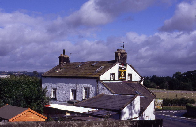
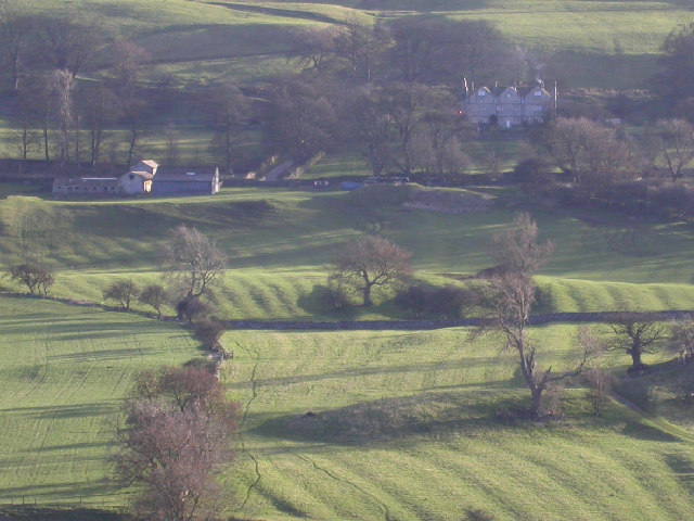
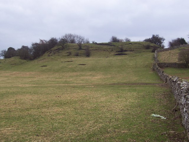
West End is a charming village located in the county of Yorkshire, England. Situated in the southern part of the region, West End is nestled amidst picturesque countryside and rolling hills, offering residents and visitors alike a tranquil and idyllic setting.
The village is known for its traditional architecture, with many well-preserved cottages and buildings dating back centuries. Its quaint streets are lined with beautiful gardens and vibrant floral displays, creating a welcoming and visually appealing atmosphere.
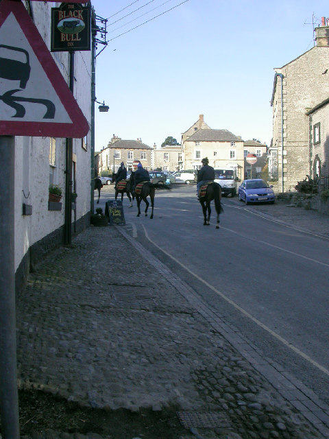
West End is home to a tight-knit community, where locals take pride in their village and work together to maintain its charm and character. The village boasts a range of amenities, including a local pub, a village hall, and a small convenience store, ensuring that residents have all their basic needs met within walking distance.
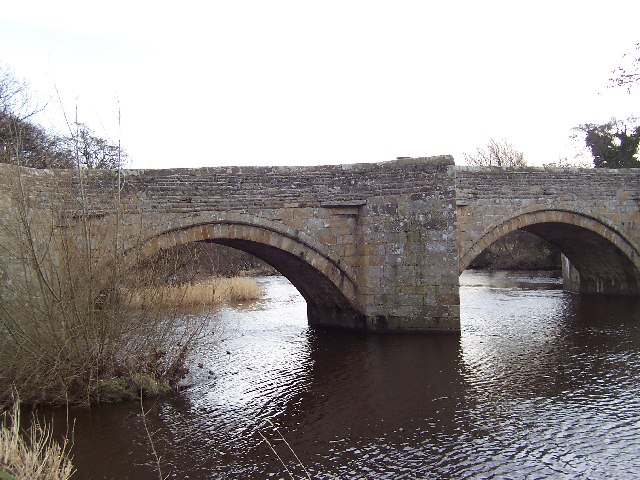
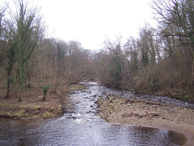
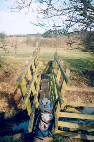
For those seeking outdoor activities, West End is surrounded by stunning natural beauty, including nearby forests and nature reserves. These areas offer opportunities for hiking, cycling, and birdwatching, allowing visitors to fully immerse themselves in the serene countryside.
Despite its tranquil nature, West End benefits from its proximity to larger towns and cities. The village is conveniently located near major transportation routes, making it easily accessible for commuters and tourists alike.
Overall, West End is a delightful village that offers residents and visitors a peaceful escape from the hustle and bustle of city life, while still providing convenient access to modern amenities and nearby attractions.
If you have any feedback on the listing, please let us know in the comments section below.
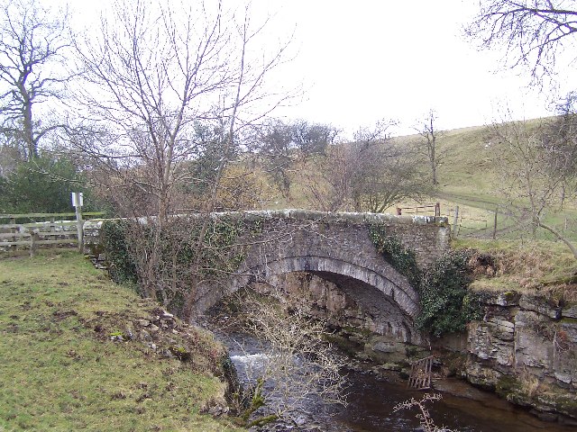
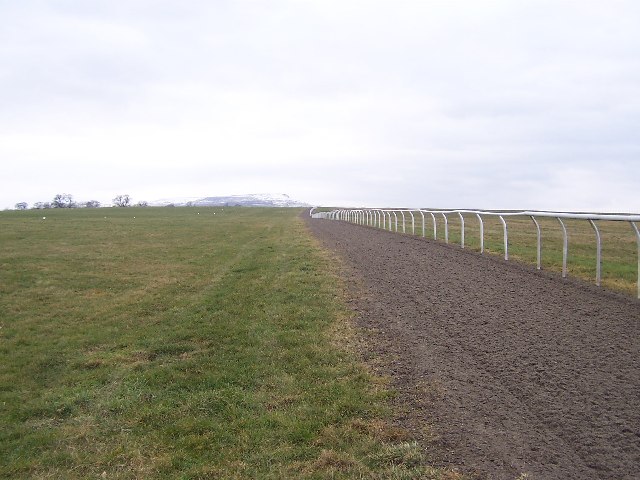
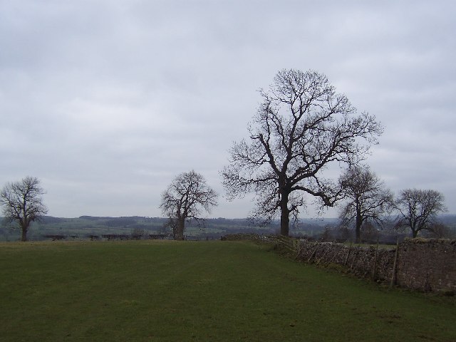
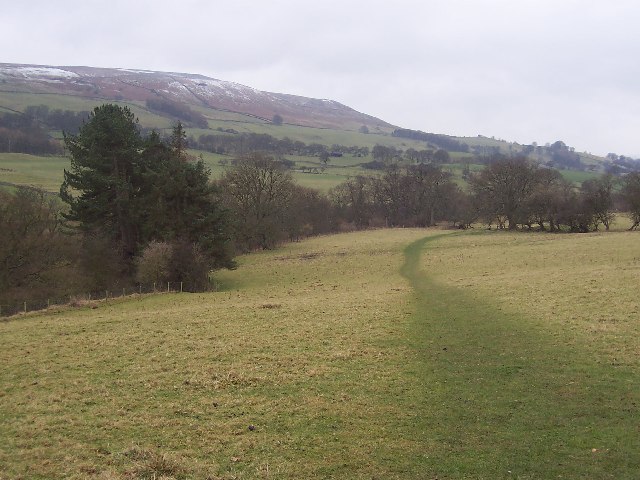
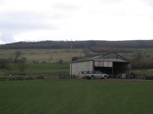
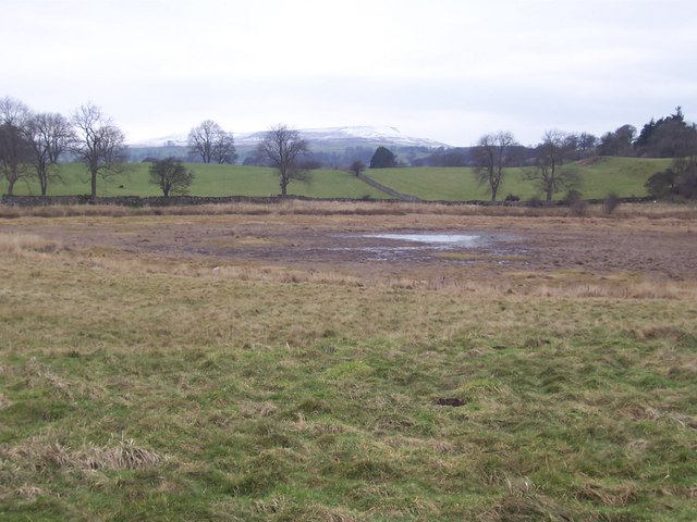
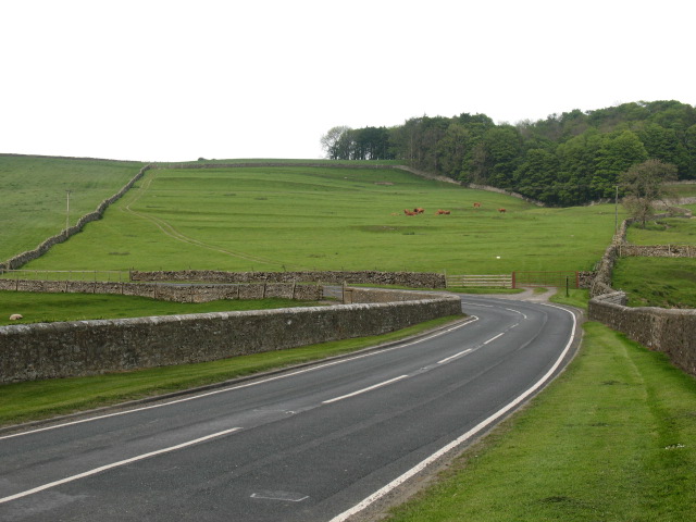
West End Images
Images are sourced within 2km of 54.284224/-1.8081191 or Grid Reference SE1287. Thanks to Geograph Open Source API. All images are credited.
West End is located at Grid Ref: SE1287 (Lat: 54.284224, Lng: -1.8081191)
Division: North Riding
Administrative County: North Yorkshire
District: Richmondshire
Police Authority: North Yorkshire
What 3 Words
///episodes.quitter.utensil. Near Leyburn, North Yorkshire
Nearby Locations
Related Wikis

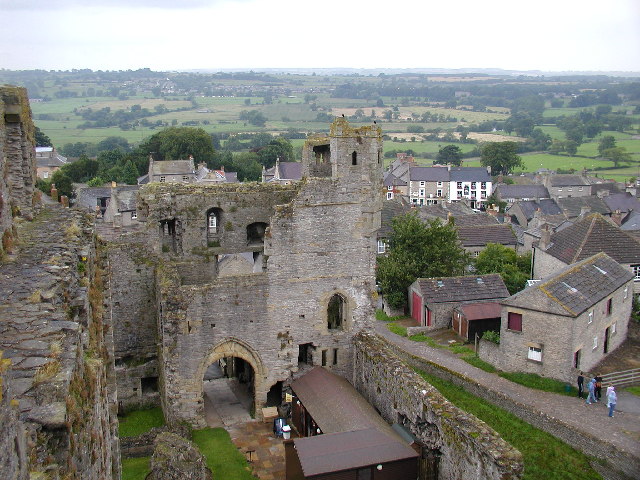
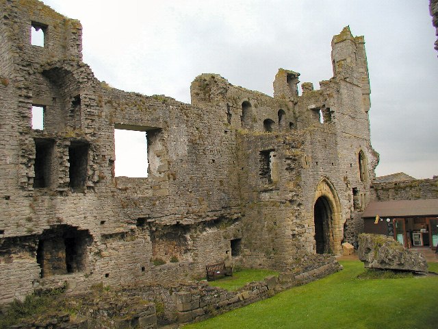
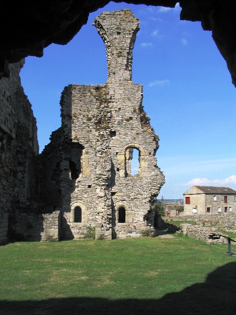
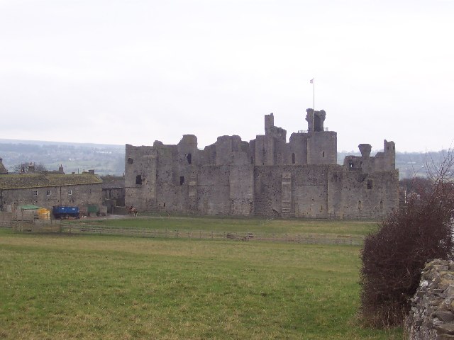
Middleham Castle
Middleham Castle is a ruined castle in Middleham in Wensleydale, in the county of North Yorkshire, England. It was built by Robert Fitzrandolph, 3rd Lord...

Middleham
Middleham is a market town and civil parish in the district and county of North Yorkshire, England. It lies in Wensleydale in the Yorkshire Dales, on...
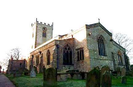
Church of St Mary and St Alkelda, Middleham
The Church of St Mary and St Alkelda is a Church of England parish church in Middleham, Richmondshire, North Yorkshire. The church is a grade I listed...
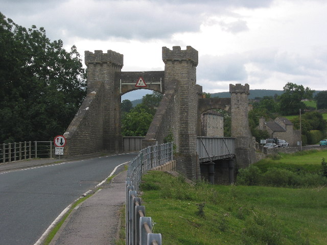
A6108 road
The A6108 road is an A road in North Yorkshire, England. It runs from the south of Scotch Corner to Ripon going via Richmond and Leyburn across the moors...
Related Videos
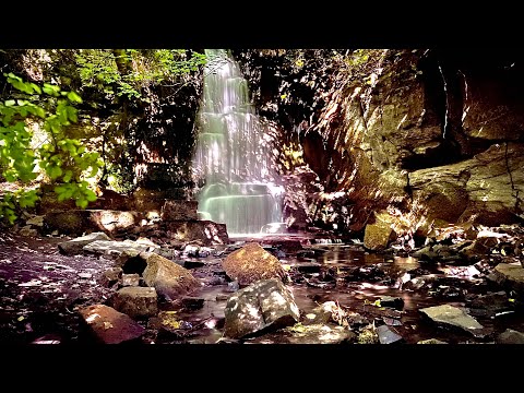
Harmby Waterfall #northyorkshire #england #tourism
waterfall #england #tourism #northyorkshire #nature #vlog #water #soundsofnature #harmbywaterfall.
MIDDLEHAM HOLIDAY 2023 PICTURES
Hello Jamie here and with another video. So just today, me and my dad came back from a mini holiday from Middleham, North ...

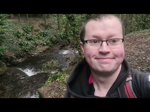
Leyburn to Harmby Waterfalls Walk #Wensleydale #waterfalls #walk #harmbywaterfalls #leyburn #harmby
Hi Welcome to my channel MDT Outdoor Adventures for this video Leyburn to Harmby Waterfalls Walk #Wensleydale#waterfalls ...
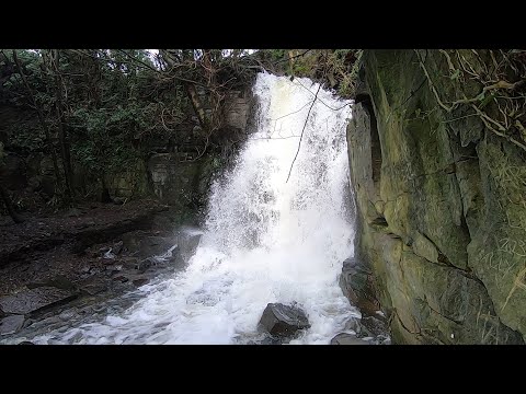
waterfall walk 2024
harmby waterfall leyburn darlington north yorkshire easy walk to the waterfall.
Nearby Amenities
Located within 500m of 54.284224,-1.8081191Have you been to West End?
Leave your review of West End below (or comments, questions and feedback).