Sharp Hill

Hill, Mountain in Yorkshire Richmondshire

England

Sharp Hill

Middleham Castle The view northwards from Middleham Castle, which once belonged to Richard Duke of Gloucester, later King Richard III
Middleham Castle Credit: David Hatch

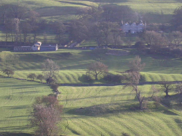
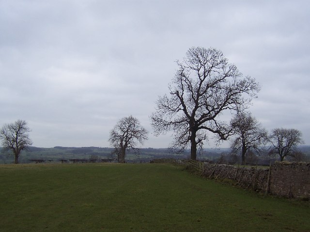
Sharp Hill is a prominent hill located in the county of Yorkshire, England. Standing at an elevation of approximately 320 meters (1,050 feet), it offers breathtaking panoramic views of the surrounding countryside. Situated near the village of Cracoe, Sharp Hill is part of the beautiful Yorkshire Dales National Park.

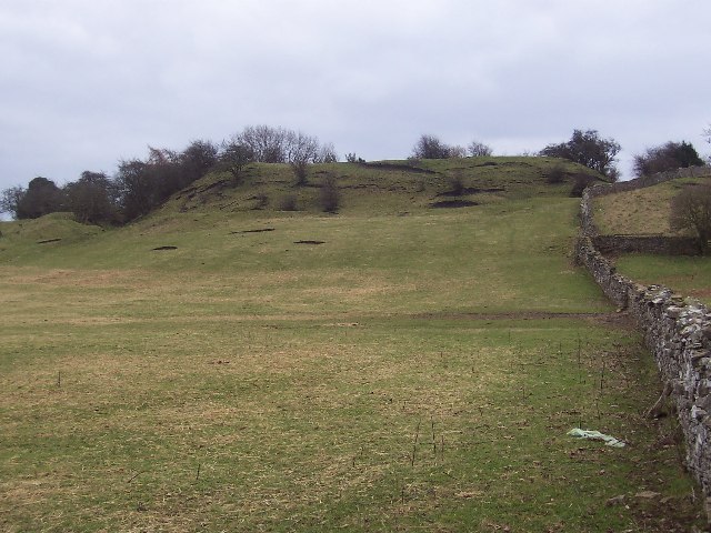
The hill itself is characterized by its steep slopes and rocky terrain, which make it a popular destination for hikers and nature enthusiasts. Its name, "Sharp Hill," is believed to derive from the Old Norse word "skarpa," meaning "steep" or "sharp," accurately reflecting its topography.

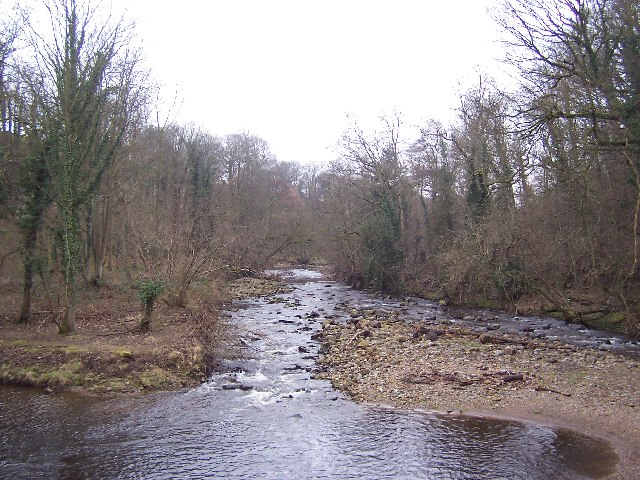
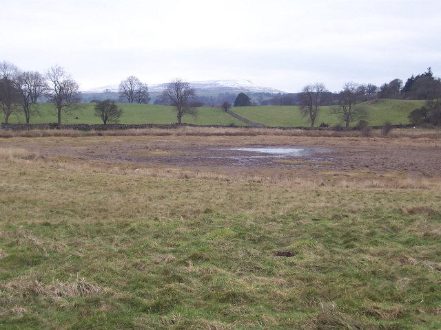
Covered in lush green vegetation, the area surrounding Sharp Hill boasts a diverse range of flora and fauna. Visitors can expect to encounter a variety of wildflowers, grasses, and small shrubs, as well as various species of birds and mammals.

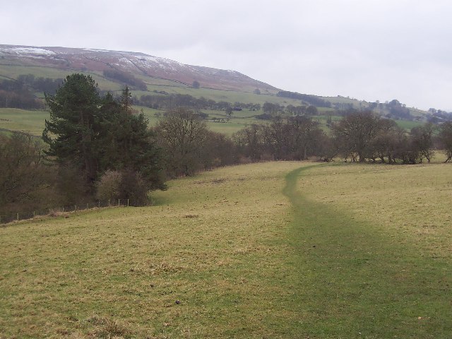
From the summit of Sharp Hill, one can enjoy breathtaking views of the Yorkshire Dales, including rolling hills, valleys, and picturesque villages. On clear days, it is even possible to catch a glimpse of the distant Pennines mountain range to the east.

Access to Sharp Hill is relatively straightforward, with a number of footpaths and trails leading to the summit. However, due to its steep incline, caution is advised when ascending or descending the hill, particularly in wet or icy conditions.

With its stunning natural beauty and captivating vistas, Sharp Hill in Yorkshire is a must-visit destination for anyone seeking an opportunity to immerse themselves in the charm and splendor of the British countryside.

If you have any feedback on the listing, please let us know in the comments section below.
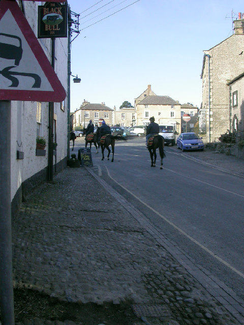
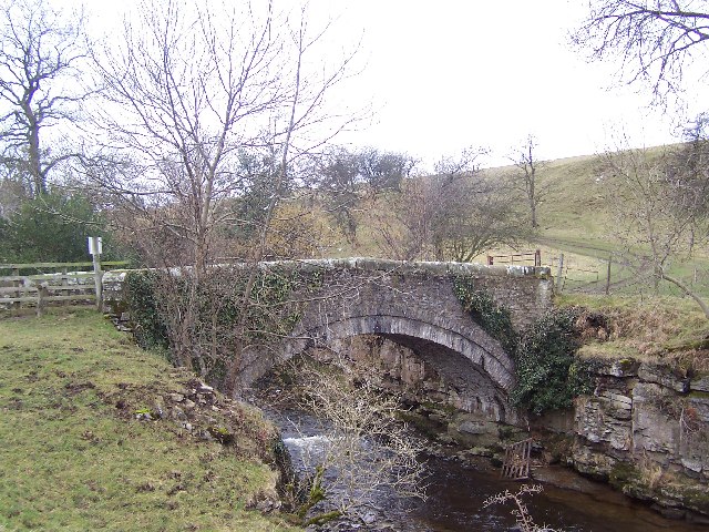
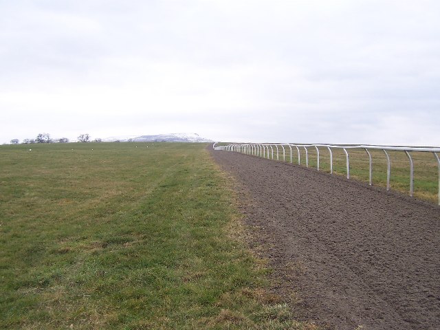
Sharp Hill Images

Images are sourced within 2km of 54.285161/-1.8157489 or Grid Reference SE1287. Thanks to Geograph Open Source API. All images are credited.

Middleham Castle The view northwards from Middleham Castle, which once belonged to Richard Duke of Gloucester, later King Richard III
Middleham Castle
The view northwards from Middleham Castle, which once belonged to Richard Duke of Gloucester, later King Richard III
Middleham Castle Although ruined, substantial sections of the castle still remain
Middleham Castle
Although ruined, substantial sections of the castle still remain
Middleham Bridge
Middleham Bridge
Middleham Castle English Heritage site.
Middleham Castle
English Heritage site.
Off to the gallops in Middleham Middleham is one of the great centres for the training of racehorses in Britain; here the horses are moving off in the early morning to the gallops on Middleham Low Moor.
Off to the gallops in Middleham
Middleham is one of the great centres for the training of racehorses in Britain; here the horses are moving off in the early morning to the gallops on Middleham Low Moor.
Ridge-and-furrow near Braithwaite Hall Medieval ridge-and-furrow is clearly shown in slanting winter sunlight; the 17th century farmhouse of Braithwaite hall is at upper right.
Ridge-and-furrow near Braithwaite Hall
Medieval ridge-and-furrow is clearly shown in slanting winter sunlight; the 17th century farmhouse of Braithwaite hall is at upper right.
Hullo Bridge This charming little structure spans the River Cover about a mile south west of Middleham, and is only suitable for pedestrians and farm vehicles.
Hullo Bridge
This charming little structure spans the River Cover about a mile south west of Middleham, and is only suitable for pedestrians and farm vehicles.
Middleham Low Moor Middleham is famous not only for its connections with Good King Richard III, but also for its training of racehorses.  It is on this huge expanse of common to the west of the town that the stables exercise their charges
Middleham Low Moor
Middleham is famous not only for its connections with Good King Richard III, but also for its training of racehorses. It is on this huge expanse of common to the west of the town that the stables exercise their charges
Fields south east of Middleham Walking through fields between Middleham and the River Cover
Fields south east of Middleham
Walking through fields between Middleham and the River Cover
Path above Cover Banks Walking west above the River Cover, towards Hullo Bridge
Path above Cover Banks
Walking west above the River Cover, towards Hullo Bridge
River Cover This looks upstream in Woods at Cover Scar, about a mile south of Middleham
River Cover
This looks upstream in Woods at Cover Scar, about a mile south of Middleham
Ruined Barn near Coverham I nearly passed this structure without a second thought.  I then noticed that the corrugated iron roof is supported by columns that look like they belong in a church. I presume some crafty farmer in the past took advantage of the ruins of Coverham Abbey as ready made building materials.
Ruined Barn near Coverham
I nearly passed this structure without a second thought. I then noticed that the corrugated iron roof is supported by columns that look like they belong in a church. I presume some crafty farmer in the past took advantage of the ruins of Coverham Abbey as ready made building materials.
William's Hill Ring and Bailey earthworks, and site of the original Middleham Castle about a quarter of a mile south west of the present one
William's Hill
Ring and Bailey earthworks, and site of the original Middleham Castle about a quarter of a mile south west of the present one
Middleham Castle from the South Neville stronghold better known for its connections to Richard III - whose 2 year reign was tragically cut short on Redmire Plain (Bosworth) thus robbing England of one of its finest monarchs.
Middleham Castle from the South
Neville stronghold better known for its connections to Richard III - whose 2 year reign was tragically cut short on Redmire Plain (Bosworth) thus robbing England of one of its finest monarchs.
Footbridge, Red Beck Gill near Middleham. A footbridge constructed by the Yorkshire Dales National Park Authority on the path from Hullo Bridge to East Witton.
Footbridge, Red Beck Gill near Middleham.
A footbridge constructed by the Yorkshire Dales National Park Authority on the path from Hullo Bridge to East Witton.
Pinker's Pond Last time I passed here there was a fine body of water at this place.  Where has the pond disappeared to, now it can hardly be called a puddle
Pinker's Pond
Last time I passed here there was a fine body of water at this place. Where has the pond disappeared to, now it can hardly be called a puddle
Middleham Low Moor
Middleham Low Moor
Spennithorne, The Church of St Michael & All The Angels This Church is on the northern boundary of the O/S grid which it occupies, just to the east of centre.
Spennithorne, The Church of St Michael & All The Angels
This Church is on the northern boundary of the O/S grid which it occupies, just to the east of centre.
Show me another place!

Sharp Hill is located at Grid Ref: SE1287 (Lat: 54.285161, Lng: -1.8157489)

Division: North Riding

Administrative County: North Yorkshire

District: Richmondshire

Police Authority: North Yorkshire

What 3 Words

///universe.coasted.obligated. Near Leyburn, North Yorkshire

Related Wikis

Middleham

Middleham is a market town and civil parish in the district and county of North Yorkshire, England. It lies in Wensleydale in the Yorkshire Dales, on...

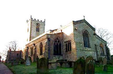
Church of St Mary and St Alkelda, Middleham

The Church of St Mary and St Alkelda is a Church of England parish church in Middleham, Richmondshire, North Yorkshire. The church is a grade I listed...
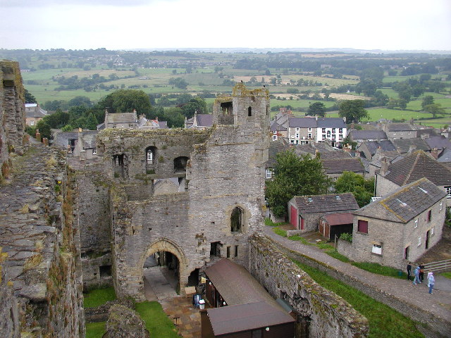
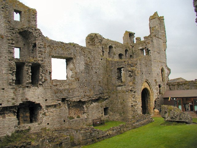
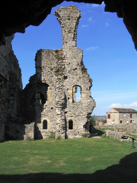
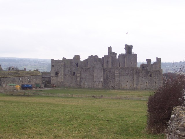
Middleham Castle

Middleham Castle is a ruined castle in Middleham in Wensleydale, in the county of North Yorkshire, England. It was built by Robert Fitzrandolph, 3rd Lord...
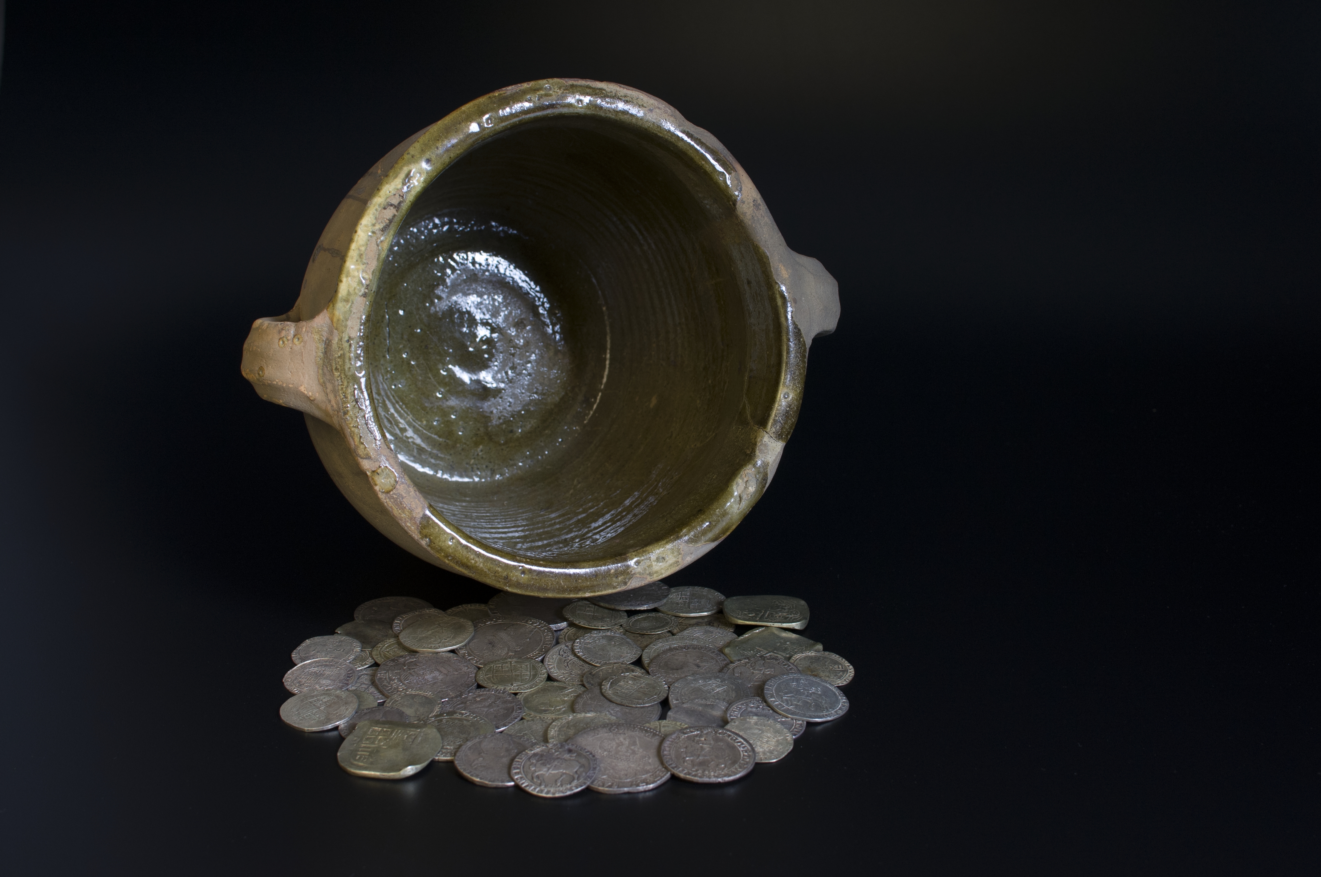
Middleham Hoard

The Middleham Hoard is a coin hoard found near Middleham, North Yorkshire in England. It dates from the period of the English Civil War, and consists of...

Related Videos

LEYBURN | Gateway town to the Yorkshire Dales

LEYBURN is a gateway town to the Yorkshire Dales National Park. Located between Richmond and Ripon, Leyburn is is ...

Middleham | A MUST SEE Yorkshire Dales Gem!

Middleham | A Must See Yorkshire Dales Gem. Middleham is a town in Wensleydale in the Yorkshire Dales, famous for ...

MIDDLEHAM CASTLE– War of the Roses, King Richard III, the King in the car park

Join the Go Visit Castle crew as they travel to Yorkshire on the trail of King Richard III, and begin to unravel the mysteries of the ...

MIDDLEHAM HOLIDAY 2023 PICTURES

Hello Jamie here and with another video. So just today, me and my dad came back from a mini holiday from Middleham, North ...

Nearby Amenities

Located within 500m of 54.285161,-1.8157489
Post Box
Lat/Long: 54.2849541/-1.8096275
Barrier: stile
Lat/Long: 54.2824112/-1.8105278
Barrier: stile
Image: https://www.geograph.org.uk/photo/2611053
Lat/Long: 54.2821492/-1.8134617
Power: pole
Lat/Long: 54.2829037/-1.8132859
Power: pole
Lat/Long: 54.2820214/-1.813878
Power: pole
Lat/Long: 54.2810333/-1.8145345
Power: pole
Lat/Long: 54.2847936/-1.8104388
Power: pole
Lat/Long: 54.284291/-1.8115519
Power: pole
Lat/Long: 54.2838424/-1.8126006
Bench
Backrest: yes
Lat/Long: 54.2821418/-1.8135748
Power: pole
Lat/Long: 54.2870988/-1.8110033
Power: pole
Lat/Long: 54.2876368/-1.8104877
Power: pole
Lat/Long: 54.288176/-1.8100269
The data included in this document is from www.openstreetmap.org. The data is made available under ODbL.

Have you been to Sharp Hill?

Leave your review of Sharp Hill below (or comments, questions and feedback).