William's Hill
Heritage Site in Yorkshire Richmondshire
England
William's Hill
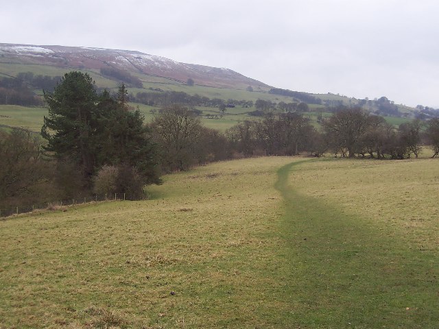
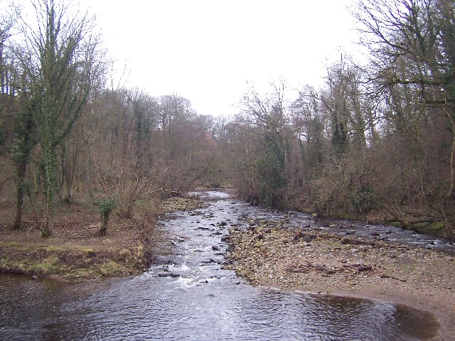
William's Hill is a prominent heritage site located in the Yorkshire region of England. Situated in the heart of the picturesque countryside, the hill offers breathtaking views of the surrounding landscape, making it a popular destination for nature enthusiasts and hikers.
The hill is named after William, a local historical figure, whose exact identity remains a mystery. It is believed that William was a prominent landowner or a warrior who once occupied the area. This enigmatic history adds to the intrigue and allure of the site.
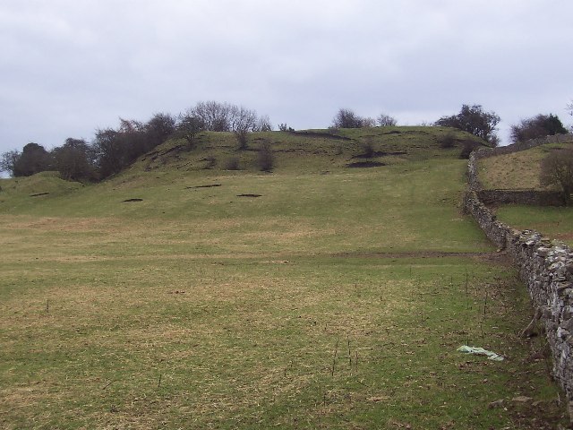
At the summit of the hill, visitors can find the remnants of an ancient fort, believed to date back to the Iron Age. The fort consists of a series of earthworks and defensive ditches, providing evidence of human settlement and strategic importance in the past. Archaeological excavations have revealed artifacts such as pottery fragments and tools, shedding light on the daily lives of the people who once inhabited the fort.
Aside from its historical significance, William's Hill is also renowned for its diverse flora and fauna. The hill is home to a variety of plant species, including rare wildflowers, providing a vibrant and colorful display during the blooming season. It also serves as a sanctuary for numerous bird species, making it a haven for birdwatchers.
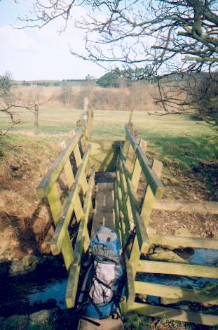
In addition to its natural and historical charm, William's Hill offers well-maintained walking trails and picnic areas, allowing visitors to explore the site at their own pace and enjoy a tranquil day out in the countryside. Whether one is interested in history, nature, or simply seeking some peace and quiet, William's Hill is a must-visit destination in Yorkshire.
If you have any feedback on the listing, please let us know in the comments section below.
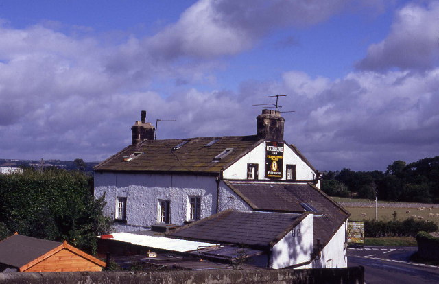
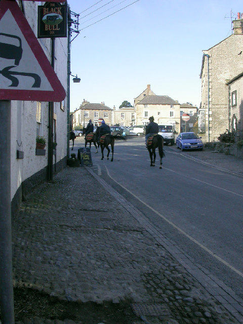
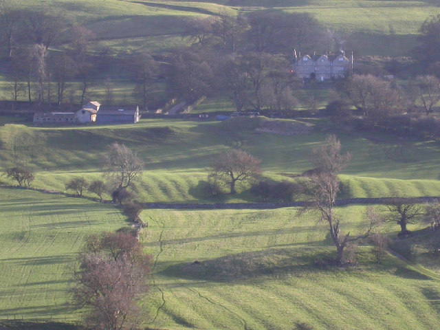
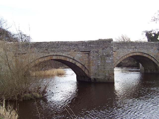
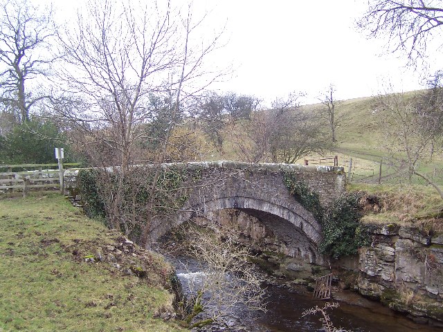
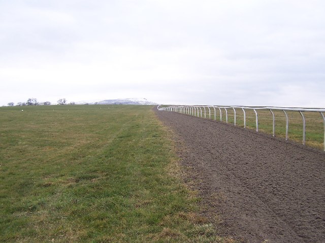
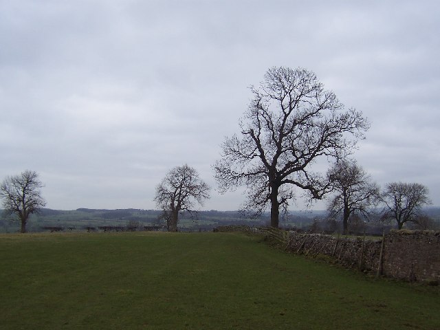
William's Hill Images
Images are sourced within 2km of 54.280973/-1.8097469 or Grid Reference SE1287. Thanks to Geograph Open Source API. All images are credited.


William's Hill is located at Grid Ref: SE1287 (Lat: 54.280973, Lng: -1.8097469)
Division: North Riding
Administrative County: North Yorkshire
District: Richmondshire
Police Authority: North Yorkshire
What 3 Words
///thrones.take.stiletto. Near Leyburn, North Yorkshire
Nearby Locations
Related Wikis

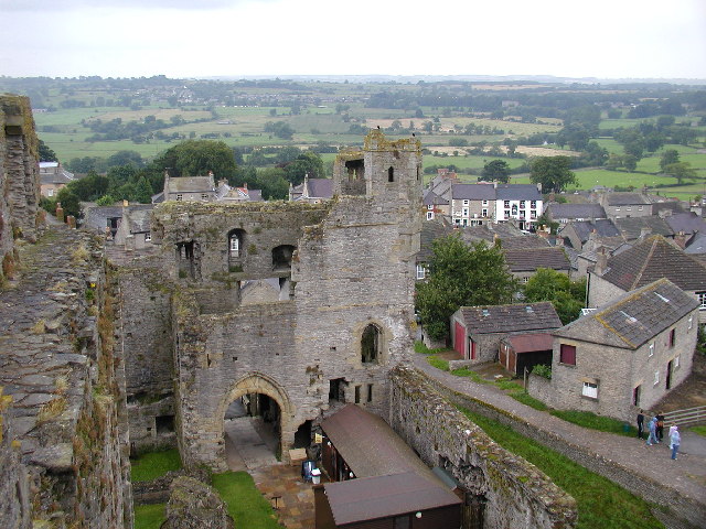
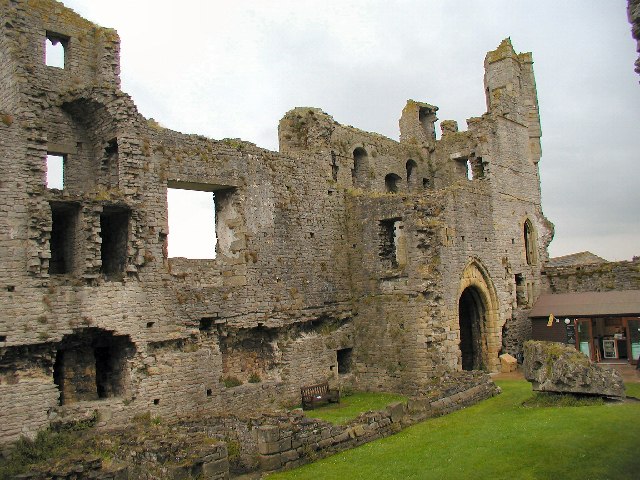
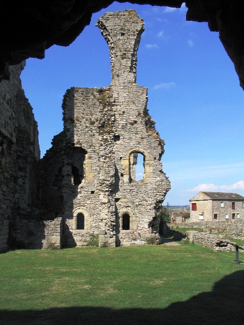
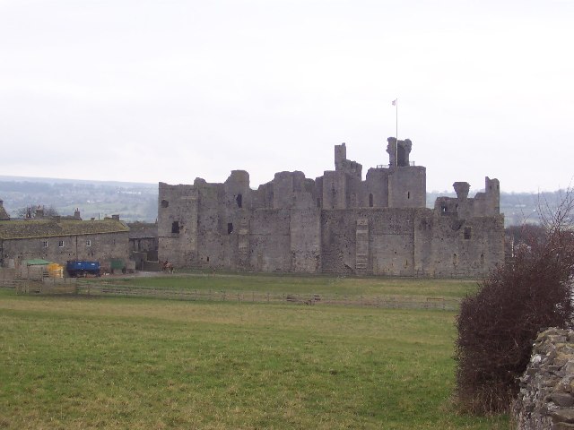
Middleham Castle
Middleham Castle is a ruined castle in Middleham in Wensleydale, in the county of North Yorkshire, England. It was built by Robert Fitzrandolph, 3rd Lord...

Middleham
Middleham is a market town and civil parish in the district and county of North Yorkshire, England. It lies in Wensleydale in the Yorkshire Dales, on...
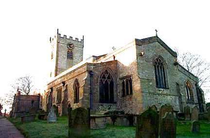
Church of St Mary and St Alkelda, Middleham
The Church of St Mary and St Alkelda is a Church of England parish church in Middleham, Richmondshire, North Yorkshire. The church is a grade I listed...
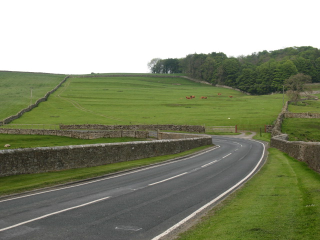
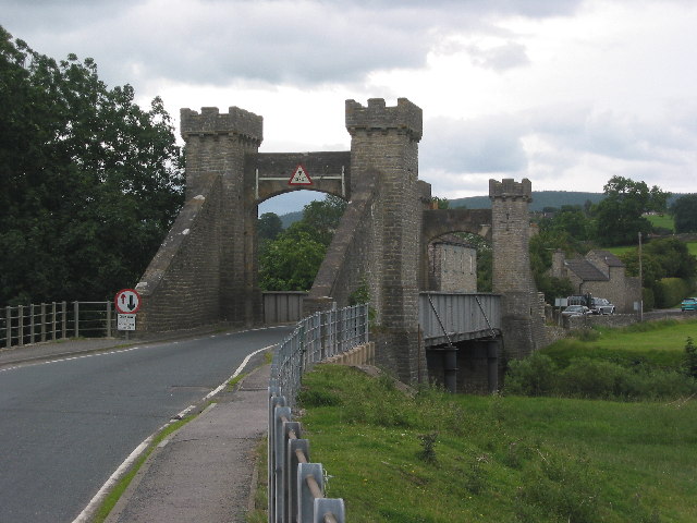
A6108 road
The A6108 road is an A road in North Yorkshire, England. It runs from the south of Scotch Corner to Ripon going via Richmond and Leyburn across the moors...
Nearby Amenities
Located within 500m of 54.280973,-1.8097469Have you been to William's Hill?
Leave your review of William's Hill below (or comments, questions and feedback).