Wellington Marsh

Settlement in Herefordshire

England

Wellington Marsh

A49 near Moreton-on-Lugg, looking north
A49 near Moreton-on-Lugg, looking north Credit: Rob Purvis

Wellington Marsh is a small village located in the county of Herefordshire, England. Situated in the West Midlands region, it is nestled amidst the picturesque countryside, offering a tranquil and idyllic setting for its residents and visitors alike.

With a population of around 500 people, Wellington Marsh exudes a sense of community and a close-knit atmosphere. The village is characterized by its charming traditional cottages and historic buildings, showcasing the rich architectural heritage of the area. The local church, St. Mary's, stands as a prominent landmark, dating back to the 12th century and serving as a testament to the village's long-standing history.

Nature enthusiasts are drawn to Wellington Marsh due to its proximity to the River Wye. The river flows gently through the village, providing ample opportunities for fishing, boating, and leisurely walks along its banks. The verdant meadows and rolling hills surrounding the village offer stunning vistas and make for delightful hiking trails.

Despite its rural location, Wellington Marsh benefits from good transport links, with regular bus services connecting it to nearby towns and cities. This allows residents to enjoy the tranquility of village life while still having access to essential amenities and services.

In terms of amenities, the village boasts a local pub, The Wellington Arms, where locals and visitors can gather to enjoy a meal or a drink in a cozy and welcoming environment. The village also has a primary school, ensuring that families have convenient access to education for their children.

Overall, Wellington Marsh is a charming and serene village that offers a peaceful retreat from the hustle and bustle of modern life. Its natural beauty and strong sense of community make it an attractive destination for those seeking a slower-paced, countryside lifestyle.

If you have any feedback on the listing, please let us know in the comments section below.

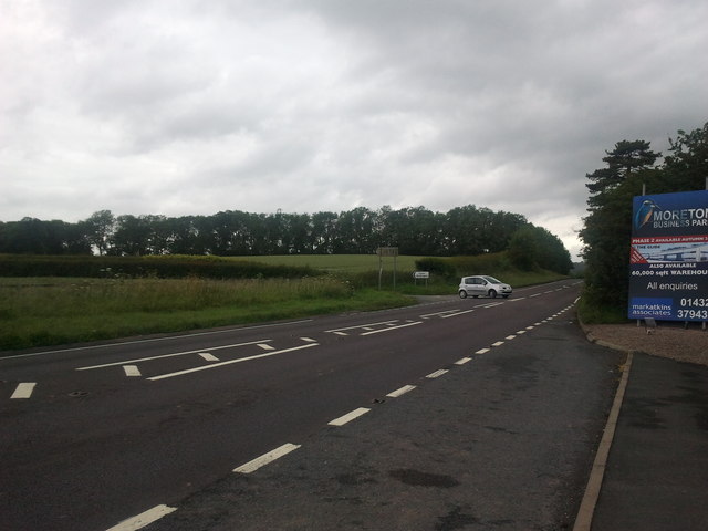
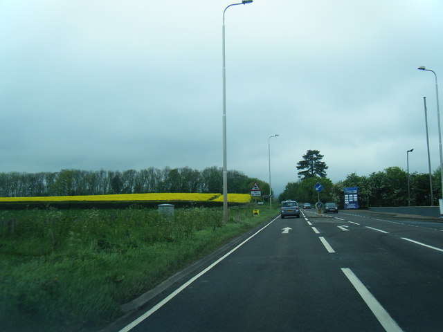
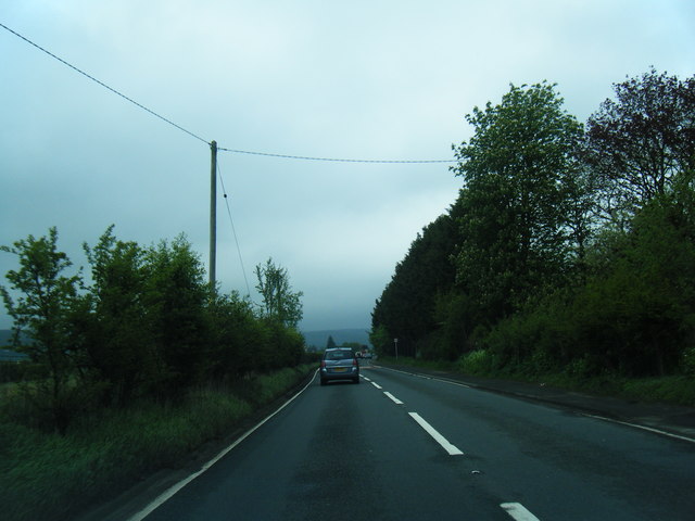
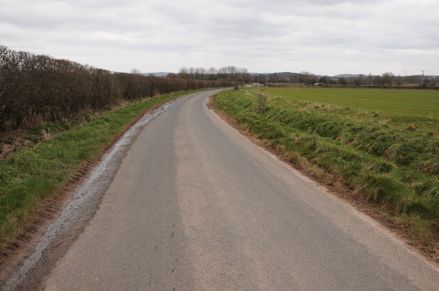
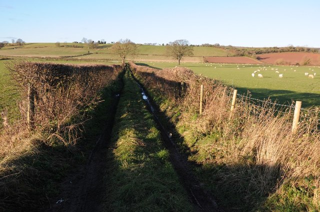
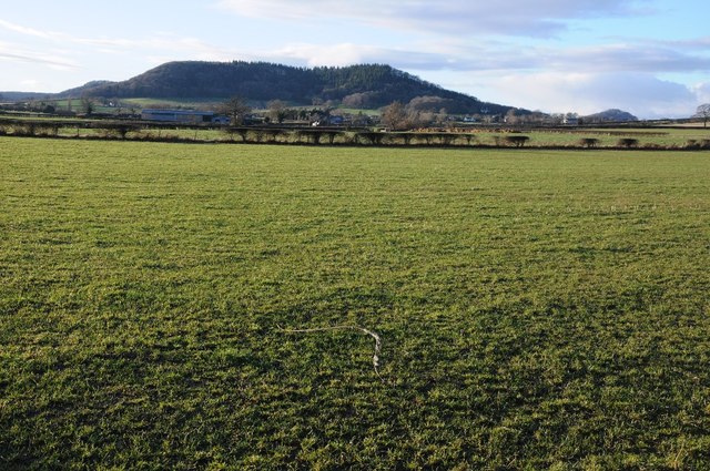
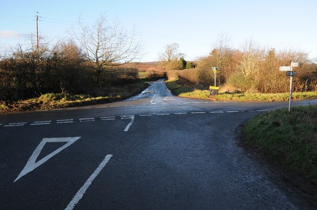
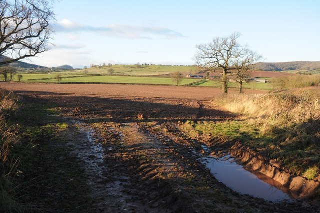
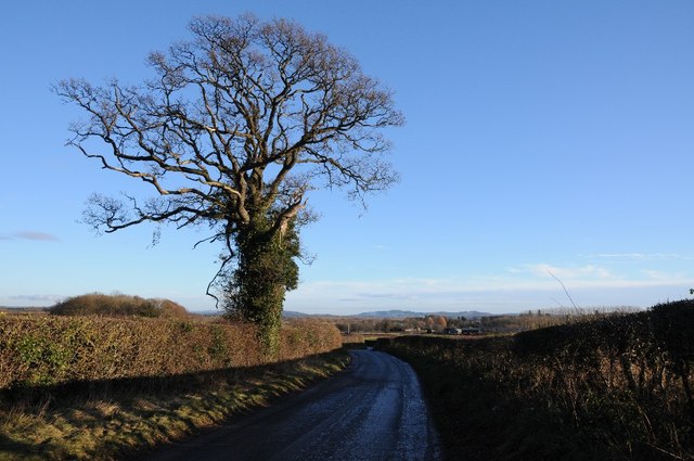
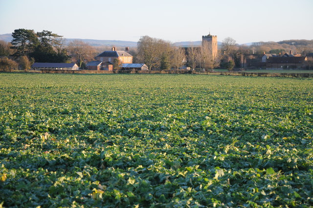
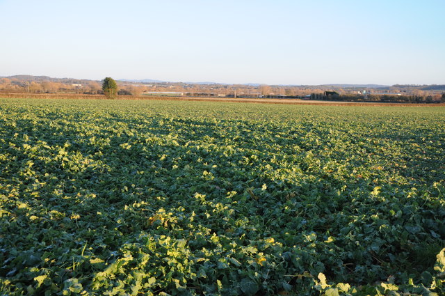
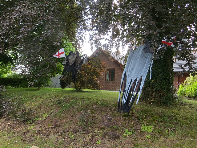
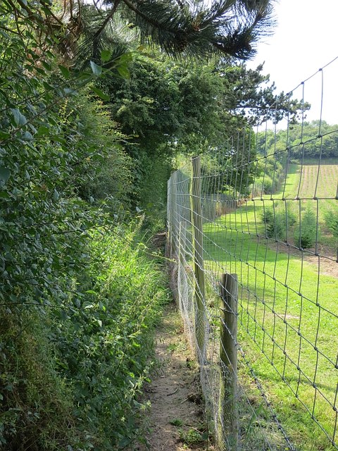
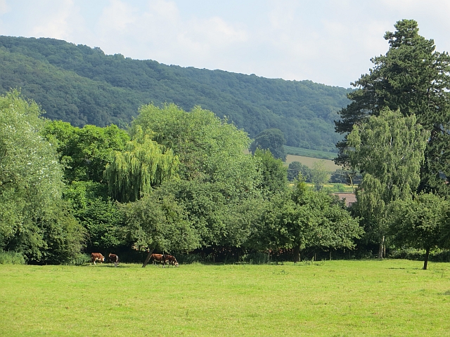
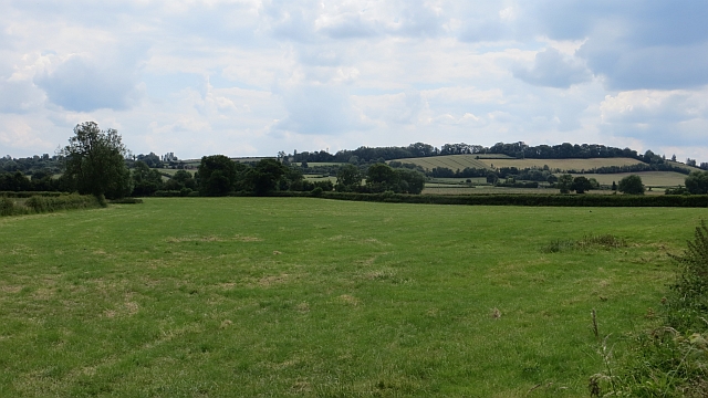
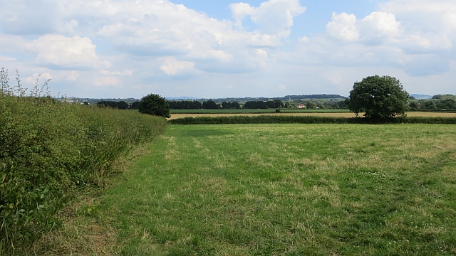
Wellington Marsh Images

Images are sourced within 2km of 52.121616/-2.7328739 or Grid Reference SO4947. Thanks to Geograph Open Source API. All images are credited.

A49 near Moreton-on-Lugg, looking north
A49 at Moreton Business Park
A49 at Wellington Marsh
Country road near Wellington Country road near Wellington to the west of the A49.
Country road near Wellington
Country road near Wellington to the west of the A49.
Farmland track Track giving access to farmland below Adzor Bank near Wellington.
Farmland track
Track giving access to farmland below Adzor Bank near Wellington.
Nupton Hill viewed from the east View across farmland to Nupton Hill from the east.
Nupton Hill viewed from the east
View across farmland to Nupton Hill from the east.
Crossroads at Auberrow Crossroads at Auberrow to the south of Wellington.
Crossroads at Auberrow
Crossroads at Auberrow to the south of Wellington.
Arable field above Wellington Marsh View across an arable field and farm land beyond to the west of the Wellington.
Arable field above Wellington Marsh
View across an arable field and farm land beyond to the west of the Wellington.
Road to the south of Auberrow Oak tree beside a country road to the south of Auberrow and the village of Wellington.
Road to the south of Auberrow
Oak tree beside a country road to the south of Auberrow and the village of Wellington.
View to Wellington View to the village of Wellington from the north.
View to Wellington
View to the village of Wellington from the north.
Arable land at Wellington
Ford, Wellington Near the church.
Ford, Wellington
Near the church.
Wellington's World Cup Scarecrows These seem to be passing fair comment on the national team's performance in 2014. NB. At least England got there!
To be fair I think minds may have been on the destruction of the local professional side which was taking place at the time.  This display is all too appropriate.
Wellington's World Cup Scarecrows
These seem to be passing fair comment on the national team's performance in 2014. NB. At least England got there! To be fair I think minds may have been on the destruction of the local professional side which was taking place at the time. This display is all too appropriate.
Seriously constrained footpath Narrow enough to constitute obstruction. Here the fence is anti deer not walker, it protects a crop of Christmas trees.
Seriously constrained footpath
Narrow enough to constitute obstruction. Here the fence is anti deer not walker, it protects a crop of Christmas trees.
Wellington's World Cup Scarecrows "Come on lads, see if we can be first on the plane"
"At least we wern't bitten" 

One of several exhibits making the best out of an early exit by the England team.
Wellington's World Cup Scarecrows
"Come on lads, see if we can be first on the plane" "At least we wern't bitten" One of several exhibits making the best out of an early exit by the England team.
Herefords in an orchard The standard Herefordshire scene in Wellington.
Herefords in an orchard
The standard Herefordshire scene in Wellington.
After the silage cut A field south of Wellington, regrowing after a grass crop was taken sometime during June.
After the silage cut
A field south of Wellington, regrowing after a grass crop was taken sometime during June.
Fields south of Wellington Flat landscape across to the Lugg and Marden church.
Fields south of Wellington
Flat landscape across to the Lugg and Marden church.
Show me another place!

Wellington Marsh is located at Grid Ref: SO4947 (Lat: 52.121616, Lng: -2.7328739)

Unitary Authority: County of Herefordshire

Police Authority: West Merica

What 3 Words

///breached.loosens.husband. Near Wellington, Herefordshire

Related Wikis

Wellington F.C. (Herefords)

Wellington Football Club are a football club based in the village of Wellington, Herefordshire, England. The club is affiliated to the Herefordshire County...

Wellington, Herefordshire

Wellington, a village in Herefordshire, England at grid reference SO494481 had a population of 1005 in the 2011 census .The village is sheltered by the...

Moreton on Lugg

Moreton on Lugg is a village and civil parish in Herefordshire, England. The city and county town of Hereford is approximately 3 miles (5 km) to the south...

Moreton-on-Lugg railway station

Moreton-on-Lugg railway station was a station in Moreton-on-Lugg, Herefordshire, England. The station was opened in 1853, closed to passengers in 1958...

Marden, Herefordshire

Marden is a village and civil parish in the English county of Herefordshire. Marden village is approximately 7 miles (11 km) due north of the city of Hereford...

Sutton Walls Hill Fort

Sutton Walls Hillfort is an elongated ovoid Iron Age Hill fort located 4 miles (6 km) north of the city of Hereford, England. It was added to the Sites...

Upper Lyde

Upper Lyde is a small village in Herefordshire, England, around 4 miles (6 km) north of Hereford city centre. It forms part of the Pipe and Lyde civil...

Sutton Camera

Sutton Camera was a priory in Herefordshire, England at grid reference SO52654582. == References ==

Nearby Amenities

Located within 500m of 52.121616,-2.7328739
Bus Stop
Wellington Marsh
Local Ref: NK
Naptan AtcoCode: 2090A19806
Naptan Bearing: N
Naptan CommonName: Wellington Marsh
Naptan Indicator: NK
Naptan Landmark: o/s Shandon (name of house)
Naptan NaptanCode: heramjwm
Naptan Street: A49
Naptan Verified: no
Source: naptan_import
Lat/Long: 52.120481/-2.732162
Bus Stop
Wellington Marsh
Bench: no
Bin: no
Lit: no
Local Ref: NK
Naptan AtcoCode: 2090A19808
Naptan Bearing: S
Naptan CommonName: Wellington Marsh
Naptan Indicator: NK
Naptan Landmark: opp Greenacres (Name of House)
Naptan NaptanCode: heramjwp
Naptan Street: A49
Naptan Verified: no
Shelter: no
Source: naptan_import
Tactile Paving: no
Lat/Long: 52.1202753/-2.7319833
Wellington Marsh
Place: hamlet
Lat/Long: 52.1213094/-2.7328091
Generator Method: photovoltaic
Generator Output Electricity: yes
Generator Source: solar
Generator Type: solar_photovoltaic_panel
Location: roof
Power: generator
Lat/Long: 52.1185592/-2.7318272
Generator Method: photovoltaic
Generator Output Electricity: yes
Generator Source: solar
Generator Type: solar_photovoltaic_panel
Location: roof
Power: generator
Lat/Long: 52.1216225/-2.7338094
Generator Method: photovoltaic
Generator Output Electricity: yes
Generator Source: solar
Generator Type: solar_photovoltaic_panel
Location: roof
Power: generator
Lat/Long: 52.1209291/-2.7335385
Generator Method: photovoltaic
Generator Output Electricity: yes
Generator Source: solar
Generator Type: solar_photovoltaic_panel
Location: roof
Power: generator
Lat/Long: 52.1209012/-2.7329859
The data included in this document is from www.openstreetmap.org. The data is made available under ODbL.

Have you been to Wellington Marsh?

Leave your review of Wellington Marsh below (or comments, questions and feedback).