Upper Wellington

Settlement in Herefordshire

England

Upper Wellington

A49 near Moreton-on-Lugg, looking north
A49 near Moreton-on-Lugg, looking north Credit: Rob Purvis

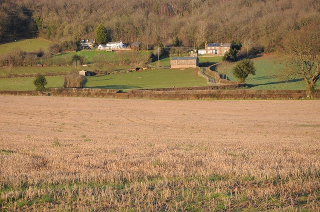
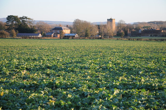
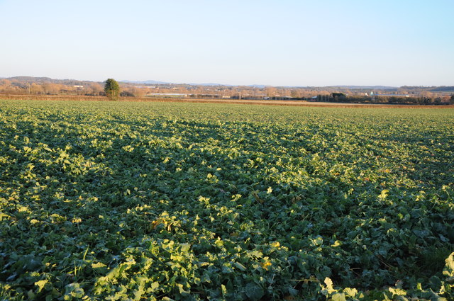
Upper Wellington is a small rural village located in the county of Herefordshire, England. Situated in the West Midlands region, it lies approximately 10 miles northwest of the city of Hereford and is surrounded by picturesque countryside. The village is part of the civil parish of Wellington.

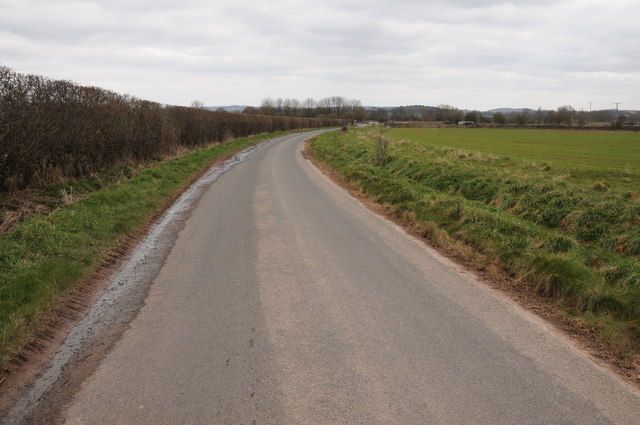
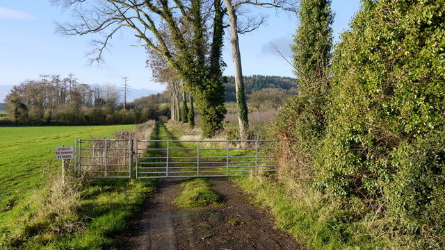
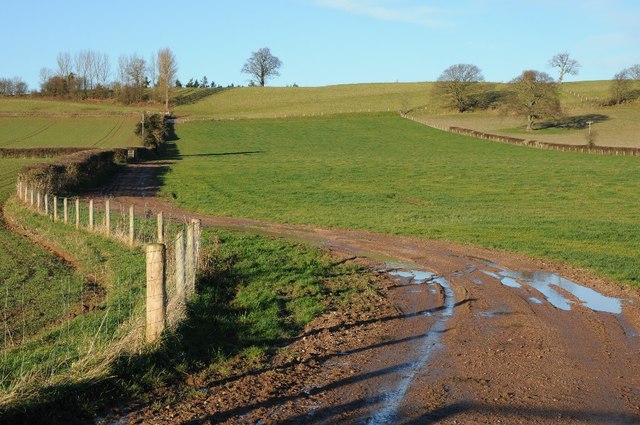
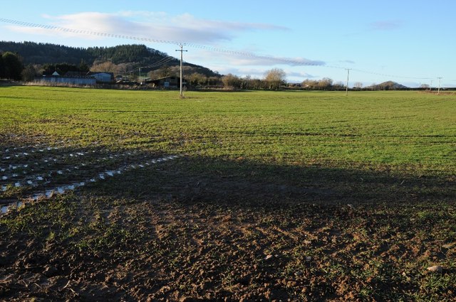
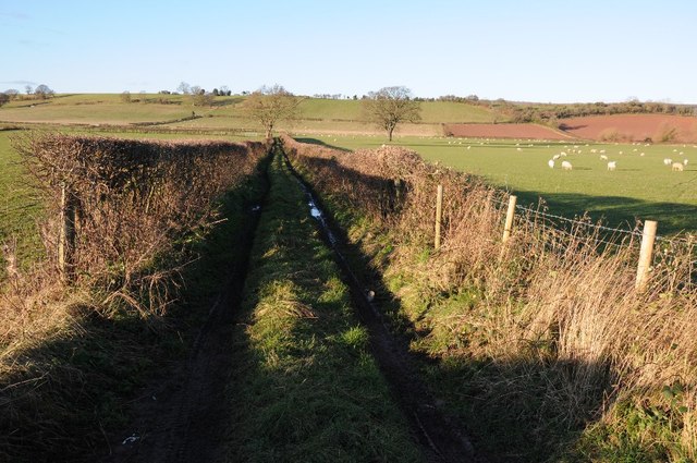
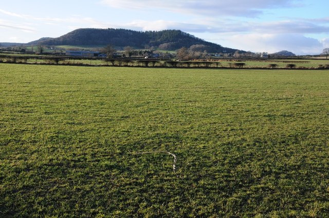
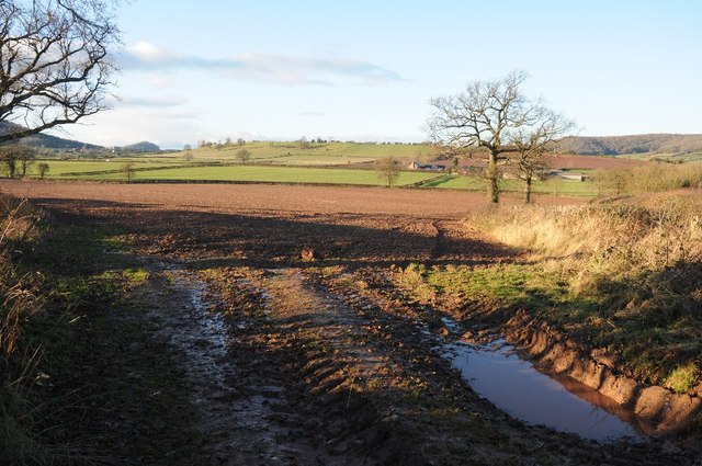
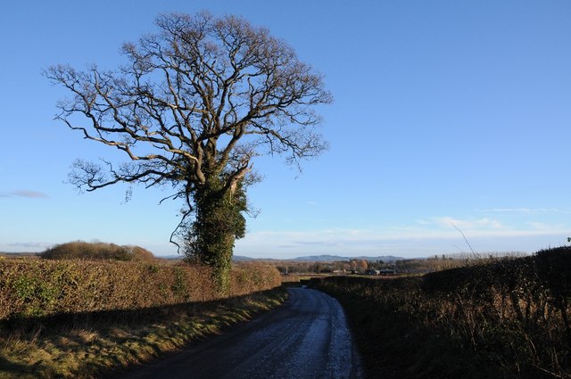
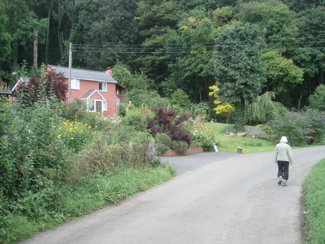
Known for its tranquility and natural beauty, Upper Wellington is characterized by rolling hills, lush green fields, and quaint farmhouses. The landscape is dotted with charming country lanes, providing easy access to the nearby towns and villages. The village itself is home to a close-knit community, with a population of around 200 residents.

Upper Wellington offers limited amenities, with a small village hall serving as a community center for local events and activities. The nearest shops and services can be found in the neighboring villages or in Hereford city. However, the lack of facilities is compensated by the area's stunning natural surroundings, making it an ideal location for those seeking peace and quiet.

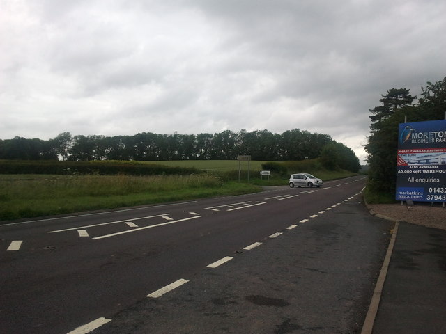
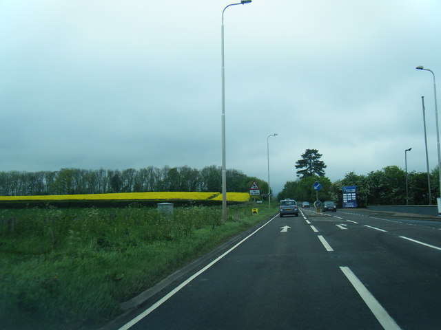
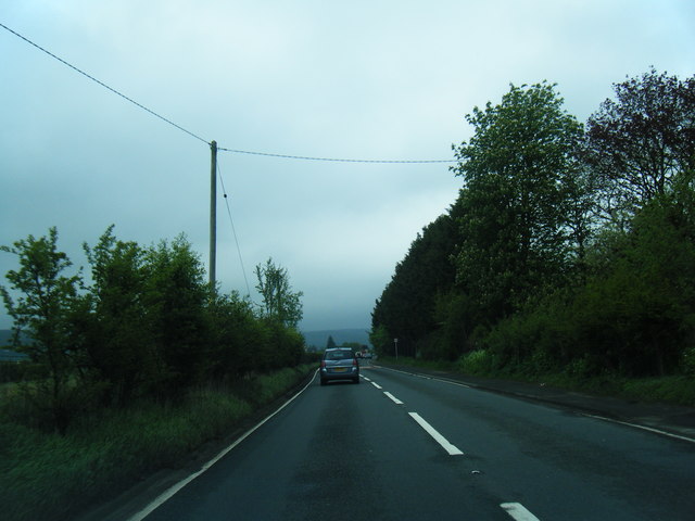
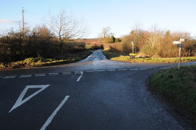
The village is well-connected to the surrounding areas by a network of roads, with the A438 passing nearby, providing easy access to Hereford and other major towns. Public transportation options are limited, with infrequent bus services connecting the village to nearby settlements.

Upper Wellington is also known for its agricultural heritage, with farming playing a significant role in the local economy. The fertile farmland in the region supports a variety of crops and livestock, contributing to the village's rural charm.

Overall, Upper Wellington offers a serene countryside setting, making it an attractive place for those looking to escape the hustle and bustle of city life and embrace a more relaxed pace in a picturesque rural environment.

If you have any feedback on the listing, please let us know in the comments section below.

Upper Wellington Images

Images are sourced within 2km of 52.126283/-2.7456298 or Grid Reference SO4947. Thanks to Geograph Open Source API. All images are credited.

A49 near Moreton-on-Lugg, looking north
A49 at Moreton Business Park
A49 at Wellington Marsh
Country road near Wellington Country road near Wellington to the west of the A49.
Country road near Wellington
Country road near Wellington to the west of the A49.
Cider orchard Viewed from the bridleway just west of the A4110 at The Parks.
Cider orchard
Viewed from the bridleway just west of the A4110 at The Parks.
Bridleway west to Badnage This is the eastern end of the bridleway at <a href="https://www.geograph.org.uk/photo/3789576">SO4646 : Farm road and bridleway</a>.
Bridleway west to Badnage
This is the eastern end of the bridleway at SO4646 : Farm road and bridleway.
Adzor Bank Adzor Bank viewed from the south; a trig point can be seen on the skyline.
Adzor Bank
Adzor Bank viewed from the south; a trig point can be seen on the skyline.
Arable land beside The Parks Arable land beside The Parks near Wellington.  Part of Nupton Hill can be seen in the background.
Arable land beside The Parks
Arable land beside The Parks near Wellington. Part of Nupton Hill can be seen in the background.
Farmland track Track giving access to farmland below Adzor Bank near Wellington.
Farmland track
Track giving access to farmland below Adzor Bank near Wellington.
Nupton Hill viewed from the east View across farmland to Nupton Hill from the east.
Nupton Hill viewed from the east
View across farmland to Nupton Hill from the east.
Crossroads at Auberrow Crossroads at Auberrow to the south of Wellington.
Crossroads at Auberrow
Crossroads at Auberrow to the south of Wellington.
Arable field above Wellington Marsh View across an arable field and farm land beyond to the west of the Wellington.
Arable field above Wellington Marsh
View across an arable field and farm land beyond to the west of the Wellington.
Road to the south of Auberrow Oak tree beside a country road to the south of Auberrow and the village of Wellington.
Road to the south of Auberrow
Oak tree beside a country road to the south of Auberrow and the village of Wellington.
Houses below Wellington Wood
View to Wellington View to the village of Wellington from the north.
View to Wellington
View to the village of Wellington from the north.
Arable land at Wellington
Ford, Wellington Near the church.
Ford, Wellington
Near the church.
Wellington's World Cup Scarecrows These seem to be passing fair comment on the national team's performance in 2014. NB. At least England got there!
To be fair I think minds may have been on the destruction of the local professional side which was taking place at the time.  This display is all too appropriate.
Wellington's World Cup Scarecrows
These seem to be passing fair comment on the national team's performance in 2014. NB. At least England got there! To be fair I think minds may have been on the destruction of the local professional side which was taking place at the time. This display is all too appropriate.
Show me another place!

Upper Wellington is located at Grid Ref: SO4947 (Lat: 52.126283, Lng: -2.7456298)

Unitary Authority: County of Herefordshire

Police Authority: West Merica

What 3 Words

///starting.digested.pools. Near Wellington, Herefordshire

Related Wikis

Wellington, Herefordshire

Wellington, a village in Herefordshire, England at grid reference SO494481 had a population of 1005 in the 2011 census .The village is sheltered by the...

Wellington F.C. (Herefords)

Wellington Football Club are a football club based in the village of Wellington, Herefordshire, England. The club is affiliated to the Herefordshire County...

Moreton on Lugg

Moreton on Lugg is a village and civil parish in Herefordshire, England. The city and county town of Hereford is approximately 3 miles (5 km) to the south...

Dinmore Manor

Dinmore Manor House is a large rural house in a well-wooded, hilly part of Herefordshire in the least populous parish of the county, Dinmore. It was substantially...

Dinmore, Herefordshire

Dinmore is a geographically small civil parish in Herefordshire, England. The parish had an estimated population in mid-2010 of 7, the smallest in the...

Moreton-on-Lugg railway station

Moreton-on-Lugg railway station was a station in Moreton-on-Lugg, Herefordshire, England. The station was opened in 1853, closed to passengers in 1958...
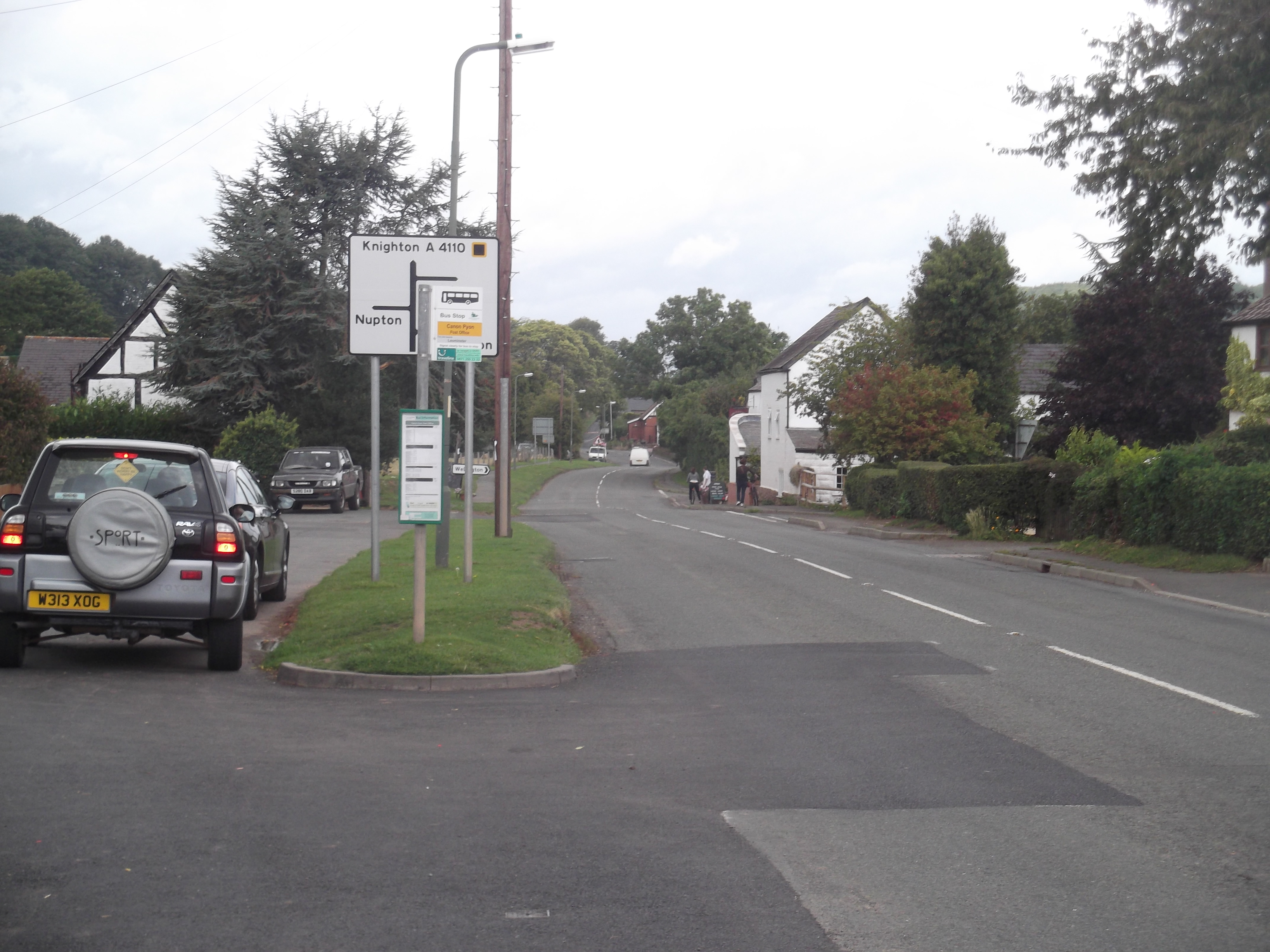
Canon Pyon

Canon Pyon is a village and civil parish on the A4110 road in Herefordshire, England. The population of the parish at the 2011 Census was 542. The civil...

Marden, Herefordshire

Marden is a village and civil parish in the English county of Herefordshire. Marden village is approximately 7 miles (11 km) due north of the city of Hereford...

Nearby Amenities

Located within 500m of 52.126283,-2.7456298
Bus Stop
Wellington Village
Naptan AtcoCode: 2090A18361
Naptan Bearing: W
Naptan BusStopType: CUS
Naptan CommonName: Wellington Village
Naptan Indicator: adj The Wellington Inn
Naptan Landmark: The Wellington Inn
Naptan NaptanCode: heragpgd
Naptan Street: Wellington village road
Naptan Verified: no
Source: naptan_import
Lat/Long: 52.1295593/-2.7412077
Bus Stop
Wellington Village
Naptan AtcoCode: 2090A18363
Naptan Bearing: E
Naptan BusStopType: CUS
Naptan CommonName: Wellington Village
Naptan Indicator: opp The Wellington Inn
Naptan Landmark: The Wellington Inn
Naptan NaptanCode: heragpgj
Naptan Street: Wellington village road
Naptan Verified: no
Source: naptan_import
Lat/Long: 52.1296571/-2.7413846
Turning Circle
Lat/Long: 52.1286279/-2.740849
Turning Circle
Lat/Long: 52.1286613/-2.7425083
Auberrow
Place: hamlet
Lat/Long: 52.1225874/-2.7422021
Generator Method: photovoltaic
Generator Output Electricity: yes
Generator Source: solar
Generator Type: solar_photovoltaic_panel
Location: roof
Power: generator
Lat/Long: 52.1238308/-2.7422744
Generator Method: photovoltaic
Generator Output Electricity: yes
Generator Source: solar
Generator Type: solar_photovoltaic_panel
Location: roof
Power: generator
Lat/Long: 52.1286803/-2.7434546
Generator Method: photovoltaic
Generator Output Electricity: yes
Generator Source: solar
Generator Type: solar_photovoltaic_panel
Location: roof
Power: generator
Lat/Long: 52.1285486/-2.7422047
Generator Method: photovoltaic
Generator Output Electricity: yes
Generator Source: solar
Generator Type: solar_photovoltaic_panel
Location: roof
Power: generator
Lat/Long: 52.1268591/-2.7459893
Generator Method: photovoltaic
Generator Output Electricity: yes
Generator Source: solar
Generator Type: solar_photovoltaic_panel
Location: roof
Power: generator
Lat/Long: 52.1267719/-2.7466115
Generator Method: photovoltaic
Generator Output Electricity: yes
Generator Source: solar
Generator Type: solar_photovoltaic_panel
Location: roof
Power: generator
Lat/Long: 52.1269942/-2.7470514
Generator Method: photovoltaic
Generator Output Electricity: yes
Generator Source: solar
Generator Type: solar_photovoltaic_panel
Location: roof
Power: generator
Lat/Long: 52.1297308/-2.7467483
Generator Method: photovoltaic
Generator Output Electricity: yes
Generator Source: solar
Generator Type: solar_photovoltaic_panel
Location: roof
Power: generator
Lat/Long: 52.1295118/-2.7410781
Generator Method: photovoltaic
Generator Output Electricity: yes
Generator Source: solar
Generator Type: solar_photovoltaic_panel
Location: roof
Power: generator
Lat/Long: 52.1272181/-2.747604
Barrier: stile
Source: Bing
Lat/Long: 52.1254148/-2.7403676
Barrier: stile
Lat/Long: 52.1281452/-2.7488701
Post Box
Post Box Type: pillar
Lat/Long: 52.1294444/-2.7426745
Defibrillator
Access: permissive
Defibrillator Location: Inside Shop.
Emergency: defibrillator
Indoor: yes
Ref GB The Circuit: 1EE08E18-357E-47C6-9B7F-AA8C00D54FC1
Lat/Long: 52.129452/-2.7440123
The data included in this document is from www.openstreetmap.org. The data is made available under ODbL.

Have you been to Upper Wellington?

Leave your review of Upper Wellington below (or comments, questions and feedback).