Upper Westwood

Settlement in Wiltshire

England

Upper Westwood

Bridge over the River Frome at Freshford
Bridge over the River Frome at Freshford Credit: Anthony Parkes

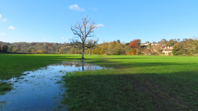
Upper Westwood is a small village located in the county of Wiltshire, England. Situated on the western edge of the picturesque Westwood Plateau, it is part of the larger civil parish of Westwood and served by the nearby town of Bradford-on-Avon, which is approximately 2 miles to the east. The village is nestled amidst rolling green hills and enjoys stunning views of the surrounding countryside.

Upper Westwood is characterized by its quaint rural charm and historic architecture. The village features a mix of traditional stone cottages, farmhouses, and more modern dwellings. The centerpiece of the village is the St. Mary's Church, a beautiful medieval church dating back to the 14th century. The church's tall spire can be seen from various points in the village and adds to the area's visual appeal.

The village is relatively small in size and has a close-knit community. It offers limited amenities, including a village hall and a small primary school. However, residents have easy access to a wider range of services and facilities in nearby Bradford-on-Avon, including shops, supermarkets, healthcare facilities, and educational institutions.

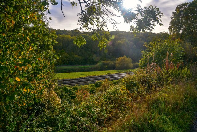
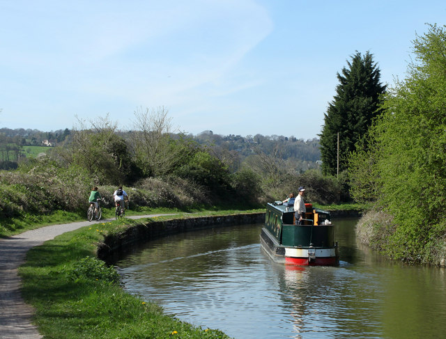
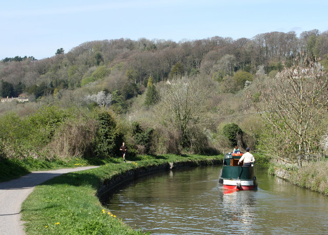
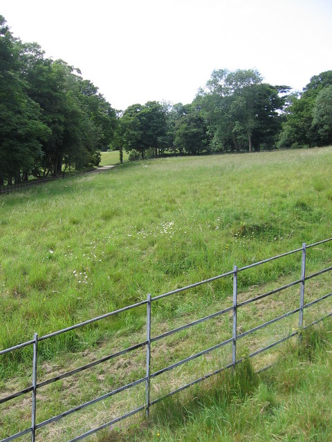
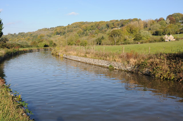
Upper Westwood is renowned for its scenic walking trails, which attract both locals and visitors alike. The Westwood itself, a large common land adjacent to the village, provides ample opportunities for outdoor activities such as picnicking, nature walks, and birdwatching. The area is also known for its rich history, with evidence of Iron Age settlements and Roman occupation in the vicinity.

Overall, Upper Westwood offers a tranquil and idyllic setting for those seeking a peaceful rural lifestyle, while still benefiting from the amenities of nearby towns.

If you have any feedback on the listing, please let us know in the comments section below.

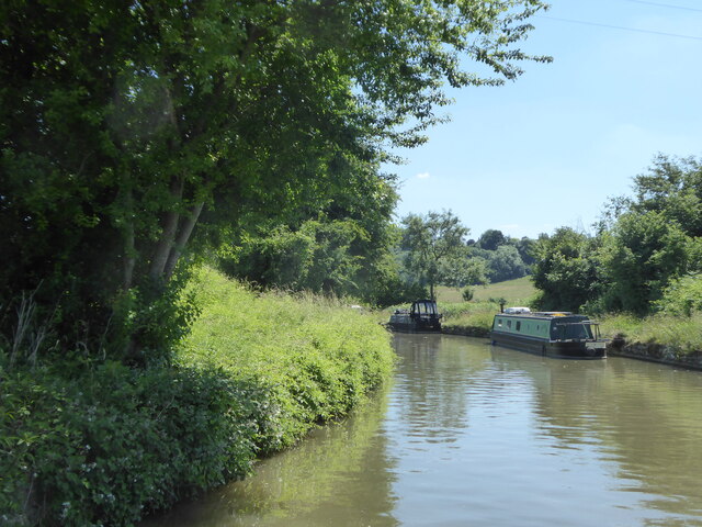
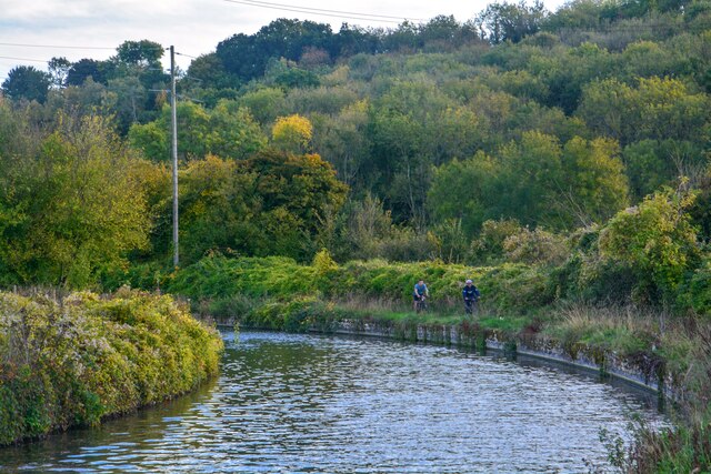
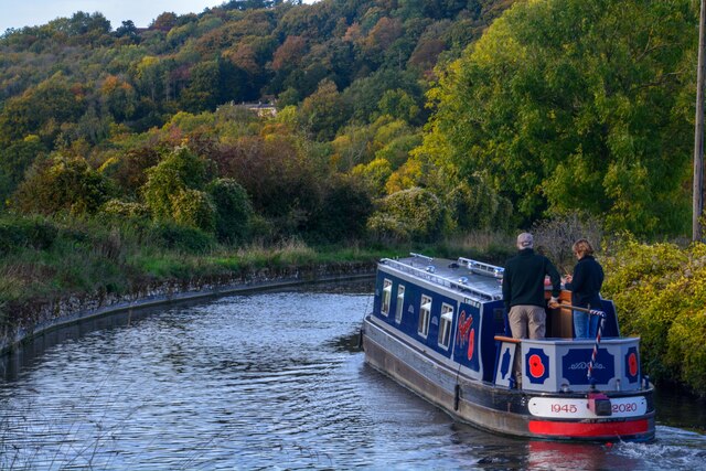
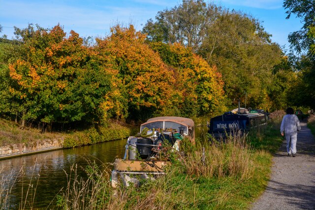
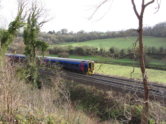
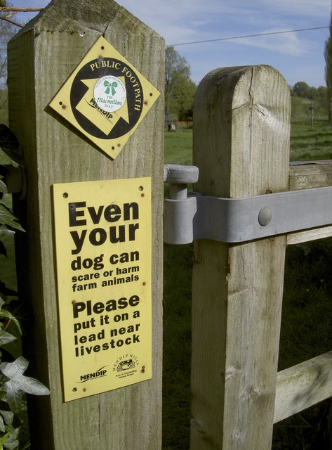
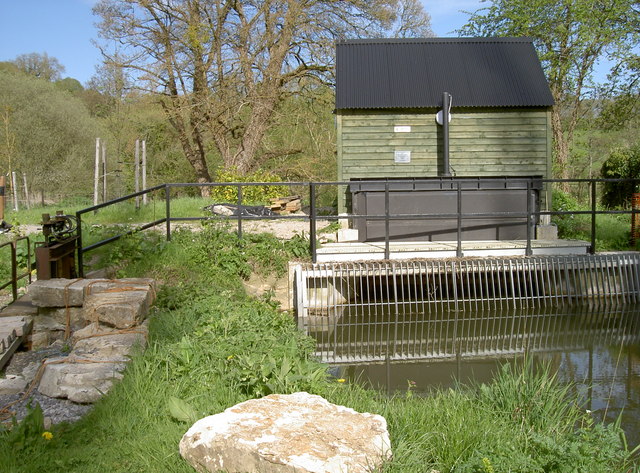
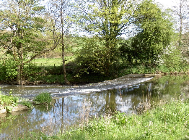
Upper Westwood Images

Images are sourced within 2km of 51.335859/-2.2796943 or Grid Reference ST8059. Thanks to Geograph Open Source API. All images are credited.

Bridge over the River Frome at Freshford
A sharp bend in the Kennet & Avon Canal below Avoncliff Wood
Avoncliff : Kennet & Avon Canal Looking along the Kennet & Avon Canal.
Avoncliff : Kennet & Avon Canal
Looking along the Kennet & Avon Canal.
Avoncliff : Kennet & Avon Canal Looking along the Kennet & Avon Canal.
Avoncliff : Kennet & Avon Canal
Looking along the Kennet & Avon Canal.
Avoncliff : Kennet & Avon Canal Looking along the Kennet & Avon Canal.
Avoncliff : Kennet & Avon Canal
Looking along the Kennet & Avon Canal.
Avoncliff : Railway The railway seen from the canal towpath.
Avoncliff : Railway
The railway seen from the canal towpath.
Field path leading west towards River Frome at Freshford
2011 : Kennet & Avon Canal west of Avoncliff A long straight stretch hidden by the wide variety of boats to be seen on the K&A. A mixture of craft, broad beam (up to 14 ft) and narrow, usually 6ft 10ins.
Privately owned craft rub cheek by jowl with hire boats. Anything from 8 ft length to 72 (yes 72) ft. Though the only horse drawn boat I know of is usually at Kintbury.
2011 : Kennet & Avon Canal west of Avoncliff
A long straight stretch hidden by the wide variety of boats to be seen on the K&A. A mixture of craft, broad beam (up to 14 ft) and narrow, usually 6ft 10ins. Privately owned craft rub cheek by jowl with hire boats. Anything from 8 ft length to 72 (yes 72) ft. Though the only horse drawn boat I know of is usually at Kintbury.
2011 : Kennet  & Avon Canal near Avoncliff This section of canal is concrete lined, the sloping sides underwater have caught many a steerer. Poor visibility round the bend tempts the steerer too close to the bank on the right. This gentleman is well experienced and has kept just far enough away from the side.
2011 : Kennet & Avon Canal near Avoncliff
This section of canal is concrete lined, the sloping sides underwater have caught many a steerer. Poor visibility round the bend tempts the steerer too close to the bank on the right. This gentleman is well experienced and has kept just far enough away from the side.
2011 : Kennet & Avon Canal approaching Winsley Bridge Between Avoncliff and Murhill.
The towpath is much used by joggers and cyclists as well as walkers, some with dogs.
A sewage treatment plant is close by to the left, it is only on rare occasions that passers by are aware of it.
2011 : Kennet & Avon Canal approaching Winsley Bridge
Between Avoncliff and Murhill. The towpath is much used by joggers and cyclists as well as walkers, some with dogs. A sewage treatment plant is close by to the left, it is only on rare occasions that passers by are aware of it.
The end of the grounds at Iford Manor This fence, which lies just beyond the orchard, is as far as visitors can go.
The end of the grounds at Iford Manor
This fence, which lies just beyond the orchard, is as far as visitors can go.
Avoncliff Sewage Works This shows the sewage works right next to the River Avon and tucked in between it and the railway from where this was taken.
Avoncliff Sewage Works
This shows the sewage works right next to the River Avon and tucked in between it and the railway from where this was taken.
Kennet and Avon Canal The Kennet and Avon Canal to the west of Avoncliff.
Kennet and Avon Canal
The Kennet and Avon Canal to the west of Avoncliff.
Kennet & Avon narrowboat,  near Avoncliff
Kennet & Avon narrowboat, near Avoncliff
Railway line near Avoncliff
Eye test or responsibility test? The warning sign on a footpath gate might grab the attention with the differing font size. At least someone has put a 'Macmillan Way' sticker on it as well to emphasise its status.
Eye test or responsibility test?
The warning sign on a footpath gate might grab the attention with the differing font size. At least someone has put a 'Macmillan Way' sticker on it as well to emphasise its status.
Green power The River Frome was altered over 100 years ago to provide means to run a mill. The weir is still there (see <a href="https://www.geograph.org.uk/photo/3459579">ST7958 : Frome weir</a>) but the mill has since gone; however, a new form of power is being used today. This unimposing station houses an Archimedes Screw turbine that can generate up to 44kW, and an annual output of 149MWh. It appears to be up and running again after suffering bearing failure recently.
Green power
The River Frome was altered over 100 years ago to provide means to run a mill. The weir is still there (see ST7958 : Frome weir) but the mill has since gone; however, a new form of power is being used today. This unimposing station houses an Archimedes Screw turbine that can generate up to 44kW, and an annual output of 149MWh. It appears to be up and running again after suffering bearing failure recently.
Frome weir The man-made weir remains after over a century.
Frome weir
The man-made weir remains after over a century.
Show me another place!

Upper Westwood is located at Grid Ref: ST8059 (Lat: 51.335859, Lng: -2.2796943)

Unitary Authority: Wiltshire

Police Authority: Wiltshire

What 3 Words

///deposits.rave.automatic. Near Westwood, Wiltshire

Related Wikis

Avoncliff

Avoncliff is a small village in west Wiltshire, England, in the north of Westwood parish about 1.5 miles (2.4 km) southwest of Bradford-on-Avon. It is...

Avoncliff Aqueduct

Avoncliff Aqueduct (grid reference ST803599) carries the Kennet and Avon Canal over the River Avon and the Bath to Westbury railway, at Avoncliff in Wiltshire...

Avoncliff railway station

Avoncliff railway station serves the small village of Avoncliff in Wiltshire, England, together with the nearby villages of Westwood and Winsley, and Turleigh...

Iford Manor

Iford Manor (grid reference ST802589) is a manor house in Wiltshire, England. It is a Grade II* listed building sitting on the steep, south-facing slope...

Nearby Amenities

Located within 500m of 51.335859,-2.2796943
Avoncliff
Place: hamlet
Postal Code: BA15 2
Wikidata: Q4829274
Lat/Long: 51.3381863/-2.2805
Barrier: cycle_barrier
Lat/Long: 51.332195/-2.2755486
Westwood
Place: village
Lat/Long: 51.3330021/-2.2787737
Avoncliff
Naptan AtcoCode: 9100AVNCLFF
Network: National Rail
Network Website: https://www.nationalrail.co.uk/stations/avf/
Network Wikidata: Q26334
Operator: Great Western Railway
Operator Website: https://www.gwr.com/stations-and-destinations/stations/avoncliff
Operator Wikidata: Q1419438
Public Transport: station
Railway: station
Ref Crs: AVF
Source: NPE
Wikidata: Q2877190
Wikipedia: en:Avoncliff railway station
Lat/Long: 51.33956/-2.2818436
Post Box
Brand: Royal Mail
Brand Wikidata: Q638098
Brand Wikipedia: en:Royal Mail
Operator: Royal Mail
Operator Wikidata: Q638098
Post Box Type: wall
Ref: BA15 3
Royal Cypher: EIIR
Royal Cypher Wikidata: Q33102113
Lat/Long: 51.338431/-2.2826502
Bicycle Parking
Capacity: 6
Lat/Long: 51.3392437/-2.2824678
Barrier: kissing_gate
Lat/Long: 51.3397874/-2.2824698
Barrier: stile
Lat/Long: 51.3359582/-2.2838184
Barrier: kissing_gate
Lat/Long: 51.3379977/-2.2844136
Barrier: stile
Lat/Long: 51.3369086/-2.2801004
Barrier: stile
Lat/Long: 51.3363522/-2.282225
Barrier: stile
Lat/Long: 51.3368601/-2.2817455
Barrier: bollard
Lat/Long: 51.3357136/-2.2796387
Barrier: bollard
Lat/Long: 51.3346241/-2.2783046
Barrier: cycle_barrier
Lat/Long: 51.3337383/-2.2768667
Barrier: kissing_gate
Lat/Long: 51.3353683/-2.2833892
Barrier: kissing_gate
Lat/Long: 51.3355202/-2.2837988
Barrier: kissing_gate
Lat/Long: 51.3376746/-2.2807681
Barrier: kissing_gate
Lat/Long: 51.3399299/-2.2780142
Barrier: cycle_barrier
Lat/Long: 51.3364401/-2.2800469
Barrier: stile
Material: stone
Step Count: 3
Stile: stepover
Lat/Long: 51.3366995/-2.2786097
Barrier: stile
Lat/Long: 51.3361866/-2.2790518
Barrier: kissing_gate
Lat/Long: 51.3333454/-2.2765149
Bus Stop
Westwood Turning Circle
Bench: yes
Bus: yes
Naptan AtcoCode: 4600WIA11375
Naptan Bearing: E
Naptan CommonName: Turning Circle
Naptan Indicator: E-bound
Naptan NaptanCode: wiladgtd
Naptan Street: Bobbin Lane
Naptan Verified: no
Public Transport: platform
Shelter: yes
Source: naptan;bing;naptan_compare_tool
Lat/Long: 51.3345079/-2.2784961
Bus Stop
Bus: yes
Naptan AtcoCode: 4600WIA11374
Naptan NaptanCode: wiladgwg
Public Transport: platform
Lat/Long: 51.3333098/-2.2766427
Bus Stop
Tynings Way
Bus: yes
Naptan AtcoCode: 4600WIA11373
Naptan Bearing: S
Naptan CommonName: Tynings Way
Naptan Indicator: S-bound
Naptan NaptanCode: wiladgwm
Naptan Street: Leslie Rise
Naptan Verified: no
Public Transport: platform
Shelter: no
Source: naptan;bing;naptan_compare_tool
Lat/Long: 51.3333282/-2.2765354
Bus Stop
Westwood Shop
Bench: no
Bus: yes
Naptan AtcoCode: 4600WIA11371
Naptan Bearing: NE
Naptan CommonName: Post Office
Naptan Indicator: o/s
Naptan NaptanCode: wiladgtw
Naptan Street: Tynings Way
Naptan Verified: no
Public Transport: platform
Shelter: no
Source: naptan;bing;naptan_compare_tool
Lat/Long: 51.3318417/-2.277855
Bus Stop
Westwood Shop
Bench: no
Bus: yes
Naptan AtcoCode: 4600WIA11372
Naptan Bearing: SW
Naptan BusStopType: CUS
Naptan CommonName: Post Office
Naptan Indicator: SW-bound
Naptan NaptanCode: wiladgwa
Naptan Street: Tynings Way
Naptan Verified: no
Public Transport: platform
Shelter: no
Source: naptan;bing;naptan_compare_tool
Lat/Long: 51.3318049/-2.2778014
Material: wood
Operator: Scottish and Southern Electricity Networks
Operator Wikidata: Q43080530
Power: pole
Lat/Long: 51.3348012/-2.2751195
Material: wood
Operator: Scottish and Southern Electricity Networks
Operator Wikidata: Q43080530
Power: pole
Lat/Long: 51.3349135/-2.2738749
Water Point
Drinking Water: yes
Mapillary: 237480517825159
Lat/Long: 51.3385439/-2.2813542
Defibrillator
Emergency: defibrillator
Lat/Long: 51.3381471/-2.2824573
Material: wood
Operator: Scottish and Southern Electricity Networks
Operator Wikidata: Q43080530
Power: pole
Lat/Long: 51.3352068/-2.2762325
Material: wood
Operator: Scottish and Southern Electricity Networks
Operator Wikidata: Q43080530
Power: pole
Lat/Long: 51.3355/-2.2755432
Material: wood
Operator: Scottish and Southern Electricity Networks
Operator Wikidata: Q43080530
Power: pole
Lat/Long: 51.3357933/-2.2747976
Material: wood
Operator: Scottish and Southern Electricity Networks
Operator Wikidata: Q43080530
Power: pole
Lat/Long: 51.3364937/-2.2734323
Material: wood
Operator: Scottish and Southern Electricity Networks
Operator Wikidata: Q43080530
Power: pole
Lat/Long: 51.3368414/-2.2728637
Material: wood
Operator: Scottish and Southern Electricity Networks
Operator Wikidata: Q43080530
Power: pole
Lat/Long: 51.3333969/-2.2748593
Material: wood
Operator: Scottish and Southern Electricity Networks
Operator Wikidata: Q43080530
Power: pole
Lat/Long: 51.3339784/-2.2757363
Material: wood
Operator: Scottish and Southern Electricity Networks
Operator Wikidata: Q43080530
Power: pole
Lat/Long: 51.3345767/-2.2765759
Tourism: picnic_site
Lat/Long: 51.3354952/-2.279203
Bench
Lat/Long: 51.3350338/-2.2784296
Bench
Backrest: yes
Material: wood
Seats: 3
Lat/Long: 51.3390564/-2.2826488
Addr Housename: Fasthill
Addr Street: Chestnut Grove
Lat/Long: 51.3354277/-2.2806052
Bench
Material: wood
Seats: 2
Lat/Long: 51.3391898/-2.2827449
Bench
Material: wood
Seats: 2
Lat/Long: 51.3390889/-2.2826771
Addr Housename: The long house
Addr Street: Chestnut Grove
Lat/Long: 51.3353619/-2.280523
Bench
Backrest: yes
Material: wood
Seats: 3
Lat/Long: 51.3391376/-2.2827274
Bench
Backrest: yes
Material: wood
Seats: 2
Lat/Long: 51.3392008/-2.2795182
Avoncliff Aqueduct
Tourism: attraction
Lat/Long: 51.3386855/-2.2822125
Bicycle Parking
Bicycle Parking: wall_loops
Covered: no
Lat/Long: 51.3388863/-2.2812064
Railway: signal
Railway Signal Direction: forward
Railway Signal Main: GB-NR:main
Ref: D0 1987
Lat/Long: 51.3393709/-2.2825801
The data included in this document is from www.openstreetmap.org. The data is made available under ODbL.

Have you been to Upper Westwood?

Leave your review of Upper Westwood below (or comments, questions and feedback).