Iford Wood

Wood, Forest in Wiltshire

England

Iford Wood

Bridge over the River Frome at Freshford
Bridge over the River Frome at Freshford Credit: Anthony Parkes

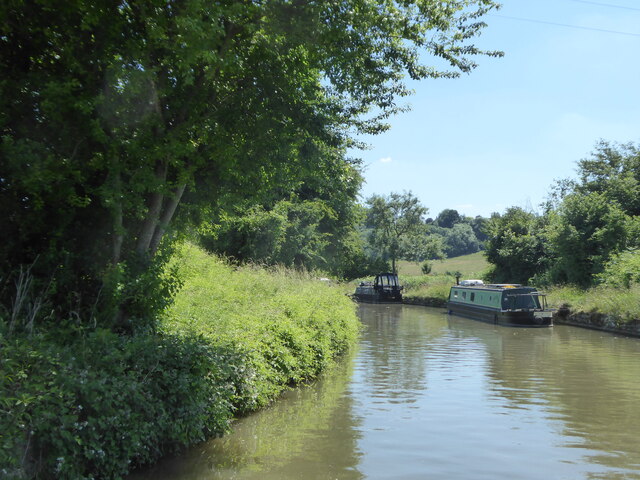
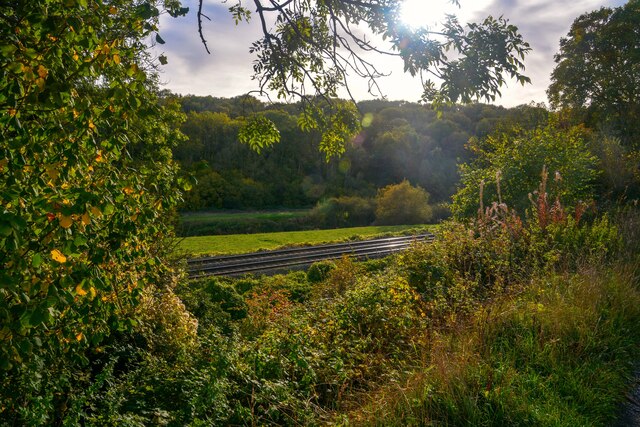
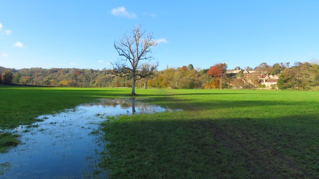
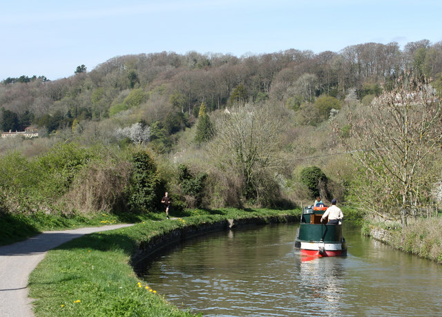
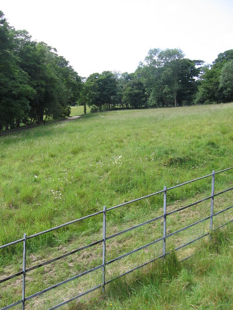
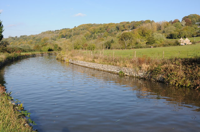
Iford Wood is a charming woodland located in the county of Wiltshire, England. Situated near the village of Iford, the wood covers an area of approximately 100 acres and is known for its diverse range of flora and fauna.

The wood is primarily made up of broadleaf trees such as oak, beech, and ash, which create a dense canopy that filters sunlight and provides a tranquil atmosphere. The forest floor is covered in a carpet of wildflowers, including bluebells, primroses, and wood anemones, which bloom in vibrant colors during the spring months.

Iford Wood is also home to a variety of wildlife. Visitors may be lucky enough to spot deer, foxes, and badgers wandering through the undergrowth. The wood is a haven for bird enthusiasts, with species such as woodpeckers, owls, and warblers frequently seen or heard.

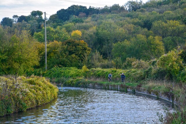
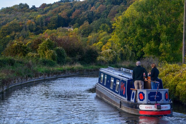
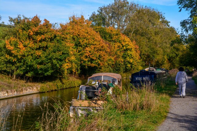
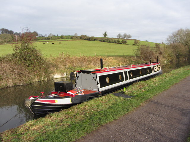
There are several walking trails that wind their way through the wood, offering visitors the opportunity to explore its natural beauty. These paths vary in length and difficulty, accommodating both casual walkers and more experienced hikers. Along the trails, there are benches and picnic spots, allowing visitors to rest and enjoy the peaceful surroundings.

Iford Wood is a popular destination for nature lovers and those seeking a respite from the hustle and bustle of everyday life. Its stunning scenery, diverse wildlife, and tranquil atmosphere make it an ideal place for relaxation and contemplation. Whether visiting for a leisurely stroll or a peaceful picnic, Iford Wood offers a truly enchanting experience for all who venture within its boundaries.

If you have any feedback on the listing, please let us know in the comments section below.

Iford Wood Images

Images are sourced within 2km of 51.330374/-2.2869522 or Grid Reference ST8059. Thanks to Geograph Open Source API. All images are credited.

Bridge over the River Frome at Freshford
A sharp bend in the Kennet & Avon Canal below Avoncliff Wood
Avoncliff : Kennet & Avon Canal Looking along the Kennet & Avon Canal.
Avoncliff : Kennet & Avon Canal
Looking along the Kennet & Avon Canal.
Avoncliff : Kennet & Avon Canal Looking along the Kennet & Avon Canal.
Avoncliff : Kennet & Avon Canal
Looking along the Kennet & Avon Canal.
Avoncliff : Kennet & Avon Canal Looking along the Kennet & Avon Canal.
Avoncliff : Kennet & Avon Canal
Looking along the Kennet & Avon Canal.
Avoncliff : Railway The railway seen from the canal towpath.
Avoncliff : Railway
The railway seen from the canal towpath.
Field path leading west towards River Frome at Freshford
St Leonard's Church, Farleigh Hungerford
2011 : Kennet & Avon Canal west of Avoncliff A long straight stretch hidden by the wide variety of boats to be seen on the K&A. A mixture of craft, broad beam (up to 14 ft) and narrow, usually 6ft 10ins.
Privately owned craft rub cheek by jowl with hire boats. Anything from 8 ft length to 72 (yes 72) ft. Though the only horse drawn boat I know of is usually at Kintbury.
2011 : Kennet & Avon Canal west of Avoncliff
A long straight stretch hidden by the wide variety of boats to be seen on the K&A. A mixture of craft, broad beam (up to 14 ft) and narrow, usually 6ft 10ins. Privately owned craft rub cheek by jowl with hire boats. Anything from 8 ft length to 72 (yes 72) ft. Though the only horse drawn boat I know of is usually at Kintbury.
2011 : Kennet  & Avon Canal near Avoncliff This section of canal is concrete lined, the sloping sides underwater have caught many a steerer. Poor visibility round the bend tempts the steerer too close to the bank on the right. This gentleman is well experienced and has kept just far enough away from the side.
2011 : Kennet & Avon Canal near Avoncliff
This section of canal is concrete lined, the sloping sides underwater have caught many a steerer. Poor visibility round the bend tempts the steerer too close to the bank on the right. This gentleman is well experienced and has kept just far enough away from the side.
2011 : Kennet & Avon Canal approaching Winsley Bridge Between Avoncliff and Murhill.
The towpath is much used by joggers and cyclists as well as walkers, some with dogs.
A sewage treatment plant is close by to the left, it is only on rare occasions that passers by are aware of it.
2011 : Kennet & Avon Canal approaching Winsley Bridge
Between Avoncliff and Murhill. The towpath is much used by joggers and cyclists as well as walkers, some with dogs. A sewage treatment plant is close by to the left, it is only on rare occasions that passers by are aware of it.
The end of the grounds at Iford Manor This fence, which lies just beyond the orchard, is as far as visitors can go.
The end of the grounds at Iford Manor
This fence, which lies just beyond the orchard, is as far as visitors can go.
The Hungerford Arms
The Hungerford Arms
Avoncliff Sewage Works This shows the sewage works right next to the River Avon and tucked in between it and the railway from where this was taken.
Avoncliff Sewage Works
This shows the sewage works right next to the River Avon and tucked in between it and the railway from where this was taken.
Kennet and Avon Canal The Kennet and Avon Canal to the west of Avoncliff.
Kennet and Avon Canal
The Kennet and Avon Canal to the west of Avoncliff.
Kennet & Avon narrowboat,  near Avoncliff
Kennet & Avon narrowboat, near Avoncliff
Railway line near Avoncliff
Eye test or responsibility test? The warning sign on a footpath gate might grab the attention with the differing font size. At least someone has put a 'Macmillan Way' sticker on it as well to emphasise its status.
Eye test or responsibility test?
The warning sign on a footpath gate might grab the attention with the differing font size. At least someone has put a 'Macmillan Way' sticker on it as well to emphasise its status.
Show me another place!

Iford Wood is located at Grid Ref: ST8059 (Lat: 51.330374, Lng: -2.2869522)

Unitary Authority: Wiltshire

Police Authority: Wiltshire

What 3 Words

///stops.useful.admits. Near Westwood, Wiltshire

Related Wikis

Iford Manor

Iford Manor (grid reference ST802589) is a manor house in Wiltshire, England. It is a Grade II* listed building sitting on the steep, south-facing slope...

Avoncliff

Avoncliff is a small village in west Wiltshire, England, in the north of Westwood parish about 1.5 miles (2.4 km) southwest of Bradford-on-Avon. It is...

Avoncliff Aqueduct

Avoncliff Aqueduct (grid reference ST803599) carries the Kennet and Avon Canal over the River Avon and the Bath to Westbury railway, at Avoncliff in Wiltshire...

Avoncliff railway station

Avoncliff railway station serves the small village of Avoncliff in Wiltshire, England, together with the nearby villages of Westwood and Winsley, and Turleigh...

Nearby Amenities

Located within 500m of 51.330374,-2.2869522
Post Box
Lat/Long: 51.3290783/-2.2880679
Barrier: kissing_gate
Lat/Long: 51.3280751/-2.2897093
Barrier: stile
Material: stone
Stile: stepover
Lat/Long: 51.328194/-2.2897508
Iford
Note: local knowledge
Place: hamlet
Lat/Long: 51.3289805/-2.2882476
Brittania
Historic: memorial
Memorial: statue
Lat/Long: 51.3288142/-2.2880803
Material: wood
Power: pole
Source: bing
Transformer: distribution
Lat/Long: 51.3271063/-2.2892828
Material: wood
Power: pole
Source: bing
Lat/Long: 51.3281748/-2.2807065
Material: wood
Power: pole
Source: bing
Lat/Long: 51.3273234/-2.2817445
The data included in this document is from www.openstreetmap.org. The data is made available under ODbL.

Have you been to Iford Wood?

Leave your review of Iford Wood below (or comments, questions and feedback).