Auberrow
Settlement in Herefordshire
England
Auberrow
Auberrow is a quaint village nestled in the picturesque county of Herefordshire, England. Located approximately 6 miles north of Hereford city, this rural settlement offers a tranquil and idyllic setting for its residents. With a population of around 200 people, Auberrow exudes a close-knit community atmosphere.
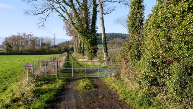
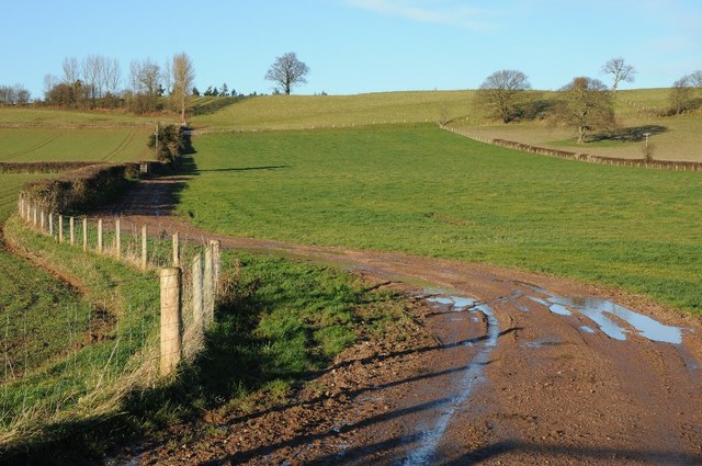
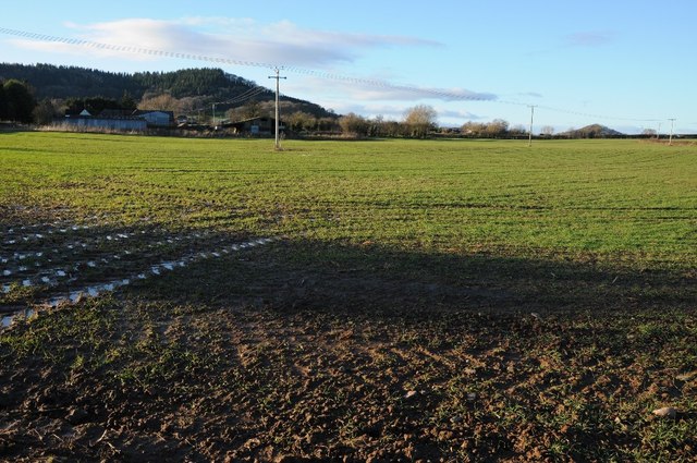
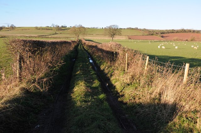
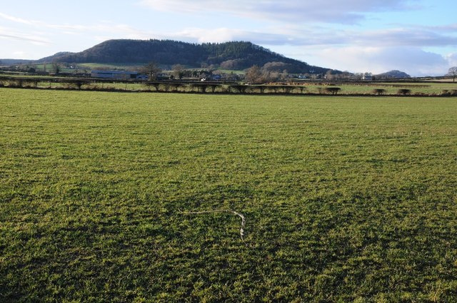
The village is characterized by its charming collection of traditional stone cottages and historic buildings, which reflect its rich heritage. Surrounded by rolling green hills and farmland, Auberrow is blessed with stunning natural beauty, making it a haven for nature lovers and outdoor enthusiasts.
Auberrow boasts a range of amenities to cater to the needs of its residents. The village is home to a well-regarded primary school, providing local children with quality education. Additionally, a village hall acts as a hub for community events and gatherings, fostering a strong sense of belonging amongst the residents.
For those seeking recreational activities, Auberrow offers ample opportunities to explore the surrounding countryside. Nearby, the Wye Valley provides stunning walking trails along the River Wye, while the Malvern Hills offer breathtaking views for hikers. The village is also conveniently located for easy access to Hereford city, where residents can enjoy a wider array of amenities including shops, restaurants, and cultural attractions.
In summary, Auberrow is a charming and close-knit village in the heart of Herefordshire. With its picturesque landscapes, strong sense of community, and proximity to both nature and urban amenities, Auberrow offers an appealing lifestyle for those seeking a peaceful and rural retreat.
If you have any feedback on the listing, please let us know in the comments section below.
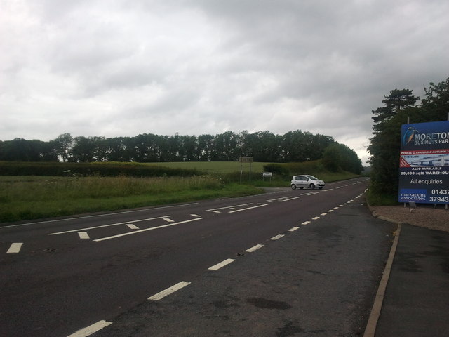
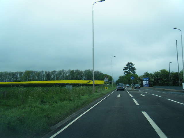
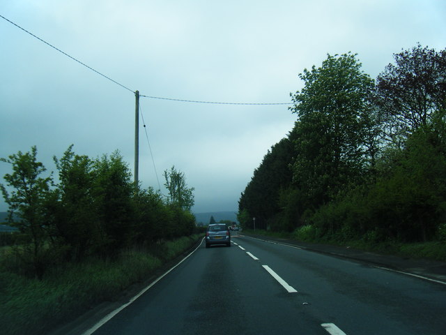
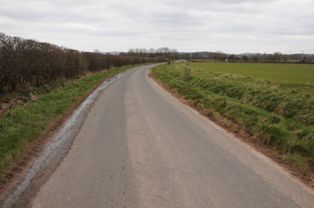
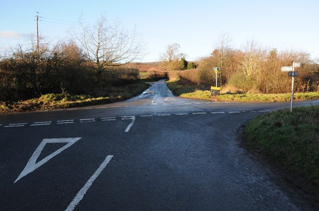
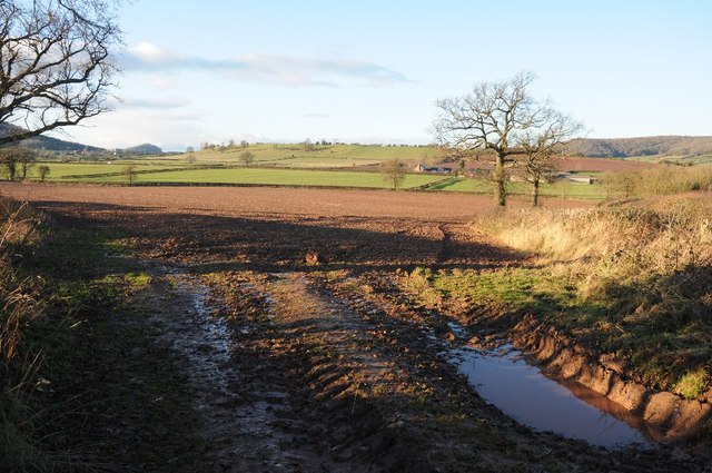
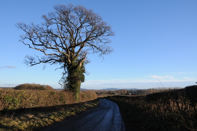
Auberrow Images
Images are sourced within 2km of 52.12197/-2.7439219 or Grid Reference SO4947. Thanks to Geograph Open Source API. All images are credited.


Auberrow is located at Grid Ref: SO4947 (Lat: 52.12197, Lng: -2.7439219)
Unitary Authority: County of Herefordshire
Police Authority: West Mercia
What 3 Words
///roosters.coasted.pins. Near Wellington, Herefordshire
Nearby Locations
Related Wikis

Wellington, Herefordshire
Wellington, a village in Herefordshire, England at grid reference SO494481 had a population of 1005 in the 2011 census .The village is sheltered by the...

Wellington F.C. (Herefords)
Wellington Football Club are a football club based in the village of Wellington, Herefordshire, England. The club is affiliated to the Herefordshire County...

Moreton on Lugg
Moreton on Lugg is a village and civil parish in Herefordshire, England. The city and county town of Hereford is approximately 3 miles (5 km) to the south...
Moreton-on-Lugg railway station
Moreton-on-Lugg railway station was a station in Moreton-on-Lugg, Herefordshire, England. The station was opened in 1853, closed to passengers in 1958...

Burghill
Burghill is a village and civil parish in Herefordshire, England, north-west of Hereford. The parish includes the villages of Burghill, Tillington, Portway...

Upper Lyde
Upper Lyde is a small village in Herefordshire, England, around 4 miles (6 km) north of Hereford city centre. It forms part of the Pipe and Lyde civil...

Dinmore Manor
Dinmore Manor House is a large rural house in a well-wooded, hilly part of Herefordshire in the least populous parish of the county, Dinmore. It was substantially...

Marden, Herefordshire
Marden is a village and civil parish in the English county of Herefordshire. Marden village is approximately 7 miles (11 km) due north of the city of Hereford...
Nearby Amenities
Located within 500m of 52.12197,-2.7439219Have you been to Auberrow?
Leave your review of Auberrow below (or comments, questions and feedback).