Aubourn

Settlement in Lincolnshire North Kesteven

England

Aubourn

Blackmoor Road near Aubourn Heading west towards Aubourn.
Blackmoor Road near Aubourn Credit: Stephen Richards

Aubourn is a small village located in the county of Lincolnshire, in the East Midlands region of England. It is situated approximately 10 miles southwest of the city of Lincoln and lies along the A607 road. The village is part of the North Kesteven district.

With a population of around 300 residents, Aubourn is a close-knit community known for its picturesque countryside setting. The village is surrounded by rolling fields and farmlands, offering stunning views and a tranquil atmosphere. It is a popular destination for nature lovers and those seeking a peaceful retreat away from the hustle and bustle of city life.

Aubourn is home to a few notable landmarks, including the St Peter's Church, which dates back to the 13th century and features beautiful stained glass windows. The village also has a village hall, a primary school, and a pub, providing essential amenities for residents.

The village is well-connected to nearby towns and cities. The city of Lincoln is easily accessible by road, offering a range of shopping, dining, and entertainment options. Additionally, the village is located near the Lincolnshire Wolds, an Area of Outstanding Natural Beauty, providing further opportunities for outdoor activities such as walking, cycling, and exploring the local countryside.

Overall, Aubourn is a charming village that offers a peaceful and idyllic rural lifestyle while still being within reach of larger towns and cities. It is a place where residents can enjoy the beauty of the surrounding nature and the warmth of a close community.

If you have any feedback on the listing, please let us know in the comments section below.
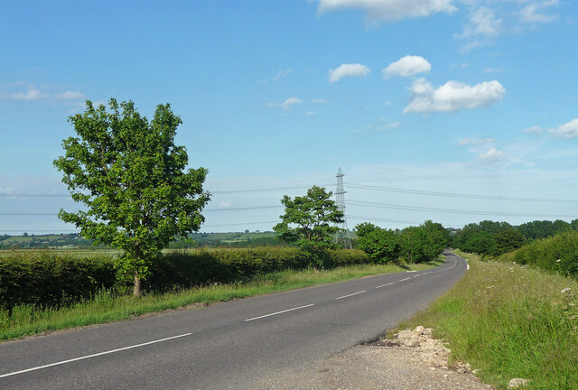
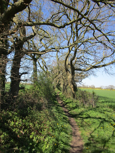
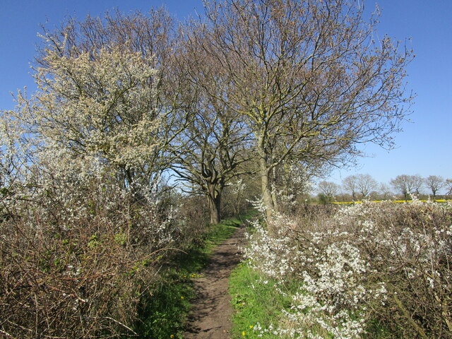
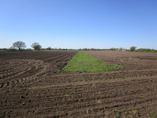
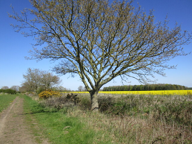
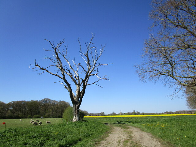
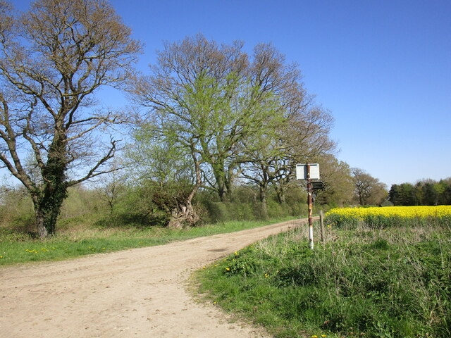
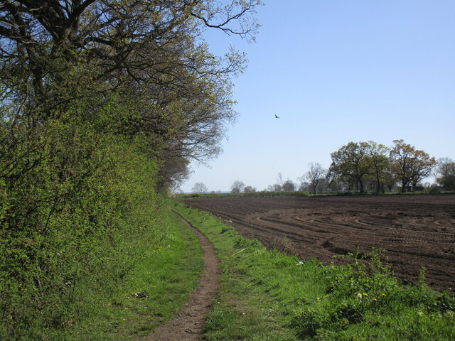
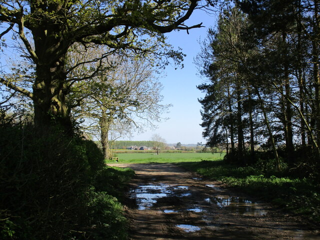
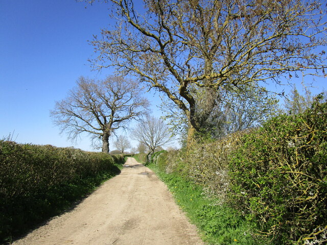
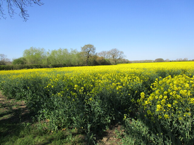
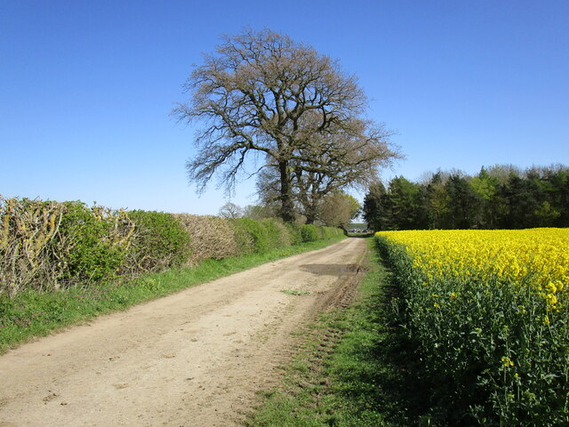
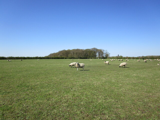
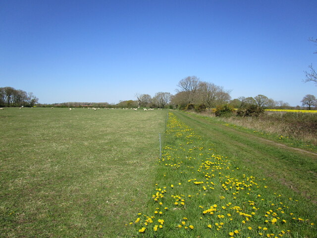
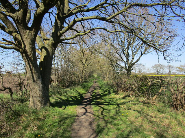
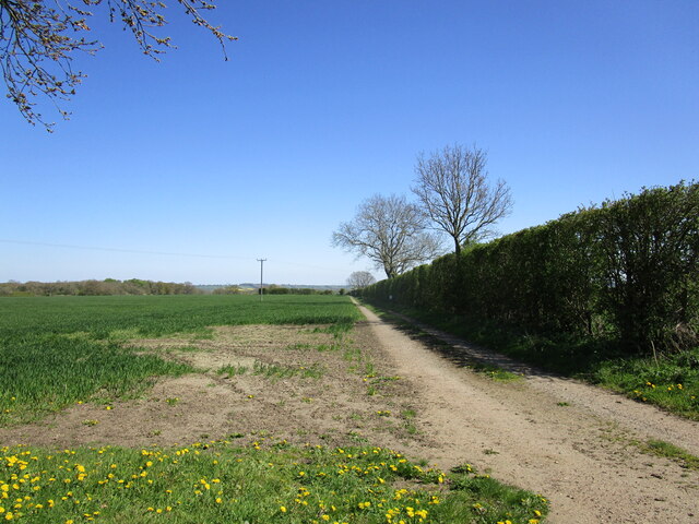
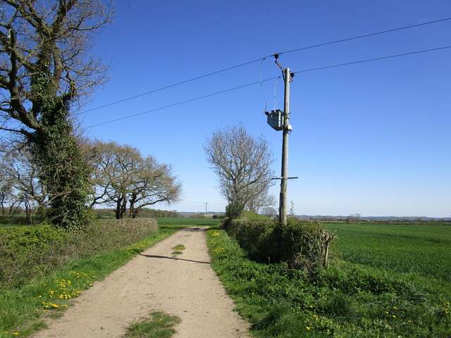
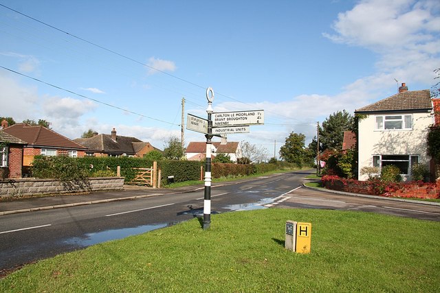
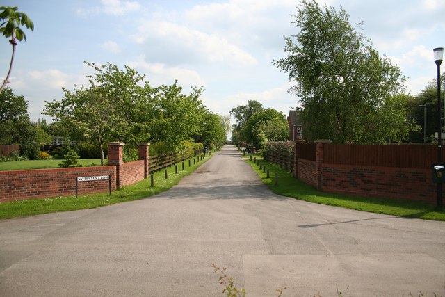
Aubourn Images

Images are sourced within 2km of 53.151675/-0.625826 or Grid Reference SK9162. Thanks to Geograph Open Source API. All images are credited.

Blackmoor Road near Aubourn Heading west towards Aubourn.
Blackmoor Road near Aubourn
Heading west towards Aubourn.
Restricted byway towards Aubourn Little more than a footpath though there are signs that a horse has recently been along here.
Restricted byway towards Aubourn
Little more than a footpath though there are signs that a horse has recently been along here.
Restricted byway and blackthorn
Restricted byway to Lincoln Road Just a wide strip of grass with cultivation at each end.
Restricted byway to Lincoln Road
Just a wide strip of grass with cultivation at each end.
Two shades of yellow Gorse and oilseed rape.
On a byway from Bassingham to Aubourn.
Two shades of yellow
Gorse and oilseed rape. On a byway from Bassingham to Aubourn.
Dead tree and Moor Covert Auburn Moor.
Dead tree and Moor Covert
Auburn Moor.
Oilseed rape, Aubourn Moor
End of publicly maintained highway The road as far as this sign is supposed to be maintained by Lincolnshire County Council but is as rutted as any of the nearby farm tracks.
End of publicly maintained highway
The road as far as this sign is supposed to be maintained by Lincolnshire County Council but is as rutted as any of the nearby farm tracks.
Footpath to Fen Lane, Bassingham
Bend in Moor Lane near Aubourn Malborough Farm in the distance.
Bend in Moor Lane near Aubourn
Malborough Farm in the distance.
Moor Lane near Aubourn
Oilseed rape near Aubourn
Moor Lane near Aubourn This road is supposed to be maintained by Lincolnshire County Council but is as rutted as any of the nearby farm tracks.
Moor Lane near Aubourn
This road is supposed to be maintained by Lincolnshire County Council but is as rutted as any of the nearby farm tracks.
Grazing sheep and Moor Covert
Restricted byway towards Aubourn
Farm track near North Field Farm, Bassingham
Restricted byway towards Aubourn For a brief section this byway runs along a farm track from North Field Farm.
Restricted byway towards Aubourn
For a brief section this byway runs along a farm track from North Field Farm.
Show me another place!

Aubourn is located at Grid Ref: SK9162 (Lat: 53.151675, Lng: -0.625826)

Division: Parts of Kesteven

Administrative County: Lincolnshire

District: North Kesteven

Police Authority: Lincolnshire

What 3 Words

///crust.sunblock.crumple. Near Bassingham, Lincolnshire

Nearby Locations

Aubourn

Related Wikis

Aubourn

Aubourn ("Stream where the Alders grow") is a small village in the civil parish of Aubourn with Haddington, in the North Kesteven district, in the county...

Aubourn with Haddington

Aubourn with Haddington or Aubourn and Haddington is a civil parish in the North Kesteven district of Lincolnshire, England. The population of the civil...

Haddington, Lincolnshire

Haddington is a hamlet in the civil parish of Aubourn with Haddington, in the North Kesteven district of Lincolnshire, England. It is situated just off...

Aubourn Haddington and South Hykeham

Aubourn Haddington and South Hykeham was a former civil parish in the North Kesteven district of Lincolnshire, England. According to the 2001 census it...

Thurlby, North Kesteven

Thurlby is a village and civil parish in the North Kesteven district of Lincolnshire, England, about 9 miles (14 km) south-west of the city of Lincoln...

Bassingham

Bassingham is a village and civil parish in the North Kesteven district of Lincolnshire, England. The population of the civil parish at the 2011 census...

South Hykeham

South Hykeham is a village and civil parish in the North Kesteven district of Lincolnshire, England. The population of the civil parish at the 2011 census...

Witham St Hughs

Witham St Hughs is a village in the Parish of Thurlby in the North Kesteven district of Lincolnshire, England. The population of the civil parish (including...

Nearby Amenities

Located within 500m of 53.151675,-0.625826
5 Bassingham Road
Naptan AtcoCode: 270000007786
Naptan Bearing: NE
Naptan BusStopType: CUS
Naptan CommonName: 5 Bassingham Road
Naptan Indicator: o/s
Naptan Landmark: Number 5
Naptan NaptanCode: lingmapt
Naptan Street: Bassingham Road
Naptan Verified: no
Source: naptan_import
Lat/Long: 53.1510345/-0.6281457
5 Bassingham Road
Naptan AtcoCode: 270000007787
Naptan Bearing: SW
Naptan BusStopType: CUS
Naptan CommonName: 5 Bassingham Road
Naptan Indicator: opp
Naptan Landmark: Number 5
Naptan NaptanCode: lingmapw
Naptan Street: Bassingham Road
Naptan Verified: no
Source: naptan_import
Lat/Long: 53.1509831/-0.6280813
Bus Stop
Royal Oak Lane Telephone Box
Naptan AtcoCode: 2700LARO1963
Naptan Bearing: E
Naptan CommonName: Royal Oak Lane Telephone Box
Naptan Indicator: E - bound
Naptan Landmark: Telephone Box
Naptan NaptanCode: linapadj
Naptan Street: Royal Oak Lane
Naptan Verified: no
Source: naptan_import
Lat/Long: 53.1535837/-0.6201629
Turning Circle
Hawthorn Corner
Lat/Long: 53.1537987/-0.6226853
Barrier: stile
Lat/Long: 53.154206/-0.6277681
Barrier: stile
Lat/Long: 53.1544231/-0.6281738
Barrier: stile
Lat/Long: 53.1544944/-0.6280035
Barrier: kissing_gate
Lat/Long: 53.1530935/-0.6268361
Post Box
Operator: Royal Mail
Post Box Type: lamp
Ref: LN4 228
Royal Cypher: EIIR
Royal Cypher Wikidata: Q33102113
Lat/Long: 53.1535604/-0.6201476
Barrier: kissing_gate
Lat/Long: 53.1526812/-0.6263812
Barrier: kissing_gate
Lat/Long: 53.1540951/-0.6242985
Barrier: kissing_gate
Lat/Long: 53.1542255/-0.6221814
Bench
Material: wood
Lat/Long: 53.1539048/-0.624862
Generator Method: photovoltaic
Generator Output Electricity: yes
Generator Source: solar
Generator Type: solar_photovoltaic_panel
Location: roof
Power: generator
Lat/Long: 53.1532288/-0.6215711
Generator Method: photovoltaic
Generator Output Electricity: yes
Generator Source: solar
Generator Type: solar_photovoltaic_panel
Location: roof
Power: generator
Lat/Long: 53.1533301/-0.6215926
Generator Method: photovoltaic
Generator Output Electricity: yes
Generator Source: solar
Generator Type: solar_photovoltaic_panel
Location: roof
Power: generator
Lat/Long: 53.153314/-0.6216556
Defibrillator
Booth: K6
Covered: booth
Defibrillator Location: defibrillator inside decommissioned red telephone box
Disused Amenity: telephone
Emergency: defibrillator
Indoor: yes
Man Made: telephone_box
Old Phone: +44 1522 788308
Lat/Long: 53.153548/-0.6207368
The data included in this document is from www.openstreetmap.org. The data is made available under ODbL.

Have you been to Aubourn?

Leave your review of Aubourn below (or comments, questions and feedback).