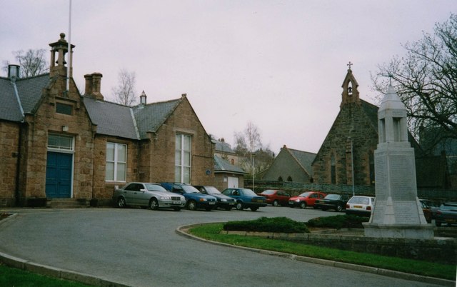
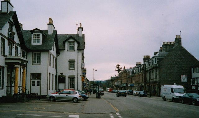
Auchattie

Settlement in Kincardineshire

Scotland

Auchattie

Scolty Monument and Trig Point
Scolty Monument and Trig Point Credit: thejackrustles

Auchattie is a small, rural village located in the region of Kincardineshire, Scotland. Situated approximately 13 miles southwest of Aberdeen, Auchattie is nestled within the picturesque landscape of the Scottish countryside.

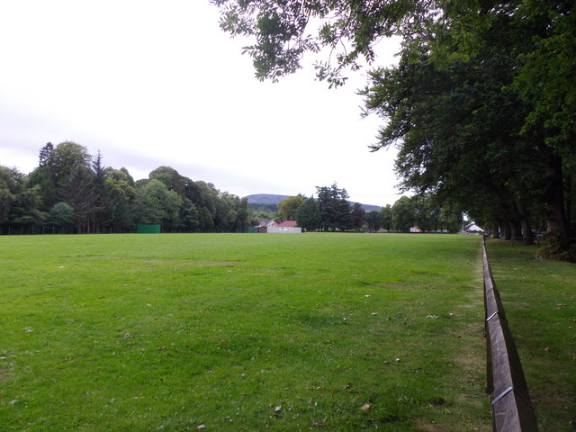
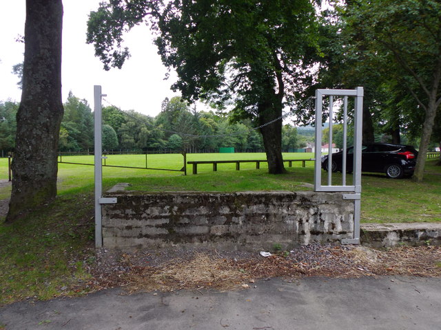
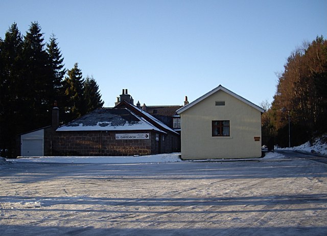
The village is characterized by its charming, traditional stone cottages and the tranquility that comes with its secluded location. Surrounded by rolling hills and farmland, Auchattie offers its residents a peaceful and idyllic setting to call home.

Despite its small size, Auchattie has a strong sense of community. The villagers are known for their warmth and friendliness, often organizing local events and gatherings. The village also has a community center that serves as a hub for various social activities and meetings.

Auchattie is well-positioned for outdoor enthusiasts, with numerous walking and cycling trails in the vicinity. The nearby Cairngorms National Park offers opportunities for hiking, wildlife spotting, and breathtaking views of the Scottish Highlands.

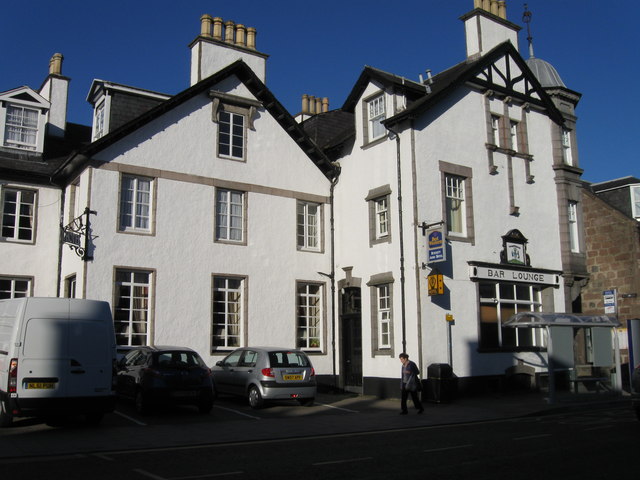
While Auchattie is primarily a residential area, the village is conveniently located near larger towns and cities. Aberdeen, with its bustling city center and amenities, is easily accessible by car or public transportation.

In summary, Auchattie is a charming and close-knit village in Kincardineshire, Scotland. Its peaceful rural location, strong community spirit, and proximity to both natural beauty and urban conveniences make it an appealing place to live for those seeking a tranquil lifestyle in the Scottish countryside.

If you have any feedback on the listing, please let us know in the comments section below.
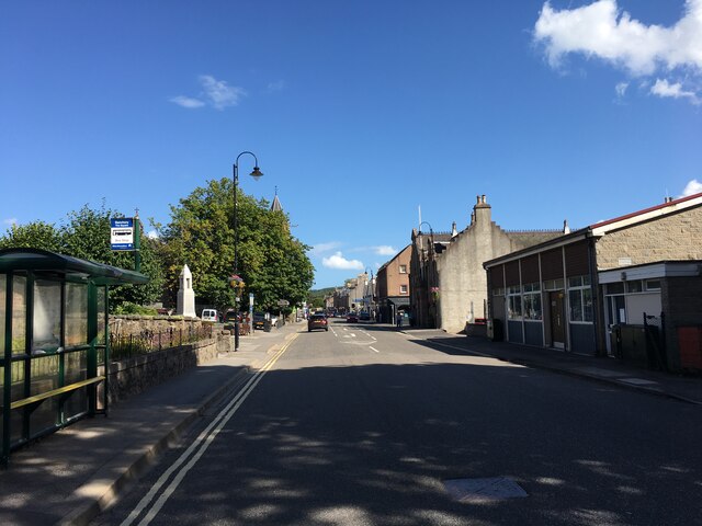
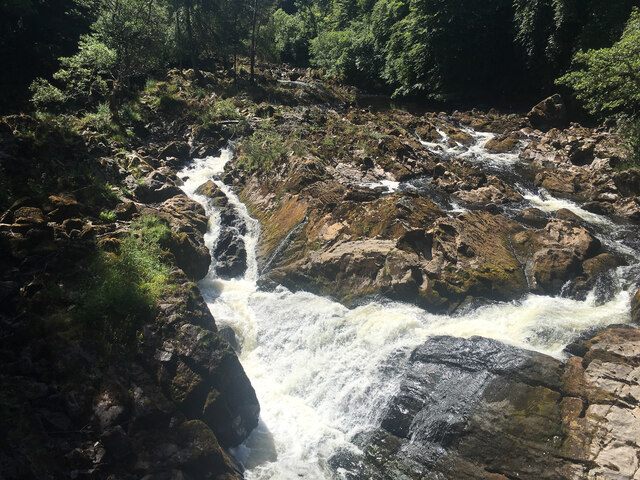
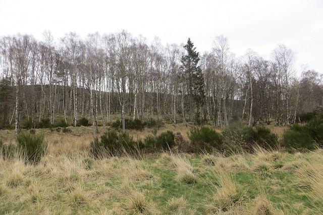
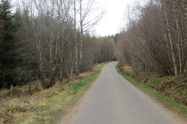
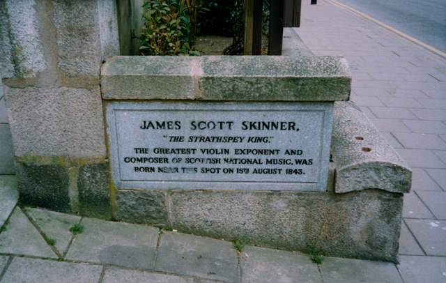
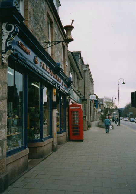
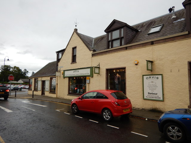
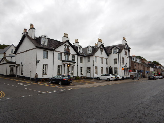
Auchattie Images

Images are sourced within 2km of 57.04201/-2.506608 or Grid Reference NO6994. Thanks to Geograph Open Source API. All images are credited.

Scolty Monument and Trig Point
Light the North trail The Light the North lighthouse trail took people on a cultural tour of the north-east of Scotland, including Moray, Orkney and Shetland. Visitors discovered over 45 lighthouse sculptures designed and created by some of the area’s most talented artists.

The trail raised awareness and funds for the most significant cancer support charity in the region, CLAN Cancer Support. The charity shined a light of hope in the dark for anyone affected by cancer.
Light the North trail
The Light the North lighthouse trail took people on a cultural tour of the north-east of Scotland, including Moray, Orkney and Shetland. Visitors discovered over 45 lighthouse sculptures designed and created by some of the area’s most talented artists. The trail raised awareness and funds for the most significant cancer support charity in the region, CLAN Cancer Support. The charity shined a light of hope in the dark for anyone affected by cancer.
Mount Street, Banchory, near Aberdeen Mount Street is a narrow street in the town of Banchory, near Aberdeen.
Mount Street, Banchory, near Aberdeen
Mount Street is a narrow street in the town of Banchory, near Aberdeen.
Pictish Hare 
Art Trail 


Hare, there and everywhere!
Clan Cancer Support, the north-east’s leading cancer support charity, has partnered with Wild in Art once again to bring an exciting new art trail to the north-east, Moray, Orkney and Shetland.

The Big Hop Trail will take the public on another cultural tour of the north-east and the islands from July to September 2023, with hare sculptures designed and created by some of the country’s most talented artists.

The trail coincides with Clan’s 40th anniversary, with the 40 hares being the focal point to celebrate the charity’s commitment to supporting people affected by cancer. 

We chose the hare sculpture as they are an indigenous animal found in all parts of Clan’s geography. Much like our clients during their cancer journey, hares have to navigate rough and difficult terrain in order to survive. They are also adaptable, like our services team who deliver support to anyone affected by cancer. Most importantly, hares have incredible hearing. What better way to depict our lifeline listening and support service and the importance of being heard?
Pictish Hare
Art Trail Hare, there and everywhere! Clan Cancer Support, the north-east’s leading cancer support charity, has partnered with Wild in Art once again to bring an exciting new art trail to the north-east, Moray, Orkney and Shetland. The Big Hop Trail will take the public on another cultural tour of the north-east and the islands from July to September 2023, with hare sculptures designed and created by some of the country’s most talented artists. The trail coincides with Clan’s 40th anniversary, with the 40 hares being the focal point to celebrate the charity’s commitment to supporting people affected by cancer. We chose the hare sculpture as they are an indigenous animal found in all parts of Clan’s geography. Much like our clients during their cancer journey, hares have to navigate rough and difficult terrain in order to survive. They are also adaptable, like our services team who deliver support to anyone affected by cancer. Most importantly, hares have incredible hearing. What better way to depict our lifeline listening and support service and the importance of being heard?
A93 in Banchory
A93 in Banchory
The Falls of Feugh
The Falls of Feugh
Birchwood, Blackness
Craig of Affrusk Wood A well forested bit of Highland Kincardineshire.
Craig of Affrusk Wood
A well forested bit of Highland Kincardineshire.
Bellfield Park playing field And sports pavilion.
Bellfield Park playing field
And sports pavilion.
Playing field loading bay Presumably for motorised mowing equipment?
Playing field loading bay
Presumably for motorised mowing equipment?
The Burnett Arms Hotel
Bridge over the River Dee, Banchory As seen from the riverside path to the south of Banchory Golf course
Bridge over the River Dee, Banchory
As seen from the riverside path to the south of Banchory Golf course
Council Offices and carpark, Banchory With St Ternan's Episcopal Church and the cenotaph to the right.
Council Offices and carpark, Banchory
With St Ternan's Episcopal Church and the cenotaph to the right.
High Street, Banchory Looking eastwards from its junction with Mount Street, and with Burnett Arms Hotel on the left.
High Street, Banchory
Looking eastwards from its junction with Mount Street, and with Burnett Arms Hotel on the left.
James Scott Skinner memorial plaque, Banchory 'The Strathspey King' was born near this spot on 15th August 1843.
James Scott Skinner memorial plaque, Banchory
'The Strathspey King' was born near this spot on 15th August 1843.
A chemist's shop on Bachory High Street (2003) Trading as 'Charles Michie', with a symbolic brass mortar and pestle mounted on the wall above the shop window.
A chemist's shop on Bachory High Street (2003)
Trading as 'Charles Michie', with a symbolic brass mortar and pestle mounted on the wall above the shop window.
Banchory - Orvis Country Clothing Store Bridge Street junction with Dee Street near the River Dee
Banchory - Orvis Country Clothing Store
Bridge Street junction with Dee Street near the River Dee
Banchory - High Street Burnett Arms <span class="nowrap"><a title="http://www.burnettarms.co.uk/" rel="nofollow ugc noopener" href="http://www.burnettarms.co.uk/">Link</a><img style="margin-left:2px;" alt="External link" title="External link - shift click to open in new window" src="https://s1.geograph.org.uk/img/external.png" width="10" height="10"/></span>
Banchory - High Street
Burnett Arms LinkExternal link
Show me another place!

Auchattie is located at Grid Ref: NO6994 (Lat: 57.04201, Lng: -2.506608)

Unitary Authority: Aberdeenshire

Police Authority: North East

What 3 Words

///firework.freshen.topping. Near Banchory, Aberdeenshire

Nearby Locations

Auchattie

Related Wikis

Braehead, Banchory

Braehead, Banchory is a proposed major housing development to the south of Banchory, Aberdeenshire, Scotland. The site is home to Braehead farm, formerly...

Dee Street Halt railway station

Dee Street Halt railway station was a short-lived stopping place on the Aberdeen and Ballater railway branch. It was situated at 17 miles 30 chains (28...

Kinneskie Road drill hall, Banchory

The Kinneskie Road drill hall is a former military installation near Banchory, Scotland. == History == The building was designed as the headquarters of...

Banchory Town Hall

Banchory Town Hall is a municipal structure in the High Street, Banchory, Aberdeenshire, Scotland. The structure is primarily used as a community events...
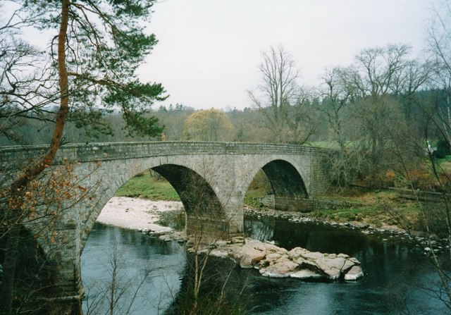
Water of Feugh

The Water of Feugh (pronounced:few-ikh) is a stream in Aberdeenshire that is the largest tributary to the River Dee. This stream rises in the Grampian...

Banchory railway station

Banchory railway station was situated on the Aberdeen and Ballater branch (the Deeside Line). It was situated at 16 miles 72 chains (27.2 km) from Aberdeen...

Banchory Academy

Banchory Academy is a secondary school serving Banchory, Scotland and surroundings, including the neighbouring communities of Raemoir, Crathes, Strachan...
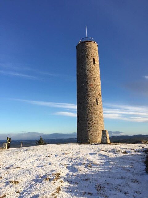
Scolty Hill

Scolty Hill is a small hill south of the Deeside town, Banchory. Its best known feature is the 20m tall tower monument, built in 1840 as a memorial to...

Nearby Amenities

Located within 500m of 57.04201,-2.506608
Power: pole
Lat/Long: 57.0375818/-2.5074862
Power: pole
Lat/Long: 57.037916/-2.506925
Power: pole
Lat/Long: 57.038247/-2.5063298
Power: pole
Lat/Long: 57.0385647/-2.505778
Power: pole
Lat/Long: 57.0389389/-2.5051109
Power: pole
Lat/Long: 57.0392936/-2.5044836
Power: pole
Lat/Long: 57.0397244/-2.5037315
Power: pole
Lat/Long: 57.0400236/-2.5032156
Power: pole
Lat/Long: 57.0406116/-2.5021687
Power: pole
Lat/Long: 57.0410547/-2.5013921
Power: pole
Lat/Long: 57.0415184/-2.5005871
Power: pole
Lat/Long: 57.0419491/-2.499835
Power: pole
Lat/Long: 57.042421/-2.4990017
Power: pole
Lat/Long: 57.0386346/-2.5120573
Power: pole
Lat/Long: 57.0384115/-2.5114205
Power: pole
Lat/Long: 57.0381894/-2.5107554
Power: pole
Lat/Long: 57.0379704/-2.5101337
Power: pole
Lat/Long: 57.0383848/-2.5029567
Power: pole
Lat/Long: 57.038685/-2.5034953
Power: pole
Lat/Long: 57.0389883/-2.503996
Power: pole
Lat/Long: 57.0396987/-2.5051412
Power: pole
Lat/Long: 57.0400924/-2.5057856
Power: pole
Lat/Long: 57.0405068/-2.5062636
Power: pole
Lat/Long: 57.0409139/-2.5067531
Power: pole
Lat/Long: 57.04125/-2.5072463
Power: pole
Lat/Long: 57.0416006/-2.5077848
Power: pole
Lat/Long: 57.041944/-2.5083045
Power: pole
Lat/Long: 57.0425947/-2.5083253
Power: pole
Lat/Long: 57.0406383/-2.5110312
Power: pole
Lat/Long: 57.0407329/-2.5102244
Power: pole
Lat/Long: 57.04081/-2.5096442
Power: pole
Lat/Long: 57.0411102/-2.512012
Power: pole
Lat/Long: 57.0412727/-2.5113714
Power: pole
Lat/Long: 57.0414515/-2.510727
Power: pole
Lat/Long: 57.0421208/-2.4985123
The data included in this document is from www.openstreetmap.org. The data is made available under ODbL.

Have you been to Auchattie?

Leave your review of Auchattie below (or comments, questions and feedback).