Auberrow Common

Downs, Moorland in Herefordshire

England

Auberrow Common

A49 near Moreton-on-Lugg, looking north
A49 near Moreton-on-Lugg, looking north Credit: Rob Purvis

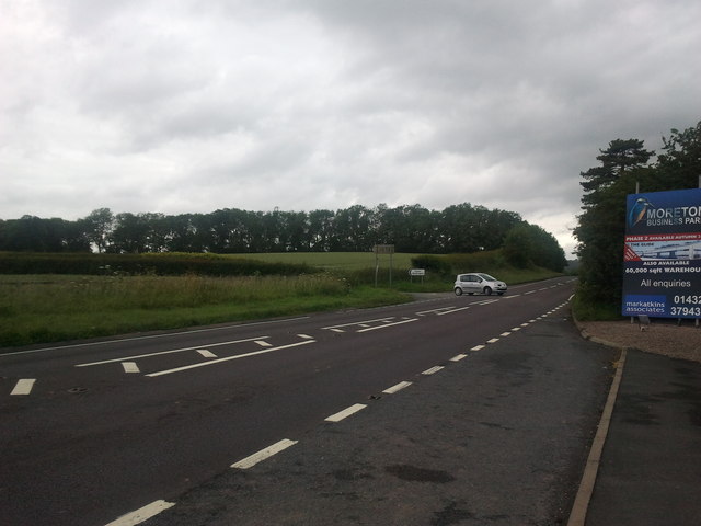
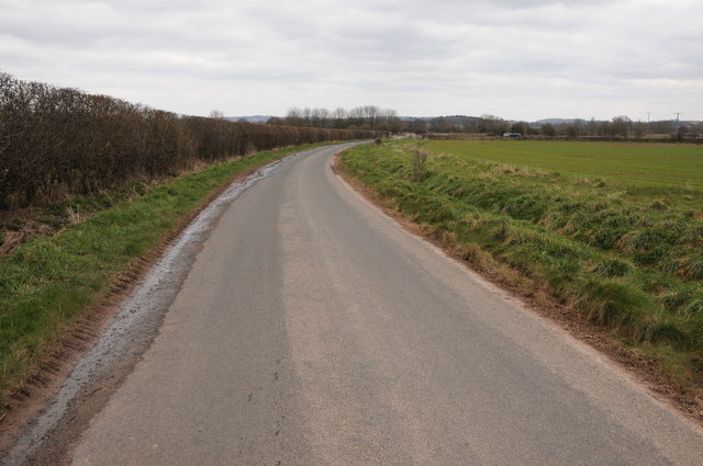
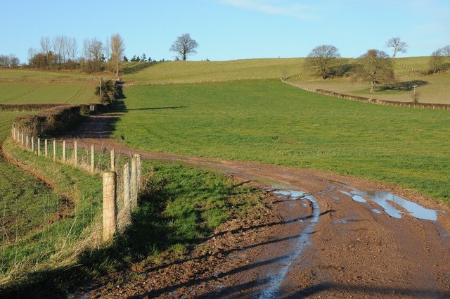
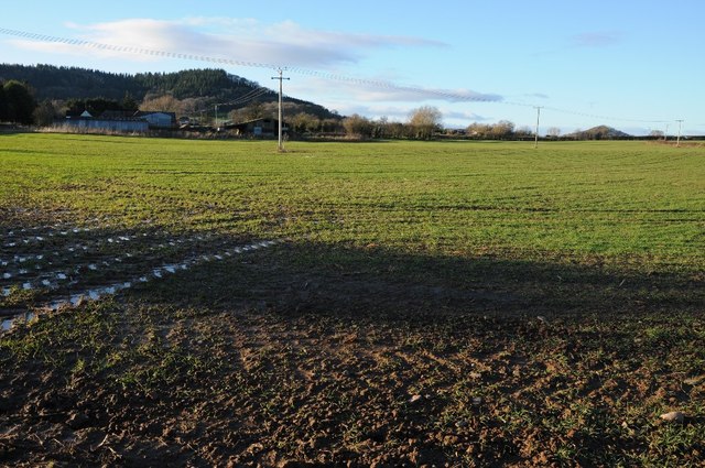
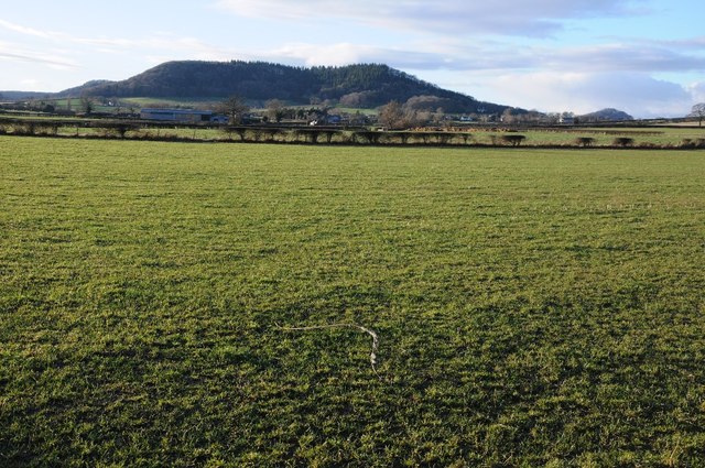
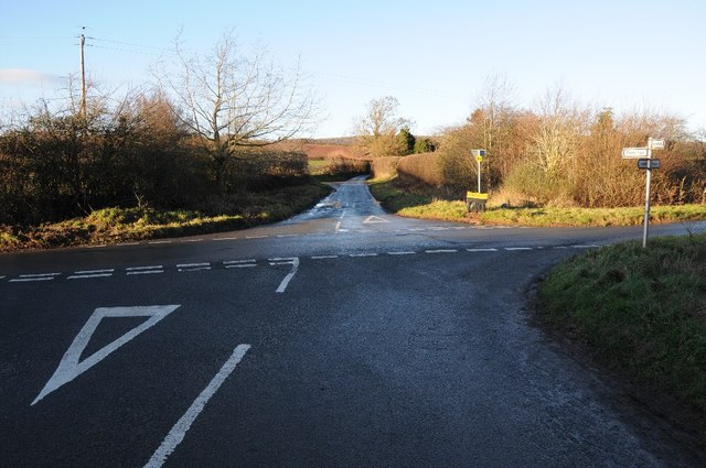
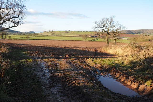
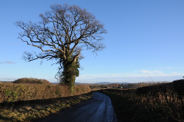
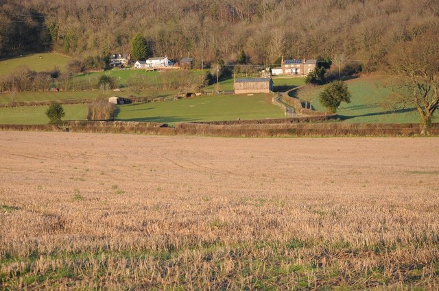
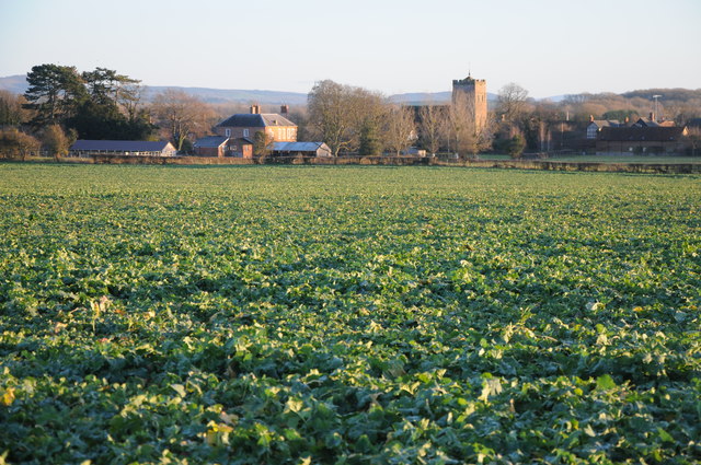
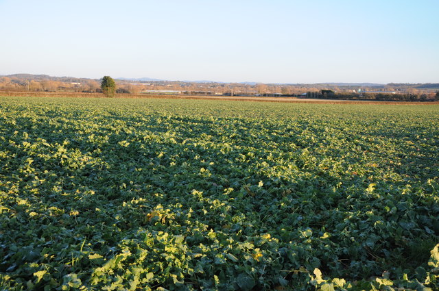
Auberrow Common is a picturesque expanse of land located in Herefordshire, England. Situated on the outskirts of the village of Auberrow, the common stretches over an area of approximately 500 acres. The landscape is characterized by rolling hills, verdant meadows, and scattered woodlands, creating a diverse and captivating environment.

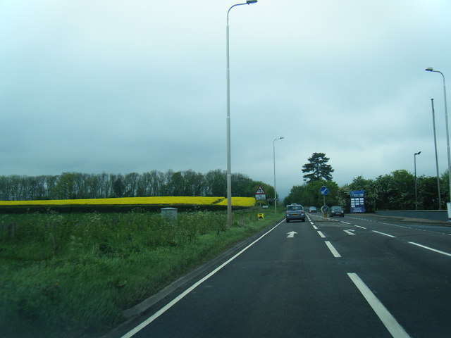
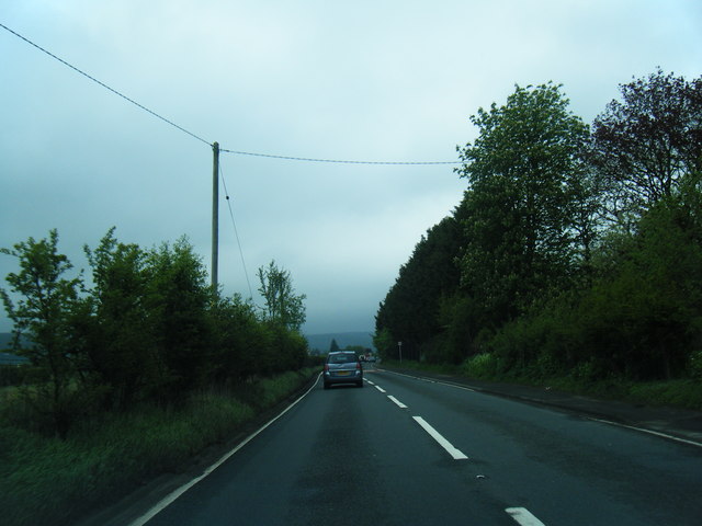
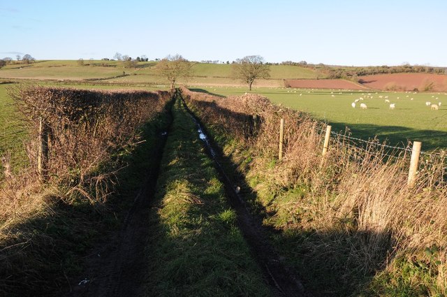
The common is predominantly composed of downs and moorland, offering a unique blend of vegetation and wildlife. The downs are characterized by gently sloping hills covered in a patchwork of grasses, heathers, and wildflowers. These open expanses provide a panoramic view of the surrounding countryside and are a popular spot for walkers and nature enthusiasts.

Moorland areas on the common are characterized by heathland and peat bogs, creating a distinct habitat for various plant and animal species. Heather, gorse, and bracken dominate the moorland vegetation, providing a vibrant display of colors throughout the seasons. This diverse landscape supports a wide range of wildlife, including birds such as skylarks, meadow pipits, and kestrels, as well as mammals like rabbits, badgers, and foxes.

The common is managed by the local council and is accessible to the public, offering numerous footpaths and trails for visitors to explore the area. Auberrow Common provides a tranquil and untouched natural environment, making it a popular destination for those seeking a peaceful retreat or a chance to connect with nature.

If you have any feedback on the listing, please let us know in the comments section below.

Auberrow Common Images

Images are sourced within 2km of 52.12185/-2.7386325 or Grid Reference SO4947. Thanks to Geograph Open Source API. All images are credited.

A49 near Moreton-on-Lugg, looking north
Herefordshire oast houses
A49 at Moreton Business Park
A49 at Wellington Marsh
Country road near Wellington Country road near Wellington to the west of the A49.
Country road near Wellington
Country road near Wellington to the west of the A49.
Bronze prize A young beech tree by the entrance to St. Donat's Farm.
In the distance is the wooded Dinmore ridge and the pointed Pyon Hill.
Bronze prize
A young beech tree by the entrance to St. Donat's Farm. In the distance is the wooded Dinmore ridge and the pointed Pyon Hill.
St. Donat's farm, Portway Converted oast house by the Canon Pyon Road north of Hereford.
St. Donat's farm, Portway
Converted oast house by the Canon Pyon Road north of Hereford.
Adzor Bank Adzor Bank viewed from the south; a trig point can be seen on the skyline.
Adzor Bank
Adzor Bank viewed from the south; a trig point can be seen on the skyline.
Arable land beside The Parks Arable land beside The Parks near Wellington.  Part of Nupton Hill can be seen in the background.
Arable land beside The Parks
Arable land beside The Parks near Wellington. Part of Nupton Hill can be seen in the background.
Farmland track Track giving access to farmland below Adzor Bank near Wellington.
Farmland track
Track giving access to farmland below Adzor Bank near Wellington.
Nupton Hill viewed from the east View across farmland to Nupton Hill from the east.
Nupton Hill viewed from the east
View across farmland to Nupton Hill from the east.
Crossroads at Auberrow Crossroads at Auberrow to the south of Wellington.
Crossroads at Auberrow
Crossroads at Auberrow to the south of Wellington.
Arable field above Wellington Marsh View across an arable field and farm land beyond to the west of the Wellington.
Arable field above Wellington Marsh
View across an arable field and farm land beyond to the west of the Wellington.
Road to the south of Auberrow Oak tree beside a country road to the south of Auberrow and the village of Wellington.
Road to the south of Auberrow
Oak tree beside a country road to the south of Auberrow and the village of Wellington.
Farmland near Portway The setting winter sun is casting shadows over the farmland in the foreground with the woods at Dinmore in the sun on the horizon.
Farmland near Portway
The setting winter sun is casting shadows over the farmland in the foreground with the woods at Dinmore in the sun on the horizon.
Houses below Wellington Wood
View to Wellington View to the village of Wellington from the north.
View to Wellington
View to the village of Wellington from the north.
Arable land at Wellington
Show me another place!

Auberrow Common is located at Grid Ref: SO4947 (Lat: 52.12185, Lng: -2.7386325)

Unitary Authority: County of Herefordshire

Police Authority: West Mercia

What 3 Words

///printouts.swim.tablets. Near Wellington, Herefordshire

Related Wikis

Wellington F.C. (Herefords)

Wellington Football Club are a football club based in the village of Wellington, Herefordshire, England. The club is affiliated to the Herefordshire County...

Wellington, Herefordshire

Wellington, a village in Herefordshire, England at grid reference SO494481 had a population of 1005 in the 2011 census .The village is sheltered by the...

Moreton on Lugg

Moreton on Lugg is a village and civil parish in Herefordshire, England. The city and county town of Hereford is approximately 3 miles (5 km) to the south...

Moreton-on-Lugg railway station

Moreton-on-Lugg railway station was a station in Moreton-on-Lugg, Herefordshire, England. The station was opened in 1853, closed to passengers in 1958...

Marden, Herefordshire

Marden is a village and civil parish in the English county of Herefordshire. Marden village is approximately 7 miles (11 km) due north of the city of Hereford...

Upper Lyde

Upper Lyde is a small village in Herefordshire, England, around 4 miles (6 km) north of Hereford city centre. It forms part of the Pipe and Lyde civil...

Burghill

Burghill is a village and civil parish in Herefordshire, England, north-west of Hereford. The parish includes the villages of Burghill, Tillington, Portway...

Dinmore Manor

Dinmore Manor House is a large rural house in a well-wooded, hilly part of Herefordshire in the least populous parish of the county, Dinmore. It was substantially...

Nearby Amenities

Located within 500m of 52.12185,-2.7386325
Bus Stop
Wellington Marsh
Local Ref: NK
Naptan AtcoCode: 2090A19806
Naptan Bearing: N
Naptan CommonName: Wellington Marsh
Naptan Indicator: NK
Naptan Landmark: o/s Shandon (name of house)
Naptan NaptanCode: heramjwm
Naptan Street: A49
Naptan Verified: no
Source: naptan_import
Lat/Long: 52.120481/-2.732162
Bus Stop
Wellington Marsh
Bench: no
Bin: no
Lit: no
Local Ref: NK
Naptan AtcoCode: 2090A19808
Naptan Bearing: S
Naptan CommonName: Wellington Marsh
Naptan Indicator: NK
Naptan Landmark: opp Greenacres (Name of House)
Naptan NaptanCode: heramjwp
Naptan Street: A49
Naptan Verified: no
Shelter: no
Source: naptan_import
Tactile Paving: no
Lat/Long: 52.1202753/-2.7319833
Building: yes
Lat/Long: 52.1200969/-2.7408031
Auberrow
Place: hamlet
Lat/Long: 52.1225874/-2.7422021
Wellington Marsh
Place: hamlet
Lat/Long: 52.1213094/-2.7328091
Generator Method: photovoltaic
Generator Output Electricity: yes
Generator Source: solar
Generator Type: solar_photovoltaic_panel
Location: roof
Power: generator
Lat/Long: 52.1238308/-2.7422744
Generator Method: photovoltaic
Generator Output Electricity: yes
Generator Source: solar
Generator Type: solar_photovoltaic_panel
Location: roof
Power: generator
Lat/Long: 52.1216225/-2.7338094
Generator Method: photovoltaic
Generator Output Electricity: yes
Generator Source: solar
Generator Type: solar_photovoltaic_panel
Location: roof
Power: generator
Lat/Long: 52.1209291/-2.7335385
Generator Method: photovoltaic
Generator Output Electricity: yes
Generator Source: solar
Generator Type: solar_photovoltaic_panel
Location: roof
Power: generator
Lat/Long: 52.1209012/-2.7329859
Barrier: stile
Source: Bing
Lat/Long: 52.1254148/-2.7403676
Barrier: stile
Lat/Long: 52.1195233/-2.7422862
The data included in this document is from www.openstreetmap.org. The data is made available under ODbL.

Have you been to Auberrow Common?

Leave your review of Auberrow Common below (or comments, questions and feedback).