Upper Eastwood

Settlement in Yorkshire

England

Upper Eastwood

Lobb Mill The Rochdale Canal locks to the right of view from Halifax Road
Lobb Mill Credit: Raymond Knapman

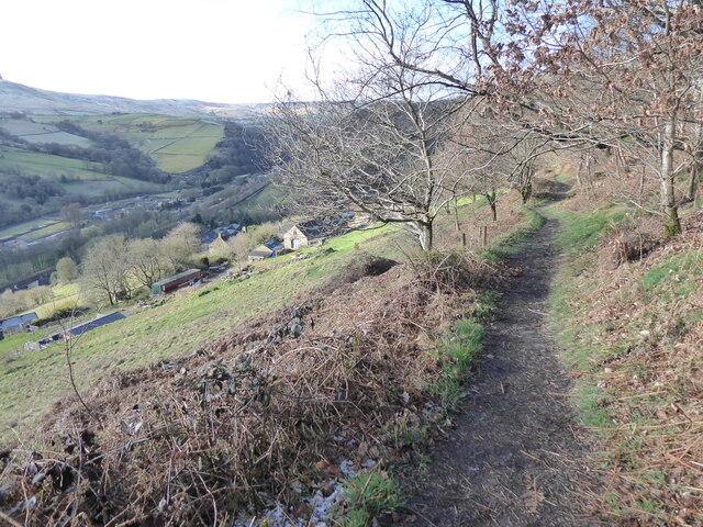
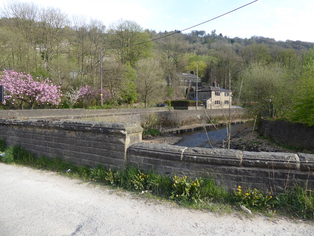
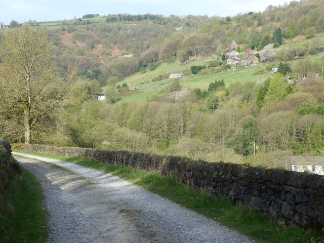
Upper Eastwood is a quaint village located in the county of Yorkshire, England. Nestled amidst the rolling hills and picturesque countryside, it is a serene and idyllic destination for both residents and visitors alike. Situated just a few miles away from the bustling town of Harrogate, Upper Eastwood offers a peaceful retreat from the urban hustle and bustle.

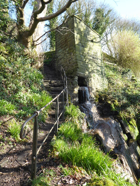
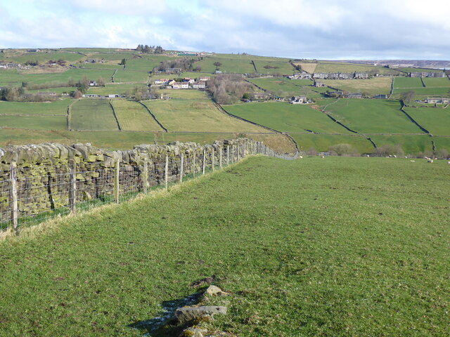
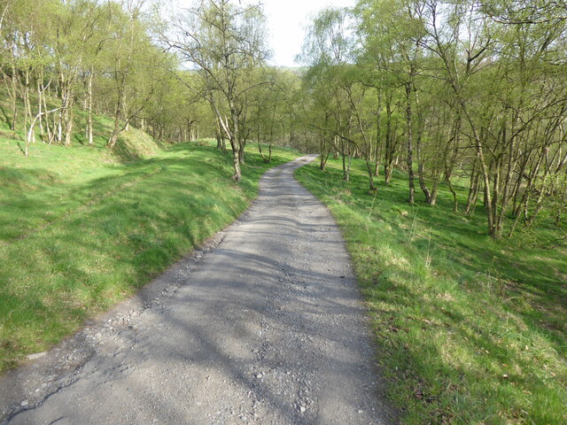
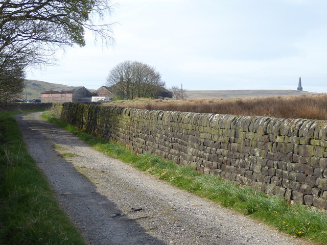
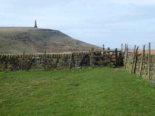
The village is characterized by its charming stone cottages, which exude a timeless charm and add to the overall aesthetic appeal of the area. The surrounding landscape is predominantly lush green fields, dotted with grazing sheep, and bordered by ancient woodlands. This makes Upper Eastwood a perfect getaway for nature enthusiasts and avid hikers, with several scenic trails that offer breathtaking views of the countryside.

Upper Eastwood is also home to a tight-knit community, known for its warmth and friendliness. The village has a small primary school, a local pub, and a community center that serves as a hub for various social activities and events. The residents take great pride in their village and actively participate in maintaining its beauty and preserving its heritage.

Despite its tranquil ambiance, Upper Eastwood is conveniently located near major transportation links, allowing easy access to nearby towns and cities. This makes it an ideal place for those seeking a peaceful lifestyle without compromising on modern amenities and conveniences.

Overall, Upper Eastwood is a delightful destination that offers a perfect blend of natural beauty, community spirit, and rural charm.

If you have any feedback on the listing, please let us know in the comments section below.

Upper Eastwood Images

Images are sourced within 2km of 53.73039/-2.0598496 or Grid Reference SD9626. Thanks to Geograph Open Source API. All images are credited.

Lobb Mill The Rochdale Canal locks to the right of view from Halifax Road
Lobb Mill
The Rochdale Canal locks to the right of view from Halifax Road
Rodwell End Clough View from Lobb Mill Viaduct
Rodwell End Clough
View from Lobb Mill Viaduct
Old Boundary Marker in Stoodley Glen, Calderdale Township Boundary Marker above Stoodley Glen and south of Stoodley Lane. Formerly on the boundary of Langfield and Sowerby townships in Halifax parish. It marked the boundary of the Sowerby Ramble, a narrow strip of land along the Calder valley and up Stoodley Glen between Erringden and Stansfield townships and Erringden and Langfield township. Sowerby Ramble was part of Sowerby township but in 1850 it became part of Erringden township, later parish. In 1897 Langfield and Stansfield became part of Todmorden parish and in 1937 this part of Erringden parish also became part of Todmorden parish. 

Milestone Society National ID: YW_LANSOW02pb
Old Boundary Marker in Stoodley Glen, Calderdale
Township Boundary Marker above Stoodley Glen and south of Stoodley Lane. Formerly on the boundary of Langfield and Sowerby townships in Halifax parish. It marked the boundary of the Sowerby Ramble, a narrow strip of land along the Calder valley and up Stoodley Glen between Erringden and Stansfield townships and Erringden and Langfield township. Sowerby Ramble was part of Sowerby township but in 1850 it became part of Erringden township, later parish. In 1897 Langfield and Stansfield became part of Todmorden parish and in 1937 this part of Erringden parish also became part of Todmorden parish. Milestone Society National ID: YW_LANSOW02pb
Old Boundary Marker in Stoodley Glen, Calderdale Parish Boundary Marker in Stoodley Glen below Height Wood. Formerly on the boundary of Langfield and Sowerby townships in Halifax parish. It marked the boundary of the Sowerby Ramble, a narrow strip of land along the Calder valley and up Stoodley Glen between Erringden and Stansfield townships and Erringden and Langfield township. Sowerby Ramble was part of Sowerby township but in 1850 it became part of Erringden township, later parish. In 1897 Langfield and Stansfield became part of Todmorden parish and in 1937 this part of Erringden parish also became part of Todmorden parish..

Milestone Society National ID: YW_SOWERR01pb
Old Boundary Marker in Stoodley Glen, Calderdale
Parish Boundary Marker in Stoodley Glen below Height Wood. Formerly on the boundary of Langfield and Sowerby townships in Halifax parish. It marked the boundary of the Sowerby Ramble, a narrow strip of land along the Calder valley and up Stoodley Glen between Erringden and Stansfield townships and Erringden and Langfield township. Sowerby Ramble was part of Sowerby township but in 1850 it became part of Erringden township, later parish. In 1897 Langfield and Stansfield became part of Todmorden parish and in 1937 this part of Erringden parish also became part of Todmorden parish.. Milestone Society National ID: YW_SOWERR01pb
Old Boundary Marker Estate Boundary Marker set in a stone wall on Matthew Lane, a green lane. In the former Stansfield township and parish, absorbed into Todmorden parish in 1897. Not on any township or parish boundary so is thought to mark an estate boundary.

Milestone Society National ID: YW_TOD10em
Old Boundary Marker
Estate Boundary Marker set in a stone wall on Matthew Lane, a green lane. In the former Stansfield township and parish, absorbed into Todmorden parish in 1897. Not on any township or parish boundary so is thought to mark an estate boundary. Milestone Society National ID: YW_TOD10em
Old Boundary Marker on Baulk Head Lane, Todmorden Estate Boundary Marker set in a stone wall on Baulk Head Lane, a green lane. In the former Stansfield township and parish, absorbed into Todmorden parish in 1897. Not on any township or parish boundary so is thought to mark an estate boundary.

Milestone Society National ID: YW_TOD11em
Old Boundary Marker on Baulk Head Lane, Todmorden
Estate Boundary Marker set in a stone wall on Baulk Head Lane, a green lane. In the former Stansfield township and parish, absorbed into Todmorden parish in 1897. Not on any township or parish boundary so is thought to mark an estate boundary. Milestone Society National ID: YW_TOD11em
The Pennine Way and Bridleway crossing the A646
The Pennine Way leaving the A646
The Pennine Way near Higher Underbank Farm
The Pennine Way near Knott Wood
The Pennine Way near Badger Fields Farm
The Pennine Way on Pry Hill
The Pennine Way near the A646
The Pennine Way near Callis Wood
The Pennine Way in Callis Wood
The Pennine Way near Lower Rough Head
The Pennine Way near Kershaw Farm
Show me another place!

Upper Eastwood is located at Grid Ref: SD9626 (Lat: 53.73039, Lng: -2.0598496)

Division: West Riding

Unitary Authority: Calderdale

Police Authority: West Yorkshire

What 3 Words

///cuter.polishing.magpie. Near Todmorden, West Yorkshire

Related Wikis

Eastwood, West Yorkshire

Eastwood is a place within the civil parish of Todmorden and Metropolitan Borough of Calderdale, in West Yorkshire, England. It lies 8 miles (12.9 km)...

Eastwood (L&Y) railway station

Eastwood Railway Station served the village of Eastwood in the civil parish of Todmorden, West Yorkshire, England. The station opened with the line on...

South Pennines Regional Park

The South Pennines Regional Park (or South Pennines Park) is a proposed national park that would cover the South Pennines area in Northern England, encompassing...

Stoodley Pike

Stoodley Pike is a 1,300-foot (400 m) hill in the south Pennines in West Yorkshire in northern England. It is noted for the 121-foot (37 m) Stoodley Pike...

Blackshaw

Blackshaw is a civil parish in the Calderdale metropolitan borough of West Yorkshire, England. It contains the village of Blackshaw Head. According to...

Colden, West Yorkshire

Colden is a hamlet in the civil parish of Heptonstall in Calderdale, West Yorkshire, England. Historically part of the West Riding of Yorkshire, the hamlet...

Stansfield Hall railway station

Stansfield Hall railway station (English: ) was the second station in Stansfield, Todmorden in West Yorkshire, England and was situated on the Copy Pit...

Mankinholes

Mankinholes is a hamlet in the Metropolitan Borough of Calderdale, in West Yorkshire, England. It is situated in the Pennines and the nearest town is Todmorden...

Nearby Amenities

Located within 500m of 53.73039,-2.0598496
Great Rock
Tourism: viewpoint
Lat/Long: 53.7332441/-2.0622828
Natural: spring
Lat/Long: 53.7274891/-2.0609524
Man Made: manhole
Manhole: drain
Operator: East Lee Farm
Lat/Long: 53.7274839/-2.0609503
Power: pole
Lat/Long: 53.7315937/-2.0577613
Power: pole
Lat/Long: 53.7307083/-2.0589253
Power: pole
Lat/Long: 53.7297848/-2.0601189
Power: pole
Lat/Long: 53.729258/-2.0606715
Power: pole
Lat/Long: 53.7287264/-2.061165
Power: pole
Lat/Long: 53.728117/-2.0617819
Power: pole
Lat/Long: 53.7277457/-2.0621333
Power: pole
Lat/Long: 53.7273442/-2.0625141
Power: pole
Lat/Long: 53.7266603/-2.0631927
Power: pole
Lat/Long: 53.7268079/-2.061912
Power: pole
Lat/Long: 53.7275148/-2.0616759
Power: pole
Lat/Long: 53.7283717/-2.0614171
Power: pole
Lat/Long: 53.7292215/-2.0611516
Power: pole
Lat/Long: 53.7300672/-2.0609129
Power: pole
Lat/Long: 53.73084/-2.0606446
Power: pole
Lat/Long: 53.7315413/-2.0604274
Power: pole
Lat/Long: 53.7320982/-2.0602959
Power: pole
Lat/Long: 53.7328186/-2.0600572
Power: pole
Lat/Long: 53.7334691/-2.0598453
Power: pole
Lat/Long: 53.734172/-2.0592673
Crossing Barrier: no
Crossing Bell: no
Railway: crossing
Lat/Long: 53.7273589/-2.0543128
Crossing Barrier: no
Crossing Bell: no
Railway: crossing
Lat/Long: 53.7273821/-2.0543778
The data included in this document is from www.openstreetmap.org. The data is made available under ODbL.

Have you been to Upper Eastwood?

Leave your review of Upper Eastwood below (or comments, questions and feedback).