Staups Dam

Lake, Pool, Pond, Freshwater Marsh in Yorkshire

England

Staups Dam

Clapper Bridge Bridge now repaired after collapse some time ago.
Clapper Bridge Credit: Stephen Shaw

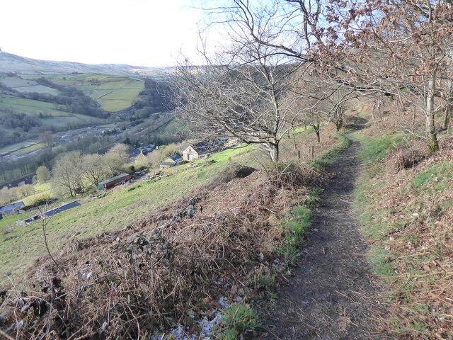
Staups Dam, located in Yorkshire, England, is a freshwater reservoir that serves various purposes for the local community. With its serene surroundings and picturesque views, it has become a popular spot for leisure activities and nature enthusiasts.

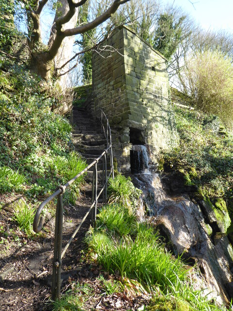
Covering an area of approximately X hectares, Staups Dam is a man-made lake that was created in the early Xth century to provide a reliable water supply for the nearby towns and villages. It is fed by several small streams and springs, ensuring a constant flow of freshwater throughout the year. The dam itself is made of concrete and stone, standing at a height of around X meters.

The lake offers a range of recreational activities for visitors. Fishing is a common pastime here, with the reservoir being home to various species of fish, including trout and pike. There are designated fishing areas and permits available for enthusiasts. Additionally, the calm waters of the lake attract kayakers and canoeists who can explore its nooks and crannies.

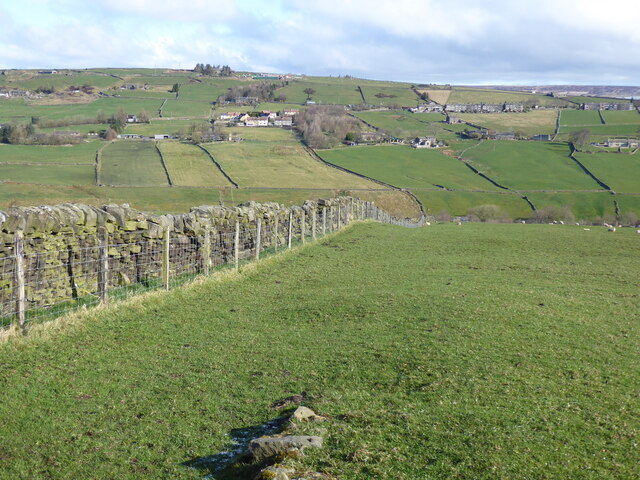
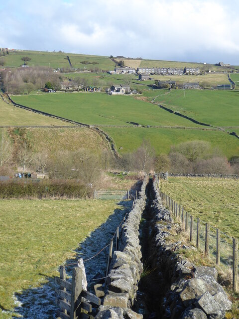
Surrounded by lush greenery, Staups Dam also acts as a haven for wildlife. It is home to a diverse range of bird species, making it a popular destination for birdwatching. The surrounding area is a mix of woodland and grassy banks, providing habitats for mammals, such as deer and rabbits.

Staups Dam is easily accessible, with parking facilities and footpaths leading to the reservoir. It offers a peaceful escape from the hustle and bustle of city life, allowing visitors to reconnect with nature and enjoy the tranquility of the countryside.

If you have any feedback on the listing, please let us know in the comments section below.
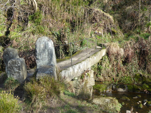
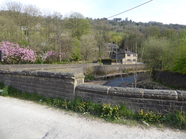
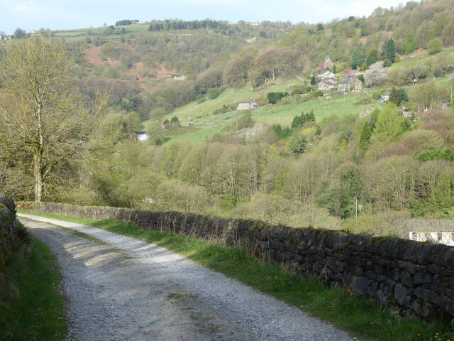
Staups Dam Images

Images are sourced within 2km of 53.734281/-2.0614165 or Grid Reference SD9626. Thanks to Geograph Open Source API. All images are credited.

Clapper Bridge Bridge now repaired after collapse some time ago.
Clapper Bridge
Bridge now repaired after collapse some time ago.
Lobb Mill The Rochdale Canal locks to the right of view from Halifax Road
Lobb Mill
The Rochdale Canal locks to the right of view from Halifax Road
Rodwell End Clough View from Lobb Mill Viaduct
Rodwell End Clough
View from Lobb Mill Viaduct
Old Boundary Marker in Stoodley Glen, Calderdale Township Boundary Marker above Stoodley Glen and south of Stoodley Lane. Formerly on the boundary of Langfield and Sowerby townships in Halifax parish. It marked the boundary of the Sowerby Ramble, a narrow strip of land along the Calder valley and up Stoodley Glen between Erringden and Stansfield townships and Erringden and Langfield township. Sowerby Ramble was part of Sowerby township but in 1850 it became part of Erringden township, later parish. In 1897 Langfield and Stansfield became part of Todmorden parish and in 1937 this part of Erringden parish also became part of Todmorden parish. 

Milestone Society National ID: YW_LANSOW02pb
Old Boundary Marker in Stoodley Glen, Calderdale
Township Boundary Marker above Stoodley Glen and south of Stoodley Lane. Formerly on the boundary of Langfield and Sowerby townships in Halifax parish. It marked the boundary of the Sowerby Ramble, a narrow strip of land along the Calder valley and up Stoodley Glen between Erringden and Stansfield townships and Erringden and Langfield township. Sowerby Ramble was part of Sowerby township but in 1850 it became part of Erringden township, later parish. In 1897 Langfield and Stansfield became part of Todmorden parish and in 1937 this part of Erringden parish also became part of Todmorden parish. Milestone Society National ID: YW_LANSOW02pb
Old Boundary Marker in Stoodley Glen, Calderdale Parish Boundary Marker in Stoodley Glen below Height Wood. Formerly on the boundary of Langfield and Sowerby townships in Halifax parish. It marked the boundary of the Sowerby Ramble, a narrow strip of land along the Calder valley and up Stoodley Glen between Erringden and Stansfield townships and Erringden and Langfield township. Sowerby Ramble was part of Sowerby township but in 1850 it became part of Erringden township, later parish. In 1897 Langfield and Stansfield became part of Todmorden parish and in 1937 this part of Erringden parish also became part of Todmorden parish..

Milestone Society National ID: YW_SOWERR01pb
Old Boundary Marker in Stoodley Glen, Calderdale
Parish Boundary Marker in Stoodley Glen below Height Wood. Formerly on the boundary of Langfield and Sowerby townships in Halifax parish. It marked the boundary of the Sowerby Ramble, a narrow strip of land along the Calder valley and up Stoodley Glen between Erringden and Stansfield townships and Erringden and Langfield township. Sowerby Ramble was part of Sowerby township but in 1850 it became part of Erringden township, later parish. In 1897 Langfield and Stansfield became part of Todmorden parish and in 1937 this part of Erringden parish also became part of Todmorden parish.. Milestone Society National ID: YW_SOWERR01pb
Old Boundary Marker Estate Boundary Marker set in a stone wall on Matthew Lane, a green lane. In the former Stansfield township and parish, absorbed into Todmorden parish in 1897. Not on any township or parish boundary so is thought to mark an estate boundary.

Milestone Society National ID: YW_TOD10em
Old Boundary Marker
Estate Boundary Marker set in a stone wall on Matthew Lane, a green lane. In the former Stansfield township and parish, absorbed into Todmorden parish in 1897. Not on any township or parish boundary so is thought to mark an estate boundary. Milestone Society National ID: YW_TOD10em
Old Boundary Marker on Baulk Head Lane, Todmorden Estate Boundary Marker set in a stone wall on Baulk Head Lane, a green lane. In the former Stansfield township and parish, absorbed into Todmorden parish in 1897. Not on any township or parish boundary so is thought to mark an estate boundary.

Milestone Society National ID: YW_TOD11em
Old Boundary Marker on Baulk Head Lane, Todmorden
Estate Boundary Marker set in a stone wall on Baulk Head Lane, a green lane. In the former Stansfield township and parish, absorbed into Todmorden parish in 1897. Not on any township or parish boundary so is thought to mark an estate boundary. Milestone Society National ID: YW_TOD11em
The Pennine Way and Bridleway crossing the A646
The Pennine Way leaving the A646
The Pennine Way near Higher Underbank Farm
The Pennine Way near Knott Wood
The Pennine Way near Badger Fields Farm
The Pennine Way on Pry Hill
The Pennine Way descending Pry Hill
The Pennine Way crossing Colden Water
The Pennine Way near the A646
The Pennine Way near Callis Wood
Show me another place!

Staups Dam is located at Grid Ref: SD9626 (Lat: 53.734281, Lng: -2.0614165)

Division: West Riding

Unitary Authority: Calderdale

Police Authority: West Yorkshire

What 3 Words

///leaky.delved.master. Near Todmorden, West Yorkshire

Related Wikis

South Pennines Regional Park

The South Pennines Regional Park (or South Pennines Park) is a proposed national park that would cover the South Pennines area in Northern England, encompassing...

Eastwood (L&Y) railway station

Eastwood Railway Station served the village of Eastwood in the civil parish of Todmorden, West Yorkshire, England. The station opened with the line on...

Eastwood, West Yorkshire

Eastwood is a place within the civil parish of Todmorden and Metropolitan Borough of Calderdale, in West Yorkshire, England. It lies 8 miles (12.9 km)...

Blackshaw

Blackshaw is a civil parish in the Calderdale metropolitan borough of West Yorkshire, England. It contains the village of Blackshaw Head. According to...

Colden, West Yorkshire

Colden is a hamlet in the civil parish of Heptonstall in Calderdale, West Yorkshire, England. Historically part of the West Riding of Yorkshire, the hamlet...

Stoodley Pike

Stoodley Pike is a 1,300-foot (400 m) hill in the south Pennines in West Yorkshire in northern England. It is noted for the 121-foot (37 m) Stoodley Pike...

Heptonstall

Heptonstall is a small village and civil parish within the Calderdale borough of West Yorkshire, England, historically part of the West Riding of Yorkshire...

Stansfield Hall railway station

Stansfield Hall railway station (English: ) was the second station in Stansfield, Todmorden in West Yorkshire, England and was situated on the Copy Pit...

Nearby Amenities

Located within 500m of 53.734281,-2.0614165
Great Rock
Tourism: viewpoint
Lat/Long: 53.7332441/-2.0622828
Power: pole
Lat/Long: 53.7315937/-2.0577613
Power: pole
Lat/Long: 53.7307083/-2.0589253
Power: pole
Lat/Long: 53.7300672/-2.0609129
Power: pole
Lat/Long: 53.73084/-2.0606446
Power: pole
Lat/Long: 53.7315413/-2.0604274
Power: pole
Lat/Long: 53.7320982/-2.0602959
Power: pole
Lat/Long: 53.7328186/-2.0600572
Power: pole
Lat/Long: 53.7334691/-2.0598453
Power: pole
Lat/Long: 53.734172/-2.0592673
Power: pole
Lat/Long: 53.7359355/-2.0578042
Power: pole
Lat/Long: 53.7365542/-2.0572677
The data included in this document is from www.openstreetmap.org. The data is made available under ODbL.

Have you been to Staups Dam?

Leave your review of Staups Dam below (or comments, questions and feedback).