Tommy Wood
Wood, Forest in Yorkshire
England
Tommy Wood

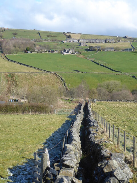
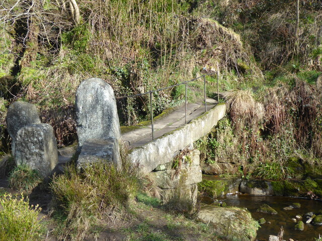
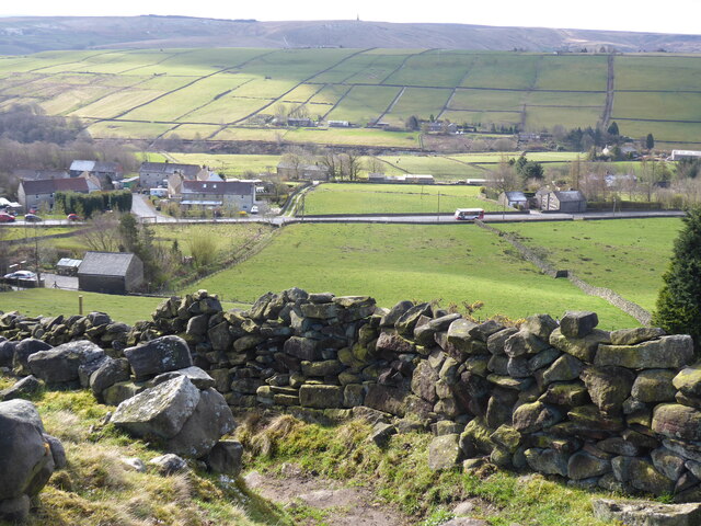
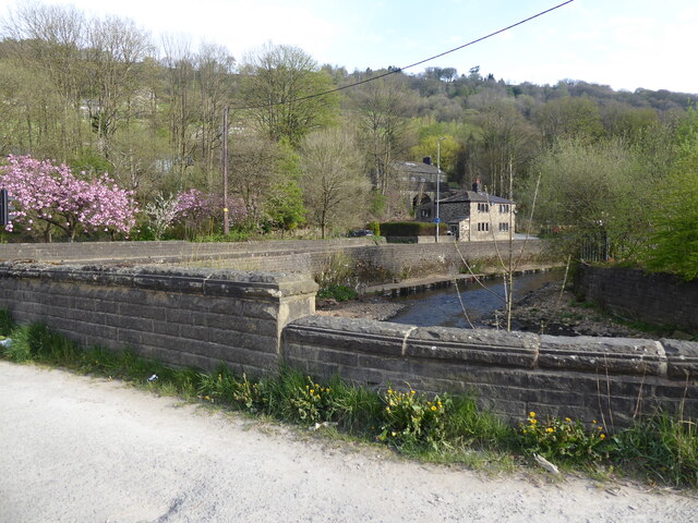
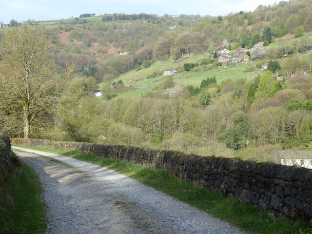
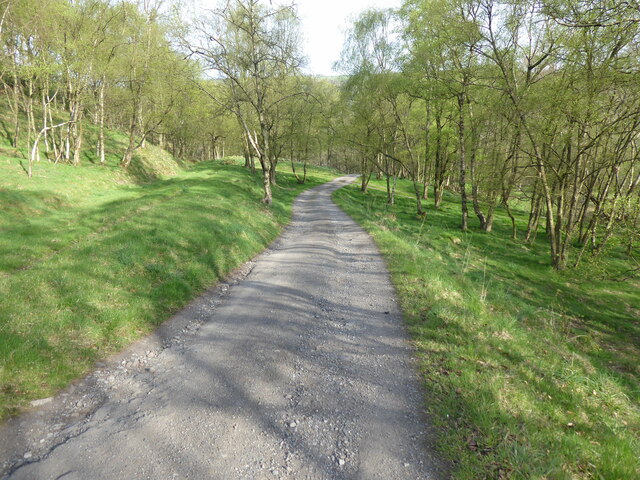
Tommy Wood is a small woodland area located in Yorkshire, England. It is part of the larger Yorkshire Dales National Park and is known for its natural beauty and diverse wildlife. The wood is situated in a rural and picturesque setting, surrounded by rolling hills and meandering streams.
Covering an approximate area of 100 acres, Tommy Wood is predominantly made up of oak and beech trees, with some birch and ash trees scattered throughout. The dense canopy provides a cool and shaded environment, perfect for exploring on hot summer days. The forest floor is covered in a thick layer of moss, ferns, and wildflowers, creating a vibrant and enchanting atmosphere.
Tommy Wood is home to a variety of wildlife species. Visitors may encounter deer, foxes, badgers, and a wide range of bird species, including woodpeckers, owls, and songbirds. The wood is also a haven for insect life, with butterflies, beetles, and dragonflies being particularly abundant.
The wood offers several trails and footpaths, allowing visitors to explore its beauty at their own pace. There are picnic areas and benches strategically placed throughout the wood, providing opportunities for relaxation and enjoying the peaceful surroundings. Tommy Wood is also a popular spot for nature enthusiasts, photographers, and artists, who are drawn to its natural charm and tranquility.
Overall, Tommy Wood is a hidden gem within the Yorkshire Dales National Park, offering visitors a chance to immerse themselves in nature and escape the hustle and bustle of everyday life.
If you have any feedback on the listing, please let us know in the comments section below.
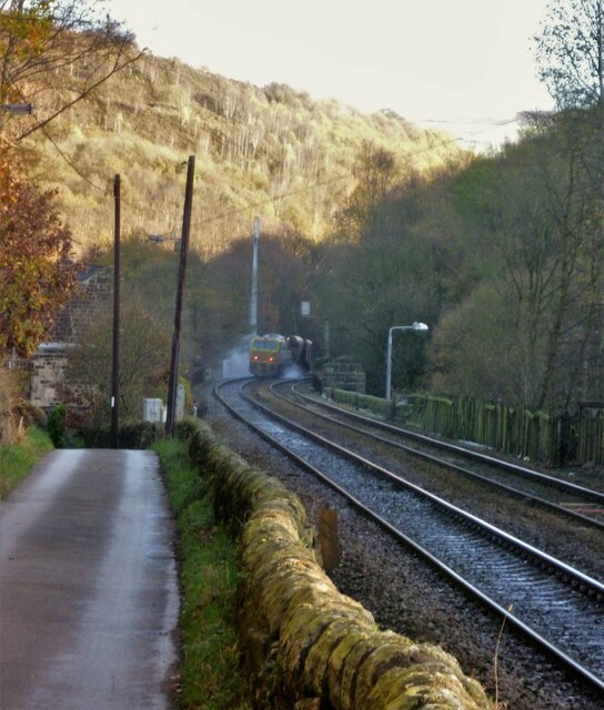
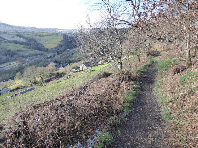
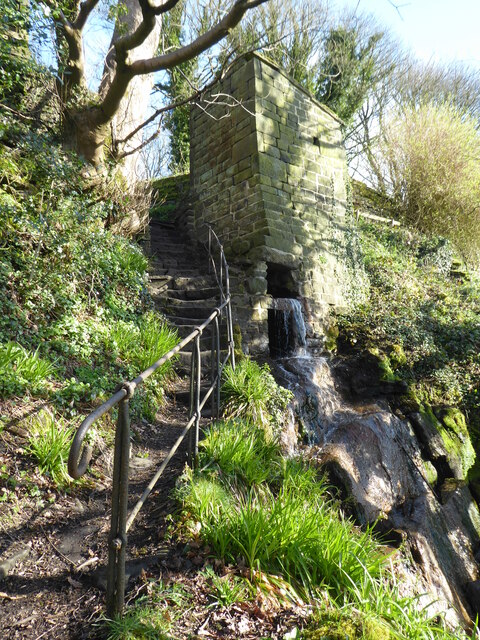
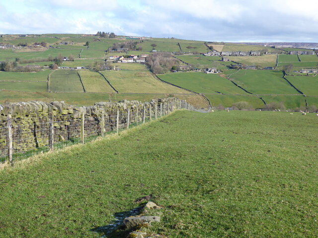
Tommy Wood Images
Images are sourced within 2km of 53.739269/-2.0609842 or Grid Reference SD9626. Thanks to Geograph Open Source API. All images are credited.


Tommy Wood is located at Grid Ref: SD9626 (Lat: 53.739269, Lng: -2.0609842)
Division: West Riding
Unitary Authority: Calderdale
Police Authority: West Yorkshire
What 3 Words
///unfocused.widely.resembles. Near Hebden Bridge, West Yorkshire
Nearby Locations
Related Wikis

South Pennines Regional Park
The South Pennines Regional Park (or South Pennines Park) is a proposed national park that would cover the South Pennines area in Northern England, encompassing...

Eastwood (L&Y) railway station
Eastwood Railway Station served the village of Eastwood in the civil parish of Todmorden, West Yorkshire, England. The station opened with the line on...

Eastwood, West Yorkshire
Eastwood is a place within the civil parish of Todmorden and Metropolitan Borough of Calderdale, in West Yorkshire, England. It lies 8 miles (12.9 km)...

Blackshaw
Blackshaw is a civil parish in the Calderdale metropolitan borough of West Yorkshire, England. It contains the village of Blackshaw Head. According to...

Colden, West Yorkshire
Colden is a hamlet in the civil parish of Heptonstall in Calderdale, West Yorkshire, England. Historically part of the West Riding of Yorkshire, the hamlet...

Heptonstall
Heptonstall is a small village and civil parish within the Calderdale borough of West Yorkshire, England, historically part of the West Riding of Yorkshire...

Hepton Rural District
Hepton was a rural district in the West Riding of Yorkshire, England, from 1894 to 1974. The district included four civil parishes: Heptonstall, Blackshaw...

Stoodley Pike
Stoodley Pike is a 1,300-foot (400 m) hill in the south Pennines in West Yorkshire in northern England. It is noted for the 121-foot (37 m) Stoodley Pike...
Related Videos

Scotland, Ireland, England: Student Travel
Check out our high school trip to Scotland, Ireland, and England! Teachers, find out how you can go on amazing trips like this for ...

Adventuring Across England and Wales | Spring 2019
Finally sharing our England and Wales trip from spring of last year. It was an exhilarating experience, and I look forward to going ...

A warm welcome to 4 season backpacking
A warm welcome to everyone. My channel is for you guys. I make these videos for free for your entertainment and maybe we can ...

TRAVELING AROUND THE WORLD: Great Britain & Ireland 2018
3 weeks on the road with my girlfriend in Great Britain and Ireland, spending the nights in the most beautiful Airbnbs. We were in ...
Nearby Amenities
Located within 500m of 53.739269,-2.0609842Have you been to Tommy Wood?
Leave your review of Tommy Wood below (or comments, questions and feedback).