Horse Coppice

Wood, Forest in Dorset

England

Horse Coppice

Tarrant Monkton, sheep grazing In the background, trees lining the Tarrant.
Tarrant Monkton, sheep grazing Credit: Mike Faherty

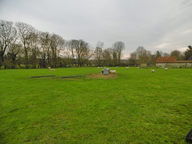
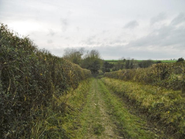
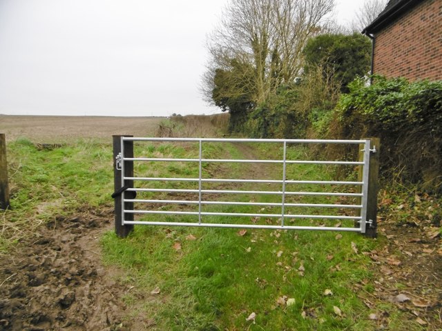
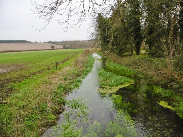
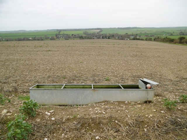
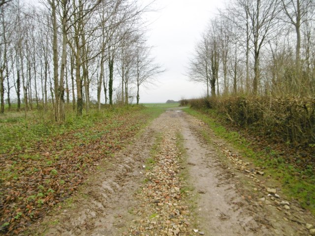
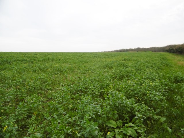
Horse Coppice is a picturesque woodland located in the county of Dorset, England. Covering an area of approximately 50 hectares, it is a popular destination for nature enthusiasts and hikers alike. The woodland is situated near the village of Bere Regis, nestled within the rolling hills of the Dorset countryside.

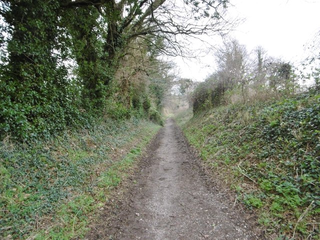
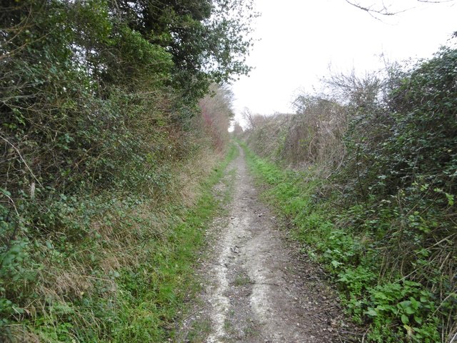
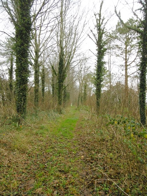
Horse Coppice is predominantly composed of oak and beech trees, with the occasional presence of holly, birch, and hazel. The dense canopy created by these trees provides ample shade and a cool, tranquil atmosphere, making it an ideal spot for a peaceful walk or a picnic.

The woodland is home to a diverse range of wildlife, with various bird species such as woodpeckers, owls, and warblers often spotted among the treetops. Deer, foxes, and badgers can also be observed roaming the forest floor, adding to the area's natural charm and beauty.

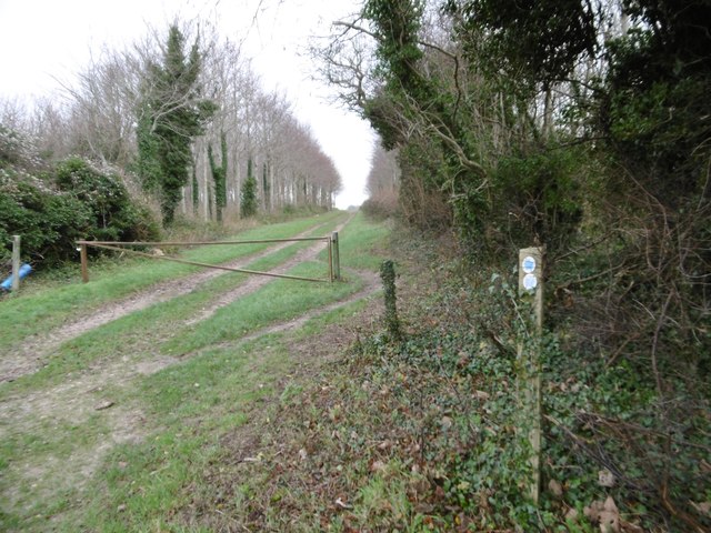
Trails and footpaths wind their way through the woodland, allowing visitors to explore the area at their own pace. These paths are well-maintained and provide a safe and enjoyable experience for visitors of all ages.

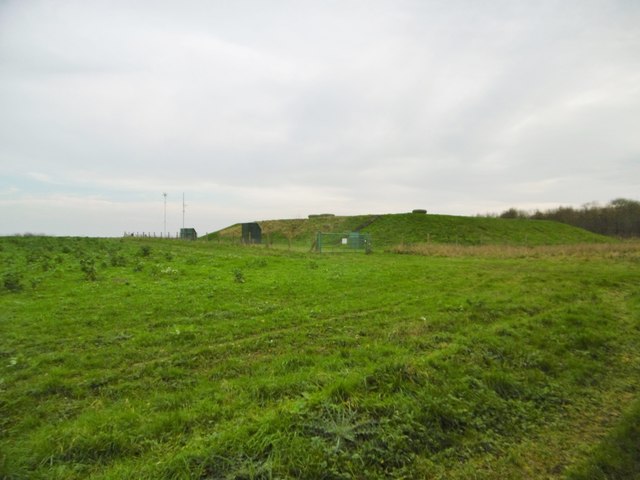
Horse Coppice is managed by the Forestry Commission, ensuring the preservation and sustainable use of this natural resource. The commission periodically carries out conservation work, including tree thinning and planting, to maintain the health and diversity of the woodland.

Overall, Horse Coppice offers a tranquil retreat from the hustle and bustle of everyday life, providing visitors with the opportunity to connect with nature and enjoy the beauty of the Dorset countryside.

If you have any feedback on the listing, please let us know in the comments section below.

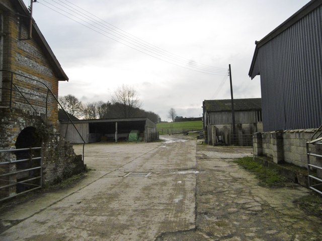
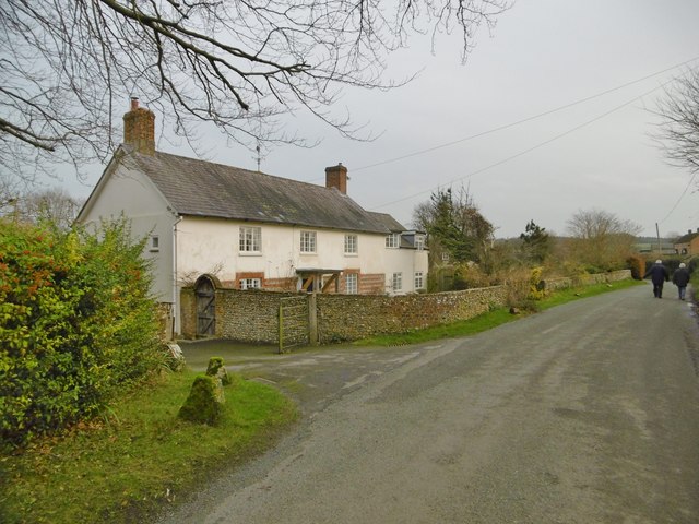
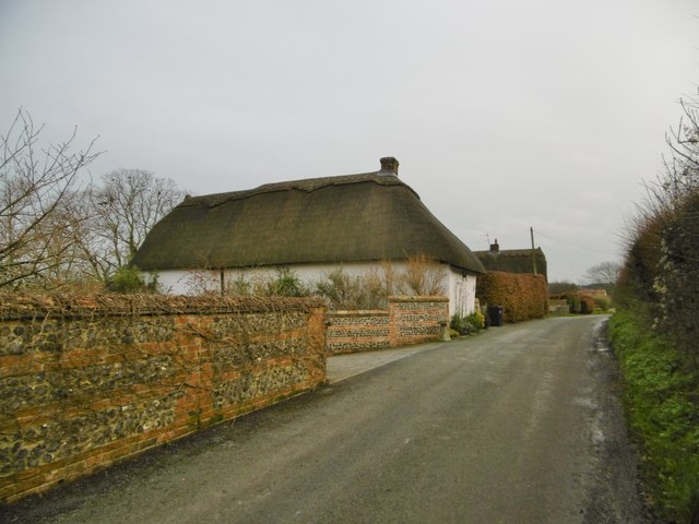
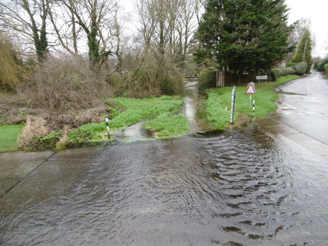
Horse Coppice Images

Images are sourced within 2km of 50.878851/-2.057159 or Grid Reference ST9608. Thanks to Geograph Open Source API. All images are credited.

Tarrant Monkton, sheep grazing In the background, trees lining the Tarrant.
Tarrant Monkton, sheep grazing
In the background, trees lining the Tarrant.
Tarrant Monkton, Common Drove Former drove road from downland to the village; now a restricted byway.
Tarrant Monkton, Common Drove
Former drove road from downland to the village; now a restricted byway.
Tarrant Monkton, gate At the beginning of Common Drove, a restricted byway from the village to downland.
Tarrant Monkton, gate
At the beginning of Common Drove, a restricted byway from the village to downland.
Tarrant Monkton, the Tarrant Looking downstream at a chalk river/stream that rises in Tarrant Gunville, and joins the Stour at Tarrant Crawford.
Tarrant Monkton, the Tarrant
Looking downstream at a chalk river/stream that rises in Tarrant Gunville, and joins the Stour at Tarrant Crawford.
Tarrant Monkton, Manor Farm
Tarrant Monkton, Bay Farmhouse Early C19 farmhouse, listed by English Heritage: <span class="nowrap"><a title="http://www.imagesofengland.org.uk/Details/Default.aspx?id=103715&mode=adv" rel="nofollow ugc noopener" href="http://www.imagesofengland.org.uk/Details/Default.aspx?id=103715&mode=adv">Link</a><img style="margin-left:2px;" alt="External link" title="External link - shift click to open in new window" src="https://s1.geograph.org.uk/img/external.png" width="10" height="10"/></span>
Tarrant Monkton, Bay Farmhouse
Early C19 farmhouse, listed by English Heritage: LinkExternal link
Tarrant Monkton, Orchard Cottage Cob and thatch cottage; like many in the village, end-on to the road.
Tarrant Monkton, Orchard Cottage
Cob and thatch cottage; like many in the village, end-on to the road.
Tarrant Monkton, ford Carrying a village street across the Tarrant; footbridge to the right.
Tarrant Monkton, ford
Carrying a village street across the Tarrant; footbridge to the right.
Tarrant Monkton, the Tarrant Looking upstream at a chalk river/stream that rises in Tarrant Gunville, and joins the Stour at Tarrant Crawford.
Tarrant Monkton, the Tarrant
Looking upstream at a chalk river/stream that rises in Tarrant Gunville, and joins the Stour at Tarrant Crawford.
Tarrant Monkton, Turner's Lane Byway and farm road from the village to downland.
Tarrant Monkton, Turner's Lane
Byway and farm road from the village to downland.
Tarrant Monkton, Turner's Lane Byway and farm road from the village to downland.
Tarrant Monkton, Turner's Lane
Byway and farm road from the village to downland.
Tarrant Monkton, trough Currently disused, as it is in a stubble field; looking down the Tarrant Valley towards the village.
Tarrant Monkton, trough
Currently disused, as it is in a stubble field; looking down the Tarrant Valley towards the village.
Tarrant Monkton, marker Ahead, the bridleway towards Launceston Down.
Tarrant Monkton, marker
Ahead, the bridleway towards Launceston Down.
Long Crichel, bridleway Through Launceston Wood, towards Launceston Down.
Long Crichel, bridleway
Through Launceston Wood, towards Launceston Down.
Long Crichel, reservoir
Long Crichel, rape field Some plants are already in flower, despite the season.
Long Crichel, rape field
Some plants are already in flower, despite the season.
Long Crichel, bridleway junction Ahead, to Launceston Down; right, towards Woodlands.
Long Crichel, bridleway junction
Ahead, to Launceston Down; right, towards Woodlands.
Long Crichel, track Through a strip of woodland.
Long Crichel, track
Through a strip of woodland.
Show me another place!

Horse Coppice is located at Grid Ref: ST9608 (Lat: 50.878851, Lng: -2.057159)

Unitary Authority: Dorset

Police Authority: Dorset

What 3 Words

///outlooks.into.folk. Near Pimperne, Dorset

Related Wikis

Tarrant Monkton

Tarrant Monkton is a village and civil parish in north Dorset, England, situated in the Tarrant Valley about four miles (six kilometres) east-northeast...

Tarrant Launceston

Tarrant Launceston is a small village and civil parish in north Dorset, England, situated in the Tarrant Valley 5 miles (8 kilometres) northeast of Blandford...

Long Crichel

Long Crichel () is a small village and former civil parish, now in the parish of Crichel, in east Dorset, England, situated on Cranborne Chase five miles...

St Mary's Church, Long Crichel

St Mary's Church is in the village of Long Crichel, Dorset, England. It is a redundant Anglican parish church that has been under the care of the Friends...

Bryanston SSSI, Dorset

Bryanston SSSI (grid reference ST974070) is a 0.3 hectare biological Site of Special Scientific Interest in Dorset, England notified in 1977. It is used...

Knowlton Hundred

Knowlton Hundred was a hundred in the county of Dorset, England, containing the following parishes: Gussage All Saints Long Crichel Woodlands == See... ==

Tarrant Rawston

Tarrant Rawston is a hamlet and civil parish in the county of Dorset in southern England. It is named after the River Tarrant which flows through the parish...

Tarrant Hinton

Tarrant Hinton is a village and civil parish in the county of Dorset in southern England. It is situated in the Tarrant Valley, approximately five miles...

Have you been to Horse Coppice?

Leave your review of Horse Coppice below (or comments, questions and feedback).