Strawberry Coppice
Wood, Forest in Dorset
England
Strawberry Coppice
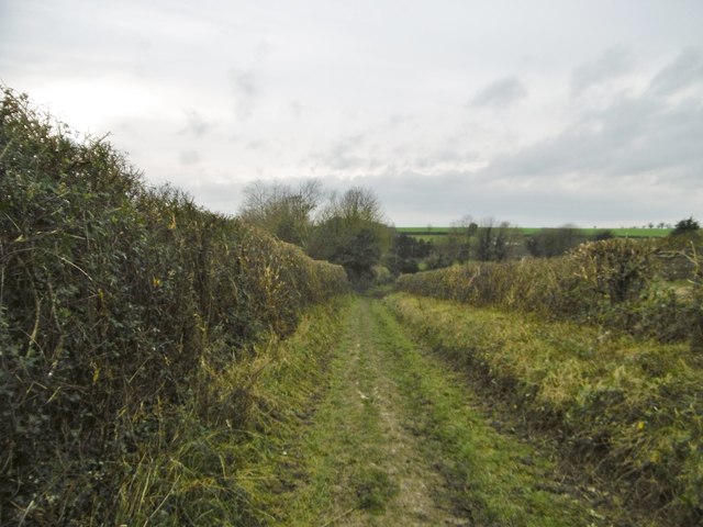
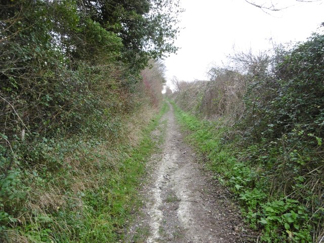
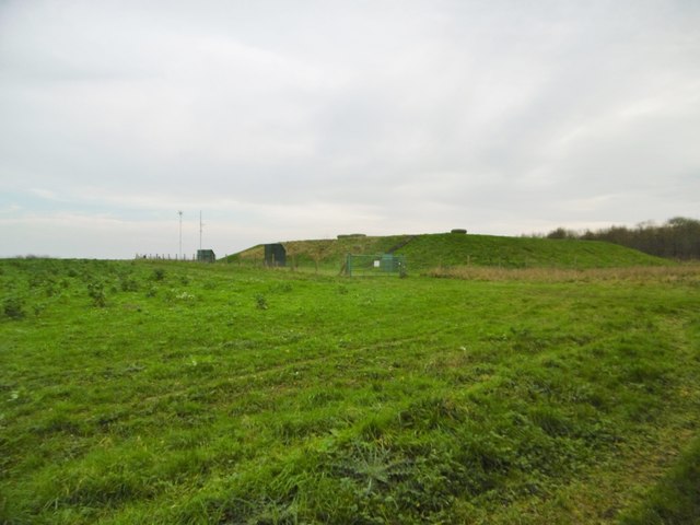
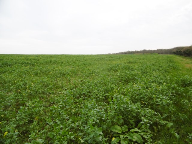
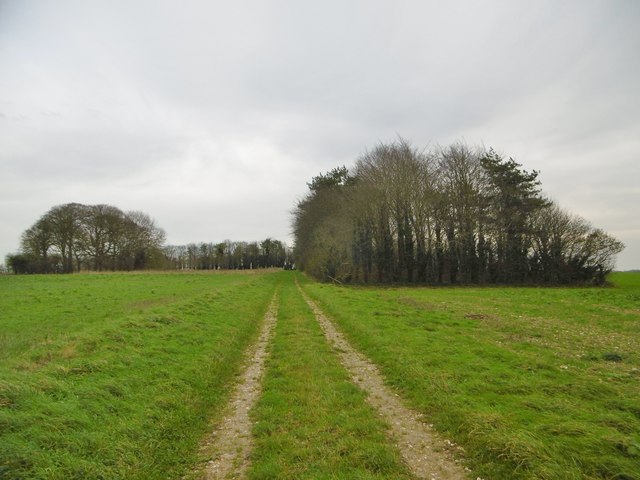
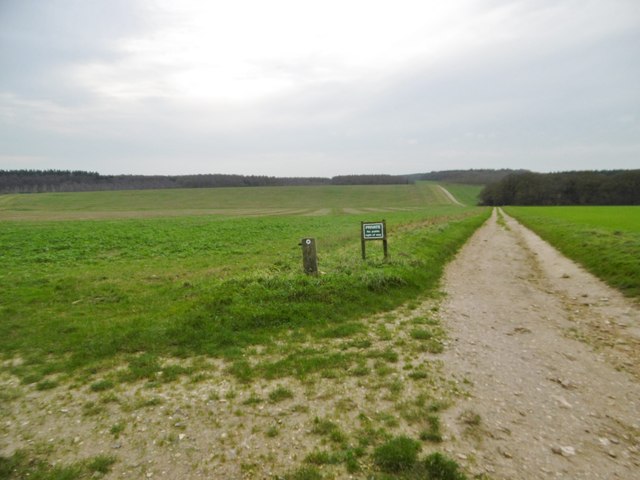
Strawberry Coppice is a beautiful woodland area located in the county of Dorset, England. It is situated near the village of Corfe Mullen and covers an area of approximately 100 acres. The coppice is a mixture of broadleaf trees, predominantly oak and beech, with some areas also featuring birch and hazel.
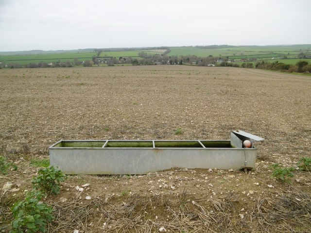
The woodland is known for its rich biodiversity and is home to a wide range of flora and fauna. The forest floor is carpeted with a variety of wildflowers, including bluebells, primroses, and wood anemones, creating a stunning display during the spring months. The trees provide a habitat for numerous bird species, such as woodpeckers, owls, and thrushes, as well as small mammals like squirrels and hedgehogs.
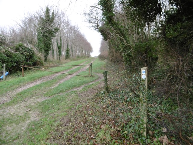
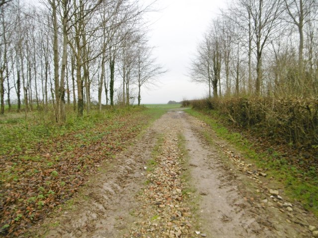
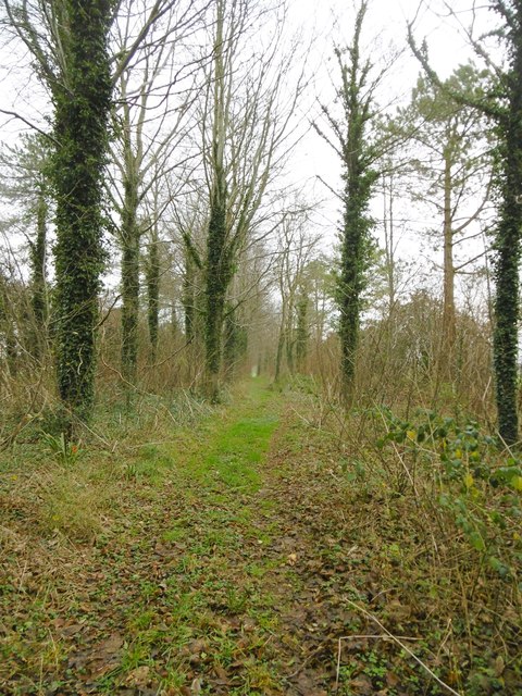
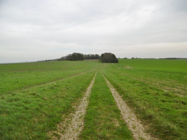
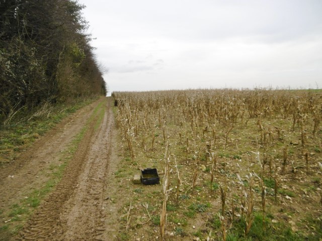
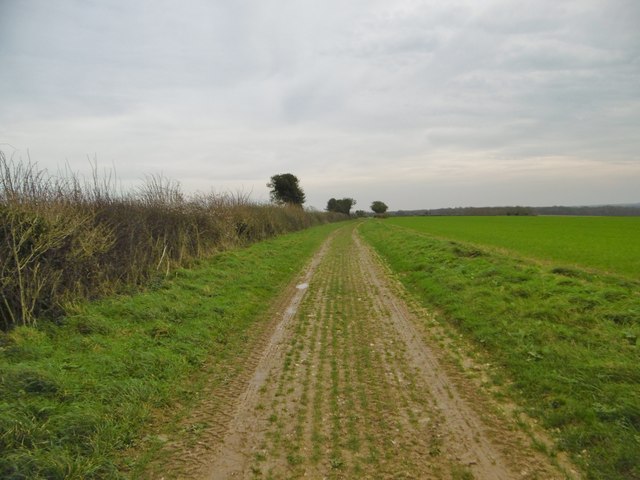
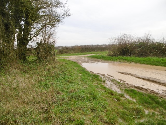
Strawberry Coppice is a popular destination for nature enthusiasts and offers a network of well-maintained walking trails, allowing visitors to explore the area at their own pace. The paths wind through the woodland, providing opportunities to observe the diverse wildlife and admire the natural beauty of the surroundings.
The coppice also has historical significance, as it was once used as a source of timber for local industries. Some remnants of the past can still be seen, such as old saw pits and charcoal hearths. These remnants serve as a reminder of the area's industrial heritage and add to the charm and character of the woodland.
Overall, Strawberry Coppice is a captivating woodland that offers a tranquil escape from the hustle and bustle of daily life. Its natural beauty, diverse wildlife, and historical features make it a must-visit destination for anyone seeking to connect with nature and explore the enchanting woodlands of Dorset.
If you have any feedback on the listing, please let us know in the comments section below.
Strawberry Coppice Images
Images are sourced within 2km of 50.877328/-2.0455875 or Grid Reference ST9608. Thanks to Geograph Open Source API. All images are credited.

Strawberry Coppice is located at Grid Ref: ST9608 (Lat: 50.877328, Lng: -2.0455875)
Unitary Authority: Dorset
Police Authority: Dorset
What 3 Words
///worker.devalued.equality. Near Pimperne, Dorset
Nearby Locations
Related Wikis

Long Crichel
Long Crichel () is a small village and former civil parish, now in the parish of Crichel, in east Dorset, England, situated on Cranborne Chase five miles...

Bryanston SSSI, Dorset
Bryanston SSSI (grid reference ST974070) is a 0.3 hectare biological Site of Special Scientific Interest in Dorset, England notified in 1977. It is used...

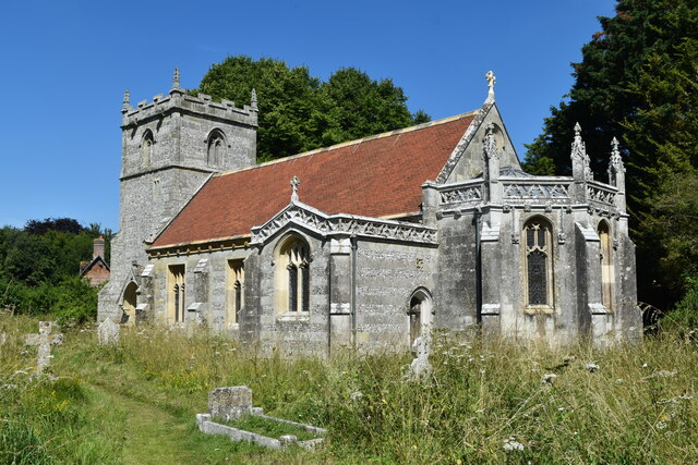
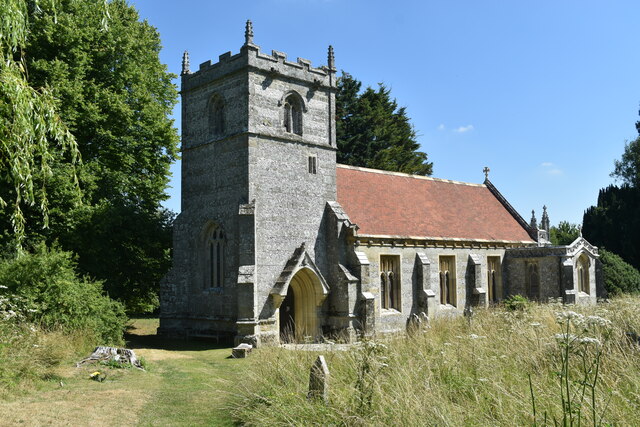
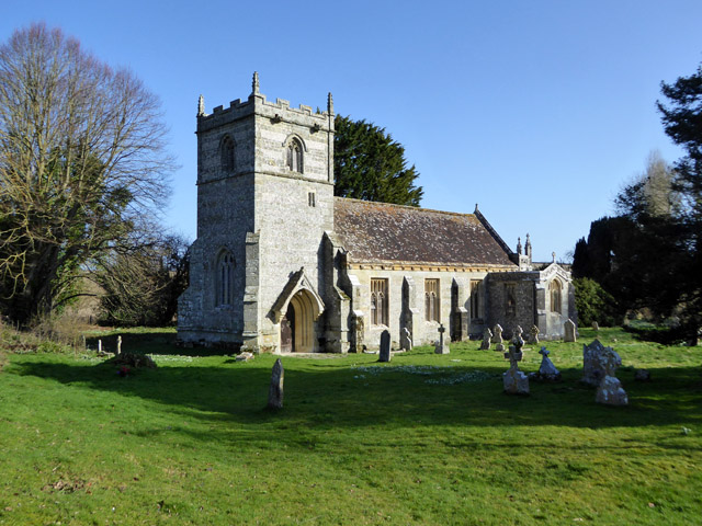
St Mary's Church, Long Crichel
St Mary's Church is in the village of Long Crichel, Dorset, England. It is a redundant Anglican parish church that has been under the care of the Friends...
Knowlton Hundred
Knowlton Hundred was a hundred in the county of Dorset, England, containing the following parishes: Gussage All Saints Long Crichel Woodlands == See... ==

Moor Crichel
Moor Crichel () is a village and former civil parish, now in the parish of Crichel, in East Dorset, England situated on Cranborne Chase five miles east...

Tarrant Monkton
Tarrant Monkton is a village and civil parish in north Dorset, England, situated in the Tarrant Valley about four miles (six kilometres) east-northeast...

Crichel House
Crichel House is a Grade I listed, Classical Revival country house near the village of Moor Crichel in Dorset, England. The house has an entrance designed...

Tarrant Launceston
Tarrant Launceston is a small village and civil parish in north Dorset, England, situated in the Tarrant Valley 5 miles (8 kilometres) northeast of Blandford...
Have you been to Strawberry Coppice?
Leave your review of Strawberry Coppice below (or comments, questions and feedback).