Upper Ettingshall

Settlement in Staffordshire

England

Upper Ettingshall

Spring Road in Lanesfield, Wolverhampton Looking north towards Wolverhampton city centre, Spring Road is the A4126 from near Coseley, seen at the junction with Lanesfield Drive.
Spring Road in Lanesfield, Wolverhampton Credit: Roger D Kidd

Upper Ettingshall is a small rural village located in the county of Staffordshire, England. Situated approximately 5 miles northeast of the town of Dudley, Upper Ettingshall is part of the wider Metropolitan Borough of Dudley.

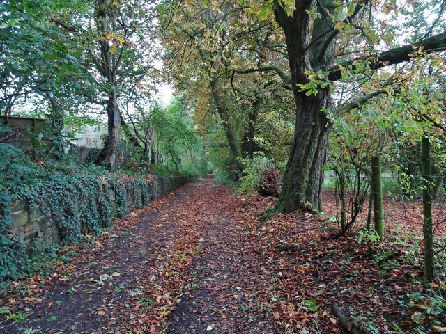
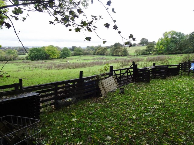
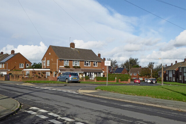
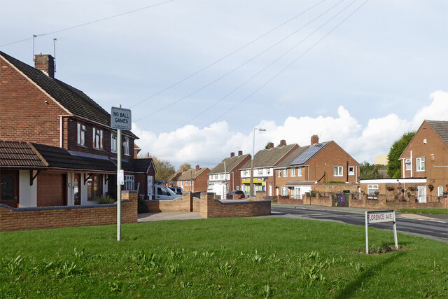
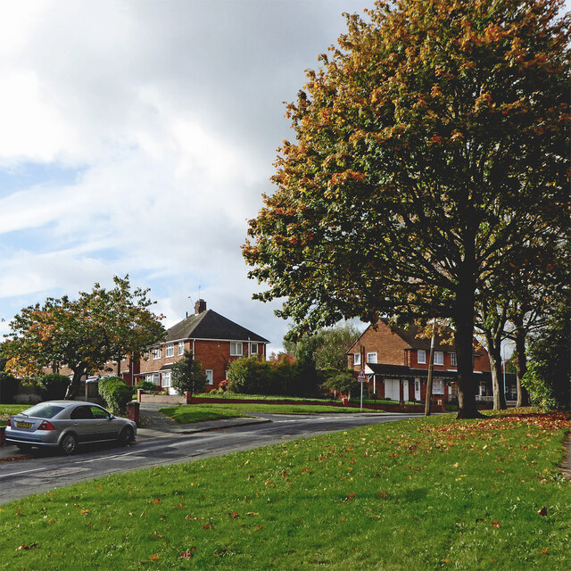
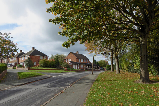
The village is known for its picturesque countryside setting, surrounded by rolling hills and green fields. It has a population of around 500 residents, living in a mix of traditional stone-built cottages and more modern houses.

Despite its rural location, Upper Ettingshall benefits from good transport links. The A4123 road runs through the village, connecting it to nearby towns and cities such as Wolverhampton and Birmingham. The village is also served by regular bus services, providing easy access to the surrounding areas.

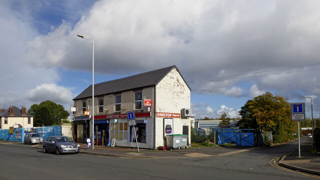
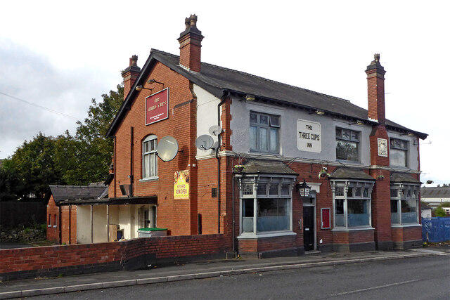
Upper Ettingshall has a strong community spirit, with several local amenities and facilities. These include a village hall, a primary school, and a small convenience store. The village is also home to a charming 14th-century church, St. John's Church, which serves as a focal point for the community.

The surrounding area offers plenty of opportunities for outdoor activities, with numerous walking and cycling routes available in the nearby countryside. The village is also within close proximity to the Dudley Canal, providing opportunities for boating and fishing.

Overall, Upper Ettingshall offers a peaceful and idyllic setting for those seeking a rural lifestyle, while still being within easy reach of larger towns and cities.

If you have any feedback on the listing, please let us know in the comments section below.

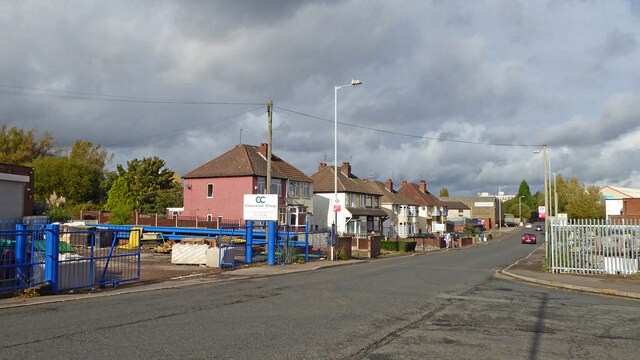
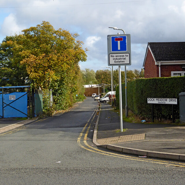
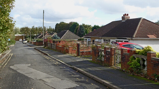
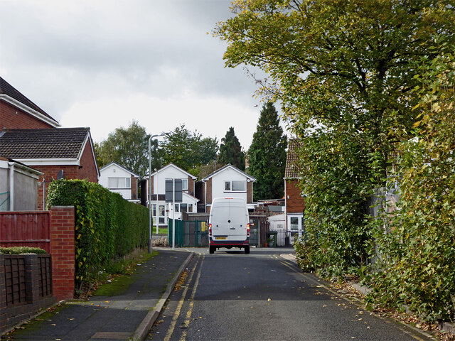
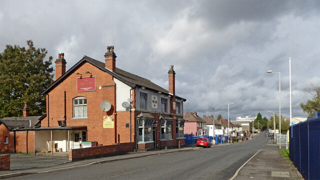
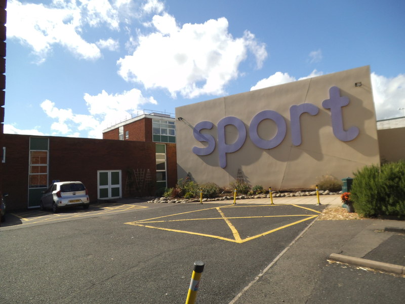
Upper Ettingshall Images

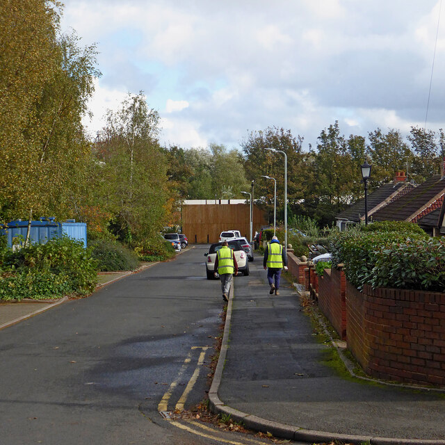
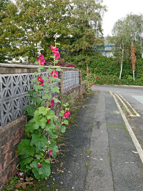
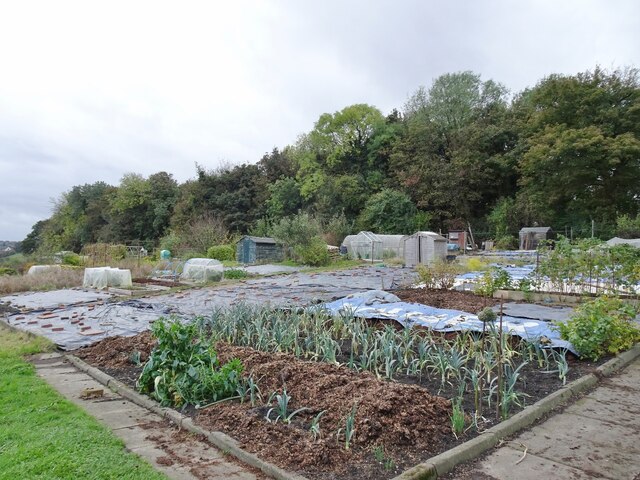
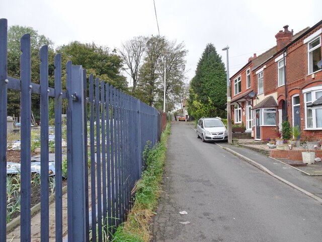
Images are sourced within 2km of 52.544533/-2.0966587 or Grid Reference SO9394. Thanks to Geograph Open Source API. All images are credited.

Spring Road in Lanesfield, Wolverhampton Looking north towards Wolverhampton city centre, Spring Road is the A4126 from near Coseley, seen at the junction with Lanesfield Drive.
Spring Road in Lanesfield, Wolverhampton
Looking north towards Wolverhampton city centre, Spring Road is the A4126 from near Coseley, seen at the junction with Lanesfield Drive.
Dock Meadow Drive in Lanesfield, Wolverhampton Looking east from Spring Road.
Dock Meadow Drive in Lanesfield, Wolverhampton
Looking east from Spring Road.
Dock Meadow Drive in Lanesfield, Wolverhampton Looking east from near the junction with Spring Road. There is pedestrian access to Lanesfield Drive at the far end of this unadopted cul-de-sac.
Dock Meadow Drive in Lanesfield, Wolverhampton
Looking east from near the junction with Spring Road. There is pedestrian access to Lanesfield Drive at the far end of this unadopted cul-de-sac.
Dock Meadow Drive in Lanesfield, Wolverhampton Looking west towards the A4126 Spring Road. Dock Meadow Drive is an unadopted cul-de-sac.
Dock Meadow Drive in Lanesfield, Wolverhampton
Looking west towards the A4126 Spring Road. Dock Meadow Drive is an unadopted cul-de-sac.
Dock Meadow Drive in Lanesfield, Wolverhampton Looking east from near the junction with Court Road. There is pedestrian access to Lanesfield Drive at the far end of this unadopted cul-de-sac.
Dock Meadow Drive in Lanesfield, Wolverhampton
Looking east from near the junction with Court Road. There is pedestrian access to Lanesfield Drive at the far end of this unadopted cul-de-sac.
Pretty pavement flower display in Lanesfield Hollyhocks!
This is in Court Road, looking towards Dock Mill Drive, both unadopted roads. The garden behind the wall was considerably less "attractive".
OK, it is not a pretty pavement! ;-)
Pretty pavement flower display in Lanesfield
Hollyhocks! This is in Court Road, looking towards Dock Mill Drive, both unadopted roads. The garden behind the wall was considerably less "attractive". OK, it is not a pretty pavement! ;-)
Allotment Scene The view of the allotments of the Coseley Allotment Society off Rock Road in Hurst Hill, Sedgley.
The view in October 2006 <a href="https://www.geograph.org.uk/photo/268668">SO9293 : Last blooms of autumn</a>.
Allotment Scene
The view of the allotments of the Coseley Allotment Society off Rock Road in Hurst Hill, Sedgley. The view in October 2006 SO9293 : Last blooms of autumn.
Rock Road Scene The view alongside the allotments of the Coseley Allotment Society off Rock Road in Hurst Hill, Sedgley.
Rock Road Scene
The view alongside the allotments of the Coseley Allotment Society off Rock Road in Hurst Hill, Sedgley.
Turls Hill Leafs The view of the lane in Hurst Hill, Sedgley.
Turls Hill Leafs
The view of the lane in Hurst Hill, Sedgley.
Turls Hill Grazing  The view off the lane in Hurst Hill, Sedgley.
Turls Hill Grazing
The view off the lane in Hurst Hill, Sedgley.
Hilton Road and Norbury Crescent in Lanesfield, Wolverhampton Looking north across Hilton Road towards Norbury Crescent. Off to the left is Florence Avenue.
Hilton Road and Norbury Crescent in Lanesfield, Wolverhampton
Looking north across Hilton Road towards Norbury Crescent. Off to the left is Florence Avenue.
Housing in Lanesfield, Wolverhampton Looking north-west along Hilton Road from the junction with Florence Avenue.
Housing in Lanesfield, Wolverhampton
Looking north-west along Hilton Road from the junction with Florence Avenue.
Hilton Road in Lanesfield, Wolverhampton Looking south-west across Hilton Road towards Dresden Close from near the junction with Spring Road.
Hilton Road in Lanesfield, Wolverhampton
Looking south-west across Hilton Road towards Dresden Close from near the junction with Spring Road.
Hilton Road in Lanesfield, Wolverhampton Looking west from near the junction with Spring Road. Dresden Close leads off to the left.
Hilton Road in Lanesfield, Wolverhampton
Looking west from near the junction with Spring Road. Dresden Close leads off to the left.
Dresden Close in Lanesfield, Wolverhampton Looking south-west along this cul-de-sac from the junction with Hilton Road.
Dresden Close in Lanesfield, Wolverhampton
Looking south-west along this cul-de-sac from the junction with Hilton Road.
Corner shop and chippy in Lanesfield, Wolverhampton This is in Spring Road at the junction with Dock Meadow Drive (unadopted).
Corner shop and chippy in Lanesfield, Wolverhampton
This is in Spring Road at the junction with Dock Meadow Drive (unadopted).
The Three Cups Inn in Lanesfield, Wolverhampton This free house is on the A4126 Spring Road in Lanesfield.
The Three Cups Inn in Lanesfield, Wolverhampton
This free house is on the A4126 Spring Road in Lanesfield.
Spring Road in Lanesfield, Wolverhampton Looking north towards Wolverhampton city centre, Spring Road is the A4126 from near Coseley, seen near the junction with Lanesfield Drive.
The Three Cups Inn on the left is a free house.
Spring Road in Lanesfield, Wolverhampton
Looking north towards Wolverhampton city centre, Spring Road is the A4126 from near Coseley, seen near the junction with Lanesfield Drive. The Three Cups Inn on the left is a free house.
Show me another place!

Upper Ettingshall is located at Grid Ref: SO9394 (Lat: 52.544533, Lng: -2.0966587)

Unitary Authority: Dudley

Police Authority: West Midlands

What 3 Words

///tubes.brain.behind. Near Tipton, West Midlands

Related Wikis

Coseley Urban District

Coseley Urban District was a local government district in Staffordshire which was created in 1894. It was made up of the villages of Brierley (now Bradley...

The Coseley School

The Coseley School was a mixed secondary school located in Coseley, West Midlands, England. The school closed in July 2017, in a phased closure, when the...

Coseley railway station

Coseley railway station is located in the Coseley area of the borough of Dudley, West Midlands, England. It is situated on the Rugby-Birmingham-Stafford...

Woodcross

Woodcross is a residential area of Coseley, West Midlands, England. It is set within the City of Wolverhampton, though the area traditionally existed within...

Nearby Amenities

Located within 500m of 52.544533,-2.0966587
Bus Stop
Hurst Rd / Childs Avenue
NaPTANAreaCode: 43000728001
Asset Ref: 104220
Bus: yes
Naptan AtcoCode: 43000728001
Naptan Bearing: E
Naptan BusStopType: MKD
Naptan CommonName: Childs Avenue
Naptan Indicator: adj
Naptan NaptanCode: nwmjgpdw
Naptan PlusbusZoneRef: BHAMNWS
Naptan Status: ACT
Naptan StopType: BCT
Naptan Street: HURST RD
Naptan Towards: Bilston
Public Transport: platform
Route Ref: 229
Shelter: yes
Shelter Ref: 104220
Source: WMCA
Towards: Bilston
Lat/Long: 52.5461606/-2.0997535
Bus Stop
Hurst Rd / Childs Avenue
NaPTANAreaCode: 43000728002
Asset Ref: 404235
Bus: yes
Naptan AtcoCode: 43000728002
Naptan Bearing: W
Naptan BusStopType: MKD
Naptan CommonName: Childs Avenue
Naptan Indicator: opp
Naptan NaptanCode: nwmjgpga
Naptan PlusbusZoneRef: BHAMNWS
Naptan Status: ACT
Naptan StopType: BCT
Naptan Street: HURST RD
Naptan Towards: Sedgley
Public Transport: platform
Route Ref: 229
Shelter: yes
Shelter Ref: 404235
Source: WMCA
Towards: Sedgley
Lat/Long: 52.5460637/-2.099059
Bus Stop
Shaw Rd / Birmingham New Rd
Bus: yes
Naptan AtcoCode: 43007751003
Naptan Bearing: SW
Naptan BusStopType: MKD
Naptan CommonName: Birmingham New Rd
Naptan Indicator: after
Naptan NaptanCode: nwmpmjam
Naptan PlusbusZoneRef: BHAMNWS
Naptan Status: ACT
Naptan StopType: BCT
Naptan Street: SHAW RD
Naptan Towards: Sedgley
Naptan Verified: no
Public Transport: platform
Route Ref: 229
Source: WMCA
Lat/Long: 52.5474689/-2.0950892
Bus Stop
Shaw Rd / Ettingshall Rd
NaPTANAreaCode: 43000728501
Bus: yes
Naptan AtcoCode: 43000728501
Naptan Bearing: NE
Naptan BusStopType: MKD
Naptan CommonName: Ettingshall Rd
Naptan Indicator: adj
Naptan NaptanCode: nwmjgpgp
Naptan PlusbusZoneRef: BHAMNWS
Naptan Status: ACT
Naptan StopType: BCT
Naptan Street: SHAW RD
Naptan Towards: Bilston
Public Transport: platform
Route Ref: 229
Shelter: yes
Shelter Ref: 104214
Source: WMCA
Lat/Long: 52.5463643/-2.0966639
Bus Stop
Shaw Rd / Ettingshall Rd
NaPTANAreaCode: 43000728502
Bus: yes
Naptan AtcoCode: 43000728502
Naptan Bearing: SW
Naptan BusStopType: MKD
Naptan CommonName: Ettingshall Rd
Naptan Indicator: opp
Naptan NaptanCode: nwmjgpgt
Naptan PlusbusZoneRef: BHAMNWS
Naptan Status: ACT
Naptan StopType: BCT
Naptan Street: SHAW RD
Naptan Towards: Sedgley
Public Transport: platform
Route Ref: 229
Shelter: yes
Shelter Ref: 404229
Source: WMCA
Lat/Long: 52.5463389/-2.0963341
Bus Stop
Birmingham New Rd / Shaw Rd
NaPTANAreaCode: 43007750102
Bench: yes
Bus: yes
Bus Bay: yes
Naptan AtcoCode: 43007750102
Naptan Bearing: NW
Naptan BusStopType: MKD
Naptan CommonName: Shaw Rd
Naptan Indicator: Opp
Naptan NaptanCode: nwmtdpja
Naptan PlusbusZoneRef: BHAMNWS
Naptan Status: ACT
Naptan StopType: BCT
Naptan Street: BIRMINGHAM NEW RD
Naptan Towards: Wolverhampton
Public Transport: platform
Route Ref: 22;126
Shelter: yes
Shelter Ref: 404220
Source: WMCA
Lat/Long: 52.5471054/-2.0939491
Bus Stop
Coppice Rd / Bond St
Bus: yes
Naptan AtcoCode: 43008640002
Naptan Bearing: W
Naptan BusStopType: MKD
Naptan CommonName: Bond St
Naptan Indicator: adj
Naptan NaptanCode: nwmpmpjw
Naptan PlusbusZoneRef: BHAMNWS
Naptan Status: ACT
Naptan StopType: BCT
Naptan Street: COPPICE RD
Naptan Towards: Wolverhampton
Public Transport: platform
Route Ref: 81
Shelter: no
Source: WMCA
Towards: Wolverhampton
Lat/Long: 52.5406426/-2.0984215
Bus Stop
Bond St / Caddick St
NaPTANAreaCode: 43000864301
Asset Ref: 404218
Bus: yes
Naptan AtcoCode: 43000864301
Naptan Bearing: NE
Naptan BusStopType: MKD
Naptan CommonName: Caddick St
Naptan Indicator: adj
Naptan NaptanCode: nwmjwtgp
Naptan PlusbusZoneRef: BHAMNWS
Naptan Status: ACT
Naptan StopType: BCT
Naptan Street: BOND ST
Naptan Towards: Coseley
Public Transport: platform
Route Ref: 81
Shelter: yes
Shelter Ref: 404218
Source: WMCA
Lat/Long: 52.5406133/-2.0996036
Bus Stop
Ivyhouse Lane / Hampton St
Bus: yes
Naptan AtcoCode: 43000865101
Naptan Bearing: SW
Naptan BusStopType: MKD
Naptan CommonName: Hampton St
Naptan Indicator: adj
Naptan NaptanCode: nwmjwtgt
Naptan PlusbusZoneRef: BHAMNWS
Naptan Status: ACT
Naptan StopType: BCT
Naptan Street: IVYHOUSE LANE
Naptan Towards: Wolverhampton
Naptan Verified: no
Public Transport: platform
Route Ref: 81
Source: WMCA
Lat/Long: 52.5415117/-2.0943907
Bus Stop
Ivyhouse Lane / Hampton St
Bus: yes
Naptan AtcoCode: 43000865102
Naptan Bearing: NE
Naptan BusStopType: MKD
Naptan CommonName: Hampton St
Naptan Indicator: opp
Naptan NaptanCode: nwmjwtgw
Naptan PlusbusZoneRef: BHAMNWS
Naptan Status: ACT
Naptan StopType: BCT
Naptan Street: IVYHOUSE LANE
Naptan Towards: Coseley
Naptan Verified: no
Public Transport: platform
Route Ref: 81
Source: WMCA
Lat/Long: 52.5416718/-2.0942553
Bus Stop
Ivyhouse Lane / Mount Pleasant
Bus: yes
Naptan AtcoCode: 43000865201
Naptan Bearing: SW
Naptan BusStopType: MKD
Naptan CommonName: Mount Pleasant
Naptan Indicator: adj
Naptan NaptanCode: nwmjwtja
Naptan PlusbusZoneRef: BHAMNWS
Naptan Status: ACT
Naptan StopType: BCT
Naptan Street: IVYHOUSE LANE
Naptan Towards: Wolverhampton
Naptan Verified: no
Public Transport: platform
Route Ref: 81
Source: WMCA
Lat/Long: 52.542625/-2.0928374
Bus Stop
Ivyhouse Lane / Mount Pleasant
Bus: yes
Naptan AtcoCode: 43000865202
Naptan Bearing: NE
Naptan BusStopType: MKD
Naptan CommonName: Mount Pleasant
Naptan Indicator: opp
Naptan NaptanCode: nwmjwtjd
Naptan PlusbusZoneRef: BHAMNWS
Naptan Status: ACT
Naptan StopType: BCT
Naptan Street: IVYHOUSE LANE
Naptan Towards: Coseley
Naptan Verified: no
Public Transport: platform
Route Ref: 81
Source: WMCA
Lat/Long: 52.5426699/-2.092926
Bus Stop
Birmingham New Rd / Harvington Rd
NaPTANAreaCode: 43000865301
Asset Ref: 0865301
Bus: yes
Location: Birmingham New Road; Harvington Road
Naptan AtcoCode: 43000865301
Naptan Bearing: SE
Naptan BusStopType: MKD
Naptan CommonName: Harvington Rd
Naptan Indicator: opp
Naptan NaptanCode: nwmjwtjg
Naptan PlusbusZoneRef: BHAMNWS
Naptan Status: ACT
Naptan StopType: BCT
Naptan Street: BIRMINGHAM NEW RD
Naptan Towards: Dudley
Public Transport: platform
Route Ref: 22;126
Shelter: yes
Shelter Ref: 0865301
Source: WMCA
Towards: Dudley
Lat/Long: 52.5441377/-2.0915868
Bus Stop
Birmingham New Rd / Harvington Rd
NaPTANAreaCode: 43000865302
Bus: yes
Naptan AtcoCode: 43000865302
Naptan Bearing: NW
Naptan BusStopType: MKD
Naptan CommonName: Harvington Rd
Naptan Indicator: adj
Naptan NaptanCode: nwmjwtjm
Naptan PlusbusZoneRef: BHAMNWS
Naptan Status: ACT
Naptan StopType: BCT
Naptan Street: BIRMINGHAM NEW RD
Naptan Towards: Wolverhampton
Public Transport: platform
Route Ref: 22;126
Shelter: yes
Shelter Ref: 404219
Source: WMCA
Lat/Long: 52.5445636/-2.0922383
Fast Food
McDonald's
Addr Postcode: WV14 9JH
Addr Street: Birmingham New Road
Brand: McDonald's
Brand Wikidata: Q38076
Brand Wikipedia: en:McDonald's
Contact Website: https://www.mcdonalds.com/gb/en-gb/location/bilston/coseley/birmingham-new-road/8260743.html
Cuisine: burger
Drive Through: yes
Fhrs Id: 744529
Takeaway: yes
Lat/Long: 52.5430257/-2.0905843
Fuel
BP
Brand: BP
Brand Wikidata: Q152057
Brand Wikipedia: en:BP
Website: https://map.bp.com/en-GB/GB/petrol-station/bilston/hks-roseville-service-station/4480
Lat/Long: 52.5434831/-2.090864
Crossing
Crossing: traffic_signals
Crossing Ref: toucan
Source: OpenStreetCam survey
Lat/Long: 52.5481123/-2.0941936
Crossing
Crossing: traffic_signals
Crossing Ref: pelican
Lat/Long: 52.548726/-2.09477
Crossing
Crossing: traffic_signals
Crossing Ref: pelican
Lat/Long: 52.5486236/-2.0948497
Post Box
Ref: WV14 214
Lat/Long: 52.5407269/-2.0994788
Turning Circle
Source: bing
Lat/Long: 52.541683/-2.0997176
Fixme: continue
Lat/Long: 52.5435223/-2.1038164
Barrier: bollard
Bicycle: yes
Foot: yes
Lat/Long: 52.5438348/-2.1030274
Barrier: bollard
Bicycle: yes
Foot: yes
Lat/Long: 52.5411489/-2.0953204
Post Box
Ref: WV14 234
Lat/Long: 52.544743/-2.0965179
Disused Amenity: restaurant
Lat/Long: 52.5458785/-2.09722
Ettingshall News & Off Licence
Shop: kiosk
Lat/Long: 52.5456794/-2.0971284
Crossing
Crossing: traffic_signals
Crossing Island: no
Crossing Markings: yes
Crossing Signals: yes
Crossing Ref: toucan
Tactile Paving: no
Lat/Long: 52.5432124/-2.0909307
Turning Circle
Source: bing
Lat/Long: 52.5458331/-2.0954773
Turning Circle
Source: bing
Lat/Long: 52.5448489/-2.0955825
Roseville
Place: locality
Source: OS_OpenData_StreetView
Lat/Long: 52.5424926/-2.0915536
Atm
Fee: no
Lat/Long: 52.5435736/-2.0907669
Traffic Signals
Source: bing
Lat/Long: 52.5430171/-2.091064
Crossing
Crossing: traffic_signals
Crossing Markings: yes
Crossing Signals: yes
Crossing Ref: toucan
Source: bing
Lat/Long: 52.5431206/-2.0913886
Traffic Signals
Source: bing
Lat/Long: 52.5432299/-2.0908768
Traffic Signals
Source: bing
Lat/Long: 52.5433272/-2.0911399
Source: bing
Traffic Calming: bump
Lat/Long: 52.544741/-2.0896124
Noexit: yes
Lat/Long: 52.5426016/-2.0927816
Traffic Signals
Crossing: traffic_signals
Lat/Long: 52.5477663/-2.0944151
Crossing
Crossing: traffic_signals
Crossing Ref: toucan
Lat/Long: 52.5477693/-2.0944483
Traffic Signals
Crossing: traffic_signals
Source: bing
Lat/Long: 52.5477951/-2.0942799
Traffic Signals
Crossing: traffic_signals
Source: bing
Lat/Long: 52.547777/-2.0946181
Traffic Signals
Crossing: traffic_signals
Source: bing
Lat/Long: 52.5481454/-2.0943518
Traffic Signals
Crossing: traffic_signals
Source: OpenStreetCam survey
Lat/Long: 52.5481526/-2.094307
Crossing
Crossing: traffic_signals
Crossing Ref: toucan
Source: OpenStreetCam survey
Lat/Long: 52.5481541/-2.0942262
Cycleway: asl
Source: bing
Lat/Long: 52.5478069/-2.0945813
Crossing
Crossing: traffic_signals
Crossing Ref: toucan
Lat/Long: 52.5478322/-2.0945504
Crossing
Crossing: traffic_signals
Crossing Ref: toucan
Lat/Long: 52.5478305/-2.094305
Crossing
Crossing: traffic_signals
Crossing Ref: toucan
Lat/Long: 52.5478632/-2.0941561
Crossing
Crossing Ref: puffin
Lat/Long: 52.5481192/-2.0943305
Traffic Signals
Crossing: traffic_signals
Source: OpenStreetCam survey
Lat/Long: 52.5481319/-2.0941689
Crossing
Crossing: traffic_signals
Crossing Ref: puffin
Lat/Long: 52.5480813/-2.0944961
Barrier: bollard
Lat/Long: 52.5422676/-2.0936216
Barrier: bollard
Lat/Long: 52.5427834/-2.0941769
Waste Basket
Waste: dog_excrement
Lat/Long: 52.5476867/-2.0951378
Crossing
Lat/Long: 52.5435264/-2.0911282
Generator Method: photovoltaic
Generator Output Electricity: yes
Generator Source: solar
Generator Type: solar_photovoltaic_panel
Location: roof
Power: generator
Lat/Long: 52.5410628/-2.0923349
Generator Method: photovoltaic
Generator Output Electricity: yes
Generator Source: solar
Generator Type: solar_photovoltaic_panel
Location: roof
Power: generator
Lat/Long: 52.5435358/-2.093955
Generator Method: photovoltaic
Generator Output Electricity: yes
Generator Source: solar
Generator Type: solar_photovoltaic_panel
Location: roof
Power: generator
Lat/Long: 52.5432226/-2.0950413
Generator Method: photovoltaic
Generator Output Electricity: yes
Generator Source: solar
Generator Type: solar_photovoltaic_panel
Location: roof
Power: generator
Lat/Long: 52.5431671/-2.0947811
Generator Method: photovoltaic
Generator Output Electricity: yes
Generator Source: solar
Generator Type: solar_photovoltaic_panel
Location: roof
Power: generator
Lat/Long: 52.5436891/-2.0973721
Generator Method: photovoltaic
Generator Output Electricity: yes
Generator Source: solar
Generator Type: solar_photovoltaic_panel
Location: roof
Power: generator
Lat/Long: 52.5453301/-2.0980883
Generator Method: photovoltaic
Generator Output Electricity: yes
Generator Source: solar
Generator Type: solar_photovoltaic_panel
Location: roof
Power: generator
Lat/Long: 52.5446238/-2.093432
Crossing
Crossing: traffic_signals
Crossing Markings: yes
Crossing Signals: yes
Crossing Ref: toucan
Lat/Long: 52.5430463/-2.0910833
Crossing
Crossing: traffic_signals
Crossing Markings: yes
Crossing Signals: yes
Crossing Ref: toucan
Lat/Long: 52.5430787/-2.0909757
Crossing
Crossing: traffic_signals
Crossing Markings: yes
Crossing Signals: yes
Crossing Ref: toucan
Lat/Long: 52.5433059/-2.0911268
Crossing
Crossing: traffic_signals
Crossing Markings: yes
Crossing Signals: yes
Crossing Ref: toucan
Lat/Long: 52.5432714/-2.091237
Fast Food
Subway
Brand: Subway
Brand Wikidata: Q244457
Cuisine: sandwich
Takeaway: yes
Lat/Long: 52.5424062/-2.0902173
The data included in this document is from www.openstreetmap.org. The data is made available under ODbL.

Have you been to Upper Ettingshall?

Leave your review of Upper Ettingshall below (or comments, questions and feedback).