Upper Easton
Settlement in Gloucestershire
England
Upper Easton
Upper Easton is a small village located in the county of Gloucestershire, England. Situated in the Cotswolds, it is nestled amidst picturesque rolling hills and lush green countryside. The village is part of the larger parish of Eastington and is surrounded by the charming hamlets of Lower Easton and Churchend.
With a population of approximately 500 residents, Upper Easton exudes a tranquil and idyllic atmosphere. The village is primarily residential, consisting of traditional stone cottages and a few modern houses. The architecture is typical of the Cotswolds region, with honey-colored limestone buildings that blend seamlessly with the natural beauty of the surroundings.
Upper Easton benefits from its close proximity to the market town of Stonehouse, which is just two miles away. Stonehouse provides residents with convenient access to amenities such as shops, schools, healthcare facilities, and leisure activities. The village itself has limited services, including a local pub that serves as a social hub for the community.
Nature enthusiasts will find plenty to explore in the area surrounding Upper Easton. The Cotswold Way, a renowned walking trail, passes nearby, offering breathtaking views and opportunities to discover the region's diverse flora and fauna. Additionally, the nearby Cotswold Canals provide opportunities for boating, fishing, and peaceful strolls along the water's edge.
Upper Easton, Gloucestershire, offers a peaceful retreat from the bustle of city life, making it an attractive place to live for those seeking a rural lifestyle with easy access to essential amenities and natural beauty.
If you have any feedback on the listing, please let us know in the comments section below.
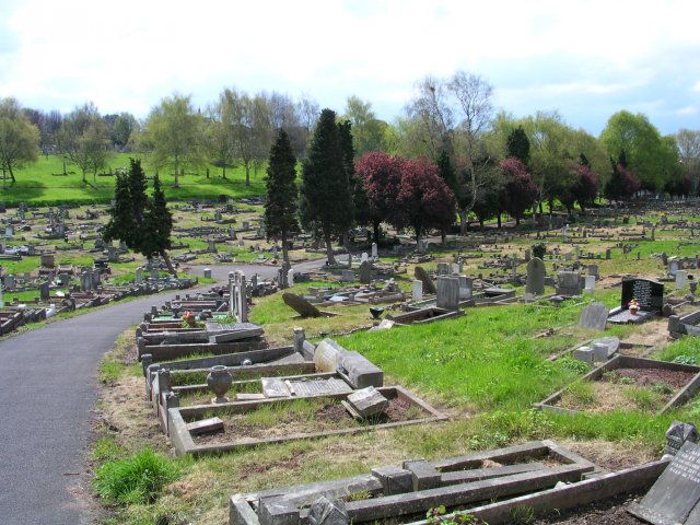
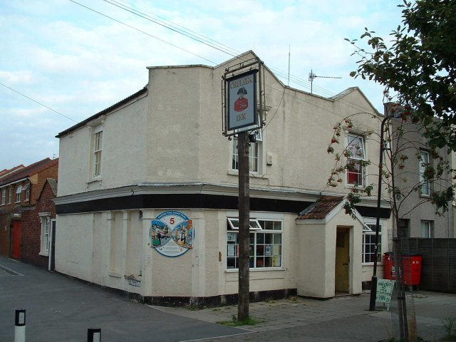
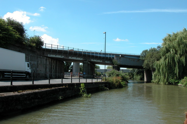
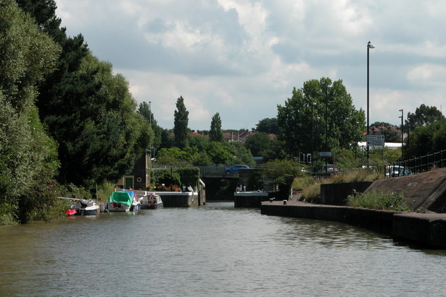
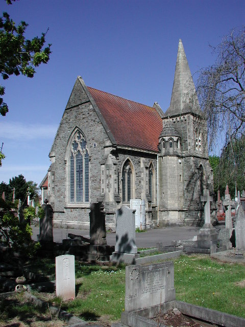
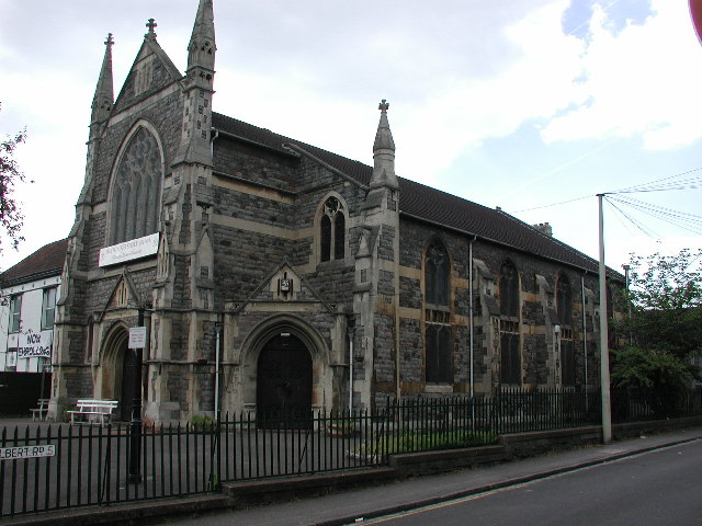
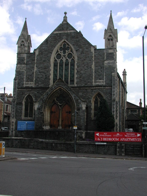
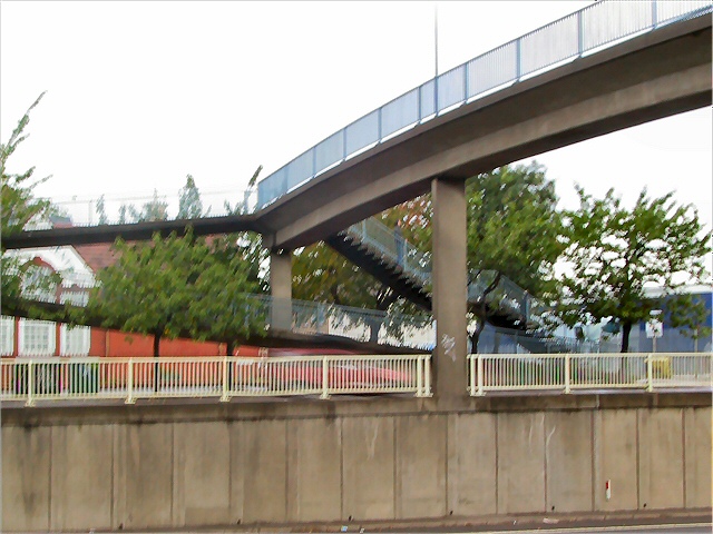
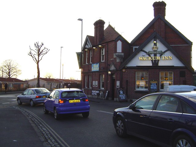
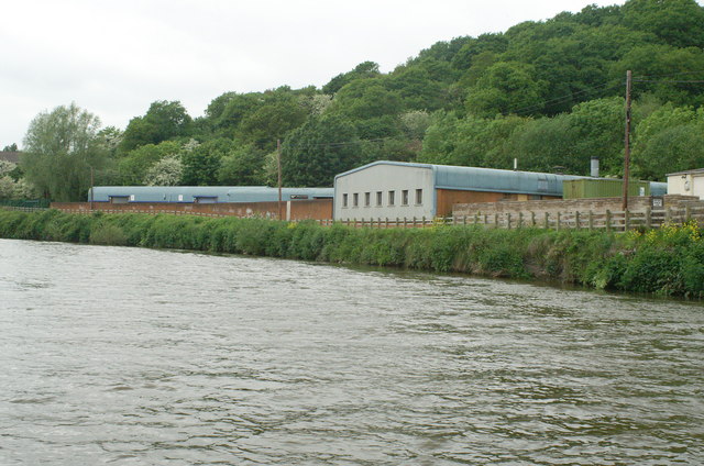
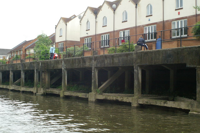
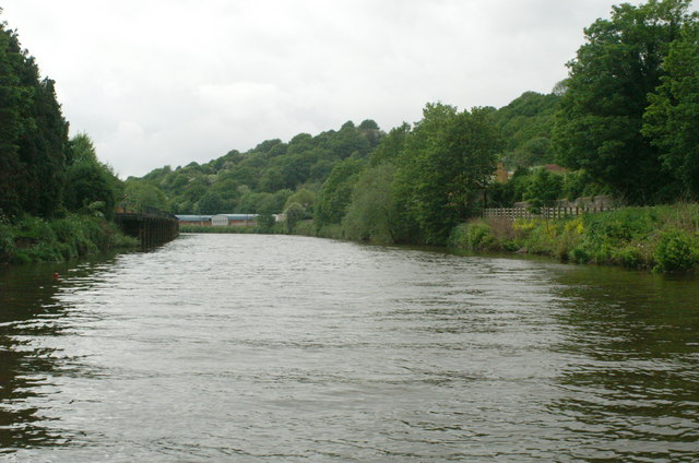
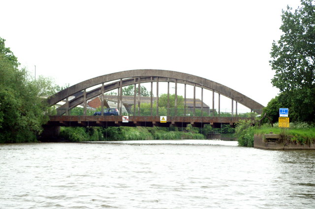
Upper Easton Images
Images are sourced within 2km of 51.461486/-2.5670347 or Grid Reference ST6073. Thanks to Geograph Open Source API. All images are credited.


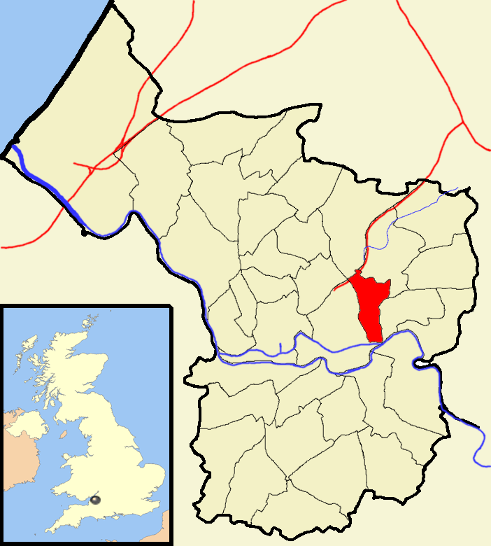
Upper Easton is located at Grid Ref: ST6073 (Lat: 51.461486, Lng: -2.5670347)
Unitary Authority: Bristol
Police Authority: Avon and Somerset
What 3 Words
///leaps.player.pocket. Near Bristol
Nearby Locations
Related Wikis
Easton, Bristol
Easton is an inner city area of the city of Bristol in the United Kingdom. Informally the area is considered to stretch east of Bristol city centre and...
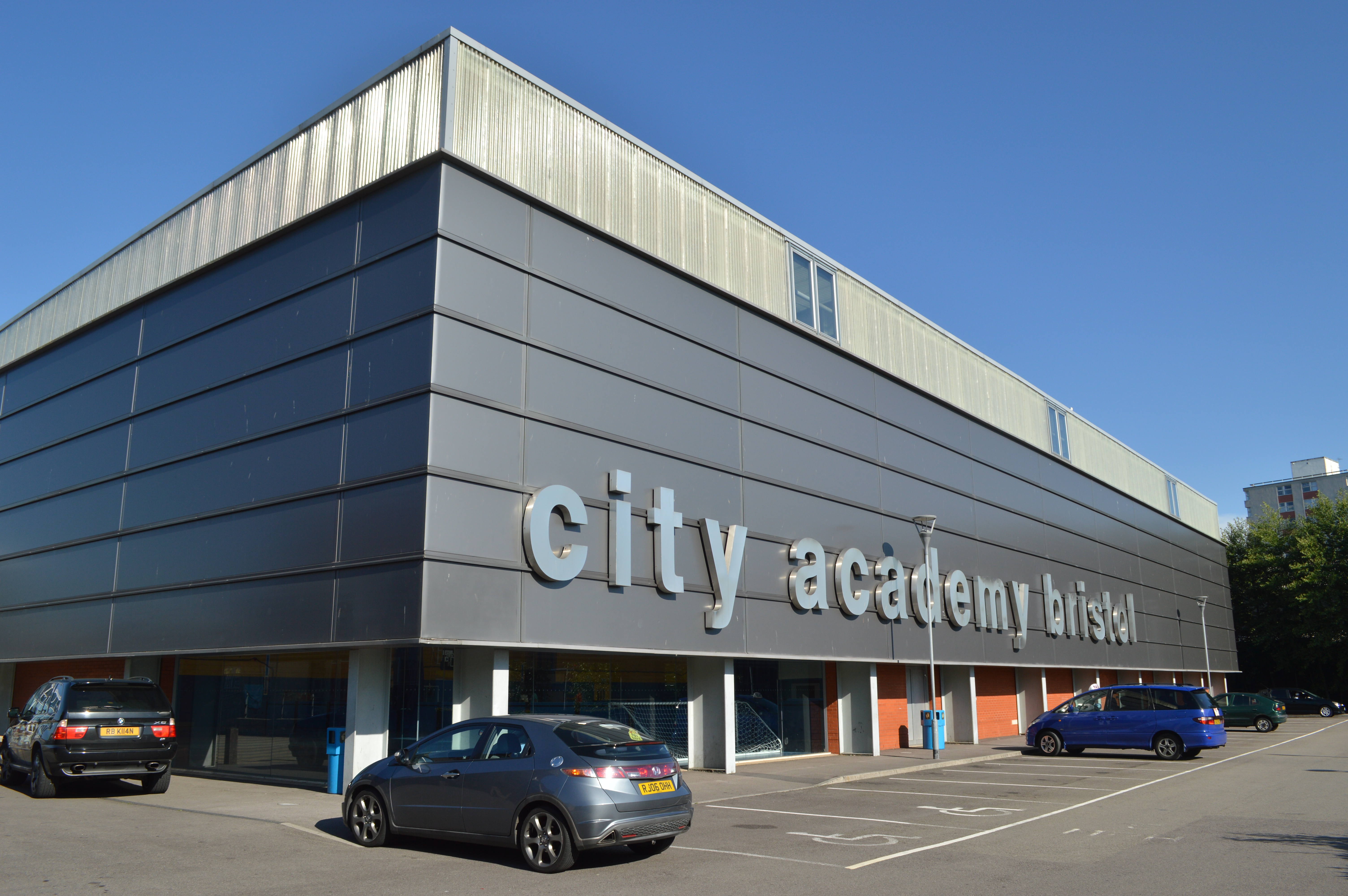
City Academy Bristol
The City Academy Bristol is a mixed gender secondary school with Academy status, located in the Easton area of Bristol, England. == History == The school...
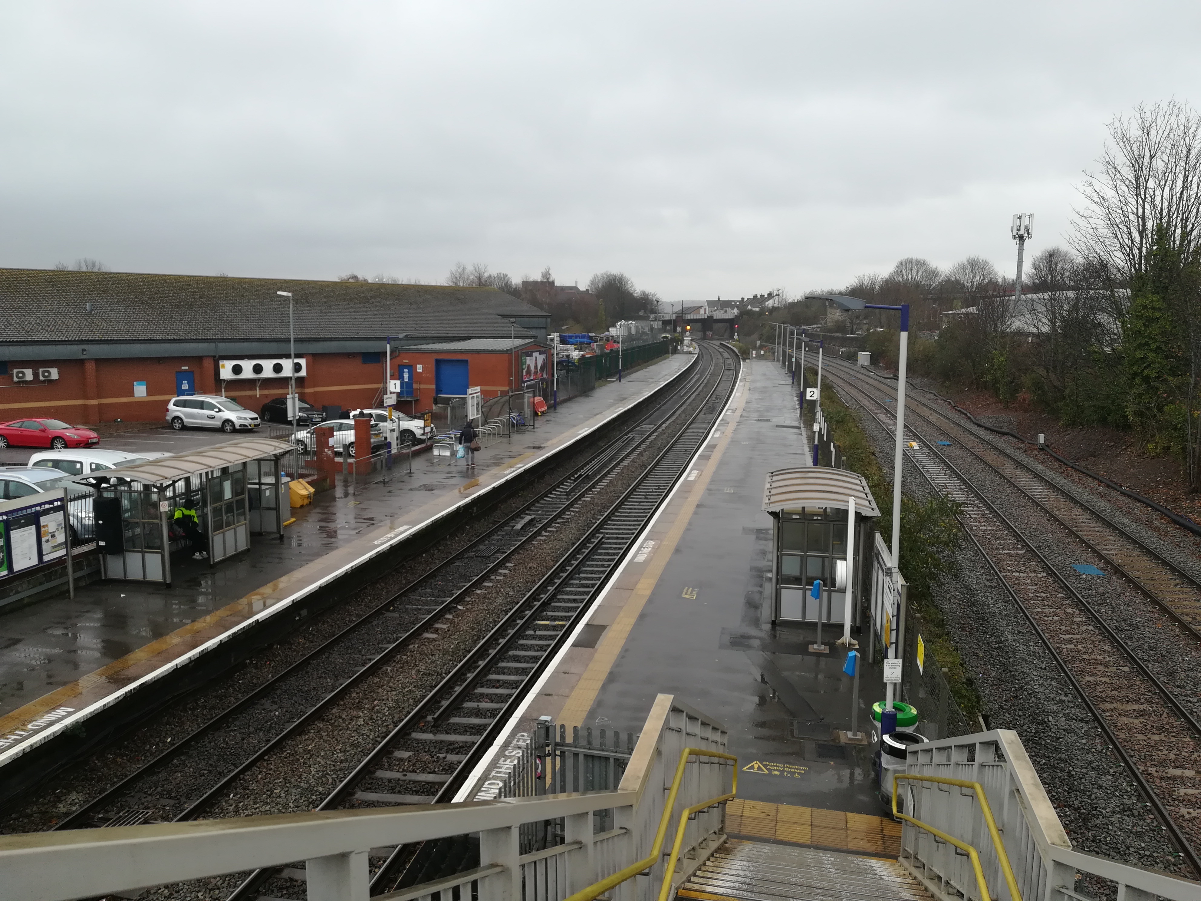
Lawrence Hill railway station
Lawrence Hill railway station is on the Severn Beach Line and Cross Country Route, serving the inner-city districts of Easton and Lawrence Hill in Bristol...

Stapleton Road
Stapleton Road is a major thoroughfare in the English city of Bristol, running through the districts of Lawrence Hill and Easton. It is known for being...
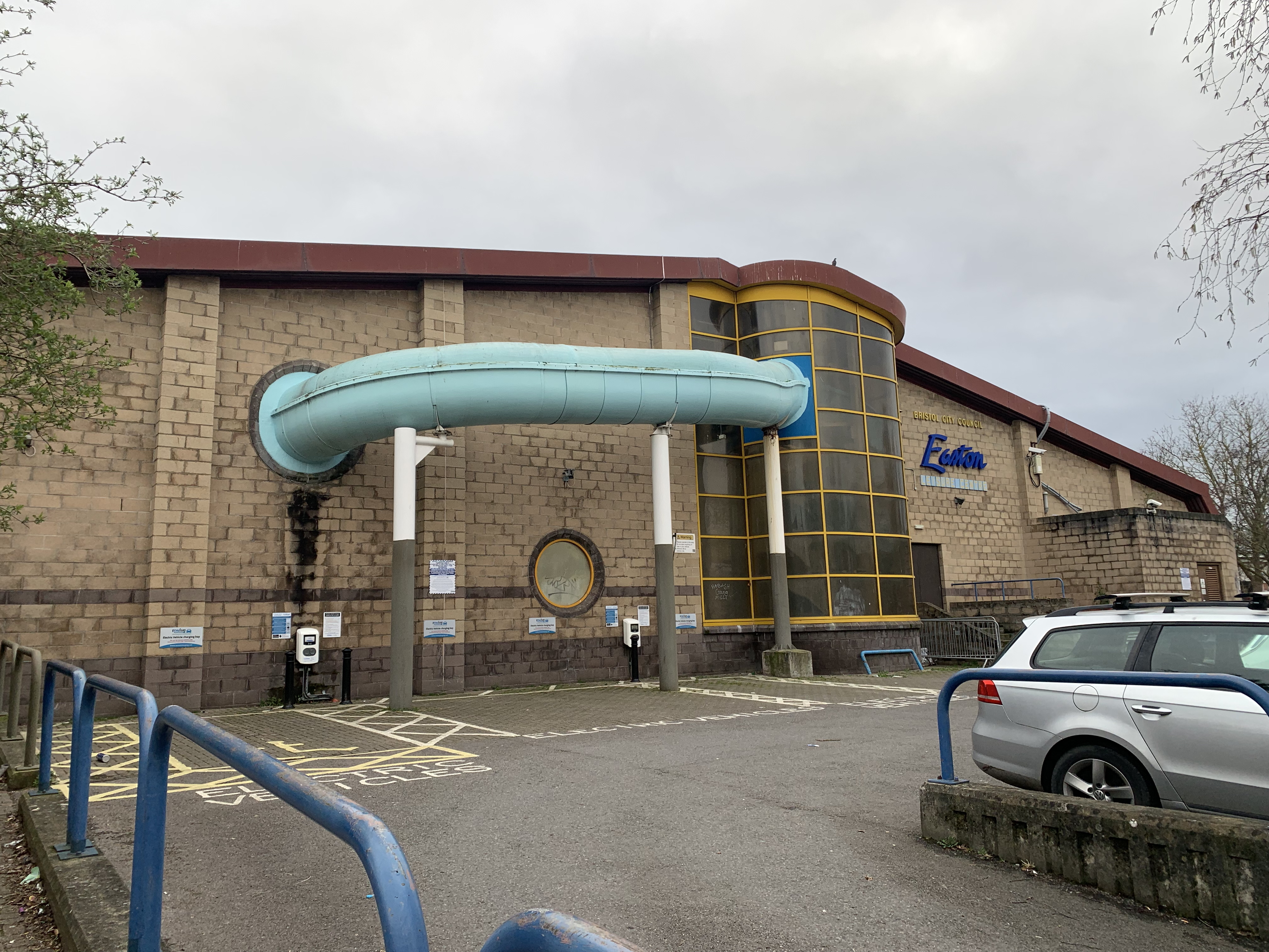
Easton Leisure Centre
Easton Leisure Centre is a leisure centre in Easton, Bristol, UK. It contains a gym and swimming pool. It is one of the three most used leisure facilities...

Lawrence Hill, Bristol
Lawrence Hill is an electoral ward of Bristol, United Kingdom and includes the districts of Barton Hill, St Philips Marsh and Redcliffe, Temple Meads and...

Moorfields, Bristol
Moorfields is an area of Bristol, England. It lies in the east of the city, east of Barton Hill, south of Easton and west of Redfield. The name is no...

St Peter and St Paul, Bristol
St Peter and St Paul, Bristol is the church of Bristol's principal Greek Orthodox congregation. It is situated in the Lower Ashley Road. The building was...
Nearby Amenities
Located within 500m of 51.461486,-2.5670347Have you been to Upper Easton?
Leave your review of Upper Easton below (or comments, questions and feedback).