Thorns Green
Settlement in Yorkshire Richmondshire
England
Thorns Green
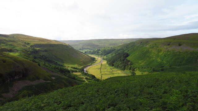
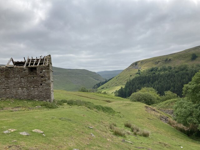
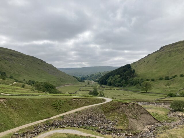
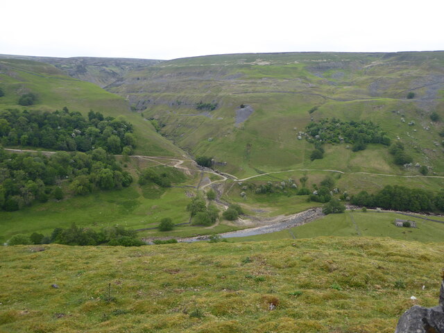
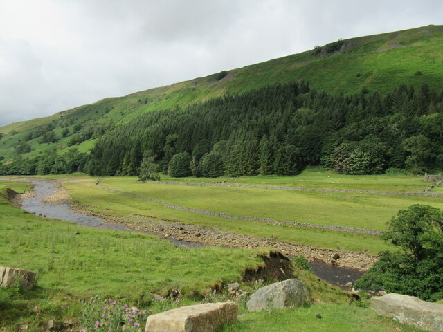
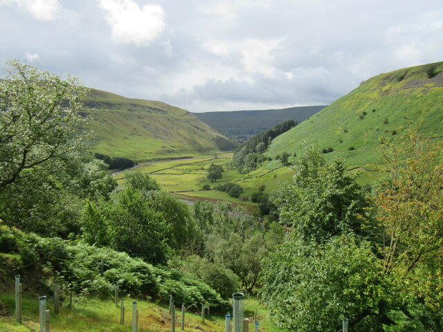
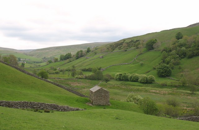
Thorns Green is a small village located in the county of Yorkshire, England. Situated in the Ryedale district, it lies approximately 5 miles to the northwest of the market town of Malton and 20 miles east of York. The village is surrounded by picturesque countryside, characterized by rolling hills and lush green fields.
Thorns Green is known for its tranquil and idyllic setting, offering residents and visitors a peaceful retreat from the hustle and bustle of modern life. The village is home to a tight-knit community, with a population of around 200 people. The residents mainly engage in farming and agriculture, contributing to the village's rural charm.
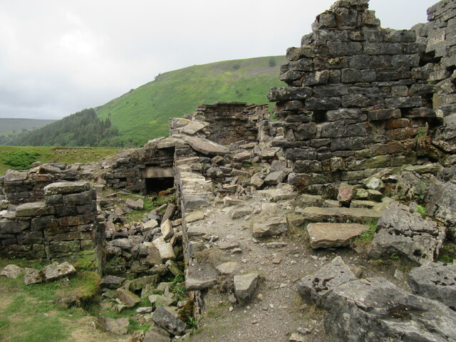
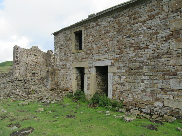
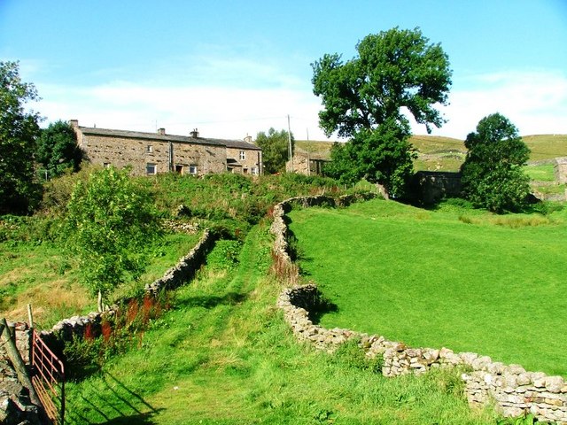
The village features a small number of traditional stone-built houses and cottages, which add to its quintessential English countryside ambiance. Thorns Green is also home to a charming village church, St. Mary's, which dates back to the 12th century and is a popular spot for history enthusiasts.
While Thorns Green itself does not have many amenities, the nearby town of Malton offers a range of facilities including shops, schools, and healthcare services. The village is also well-connected to surrounding areas, with regular bus services available.
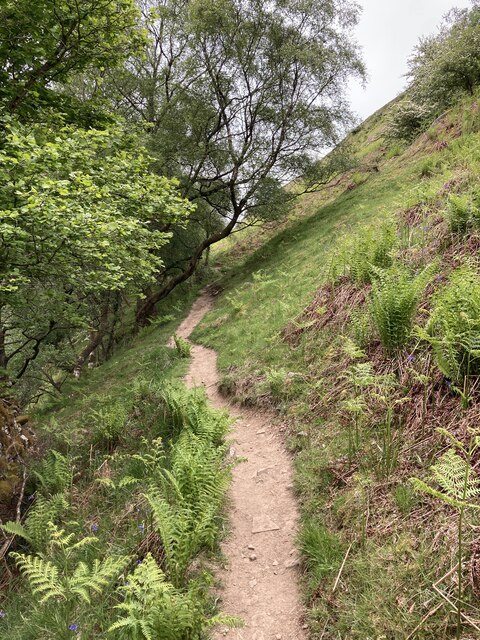
For nature lovers and outdoor enthusiasts, Thorns Green provides ample opportunities for exploring the surrounding countryside, with numerous walking and cycling routes to enjoy. The village's proximity to the North York Moors National Park also makes it an ideal base for those wishing to explore this stunning natural landscape. Overall, Thorns Green offers a charming and peaceful retreat for those seeking a slower pace of life in the heart of Yorkshire's beautiful countryside.
If you have any feedback on the listing, please let us know in the comments section below.
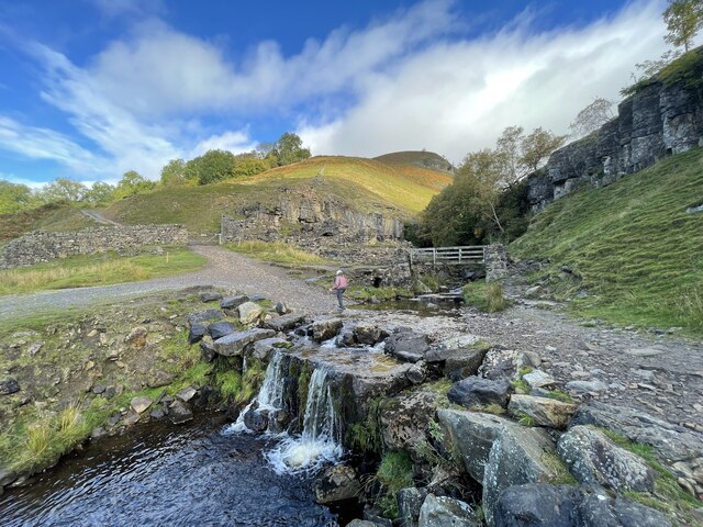
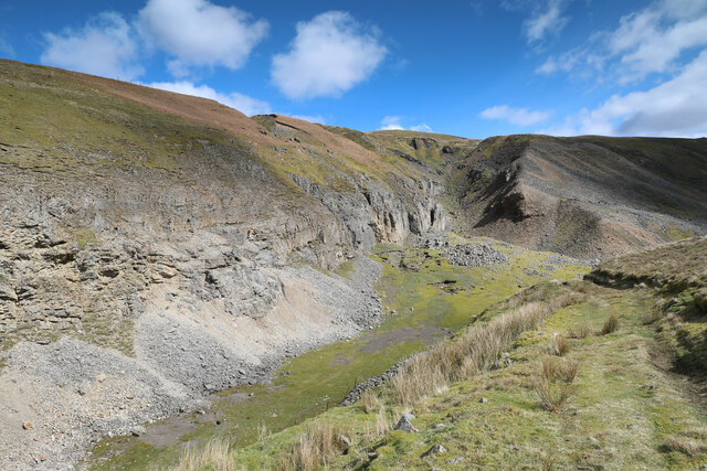
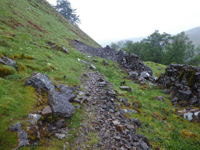
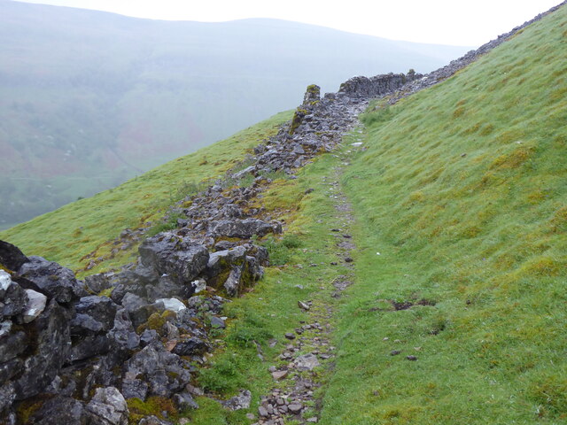
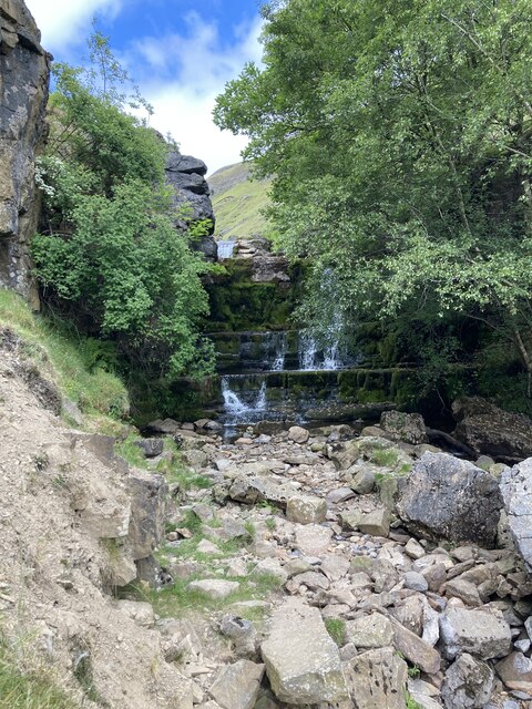
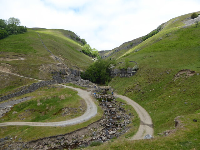
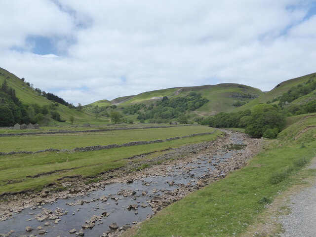
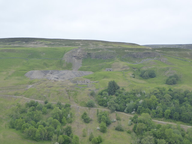
Thorns Green Images
Images are sourced within 2km of 54.399444/-2.1699849 or Grid Reference NY8900. Thanks to Geograph Open Source API. All images are credited.
Thorns Green is located at Grid Ref: NY8900 (Lat: 54.399444, Lng: -2.1699849)
Division: North Riding
Administrative County: North Yorkshire
District: Richmondshire
Police Authority: North Yorkshire
What 3 Words
///national.pits.increased. Near Kirkby Stephen, Cumbria
Nearby Locations
Related Wikis

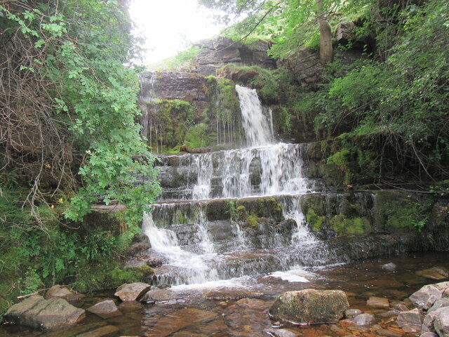
Catrake Force
Catrake Force is a waterfall on the River Swale in North Yorkshire, England. It is not visible from the road but is accessible via a campsite in Keld....
Angram Bottoms
Angram Bottoms (grid reference SD891999) is a 9.8 hectares (24 acres) biological Site of Special Scientific Interest (SSSI) near to the village of Angram...

Keld, North Yorkshire
Keld is a village in the English county of North Yorkshire. It is in Swaledale, and the Yorkshire Dales National Park. The name derives from the Viking...
Angram, Richmondshire
Angram is a hamlet in the Yorkshire Dales in the Richmondshire district of North Yorkshire, England. It is situated near to Keld to the north and Thwaite...

East Gill Force
East Gill Force is a waterfall in Swaledale, 330 yards (300 m) east of the hamlet of Keld, in the Yorkshire Dales National Park, North Yorkshire, England...

Kisdon Force
Kisdon Force is a series of waterfalls on the River Swale in Swaledale, England. The falls are situated within the Yorkshire Dales National Park in the...

Kisdon
Kisdon, also called Kisdon Hill, is a fell situated in upper Swaledale in the Yorkshire Dales National Park in North Yorkshire, England. == Geography... ==

Wain Wath Force
Wain Wath Force is a waterfall on the River Swale in the Yorkshire Dales National Park, North Yorkshire, England. The falls are at grid reference NY883015...
Nearby Amenities
Located within 500m of 54.399444,-2.1699849Have you been to Thorns Green?
Leave your review of Thorns Green below (or comments, questions and feedback).