Birk Hill

Hill, Mountain in Yorkshire Richmondshire

England

Birk Hill

Swinner Gill Ford This ford at Swinner Gill is found on the bridleway between Muker and Keld. A video of the ford can be viewed at:
<span class="nowrap"><a title="https://youtu.be/pRj-GMUVvRE" rel="nofollow ugc noopener" href="https://youtu.be/pRj-GMUVvRE">Link</a><img style="margin-left:2px;" alt="External link" title="External link - shift click to open in new window" src="https://s1.geograph.org.uk/img/external.png" width="10" height="10"/></span>
Swinner Gill Ford Credit: John Walton

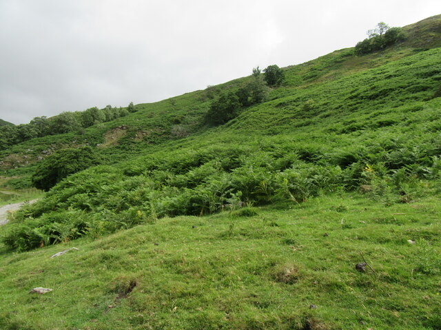
Birk Hill is a prominent hill located in Yorkshire, England. It is situated within the beautiful North York Moors National Park, near the village of Egton. Birk Hill stands at an elevation of approximately 397 meters (1,302 feet) above sea level, making it one of the highest points in the region.

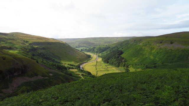
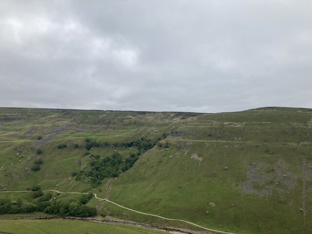
This hill offers stunning panoramic views of the surrounding countryside. From the summit, visitors can enjoy breathtaking vistas of the rolling moorland, picturesque valleys, and distant hills. On clear days, it is even possible to see as far as the North Sea coastline.

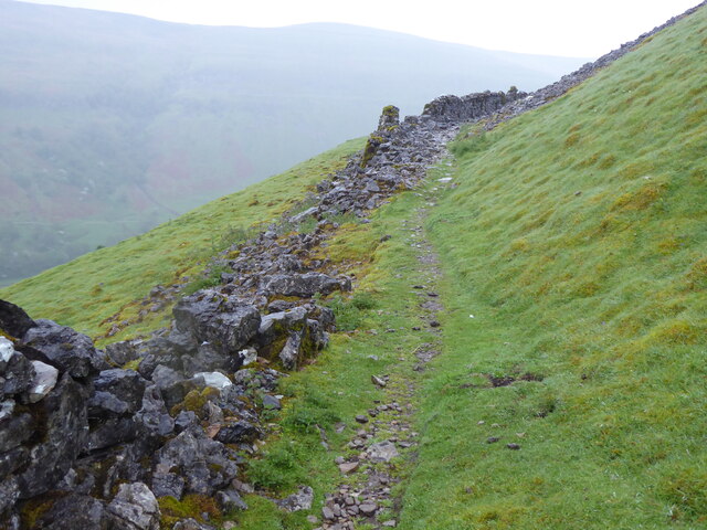
Birk Hill is renowned for its natural beauty and is a popular destination for hikers, nature enthusiasts, and photographers. The hill is covered in heather and grass, which creates a colorful landscape, especially during the summer months when the heather blooms in vibrant purple hues. The area is also home to various species of wildlife, including birds, rabbits, and deer, making it an ideal spot for birdwatching and wildlife spotting.

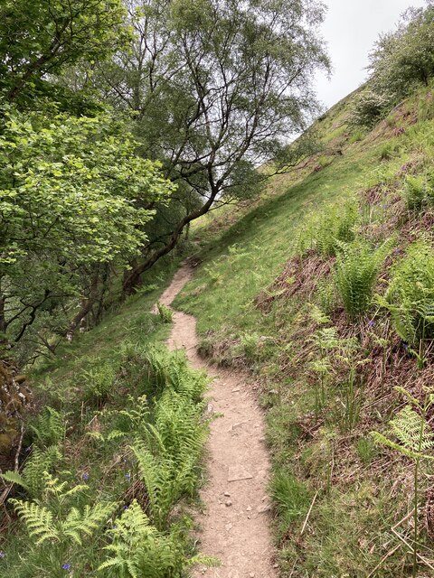
There are several walking trails that lead to the top of Birk Hill, catering to different levels of fitness and experience. These paths meander through the picturesque countryside, offering visitors a chance to immerse themselves in the tranquil and serene atmosphere of the North York Moors.

In conclusion, Birk Hill is a breathtaking natural landmark in Yorkshire, offering visitors the opportunity to explore the beauty of the North York Moors. With its stunning views, diverse wildlife, and peaceful surroundings, this hill is a must-visit destination for nature lovers and outdoor enthusiasts alike.

If you have any feedback on the listing, please let us know in the comments section below.
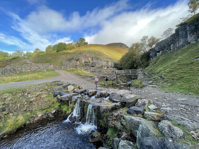
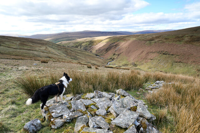
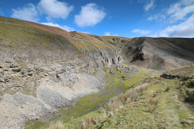
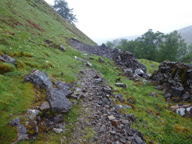
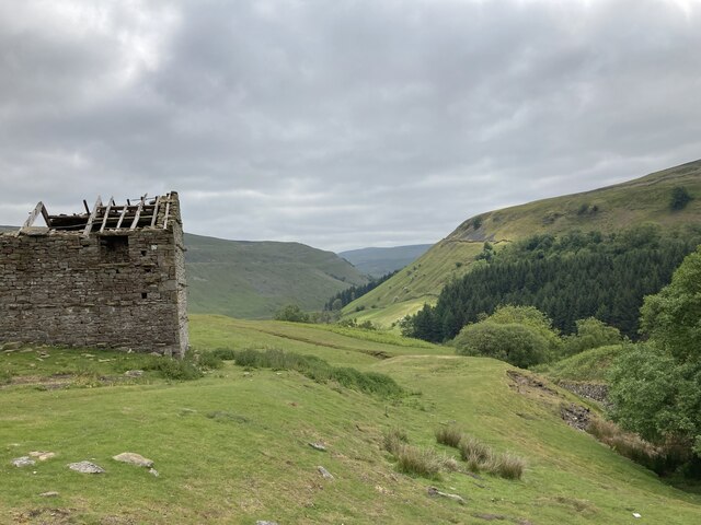
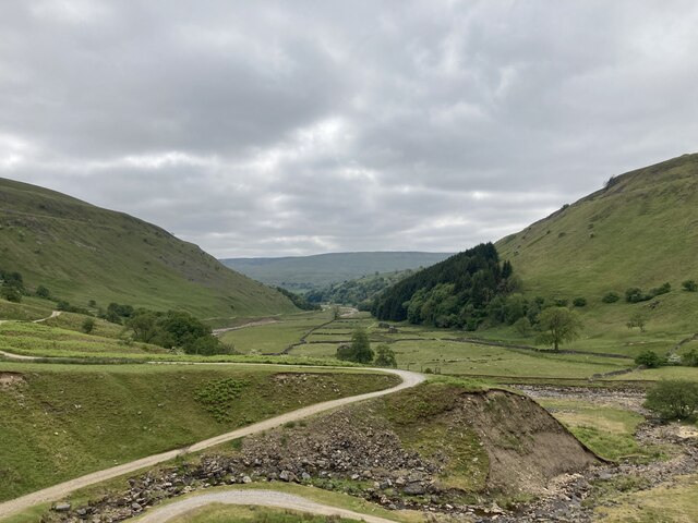
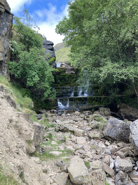
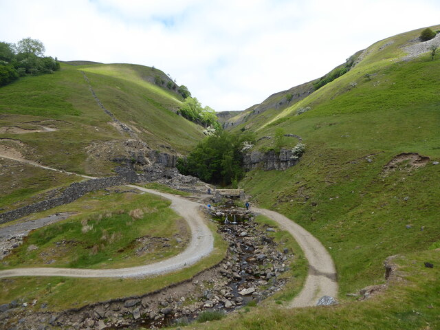
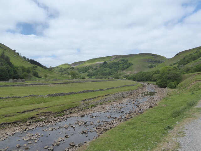
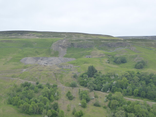
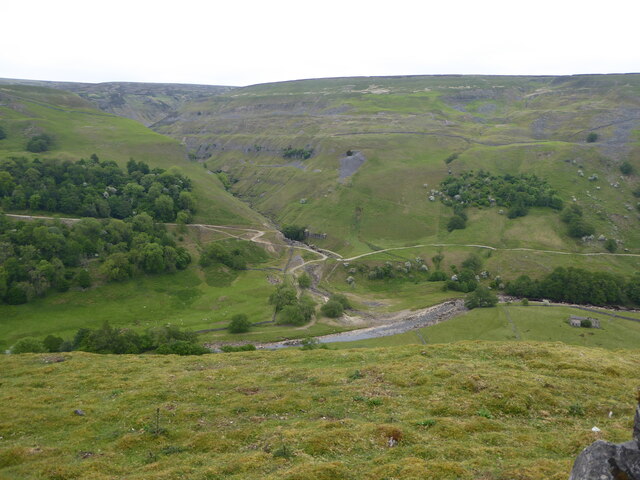
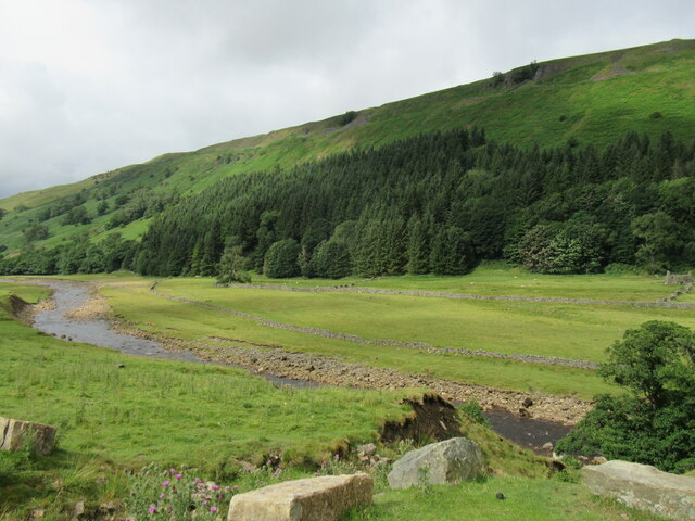
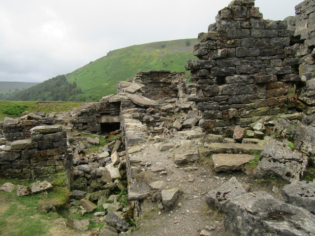
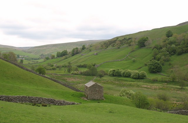
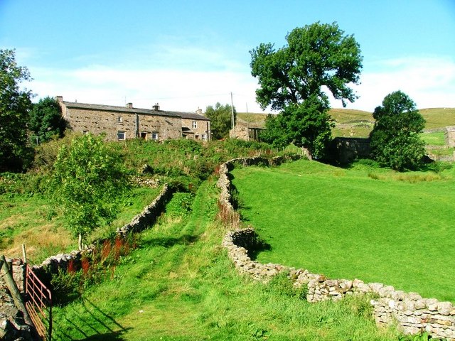
Birk Hill Images

Images are sourced within 2km of 54.403359/-2.1590331 or Grid Reference NY8900. Thanks to Geograph Open Source API. All images are credited.

Swinner Gill Ford This ford at Swinner Gill is found on the bridleway between Muker and Keld. A video of the ford can be viewed at:
<span class="nowrap"><a title="https://youtu.be/pRj-GMUVvRE" rel="nofollow ugc noopener" href="https://youtu.be/pRj-GMUVvRE">Link</a><img style="margin-left:2px;" alt="External link" title="External link - shift click to open in new window" src="https://s1.geograph.org.uk/img/external.png" width="10" height="10"/></span>
Swinner Gill Ford
This ford at Swinner Gill is found on the bridleway between Muker and Keld. A video of the ford can be viewed at: LinkExternal link
East Gill from south of Long Gill The rather indistinct and intermittent quad bike tracks that form the only guide to the easiest route on the east bank of East Gill have just made a rather precarious and boggy crossing of Long Gill and ascended back onto firm ground. This pile of stones (it hardly qualifies as a cairn) commands a view over East Gill as it cuts down on its way to join the River Swale down a series of waterfalls into the Keld Gorge.
East Gill from south of Long Gill
The rather indistinct and intermittent quad bike tracks that form the only guide to the easiest route on the east bank of East Gill have just made a rather precarious and boggy crossing of Long Gill and ascended back onto firm ground. This pile of stones (it hardly qualifies as a cairn) commands a view over East Gill as it cuts down on its way to join the River Swale down a series of waterfalls into the Keld Gorge.
Lead mining scars at Beldi Hill Remarkably invisible from the popular public bridleway along the Swale left bank in Keld Gorge just a quarter kilometre to the south, the Beldi Hill workings have left a huge scar. A large chunk has been washed out of Hall Edge by hushing (a crude but effective form of hydraulic mining) over a long period, with the ore being transported to facilities downhill and to the east for smelting into lead.
Lead mining scars at Beldi Hill
Remarkably invisible from the popular public bridleway along the Swale left bank in Keld Gorge just a quarter kilometre to the south, the Beldi Hill workings have left a huge scar. A large chunk has been washed out of Hall Edge by hushing (a crude but effective form of hydraulic mining) over a long period, with the ore being transported to facilities downhill and to the east for smelting into lead.
The Pennine Way near Rukin Wood
The R Swale valley looking S from E of Crackpot Hall
West Arn Gill from North Gan Scar
The Pennine Way above Rukin Wood
Ruined barn above West Wood
Looking down Swaledale from Swinner Gill
Waterfall in Swinner Gill
Looking up Swinner Gill There are ruined buildings beside the footbridge which are remnants of the lead mining industry.
Looking up Swinner Gill
There are ruined buildings beside the footbridge which are remnants of the lead mining industry.
Looking up Swaledale
Looking across Swaledale towards Crackpot Hall
Looking across Swaledale towards Swinner Gill
Near West Arn Gill Looking SW.
Near West Arn Gill
Looking SW.
Near Swinner Gill In Swaledale.
Near Swinner Gill
In Swaledale.
Ruined mining building in Swinner Gill By the waterfall in Swinner Gill.
Ruined mining building in Swinner Gill
By the waterfall in Swinner Gill.
Show me another place!

Birk Hill is located at Grid Ref: NY8900 (Lat: 54.403359, Lng: -2.1590331)

Division: North Riding

Administrative County: North Yorkshire

District: Richmondshire

Police Authority: North Yorkshire

What 3 Words

///nerve.pastels.patching. Near Kirkby Stephen, Cumbria

Related Wikis

Kisdon Force

Kisdon Force is a series of waterfalls on the River Swale in Swaledale, England. The falls are situated within the Yorkshire Dales National Park in the...

East Gill Force

East Gill Force is a waterfall in Swaledale, 330 yards (300 m) east of the hamlet of Keld, in the Yorkshire Dales National Park, North Yorkshire, England...

Catrake Force

Catrake Force is a waterfall on the River Swale in North Yorkshire, England. It is not visible from the road but is accessible via a campsite in Keld....

Keld, North Yorkshire

Keld is a village in the English county of North Yorkshire. It is in Swaledale, and the Yorkshire Dales National Park. The name derives from the Viking...

Kisdon

Kisdon, also called Kisdon Hill, is a fell situated in upper Swaledale in the Yorkshire Dales National Park in North Yorkshire, England. == Geography... ==

Angram Bottoms

Angram Bottoms (grid reference SD891999) is a 9.8 hectares (24 acres) biological Site of Special Scientific Interest (SSSI) near to the village of Angram...

Angram, Richmondshire

Angram is a hamlet in the Yorkshire Dales in the Richmondshire district of North Yorkshire, England. It is situated near to Keld to the north and Thwaite...

Wain Wath Force

Wain Wath Force is a waterfall on the River Swale in the Yorkshire Dales National Park, North Yorkshire, England. The falls are at grid reference NY883015...

Nearby Amenities

Located within 500m of 54.403359,-2.1590331
East Gill Force (upper)
Image: https://www.geograph.org.uk/photo/5105644
Waterway: waterfall
Wikidata: Q5328445
Wikipedia: en:East Gill Force
Lat/Long: 54.4053284/-2.1610951
Kisdon Force
Image: https://www.geograph.org.uk/photo/613040
Waterway: waterfall
Wikidata: Q4584456
Wikipedia: en:Kisdon Force
Lat/Long: 54.4041573/-2.1576273
Birk Hill
Natural: peak
Source: OS OpenData StreetView
Lat/Long: 54.4035042/-2.158482
Landy Lead Level
Historic: mine
Mineral: lead
Photo: https://www.flickr.com/photos/theleadminer/2707649126/
Source: OS OpenData StreetView
Lat/Long: 54.40416/-2.1530532
Beldi Hill
Natural: peak
Source: OS OpenData StreetView
Lat/Long: 54.405259/-2.1539115
East Stonesdale
Place: farm
Lat/Long: 54.4066098/-2.1631967
Barrier: stile
Foot: yes
Lat/Long: 54.4020368/-2.156678
Information: guidepost
Tourism: information
Lat/Long: 54.4054867/-2.1611639
East Gill Force (lower)
Image: https://www.geograph.org.uk/photo/4636531
Waterway: waterfall
Lat/Long: 54.4048635/-2.1613949
Historic: memorial
Image: https://www.geograph.org.uk/photo/2868592
Memorial: war_memorial
Lat/Long: 54.4033415/-2.1666764
Hiking: yes
Image: https://www.geograph.org.uk/photo/5837220
Information: guidepost
Tourism: information
Lat/Long: 54.404681/-2.1631722
Power: pole
Lat/Long: 54.4036733/-2.1639526
Power: pole
Lat/Long: 54.4046327/-2.1655981
Power: pole
Lat/Long: 54.4040792/-2.1646486
Power: pole
Lat/Long: 54.4030722/-2.1644528
Power: pole
Lat/Long: 54.4023115/-2.1650784
Power: pole
Lat/Long: 54.4014594/-2.1657731
Power: pole
Lat/Long: 54.4042326/-2.1661654
Bench
Backrest: yes
Source: survey
Lat/Long: 54.4054421/-2.161146
Bench
Backrest: yes
Source: survey
Lat/Long: 54.4054424/-2.1611948
Information: guidepost
Tourism: information
Lat/Long: 54.4032799/-2.1604954
Information: guidepost
Tourism: information
Lat/Long: 54.4031769/-2.1587647
Information: guidepost
Tourism: information
Lat/Long: 54.4020193/-2.1566905
The data included in this document is from www.openstreetmap.org. The data is made available under ODbL.

Have you been to Birk Hill?

Leave your review of Birk Hill below (or comments, questions and feedback).