Thorns Beach

Settlement in Hampshire New Forest

England

Thorns Beach

Grazing and woodland near St Leonard's Farm
Grazing and woodland near St Leonard's Farm Credit: JThomas

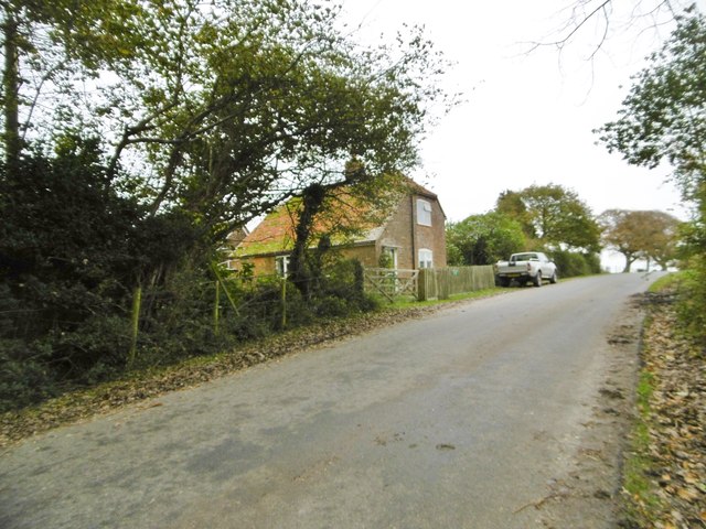
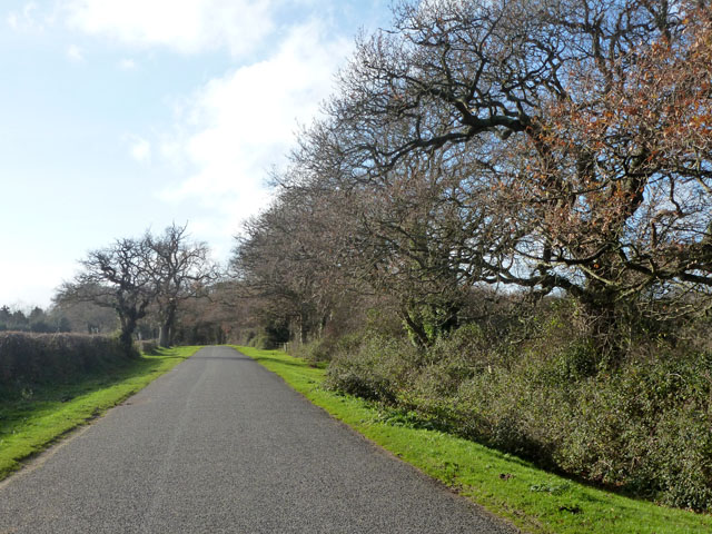
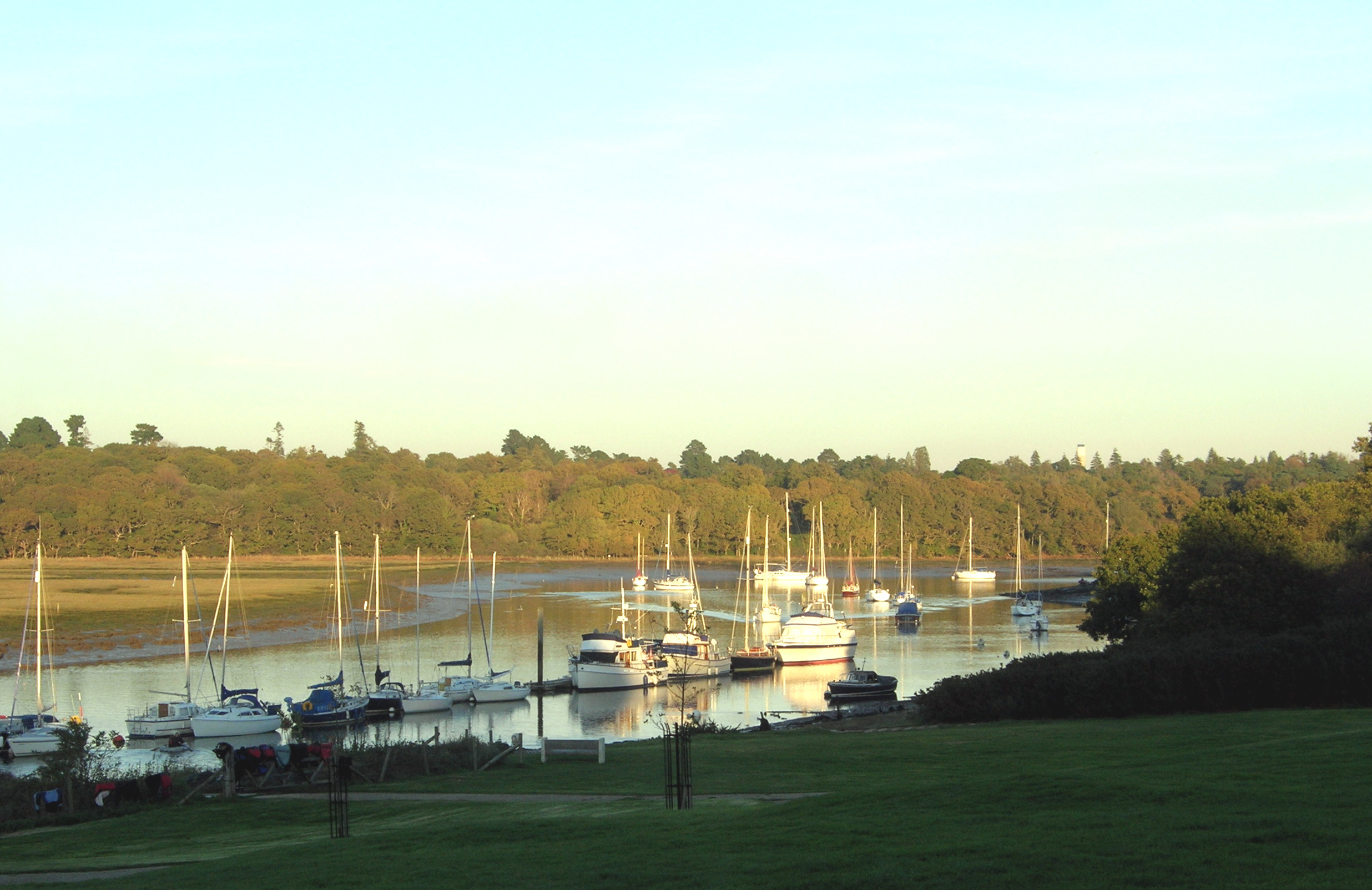
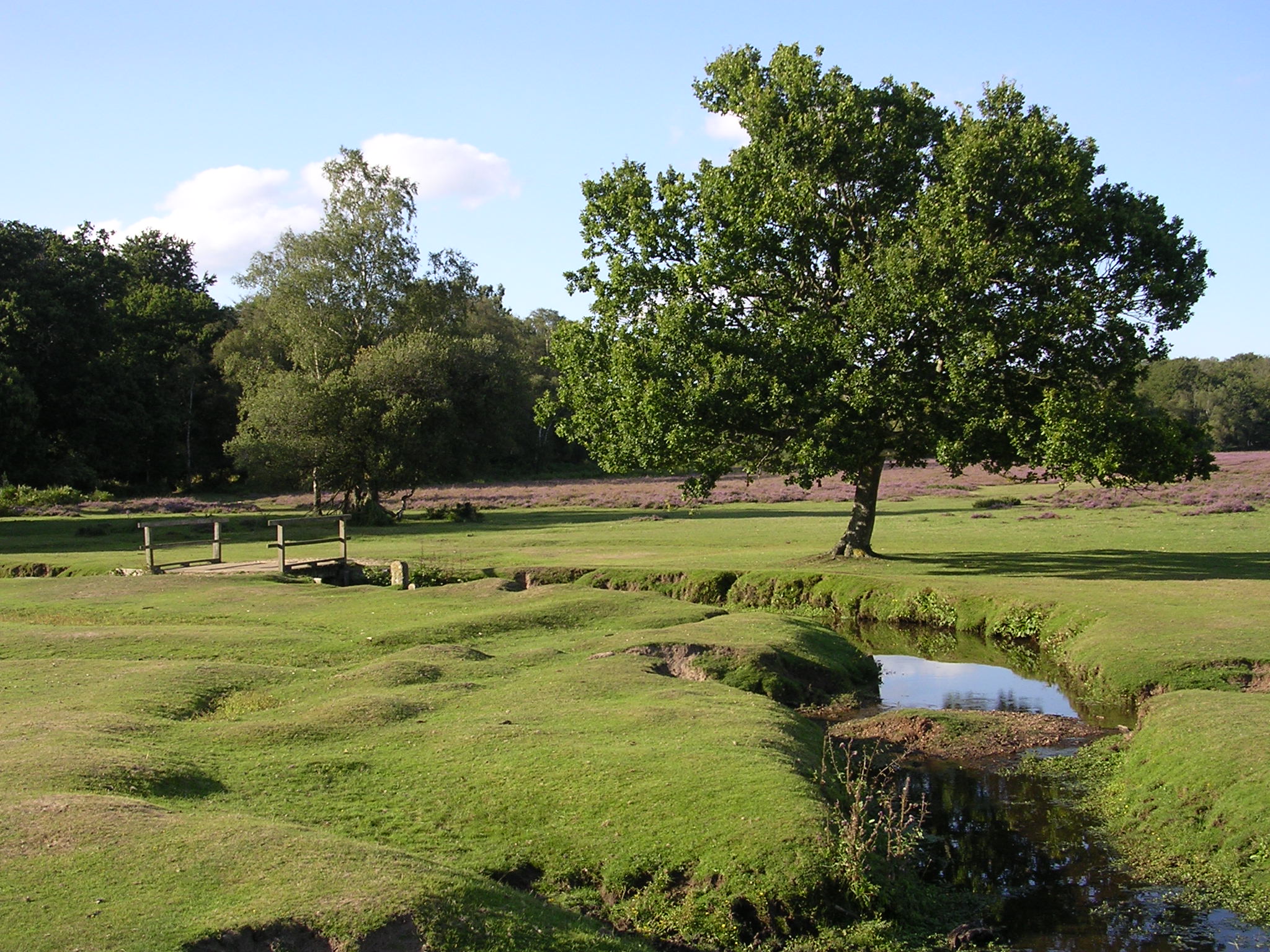
Thorns Beach is a picturesque coastal area located in Hampshire, England. Situated on the southern coast of the country, it offers stunning views of the English Channel and is known for its natural beauty and peaceful atmosphere. The beach is nestled between two cliffs, providing a sheltered environment and a sense of seclusion.

Thorns Beach is renowned for its sandy shoreline, which stretches for approximately one kilometer. The sand is fine and golden, making it a popular destination for sunbathers and families looking to relax by the sea. The beach is also ideal for long walks, with a promenade that runs parallel to the shore, offering panoramic views of the surrounding area.

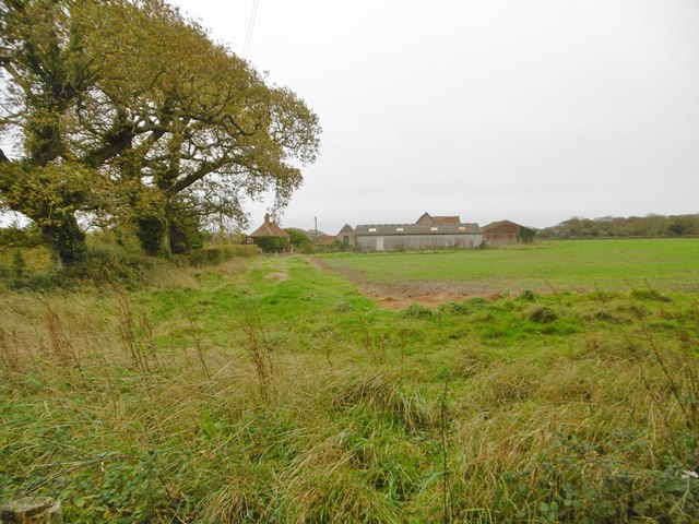
One of the highlights of Thorns Beach is the abundance of wildlife that can be observed in the area. Seagulls, cormorants, and other coastal birds can often be seen flying overhead or perched on the nearby cliffs. The beach is also home to various marine life, including crabs and small fish, making it an appealing spot for nature enthusiasts.

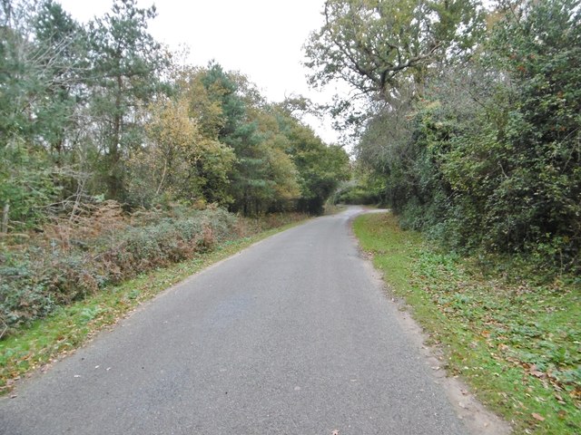
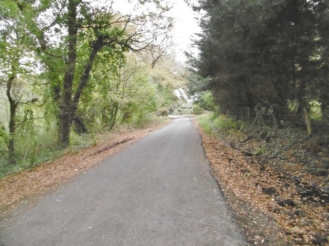
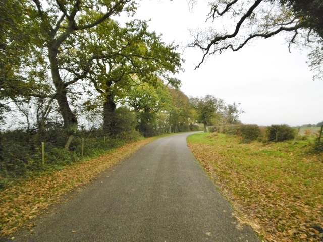
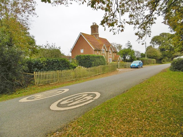
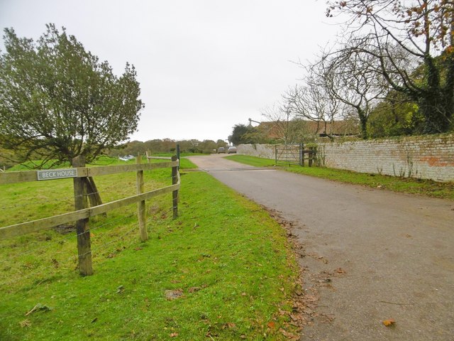
Facilities at Thorns Beach include a car park, public toilets, and a small café where visitors can grab refreshments and snacks. The beach is easily accessible, with a well-maintained road leading to the parking area.

Overall, Thorns Beach offers a serene and scenic coastal experience. Its natural beauty, tranquil atmosphere, and diverse wildlife make it a favorite destination for both locals and tourists seeking a peaceful retreat by the sea.

If you have any feedback on the listing, please let us know in the comments section below.

Thorns Beach Images

Images are sourced within 2km of 50.76581/-1.4421953 or Grid Reference SZ3996. Thanks to Geograph Open Source API. All images are credited.

Grazing and woodland near St Leonard's Farm
Minor road towards East End
Sowley Farm Looking at surrounding fields, the farm is given over to cereal production.
Sowley Farm
Looking at surrounding fields, the farm is given over to cereal production.
Sowley Pond In scale, more of a lake than a pond; fed by Crockford Stream, and flowing into the Solent at Sowley Marsh. <span class="nowrap"><a title="https://en.wikipedia.org/wiki/Sowley_Pond" rel="nofollow ugc noopener" href="https://en.wikipedia.org/wiki/Sowley_Pond">Link</a><img style="margin-left:2px;" alt="External link" title="External link - shift click to open in new window" src="https://s1.geograph.org.uk/img/external.png" width="10" height="10"/></span>
Sowley Pond
In scale, more of a lake than a pond; fed by Crockford Stream, and flowing into the Solent at Sowley Marsh. LinkExternal link
Sowley, drive Entrance to Sowley House (in the distance), centrepiece of the Sowley Estate.
Sowley, drive
Entrance to Sowley House (in the distance), centrepiece of the Sowley Estate.
Sowley Lane Country lane from Pylewell to St Leonards Road.
Sowley Lane
Country lane from Pylewell to St Leonards Road.
Sowley Lane Country lane from Pylewell to St Leonards Road.
Sowley Lane
Country lane from Pylewell to St Leonards Road.
Sowley, Whitehouse Cottages Estate cottages on Sowley Lane.
Sowley, Whitehouse Cottages
Estate cottages on Sowley Lane.
Sowley Lane Country lane from Pylewell to St Leonards Road.
Sowley Lane
Country lane from Pylewell to St Leonards Road.
Sowley, Thorns Cottages Estate cottages on Sowley Lane.
Sowley, Thorns Cottages
Estate cottages on Sowley Lane.
Sowley, cropland Winter cereals, next to Sowley Lane.
Sowley, cropland
Winter cereals, next to Sowley Lane.
Sowley, road junction At the end of Sowley Lane, approaching St Leonards Road; the Solent Way continues to the right. <span class="nowrap"><a title="http://www3.hants.gov.uk/longdistance/walking-solentway.htm" rel="nofollow ugc noopener" href="http://www3.hants.gov.uk/longdistance/walking-solentway.htm">Link</a><img style="margin-left:2px;" alt="External link" title="External link - shift click to open in new window" src="https://s1.geograph.org.uk/img/external.png" width="10" height="10"/></span>
Sowley, road junction
At the end of Sowley Lane, approaching St Leonards Road; the Solent Way continues to the right. LinkExternal link
Sowley, Beck Farm Cottage Estate cottage on St Leonards Road.
Sowley, Beck Farm Cottage
Estate cottage on St Leonards Road.
Sowley, entrance To Beck House; the entrance to the farm is to the West.
Sowley, entrance
To Beck House; the entrance to the farm is to the West.
Sowley Lane The oaks in this area seem particularly twisted, and not very large - perhaps the effects of wind off the sea.
Sowley Lane
The oaks in this area seem particularly twisted, and not very large - perhaps the effects of wind off the sea.
Sowley Lane The large Sowley Pond is through the trees on the right, but hard to see from the road.
Sowley Lane
The large Sowley Pond is through the trees on the right, but hard to see from the road.
Beck farm
Beck farm
Field edge near Thorns Corner
Show me another place!

Thorns Beach is located at Grid Ref: SZ3996 (Lat: 50.76581, Lng: -1.4421953)

Administrative County: Hampshire

District: New Forest

Police Authority: Hampshire

What 3 Words

///superhero.quietest.buck. Near Lymington, Hampshire

Nearby Locations

Thorns Marsh Thorns Beach

Related Wikis

RAF Needs Oar Point

Royal Air Force Needs Oar Point or more simply RAF Needs Oar Point is a former Royal Air Force advanced landing ground located near Lymington in Hampshire...

South Hampshire Coast

The South Hampshire Coast was an Area of Outstanding Natural Beauty (AONB) in Hampshire, England, UK that was subsumed into the New Forest National Park...

Sowley Pond

Sowley Pond is a 49.3-hectare (122-acre) biological Site of Special Scientific Interest east of Lymington in Hampshire. It is part of Solent and Southampton...

Beaulieu River

The Beaulieu River ( BEW-lee), formerly known as the River Exe, is a small river draining much of the central New Forest in Hampshire, southern England...

East End, Hampshire

East End is a hamlet in the civil parish of East Boldre in the New Forest National Park of Hampshire, England. Its nearest town is Lymington, which lies...

Norley Copse and Meadow

Norley Copse and Meadow is a 7.5-hectare (19-acre) biological Site of Special Scientific Interest east of Lymington in Hampshire. It is part of New Forest...

Buckler's Hard

Buckler's Hard is a hamlet on the banks of the Beaulieu River in the English county of Hampshire. With its Georgian cottages running down to the river...

Norley Wood

Norley Wood (or Norleywood) is a hamlet in the New Forest National Park of Hampshire, England. It is in the civil parish of Boldre. Its nearest town...

Nearby Amenities

Located within 500m of 50.76581,-1.4421953
Post Box
Collection Times: Mo-Fr 10:30; Sa 10:30
Drive Through: no
Operator: Royal Mail
Operator Wikidata: Q638098
Ref: SO42 128
Lat/Long: 50.7657303/-1.4425511
Turning Circle
Lat/Long: 50.7650703/-1.4392304
Thorns Beach
Place: hamlet
Lat/Long: 50.7657784/-1.4389885
Thorns Beach House helipad
Aeroway: helipad
Surface: grass
Lat/Long: 50.7635187/-1.4434984
The data included in this document is from www.openstreetmap.org. The data is made available under ODbL.

Have you been to Thorns Beach?

Leave your review of Thorns Beach below (or comments, questions and feedback).