Thornthwaite
Settlement in Cumberland Allerdale
England
Thornthwaite
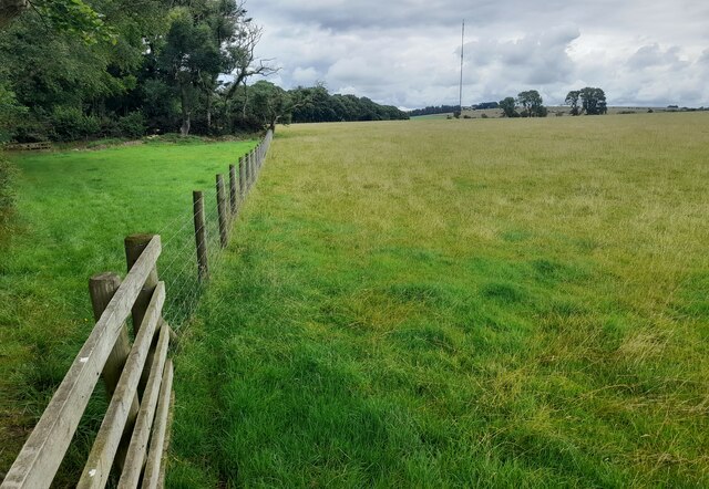
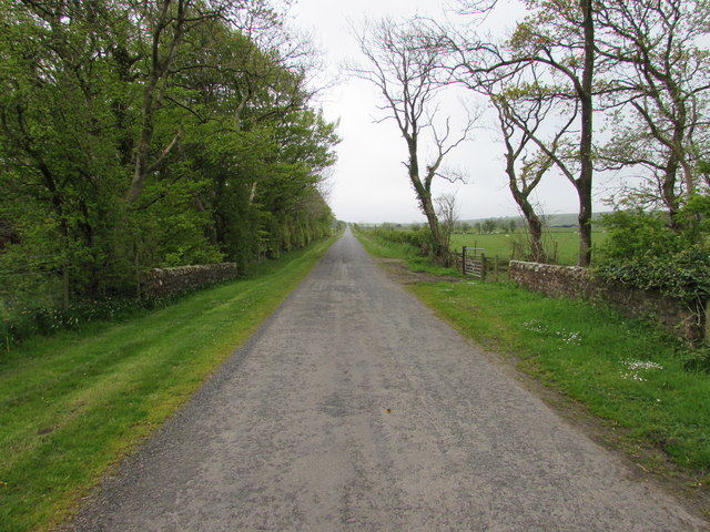
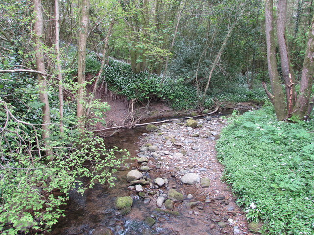
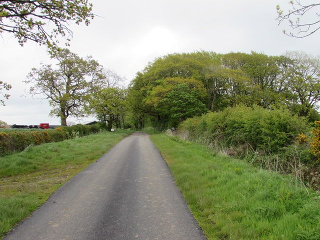
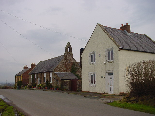
Thornthwaite is a small village located in the district of Cumberland, in the northwestern region of England. Situated in the picturesque Lake District National Park, Thornthwaite is nestled between the towns of Keswick and Braithwaite. The village is known for its stunning natural beauty, with breathtaking views of the surrounding mountains and forests.
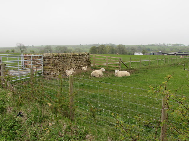
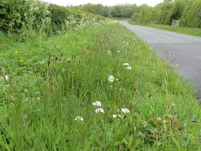
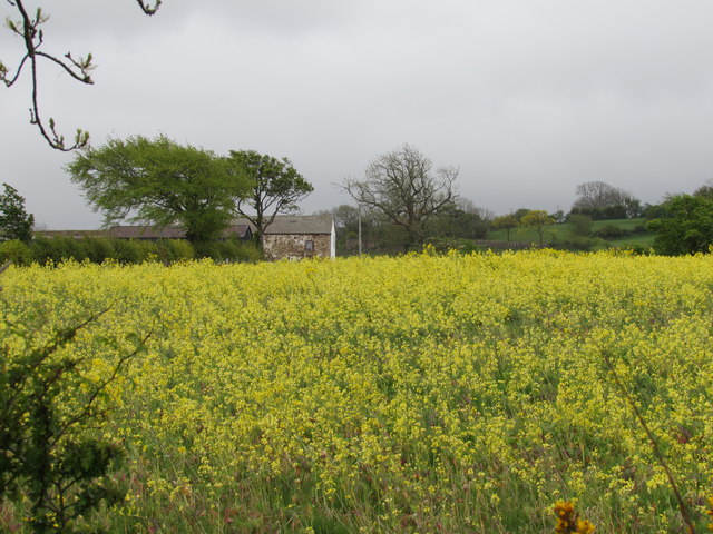
Thornthwaite is home to a close-knit community, with a population of around 200 residents. The village retains a traditional charm, with a mix of historic cottages and modern houses lining its quiet streets. The local economy primarily revolves around agriculture, with many residents involved in farming and sheep rearing. The village is also a popular destination for tourists, who are drawn to its tranquil ambiance and idyllic countryside.
One of the notable attractions in Thornthwaite is the Whinlatter Forest Park, which is situated just a short distance from the village. This vast forest offers an array of outdoor activities, including walking trails, cycling paths, and a high ropes adventure course. The park is also home to a visitor center, where visitors can learn about the local flora and fauna.
Thornthwaite is also renowned for its close proximity to Bassenthwaite Lake, one of the largest and most beautiful lakes in the Lake District. The lake offers opportunities for boating, fishing, and wildlife spotting. The nearby Dodd Wood is a popular spot for hiking and offers panoramic views of the surrounding area.
In summary, Thornthwaite is a charming village in Cumberland, England, known for its natural beauty, friendly community, and its location within the stunning Lake District National Park.
If you have any feedback on the listing, please let us know in the comments section below.
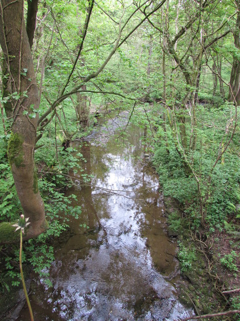
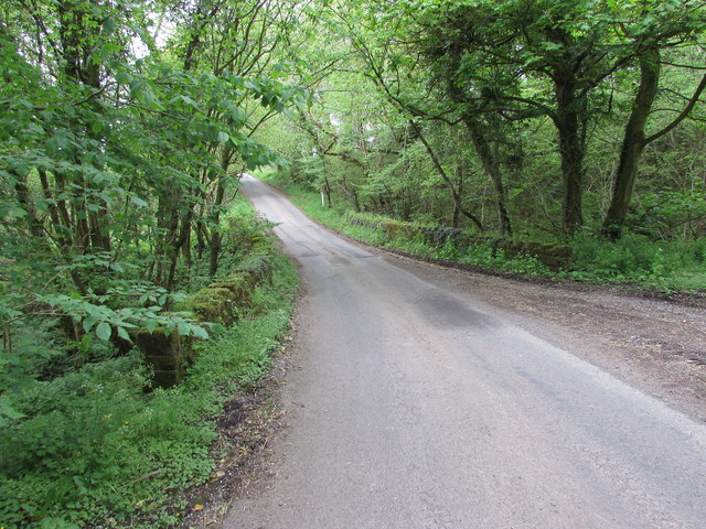
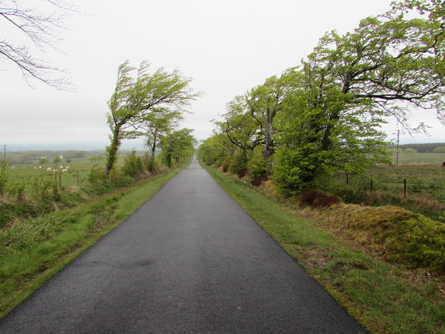
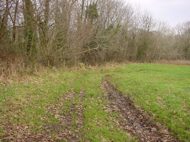
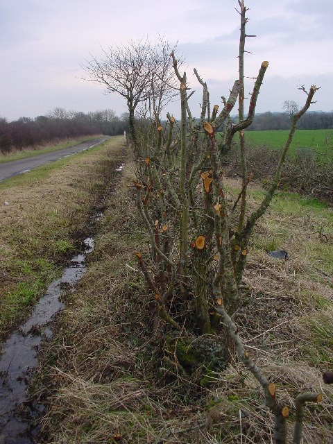
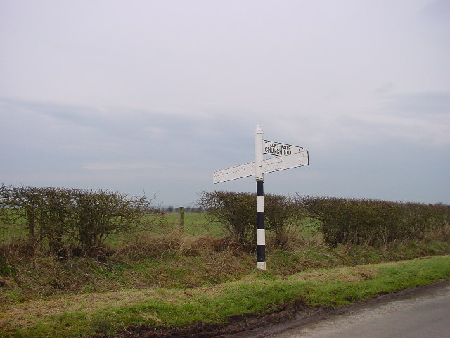
Thornthwaite Images
Images are sourced within 2km of 54.7669/-3.1404682 or Grid Reference NY2641. Thanks to Geograph Open Source API. All images are credited.
Thornthwaite is located at Grid Ref: NY2641 (Lat: 54.7669, Lng: -3.1404682)
Administrative County: Cumbria
District: Allerdale
Police Authority: Cumbria
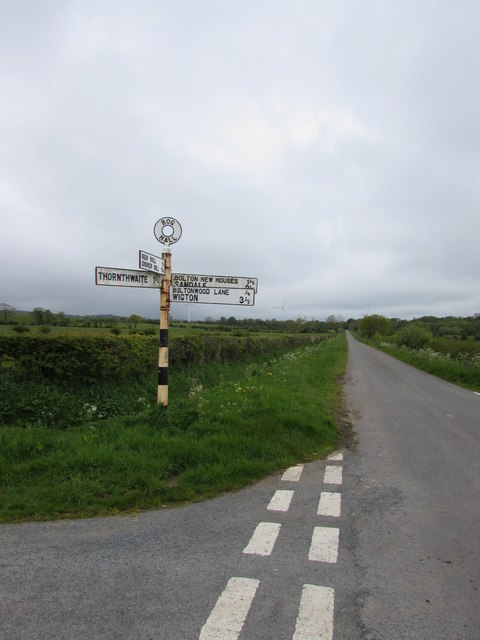
What 3 Words
///outgrown.beauty.correct. Near Wigton, Cumbria
Nearby Locations
Related Wikis

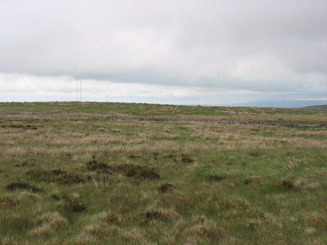
Sandale transmitting station
The Sandale transmitting station is the main radio transmitting station for the county of Cumbria, including the Lake District, and eastern Dumfries and...
Boltons
Boltons is a civil parish in the Cumberland district, in the ceremonial county of Cumbria, England. According to the 2001 census it had a population of...

Bolton Wood Lane
Bolton Wood Lane is a hamlet in Cumbria, England. It is located 3.1 miles (5.0 km) by road to the southwest of South End, to the east of Bolton Low Houses...
Bolton New Houses
Bolton New Houses is a hamlet in Cumbria, England. Historically a part of Cumberland, it is located 3.1 miles (5.0 km) by the road to the southwest of...

Westward, Cumbria
Westward is a small village and civil parish in the English county of Cumbria. It had a population of 814, at the 2001 census, increasing slightly to 838...

Caldbeck transmitting station
The Caldbeck transmitting station is a broadcasting and telecommunications facility, situated close to the village of Caldbeck, in Cumbria, England (Grid...

Faulds Brow
Faulds Brow is a small rise in the English Lake District, northwest of the village of Caldbeck in Cumbria. It is the subject of a chapter of Wainwright...

Old Carlisle
Old Carlisle is a village in the civil parish of Westward in the Allerdale district of Cumbria, England. It is located by the River Waver, and was originally...
Nearby Amenities
Located within 500m of 54.7669,-3.1404682Have you been to Thornthwaite?
Leave your review of Thornthwaite below (or comments, questions and feedback).