Tain

Settlement in Caithness

Scotland

Tain

Minor road near Bowermadden
Minor road near Bowermadden Credit: Steven Brown

Tain is a small town located in the county of Caithness, in the far north of Scotland. Situated on the east coast, Tain is approximately 40 miles north of the city of Inverness. With a population of around 3,500 people, it is considered one of the largest settlements in the area.

Historically, Tain has been an important religious center since medieval times, being home to the famous Tain Abbey, which was founded in the 12th century and played a significant role in the spread of Christianity in the region. The town's rich history is also evident in its architecture, with many well-preserved buildings from various periods, including the 16th-century St. Duthus Collegiate Church.

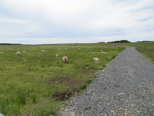
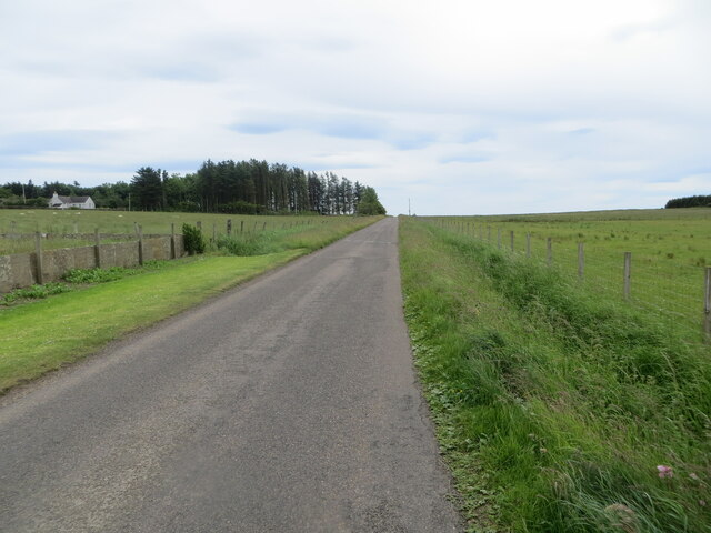
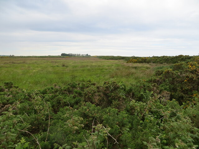
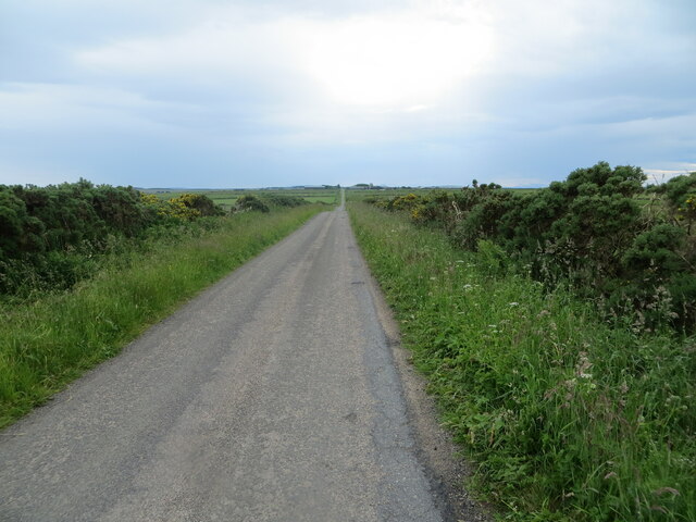
Tain boasts stunning natural scenery, with its coastal location offering panoramic views of the North Sea. The nearby countryside provides opportunities for outdoor activities such as hiking, fishing, and birdwatching. The town is also famous for its golf course, the Royal Dornoch Golf Club, which is ranked among the top courses in the world.

In addition to its historical and natural attractions, Tain offers a range of amenities and services to its residents and visitors. The town center features a variety of shops, cafes, and restaurants, as well as a selection of accommodation options. Tain also hosts regular events and festivals, including the Tain Gala, which showcases local talents and traditions.

Overall, Tain is a charming and picturesque town, combining a rich history, stunning landscapes, and a welcoming community, making it an appealing destination for tourists and residents alike.

If you have any feedback on the listing, please let us know in the comments section below.
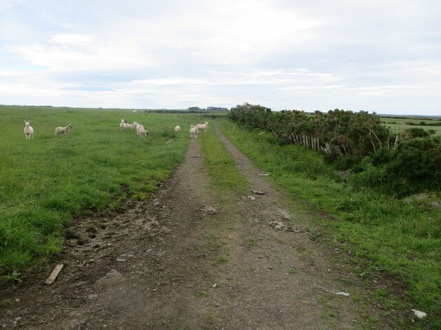
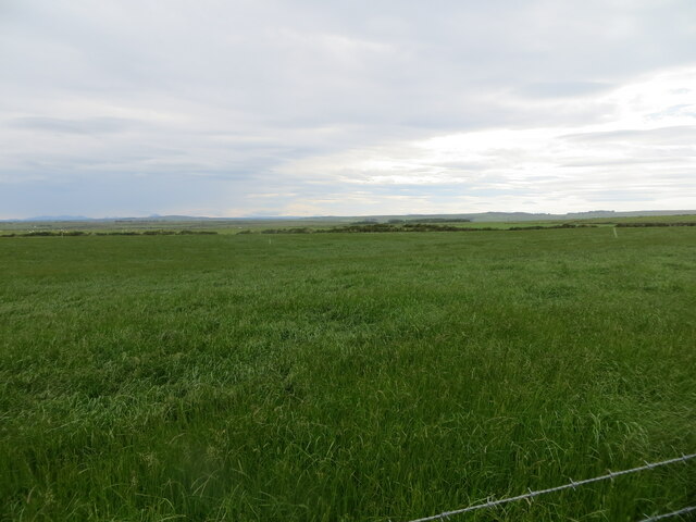
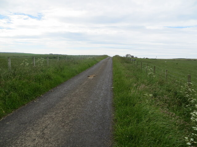
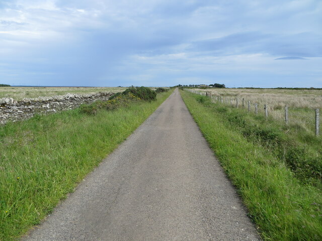
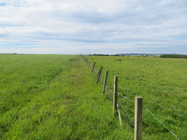
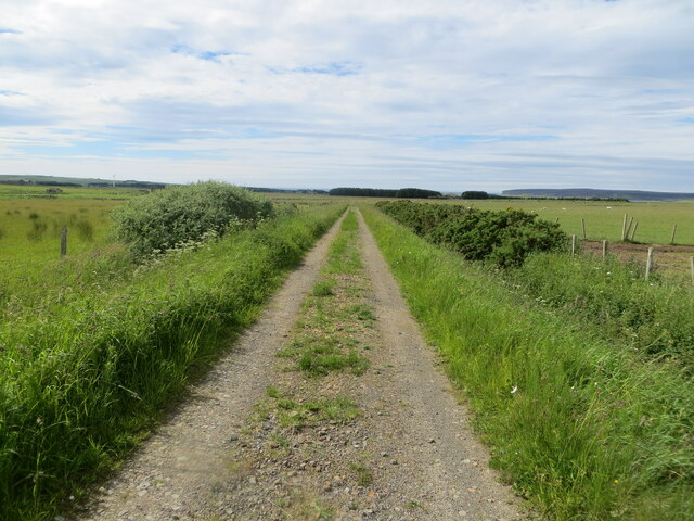
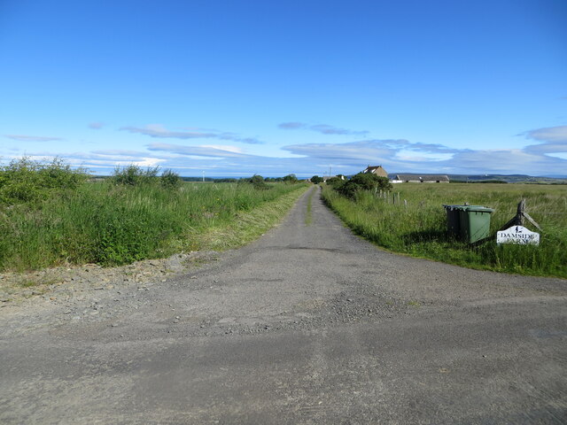
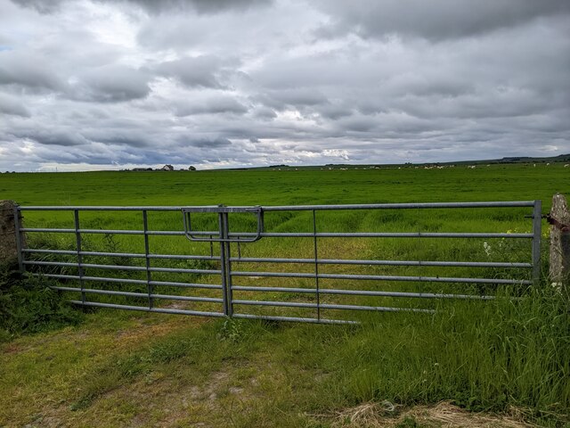
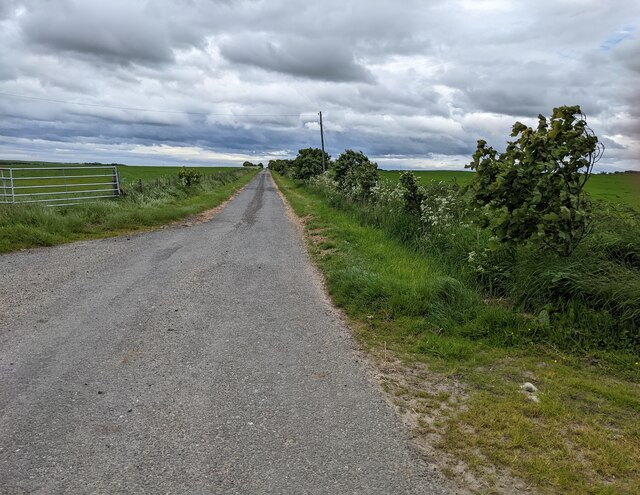
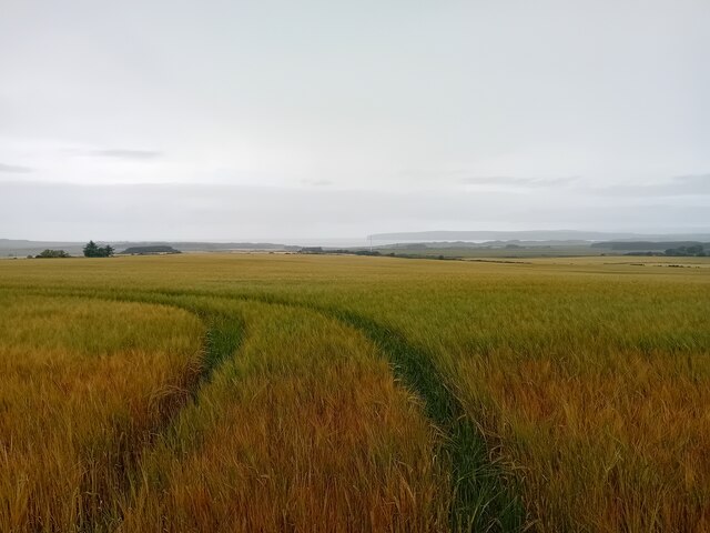
Tain Images

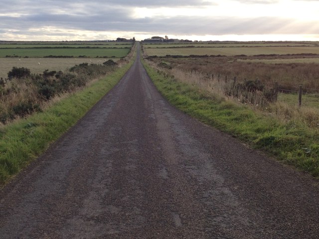
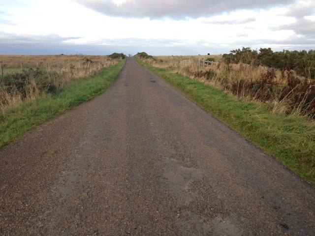
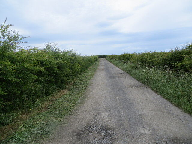
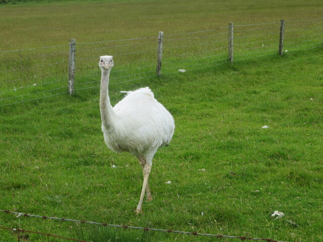
Images are sourced within 2km of 58.572596/-3.3210259 or Grid Reference ND2365. Thanks to Geograph Open Source API. All images are credited.

Minor road near Bowermadden
Hedge-lined track giving access to Greenland Mains Looking north-eastward.
Hedge-lined track giving access to Greenland Mains
Looking north-eastward.
An inquisitive Rhea One of my more unusual sightings whilst travelling through Caithness.
An inquisitive Rhea
One of my more unusual sightings whilst travelling through Caithness.
Pastureland hosting sheep, Greenland Looking north-westward.
Pastureland hosting sheep, Greenland
Looking north-westward.
Fence-lined minor road, Greenland Looking south-eastward.
Fence-lined minor road, Greenland
Looking south-eastward.
Field and hedging on the Moss of Greenland Looking north-westward.
Field and hedging on the Moss of Greenland
Looking north-westward.
A straight stretch of minor road Looking south-westward towards Hunster
A straight stretch of minor road
Looking south-westward towards Hunster
Field edge farm track and grazing sheep near Bowermadden Looking north-eastward.
Field edge farm track and grazing sheep near Bowermadden
Looking north-eastward.
Grazing land near Hill View Looking south-westward.
Grazing land near Hill View
Looking south-westward.
Fence-lined minor road near to Round Hill Looking north-westward.
Fence-lined minor road near to Round Hill
Looking north-westward.
Wall and fence-lined minor road near Berry Hill Looking south-eastward.
Wall and fence-lined minor road near Berry Hill
Looking south-eastward.
Pastureland divided by fencing near Tain Looking north-westward.
Pastureland divided by fencing near Tain
Looking north-westward.
Fence enclosed farm track near to Tain of Olrig Looking north-westward.
Fence enclosed farm track near to Tain of Olrig
Looking north-westward.
Track giving access to Damside Farm Looking north-westward.
Track giving access to Damside Farm
Looking north-westward.
Double gate and grassy field near West Greenland
The lane to West Greenland
Crop Field Near Lochside.
Crop Field
Near Lochside.
Show me another place!

Tain is located at Grid Ref: ND2365 (Lat: 58.572596, Lng: -3.3210259)

Unitary Authority: Highland

Police Authority: Highlands and Islands

What 3 Words

///holidays.estimated.stocked. Near Thurso, Highland

Related Wikis

RAF Castletown

Royal Air Force Castletown or more simply RAF Castletown, is a former Royal Air Force station that operated during the Second World War. Built near to...

Reaster

Reaster is a small village in Bower parish, Caithness Highland, Scotland.

Bower, Highland

Bower (Scottish Gaelic: Bàgair) is a village and civil parish in Highland, Scotland It is 10 miles from Thurso and around 11 miles from Wick. Bower is...

Castletown, Highland

Castletown (Scottish Gaelic: Baile a' Chaisteil) is a village on the north coast of the Highland council area of Scotland, situated near Dunnet Bay. It...

Nearby Amenities

Located within 500m of 58.572596,-3.3210259
Power: pole
Lat/Long: 58.5691963/-3.3160506
Power: pole
Lat/Long: 58.5689189/-3.3173216
Power: pole
Lat/Long: 58.5687071/-3.3182191
Power: pole
Lat/Long: 58.5692471/-3.3193277
Power: pole
Lat/Long: 58.5699036/-3.3207043
Power: pole
Lat/Long: 58.5705515/-3.3221093
Power: pole
Lat/Long: 58.5711656/-3.3234169
Power: pole
Lat/Long: 58.5717966/-3.3247813
Power: pole
Lat/Long: 58.5724255/-3.3261173
Power: pole
Lat/Long: 58.5730247/-3.3274127
Power: pole
Lat/Long: 58.5736302/-3.3287324
Power: pole
Lat/Long: 58.5716611/-3.3228484
Power: pole
Lat/Long: 58.5720909/-3.3221093
Power: pole
Lat/Long: 58.5724869/-3.3214149
Power: pole
Lat/Long: 58.5729294/-3.3206312
Power: pole
Lat/Long: 58.5733126/-3.3200099
Power: pole
Lat/Long: 58.573645/-3.3194211
The data included in this document is from www.openstreetmap.org. The data is made available under ODbL.

Have you been to Tain?

Leave your review of Tain below (or comments, questions and feedback).