Moss of Tain
Downs, Moorland in Caithness
Scotland
Moss of Tain
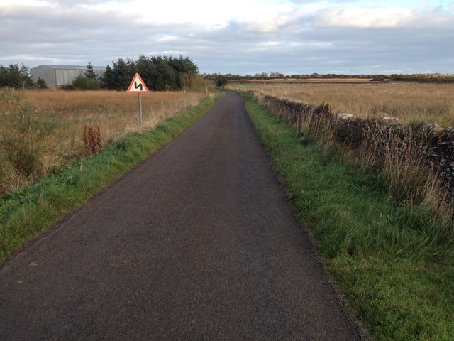
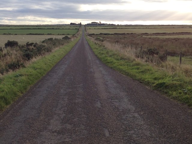
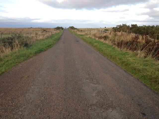
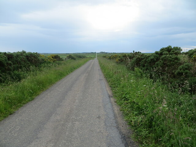
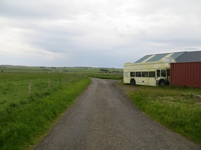
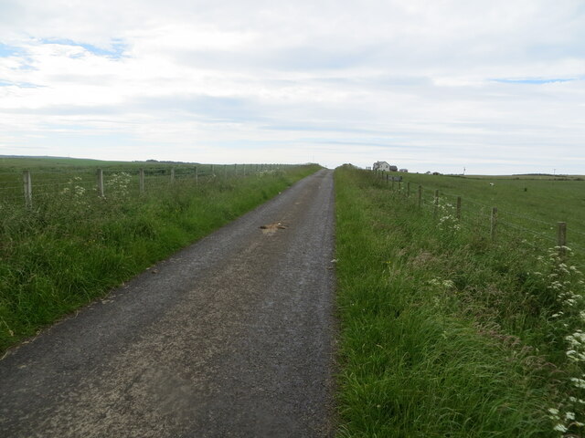
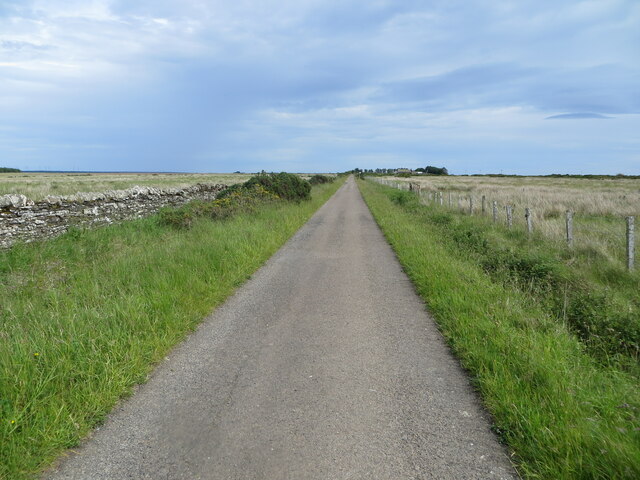
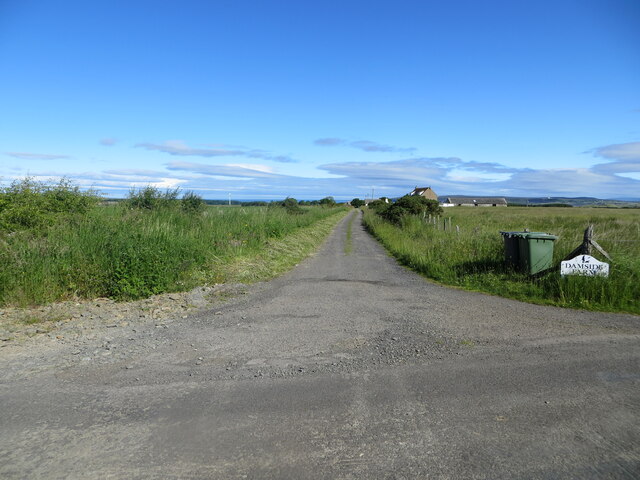
Moss of Tain is a picturesque area located in the county of Caithness, in the northernmost part of Scotland. Known for its stunning natural beauty, Moss of Tain is characterized by its expansive downs and moorland landscapes.
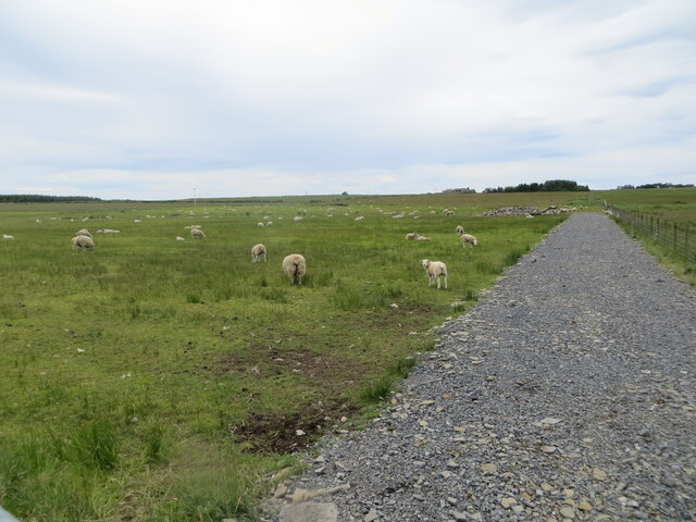
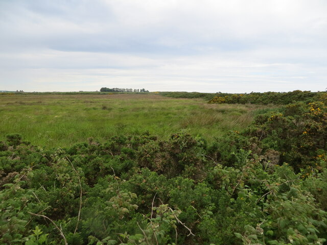
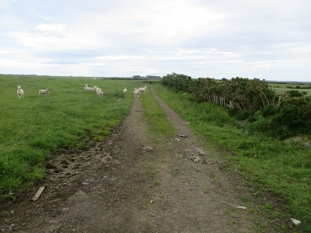
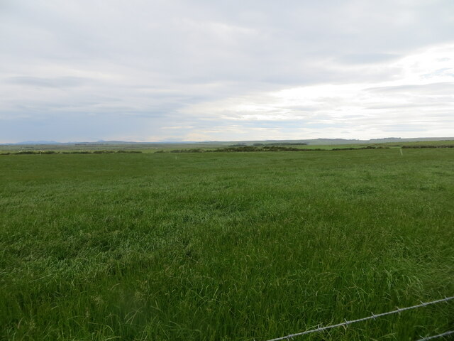
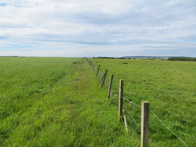
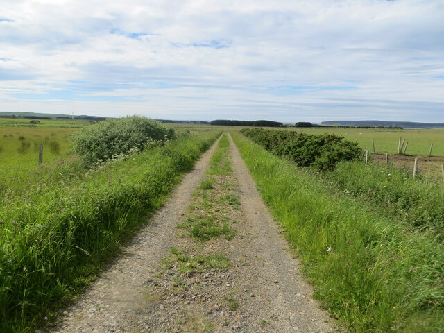
The downs of Moss of Tain are vast open grasslands, stretching as far as the eye can see. The rolling hills and gentle slopes provide a serene and tranquil atmosphere, making it a popular spot for nature lovers and outdoor enthusiasts. The downs are covered with a variety of grasses and wildflowers, creating a vibrant and colorful tapestry during the warmer months.
Adjacent to the downs, the moorland of Moss of Tain offers a different kind of beauty. The moors are characterized by their vast expanses of heather, which turn into a sea of purple during the late summer months. The rugged terrain provides a unique habitat for a range of plant and animal species, including birds, reptiles, and small mammals.
Moss of Tain is also known for its rich history and archaeological significance. The area is dotted with ancient cairns, burial mounds, and stone circles, indicating human occupation dating back thousands of years. These historical sites offer a glimpse into the lives and traditions of the people who once lived in this remote and captivating part of Scotland.
Overall, Moss of Tain is a place of natural beauty, cultural heritage, and tranquility. Whether one is exploring the downs, wandering through the moorland, or delving into the area's rich history, Moss of Tain offers a truly captivating experience.
If you have any feedback on the listing, please let us know in the comments section below.
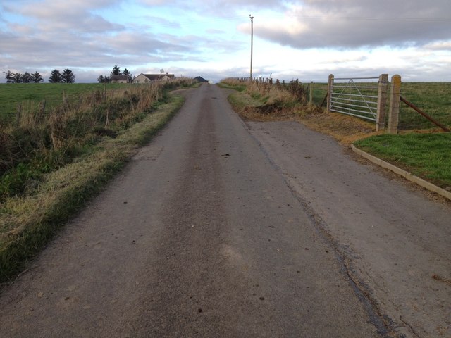
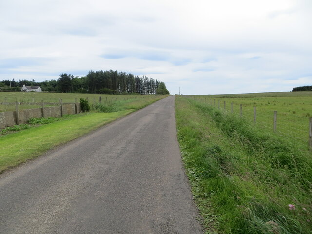
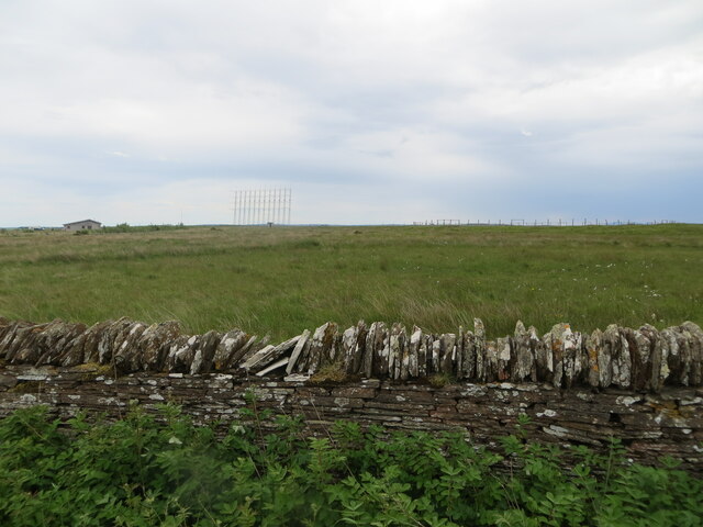
Moss of Tain Images
Images are sourced within 2km of 58.570254/-3.3155217 or Grid Reference ND2365. Thanks to Geograph Open Source API. All images are credited.
Moss of Tain is located at Grid Ref: ND2365 (Lat: 58.570254, Lng: -3.3155217)
Unitary Authority: Highland
Police Authority: Highlands and Islands
What 3 Words
///asked.meanwhile.asks. Near Halkirk, Highland
Nearby Locations
Related Wikis

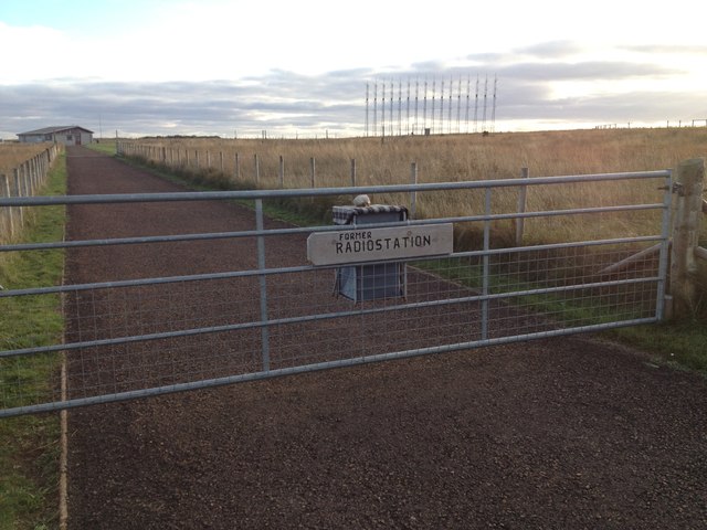
RAF Castletown
Royal Air Force Castletown or more simply RAF Castletown, is a former Royal Air Force station that operated during the Second World War. Built near to...
Reaster
Reaster is a small village in Bower parish, Caithness Highland, Scotland.

Bower, Highland
Bower (Scottish Gaelic: Bàgair) is a village and civil parish in Highland, Scotland It is 10 miles from Thurso and around 11 miles from Wick. Bower is...
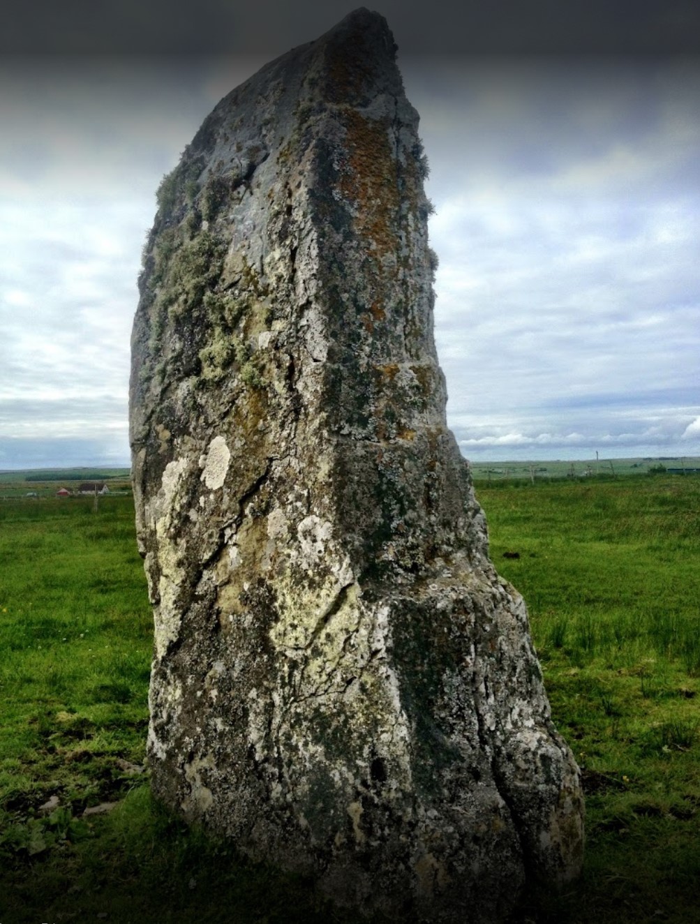
Stone Lud
The Stone Lud is a standing stone in the parish of Bower in Caithness, in the Highland area of Scotland. It is located and about 7 kilometres (4.3 mi)...
Nearby Amenities
Located within 500m of 58.570254,-3.3155217Have you been to Moss of Tain?
Leave your review of Moss of Tain below (or comments, questions and feedback).