Berry Hill
Hill, Mountain in Caithness
Scotland
Berry Hill
Berry Hill is a prominent hill located in the county of Caithness, in the Highland region of Scotland. Situated near the village of Watten, this hill stands at an elevation of approximately 201 meters (660 feet) above sea level.
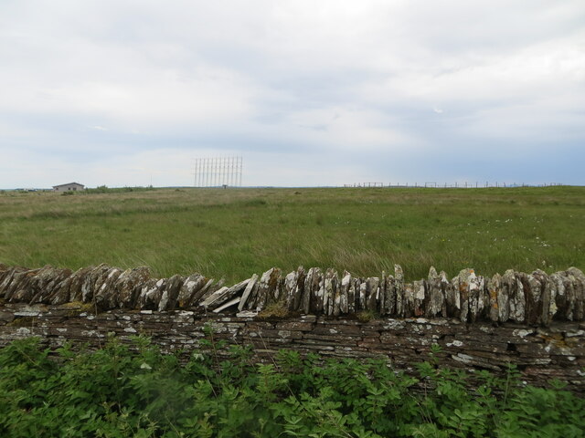
Known for its distinctive shape and commanding presence, Berry Hill is classified as a hill rather than a mountain due to its relatively modest height. It is characterized by its gently rounded summit, which offers panoramic views of the surrounding countryside, including the farmlands and rolling hills of Caithness.
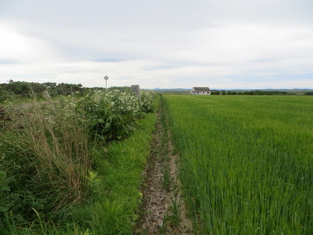
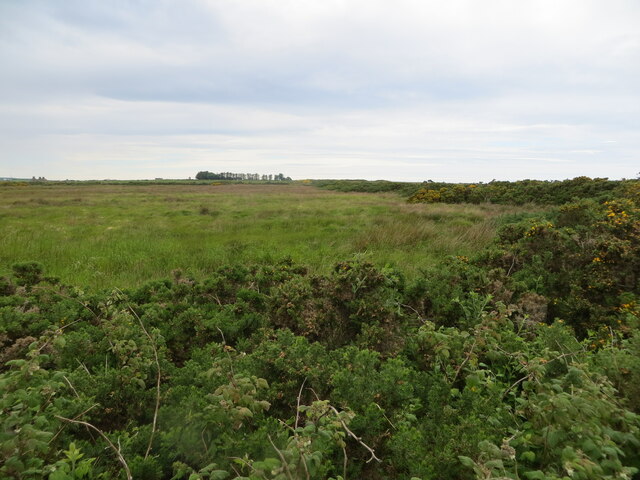
The hill is covered in a mix of heather and grasses, with scattered patches of shrubs and trees. It is a popular spot for outdoor enthusiasts, with several walking trails and footpaths that lead to the summit. These trails provide an opportunity for visitors to immerse themselves in the natural beauty of the area while enjoying a leisurely hike.
Berry Hill is also home to a variety of wildlife, including birds such as grouse and skylarks, as well as small mammals like rabbits and voles. The hill offers a peaceful and tranquil environment, ideal for nature lovers and birdwatchers.
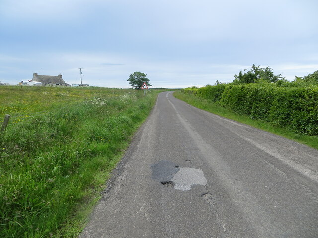
Due to its location, Berry Hill is easily accessible by road, with parking available at the base of the hill. Its close proximity to Watten village makes it a convenient destination for both locals and tourists alike, providing a charming and scenic escape from the hustle and bustle of everyday life.
If you have any feedback on the listing, please let us know in the comments section below.
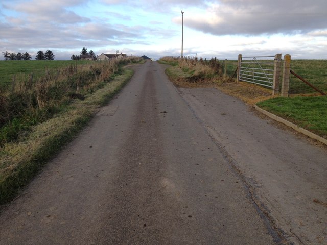
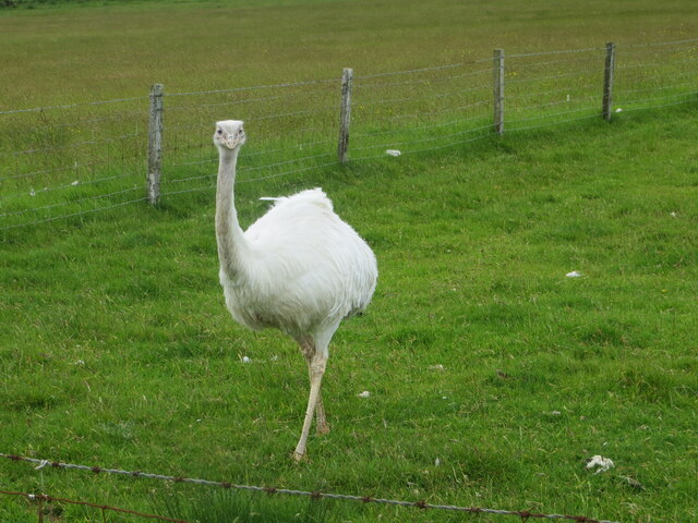
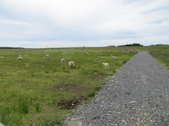
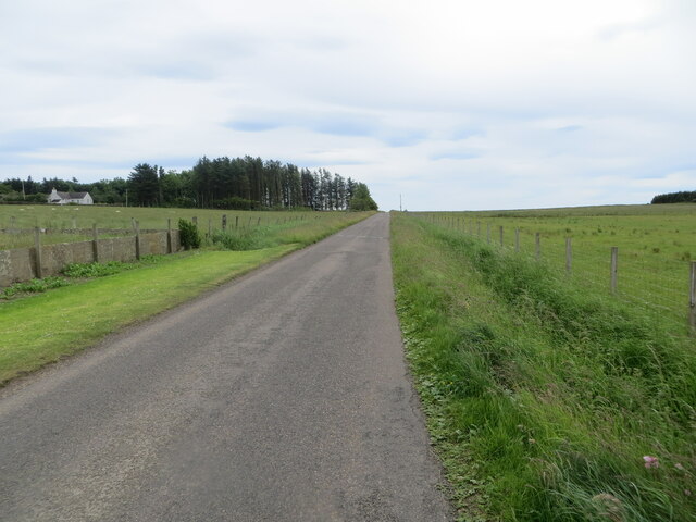
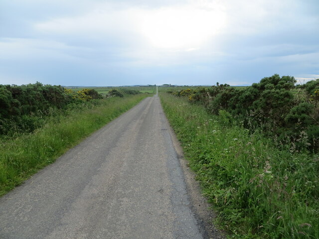
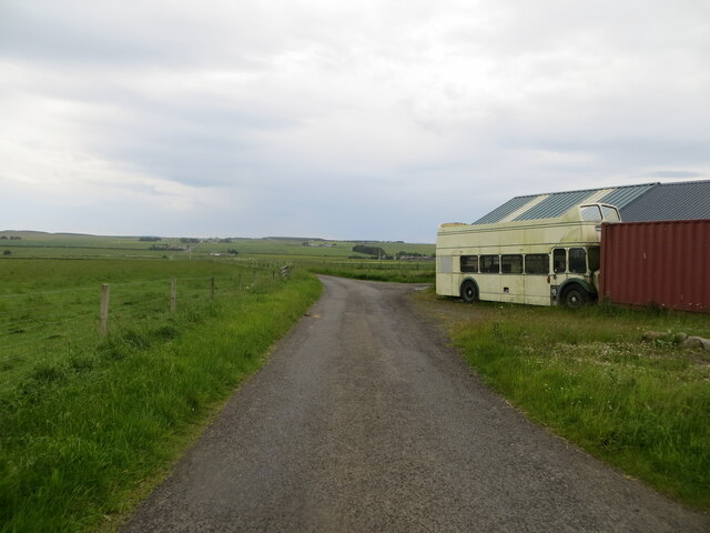
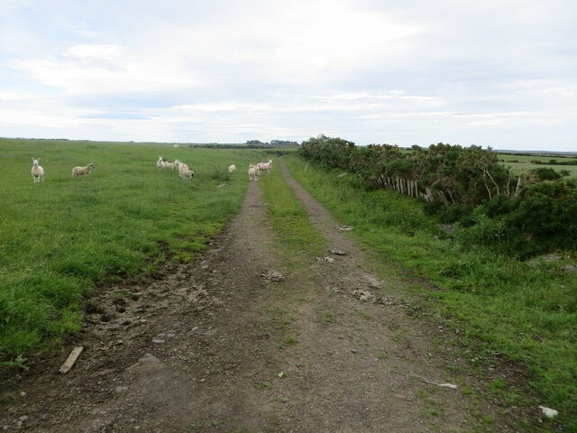
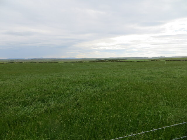
Berry Hill Images
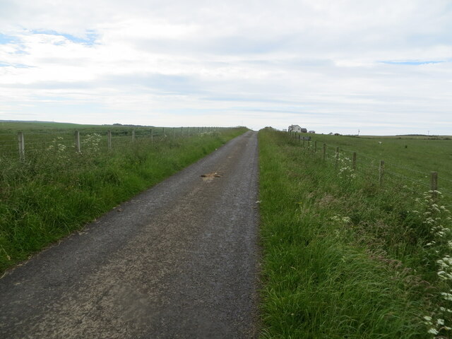
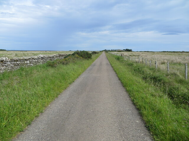
Images are sourced within 2km of 58.571279/-3.3110209 or Grid Reference ND2365. Thanks to Geograph Open Source API. All images are credited.
Berry Hill is located at Grid Ref: ND2365 (Lat: 58.571279, Lng: -3.3110209)
Unitary Authority: Highland
Police Authority: Highlands and Islands
What 3 Words
///crumbles.fresh.spelled. Near Halkirk, Highland
Nearby Locations
Related Wikis

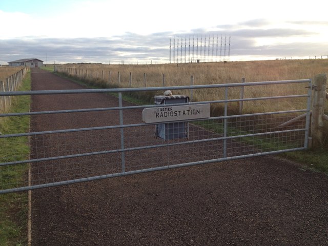
RAF Castletown
Royal Air Force Castletown or more simply RAF Castletown, is a former Royal Air Force station that operated during the Second World War. Built near to...
Reaster
Reaster is a small village in Bower parish, Caithness Highland, Scotland.

Bower, Highland
Bower (Scottish Gaelic: Bàgair) is a village and civil parish in Highland, Scotland It is 10 miles from Thurso and around 11 miles from Wick. Bower is...
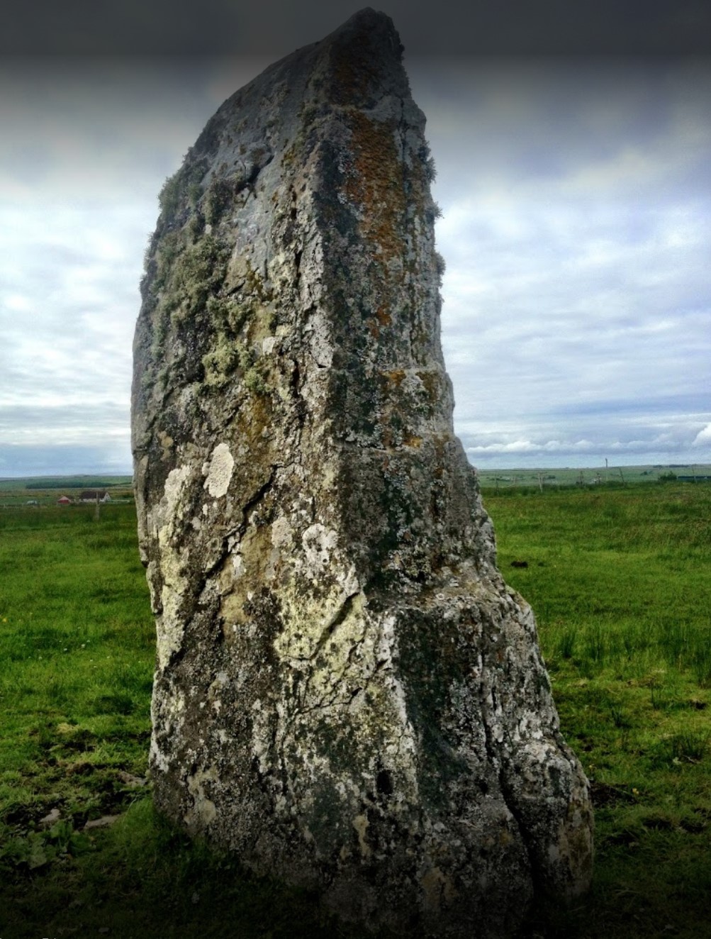
Stone Lud
The Stone Lud is a standing stone in the parish of Bower in Caithness, in the Highland area of Scotland. It is located and about 7 kilometres (4.3 mi)...
Nearby Amenities
Located within 500m of 58.571279,-3.3110209Have you been to Berry Hill?
Leave your review of Berry Hill below (or comments, questions and feedback).