Tai'n-Iôn

Settlement in Caernarfonshire

Wales

Tai'n-Iôn

The road to Llwyngwnadl Looking westwards, near Graianog.
The road to Llwyngwnadl Credit: Christine Johnstone

The requested URL returned error: 429 Too Many Requests

If you have any feedback on the listing, please let us know in the comments section below.

Tai'n-Iôn Images

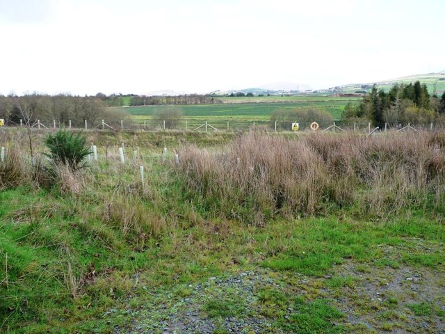
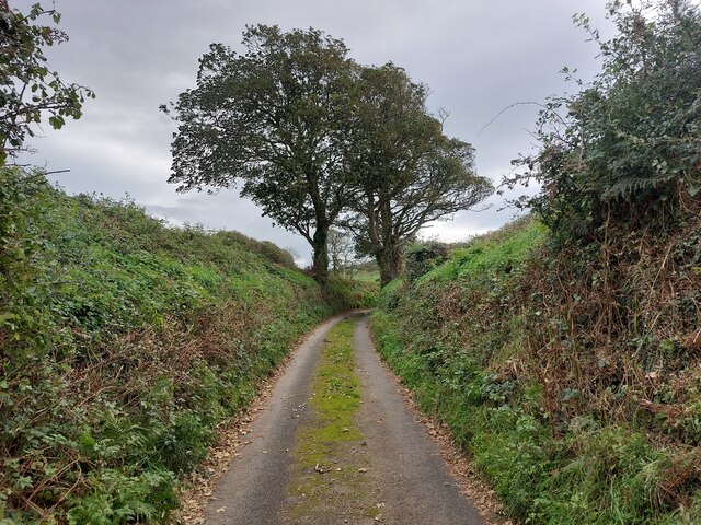
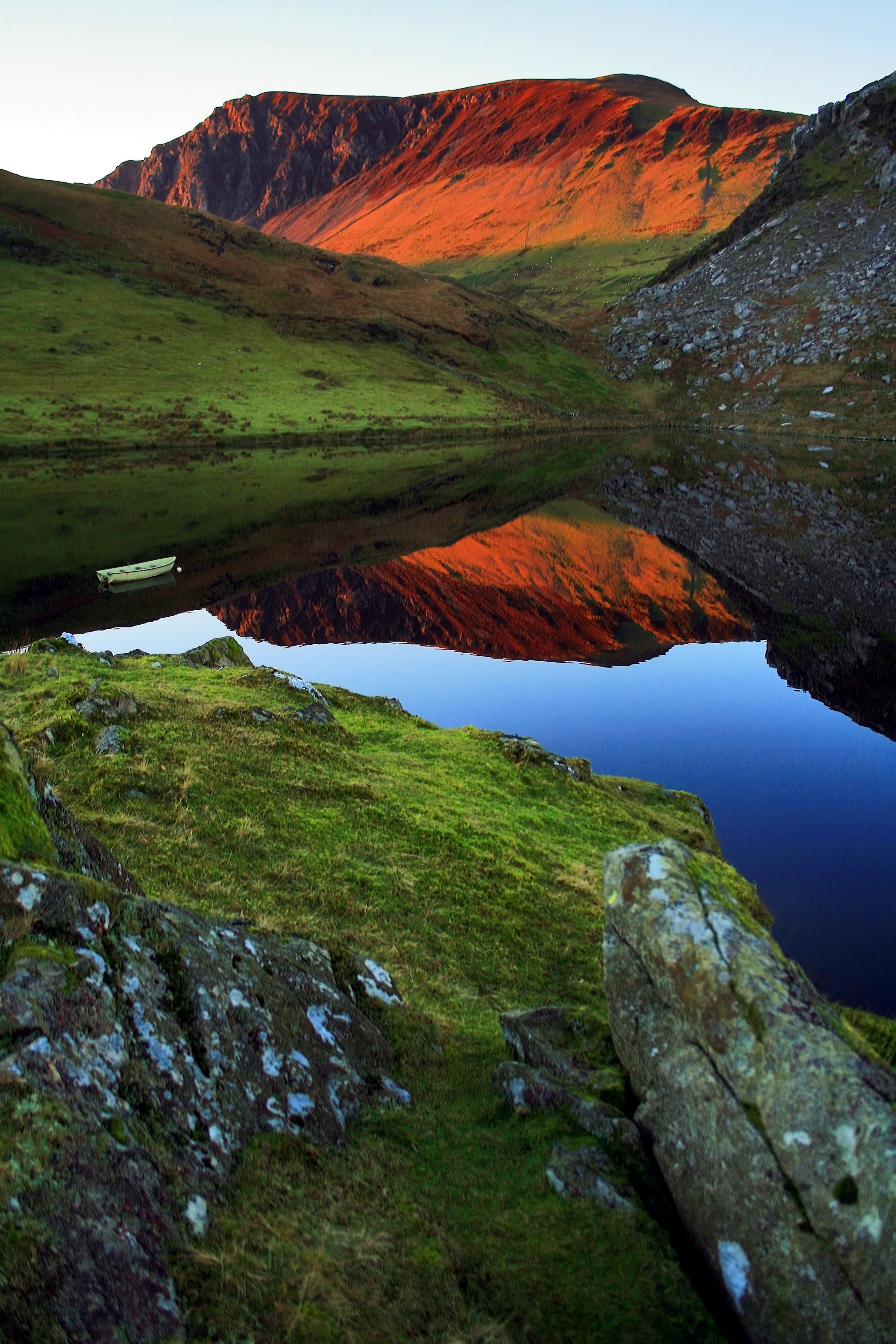
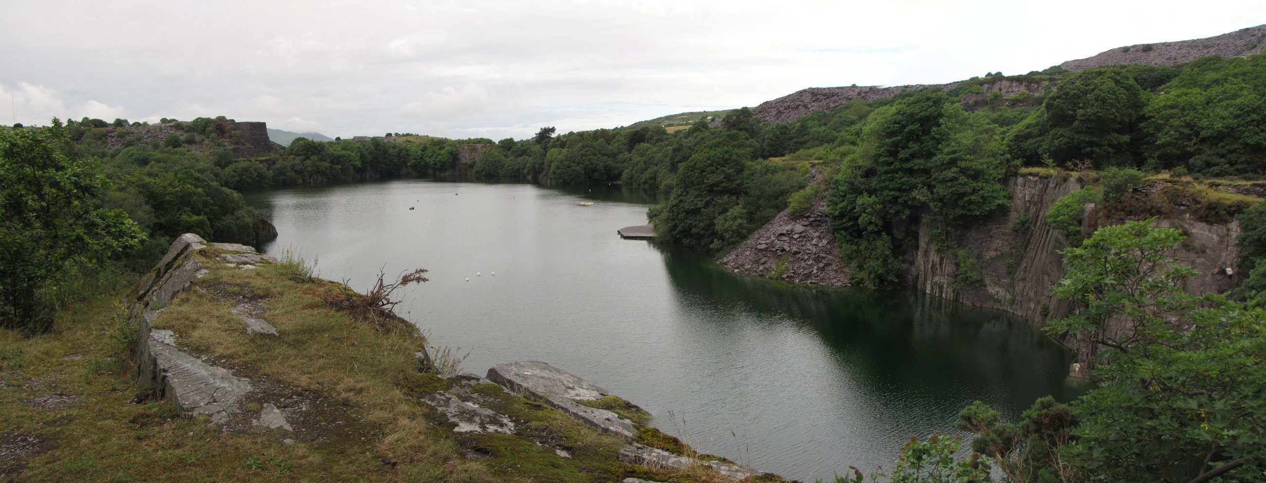
Images are sourced within 2km of 53.026066/-4.3234166 or Grid Reference SH4450. Thanks to Geograph Open Source API. All images are credited.

The road to Llwyngwnadl Looking westwards, near Graianog.
The road to Llwyngwnadl
Looking westwards, near Graianog.
Entrance to fenced premises near Graianog Looking eastwards.
Entrance to fenced premises near Graianog
Looking eastwards.
Rough grassland near Graianog Inside the bend of the minor road.
Rough grassland near Graianog
Inside the bend of the minor road.
Brick shaft in rough grassland near Graianog Purpose unknown, but it is alongside a stream.
Brick shaft in rough grassland near Graianog
Purpose unknown, but it is alongside a stream.
Minor road at Llwyngwnadl Looking southwards at the 134 metres spot height.
Minor road at Llwyngwnadl
Looking southwards at the 134 metres spot height.
Conifers along Afon Desach A reclaimed landscape east of the Llwyngwnadl landfill site.
Conifers along Afon Desach
A reclaimed landscape east of the Llwyngwnadl landfill site.
Warning of deep water by Afon Desach East of the minor road alongside the Llwyngwnadl landfill site.
Warning of deep water by Afon Desach
East of the minor road alongside the Llwyngwnadl landfill site.
Reclaimed land with saplings and rough grass East of the minor road alongside the Llwyngwnadl landfill site.
Reclaimed land with saplings and rough grass
East of the minor road alongside the Llwyngwnadl landfill site.
Road alongside a landfill site, Llwyngwnadl The landfill site is behind the trees on the left [west].
Road alongside a landfill site, Llwyngwnadl
The landfill site is behind the trees on the left [west].
Drained land, east of Afon Desach Looking eastwards from the Llwyngwnadl landfill site.
Drained land, east of Afon Desach
Looking eastwards from the Llwyngwnadl landfill site.
Caeau Tan Y Bwlch Traditional meadows, managed by the North Wales Wildlife Trust.
Caeau Tan Y Bwlch
Traditional meadows, managed by the North Wales Wildlife Trust.
Brysgyni-uchaf Farm Bwlch Mawr beyond.
Brysgyni-uchaf Farm
Bwlch Mawr beyond.
Incised Cross, Capel Uchaf
Disused Cottage, Capel Uchaf
Fields beside the cycle path to Caernarfon Part of the former Carnarvonshire Railway trackbed has been converted to a shared use path which forms part of National Cycle Network route 8 between Bryncir and Caernarfon.
Fields beside the cycle path to Caernarfon
Part of the former Carnarvonshire Railway trackbed has been converted to a shared use path which forms part of National Cycle Network route 8 between Bryncir and Caernarfon.
Sheep at the Penarth Burial Chamber As it was a bit windy, the sheep used the burial chamber as shelter.
Sheep at the Penarth Burial Chamber
As it was a bit windy, the sheep used the burial chamber as shelter.
Lane to the Penarth Burial Chamber
Tree at the footpath to Aberdesach
Show me another place!

Tai'n-Iôn is located at Grid Ref: SH4450 (Lat: 53.026066, Lng: -4.3234166)

Unitary Authority: Gwynedd

Police Authority: North Wales

What 3 Words

///lecturing.jeeps.spout. Near Penygroes, Gwynedd

Nearby Locations

Tai'n-Iôn

Related Wikis

Aberdesach

Aberdesach is a small village in a primarily Welsh speaking area of Gwynedd. It is in the historic county of Caernarfonshire. The village is situated approximately...

Nantlle Valley

The Nantlle Valley (Welsh: Dyffryn Nantlle, IPA: [ˈdəfrɨn ˈnantɬɛ]) is an area in Gwynedd, North Wales, characterised by its numerous small settlements...

Dorothea quarry

Dorothea quarry is a disused slate quarry in the Nantlle Valley area in North Wales. It covers a large area near the village of Talysarn and contains three...

Clynnog Fawr

Clynnog Fawr, often simply called "Clynnog", is a village and community on the north coast of Llŷn Peninsula in Gwynedd, north-west Wales. It is in the...

Nearby Amenities

Located within 500m of 53.026066,-4.3234166
Tai'n-lon
Place: locality
Source: OS OpenData StreetView
Lat/Long: 53.0258514/-4.3228525
Post Box
Collection Times: Mo-Fr 11:00; Sa 09:45
Post Box Design: hovis
Post Box Mounting: wooden_post
Post Box Type: lamp
Ref: LL54 14
Royal Cypher: EVIIR
Royal Cypher Wikidata: Q33102324
Lat/Long: 53.0248223/-4.3216156
The data included in this document is from www.openstreetmap.org. The data is made available under ODbL.

Have you been to Tai'n-Iôn?

Leave your review of Tai'n-Iôn below (or comments, questions and feedback).