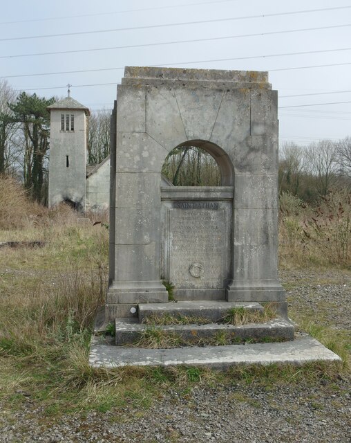
St Athan Boys Village
Settlement in Glamorgan
Wales
St Athan Boys Village
The requested URL returned error: 429 Too Many Requests
If you have any feedback on the listing, please let us know in the comments section below.
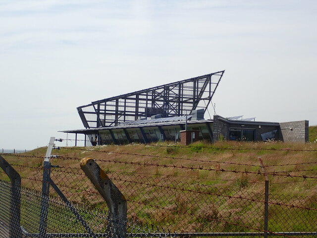
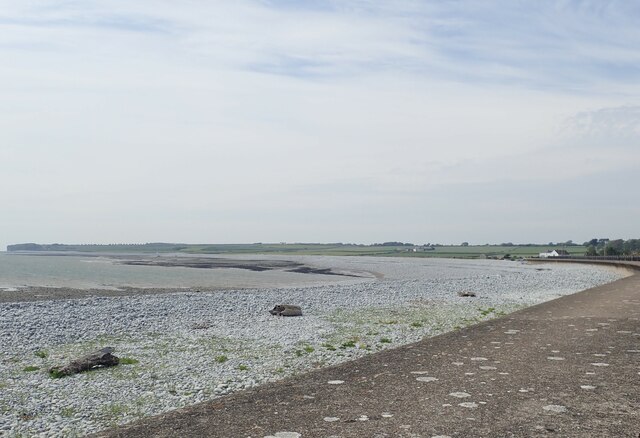
St Athan Boys Village Images
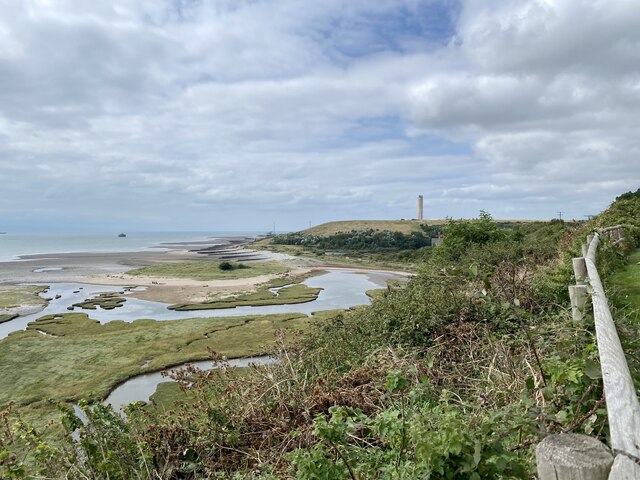
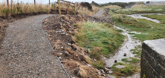
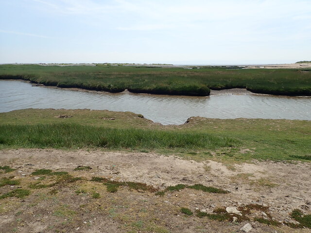
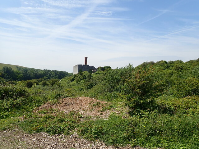
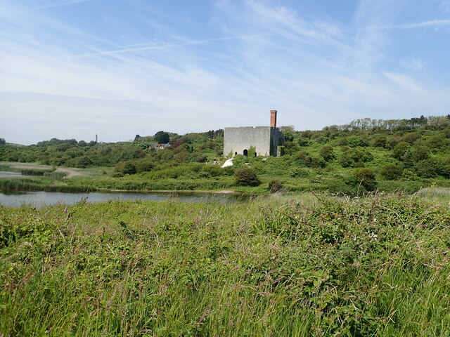
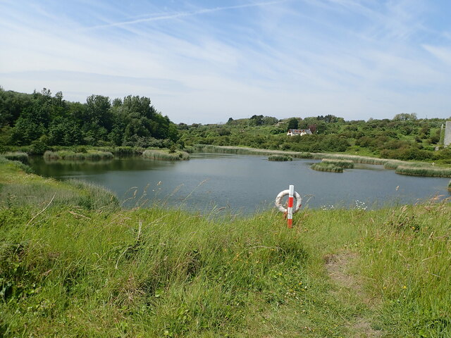
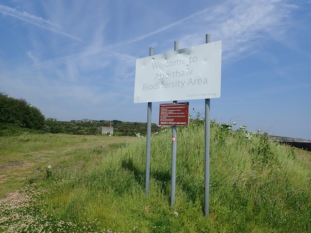
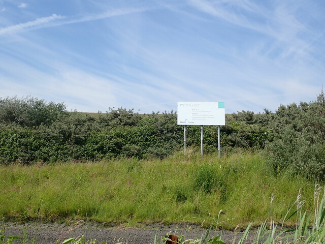
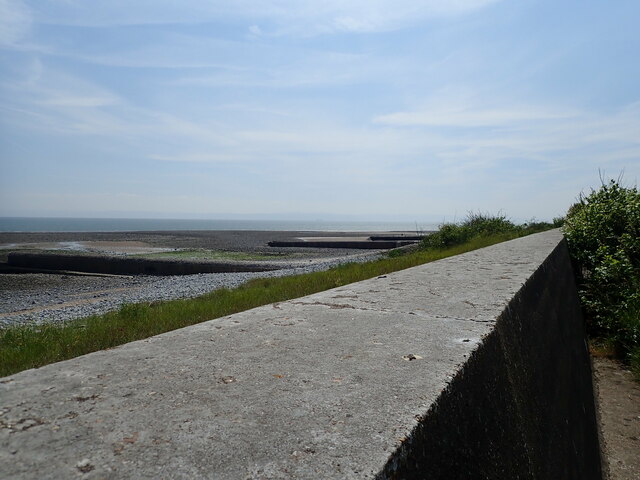
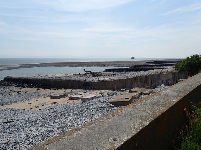
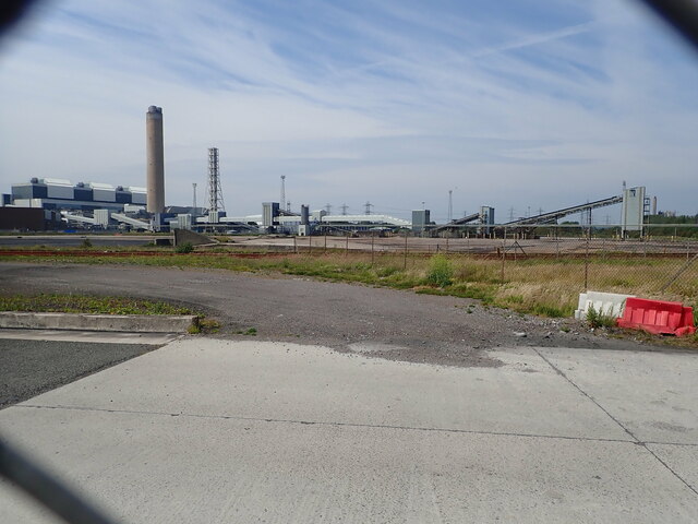
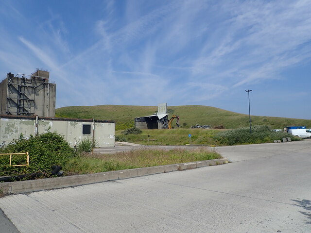
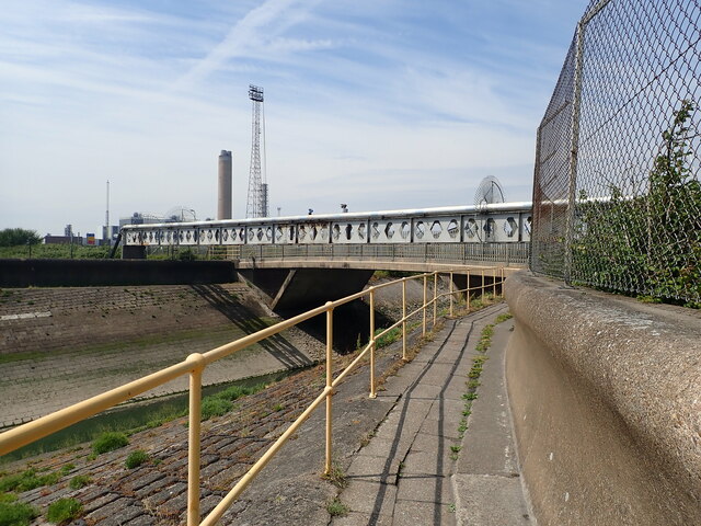
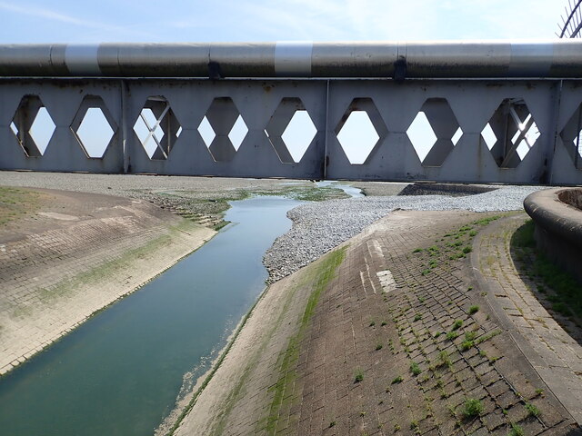
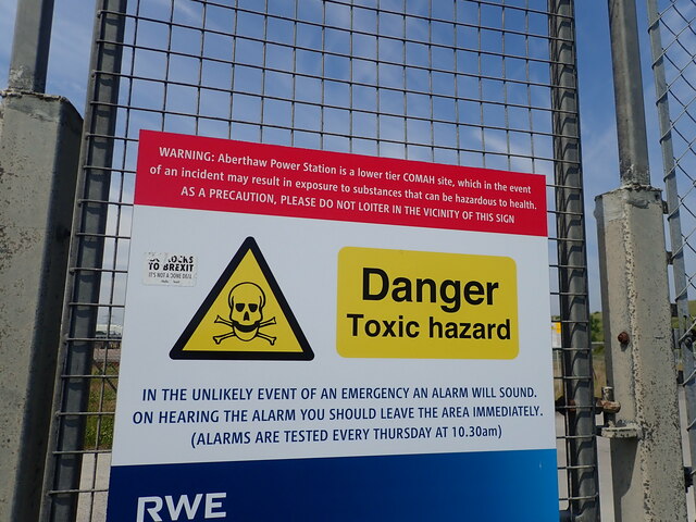
Images are sourced within 2km of 51.394961/-3.4006154 or Grid Reference ST0267. Thanks to Geograph Open Source API. All images are credited.
St Athan Boys Village is located at Grid Ref: ST0267 (Lat: 51.394961, Lng: -3.4006154)
Unitary Authority: The Vale of Glamorgan
Police Authority: South Wales
What 3 Words
///crouching.grand.smokers. Near Rhoose, Vale of Glamorgan
Nearby Locations
Related Wikis

Boys Village
St Athan Boys' Village was a village-style holiday camp located in West Aberthaw, Vale of Glamorgan, Wales. == Development and operations == Philanthropist...

Aberthaw Cement Works
Aberthaw Cement Works are cement works in the Vale of Glamorgan near the village of East Aberthaw in Wales. == History == The Blue Lias limestone of Aberthaw...

Gileston
Gileston (Welsh: Silstwn) is a small Welsh village near West Aberthaw in the Vale of Glamorgan on the coast of South Wales. == Location == It is located...

St Athan Road railway station
St Athan Road railway station served the village of St Athan in the Vale of Glamorgan in South Wales. == History == The station was built by the Cowbridge...
Nearby Amenities
Located within 500m of 51.394961,-3.4006154Have you been to St Athan Boys Village?
Leave your review of St Athan Boys Village below (or comments, questions and feedback).