Boys Village

Settlement in Glamorgan

Wales

Boys Village

WW1 Memorial at former St Athan Boys' Village The Boys' Village opened in 1925 as a holiday home for up to 180 boys from families of the working class in South Wales. 
The Boys' Club movement (now Clubs for Young People Wales) had been started in the early 1920s by Captain J Glynn-Jones and David Davies of Llandinam. Davies was the chair of the Ocean Coal Company and Glynn-Jones was its Welfare Officer.
The memorial was erected as part of the construction of the camp to commemorate the youth of all nations who died in the First World War. It was located at the focal point of the village within a formal landscaped garden with the village buildings surrounding. It was later amended with the dates of World War II.
The Club closed in 1990 and is badly vandalised. The memorial is a grade II listed building.
WW1 Memorial at former St Athan Boys' Village Credit: Colin Cheesman

Boys Village, located in Glamorgan, is a historically significant site that served as a residential facility for boys during the mid-20th century. Situated on the Welsh coast, the village was established in the 1930s as part of a philanthropic effort to provide support and opportunities for underprivileged young boys.

The main purpose of Boys Village was to provide a safe and nurturing environment for boys who had experienced challenging circumstances such as poverty, neglect, or the loss of their parents. The village aimed to provide them with a stable home, education, and vocational training to help them build a better future.

The village was comprised of several purpose-built cottages, each housing a small group of boys under the care of a house parent. The boys had access to various facilities, including a school, recreational areas, and vocational workshops. The educational curriculum focused on both academic subjects and practical skills, aiming to equip the boys with a well-rounded education.

Boys Village played a significant role in the lives of many young boys, providing them with opportunities they may not have otherwise had. The village fostered a sense of community and belonging, offering support and guidance to boys who often lacked stable family environments.

Over time, societal changes and advancements in child welfare led to the closure of Boys Village in the late 20th century. However, the village remains an important part of Glamorgan's history, serving as a reminder of the efforts made to improve the lives of disadvantaged children and the positive impact it had on many individuals.

If you have any feedback on the listing, please let us know in the comments section below.
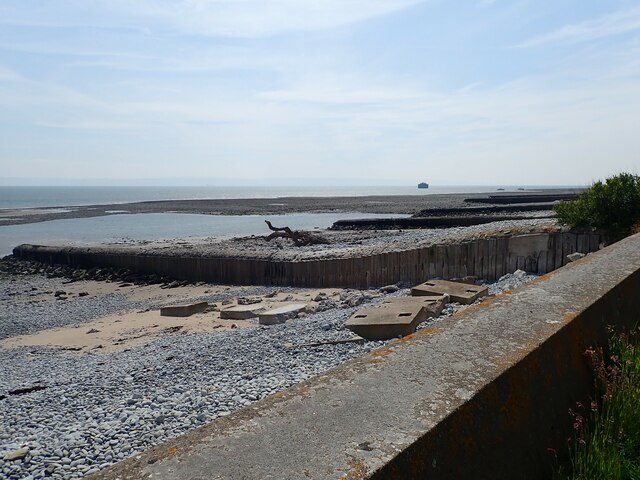
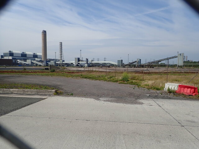
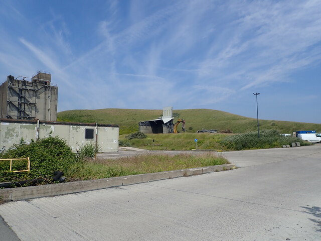
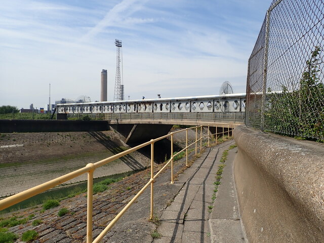
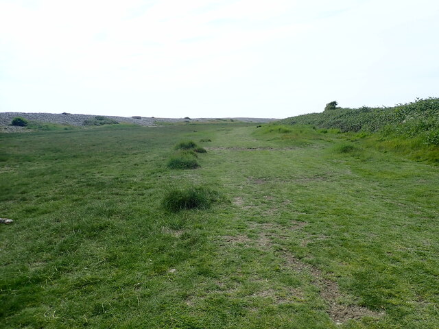
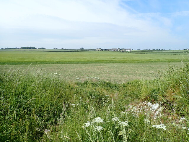
Boys Village Images

Images are sourced within 2km of 51.393545/-3.4099437 or Grid Reference ST0267. Thanks to Geograph Open Source API. All images are credited.

WW1 Memorial at former St Athan Boys' Village The Boys' Village opened in 1925 as a holiday home for up to 180 boys from families of the working class in South Wales. 
The Boys' Club movement (now Clubs for Young People Wales) had been started in the early 1920s by Captain J Glynn-Jones and David Davies of Llandinam. Davies was the chair of the Ocean Coal Company and Glynn-Jones was its Welfare Officer.
The memorial was erected as part of the construction of the camp to commemorate the youth of all nations who died in the First World War. It was located at the focal point of the village within a formal landscaped garden with the village buildings surrounding. It was later amended with the dates of World War II.
The Club closed in 1990 and is badly vandalised. The memorial is a grade II listed building.
WW1 Memorial at former St Athan Boys' Village
The Boys' Village opened in 1925 as a holiday home for up to 180 boys from families of the working class in South Wales. The Boys' Club movement (now Clubs for Young People Wales) had been started in the early 1920s by Captain J Glynn-Jones and David Davies of Llandinam. Davies was the chair of the Ocean Coal Company and Glynn-Jones was its Welfare Officer. The memorial was erected as part of the construction of the camp to commemorate the youth of all nations who died in the First World War. It was located at the focal point of the village within a formal landscaped garden with the village buildings surrounding. It was later amended with the dates of World War II. The Club closed in 1990 and is badly vandalised. The memorial is a grade II listed building.
Wales Coastal Path The upgraded footpath is on the left. The original, very wet path is on the right and it can be several feet under water during Spring high tides.
Wales Coastal Path
The upgraded footpath is on the left. The original, very wet path is on the right and it can be several feet under water during Spring high tides.
Sign - Aberthaw Biodiversity Area The derelict lime works in the distance
Sign - Aberthaw Biodiversity Area
The derelict lime works in the distance
Warning sign near the Wales Coast Path Over the other side of the hedge is a grass-seeded ash hill, from the nearby power station.
Warning sign near the Wales Coast Path
Over the other side of the hedge is a grass-seeded ash hill, from the nearby power station.
Concrete groynes at Leys Beach Reinforced with wood
Concrete groynes at Leys Beach
Reinforced with wood
View through a chain-link fence Aberthaw Power Station was a coal-fired power plant, it generated enough power to meet the needs of 1.5 million households. It closed in March 2020 and is now being decommissoned
View through a chain-link fence
Aberthaw Power Station was a coal-fired power plant, it generated enough power to meet the needs of 1.5 million households. It closed in March 2020 and is now being decommissoned
Decommissioning at the Aberthaw Power Station
Wales Coast Path about to cross the River Thaw A footpath runs alongside the pipe bridge over the river. This is the longest river in Glamorgan and supports a healthy population of brown trout.
Wales Coast Path about to cross the River Thaw
A footpath runs alongside the pipe bridge over the river. This is the longest river in Glamorgan and supports a healthy population of brown trout.
Estuary of the River Thaw From the footbridge and pipe bridge, at Breaksea Pint
Estuary of the River Thaw
From the footbridge and pipe bridge, at Breaksea Pint
Move along! Notice of toxic hazard at Aberthaw Power Plant, "please do not loiter in the vicinity of this sign"
Move along!
Notice of toxic hazard at Aberthaw Power Plant, "please do not loiter in the vicinity of this sign"
Centre for Energy and Environment at Aberthaw The Aberthaw Centre for Energy and Environment (ACE2) provides a facility for schools, colleges and community groups throughout South Wales to deliver interactive educational programmes.
Centre for Energy and Environment at Aberthaw
The Aberthaw Centre for Energy and Environment (ACE2) provides a facility for schools, colleges and community groups throughout South Wales to deliver interactive educational programmes.
Aberthaw Power Station Caisson Located about 400m off Breaksea Point, the caisson provided part of the cooling water process for Aberthaw Power Station. It was constructed onshore in 1958 before being floated and towed into position. Closed to shore are two domes, described as "outfall" on the OS map
Aberthaw Power Station Caisson
Located about 400m off Breaksea Point, the caisson provided part of the cooling water process for Aberthaw Power Station. It was constructed onshore in 1958 before being floated and towed into position. Closed to shore are two domes, described as "outfall" on the OS map
Limpert Bay To the west of Aberthaw Power Station. The wide bay has a shingle and rock beach and at low tide an expanse of wet sand and mud is exposed.
Limpert Bay
To the west of Aberthaw Power Station. The wide bay has a shingle and rock beach and at low tide an expanse of wet sand and mud is exposed.
Aberthaw Power Station Aberthaw Power Station was a coal-fired power plant, it generated enough power to meet the needs of 1.5 million households. It closed in March 2020 and is now being decommissoned. This view shows the large chimney, 153m high, which was built in 1964. It contained three sectional ceramic brick flues, each with an internal diameter of about 6.9 metres.
Aberthaw Power Station
Aberthaw Power Station was a coal-fired power plant, it generated enough power to meet the needs of 1.5 million households. It closed in March 2020 and is now being decommissoned. This view shows the large chimney, 153m high, which was built in 1964. It contained three sectional ceramic brick flues, each with an internal diameter of about 6.9 metres.
Limpert Farmhouse Now a ruin, Limpert Farmhouse was a two-storey house of two main builds, the eastern section was constructed in the seventeenth-century and the western part in the eighteenth. Behind the farmhouses are The Walls, anti-invasion defences, dating to the early period of World War II, that formed part of Western Command's coastal crust defences
Limpert Farmhouse
Now a ruin, Limpert Farmhouse was a two-storey house of two main builds, the eastern section was constructed in the seventeenth-century and the western part in the eighteenth. Behind the farmhouses are The Walls, anti-invasion defences, dating to the early period of World War II, that formed part of Western Command's coastal crust defences
Red and white Valarian growing behind The Walls At Limpert Bay
Red and white Valarian growing behind The Walls
At Limpert Bay
Path behind the shingle bank at Limpert Bay The Wales Coast Path goes inland to Gileston but this is an alternative path behind the shingle bank, though it does get flooded at Spring tides.
Path behind the shingle bank at Limpert Bay
The Wales Coast Path goes inland to Gileston but this is an alternative path behind the shingle bank, though it does get flooded at Spring tides.
View north from Limpert Bay Fields of crops, with Gileston Farm in the distance
View north from Limpert Bay
Fields of crops, with Gileston Farm in the distance
Show me another place!

Boys Village is located at Grid Ref: ST0267 (Lat: 51.393545, Lng: -3.4099437)

Unitary Authority: The Vale of Glamorgan

Police Authority: South Wales

What 3 Words

///waistcoat.workflow.overheat. Near Rhoose, Vale of Glamorgan

Related Wikis

Gileston

Gileston (Welsh: Silstwn) is a small Welsh village near West Aberthaw in Bro Morgannwg (the Vale of Glamorgan) on the coast of South Wales. == Location... ==

Gileston Manor

Gileston Manor is a manor and country house located next to St Giles' Church in the small village of Gileston near St Athan, Vale of Glamorgan, Wales....

Gileston railway station

Gileston railway station served the village of Gileston in South Wales. == Description == The station had two platforms with a building on the down platform...
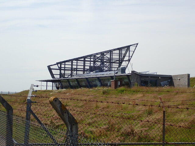
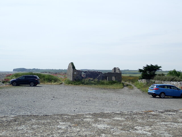
Boys Village

St Athan Boys' Village was a village-style holiday camp located in West Aberthaw, Vale of Glamorgan, Wales. == Development and operations == Philanthropist...

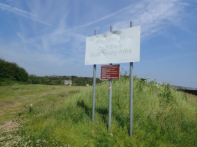
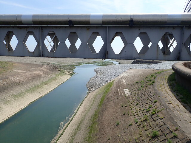
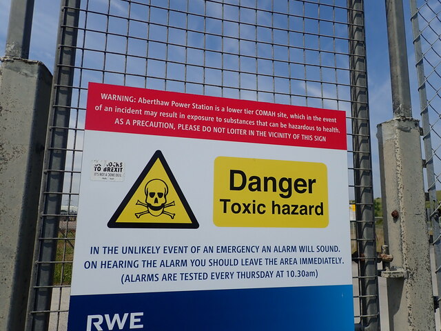
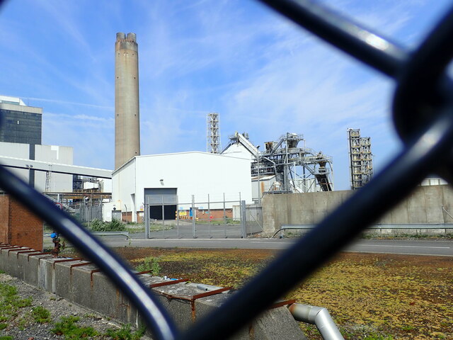
Aberthaw power stations

Aberthaw Power Station refers to two decommissioned coal-fired and co-fired biomass power stations on the coast of South Wales, near Barry in the Vale...
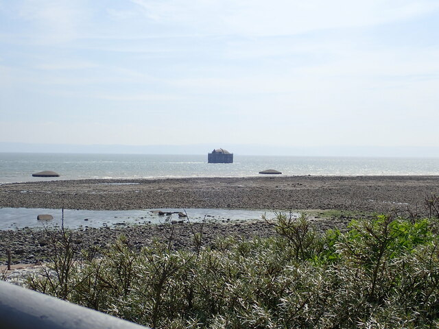
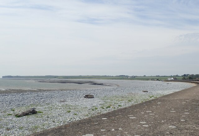
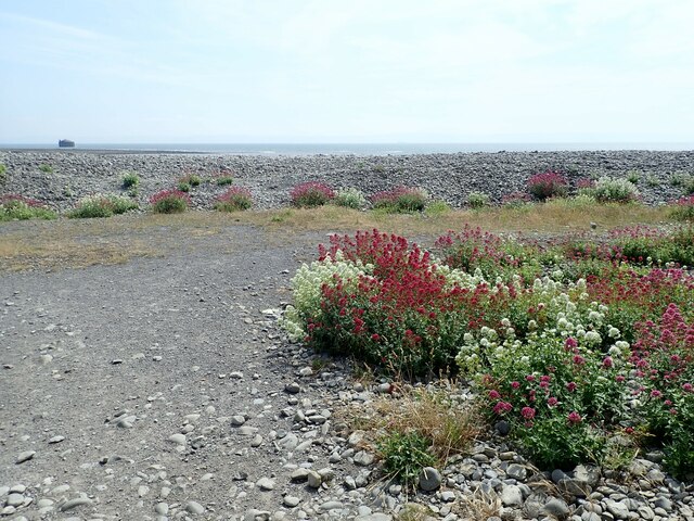
Limpert Bay

Limpert Bay (Welsh: Bae Limpert) is a beach on the Bristol Channel which connects to Watch House Beach to the East, the line of division is the run-off...

St Athan

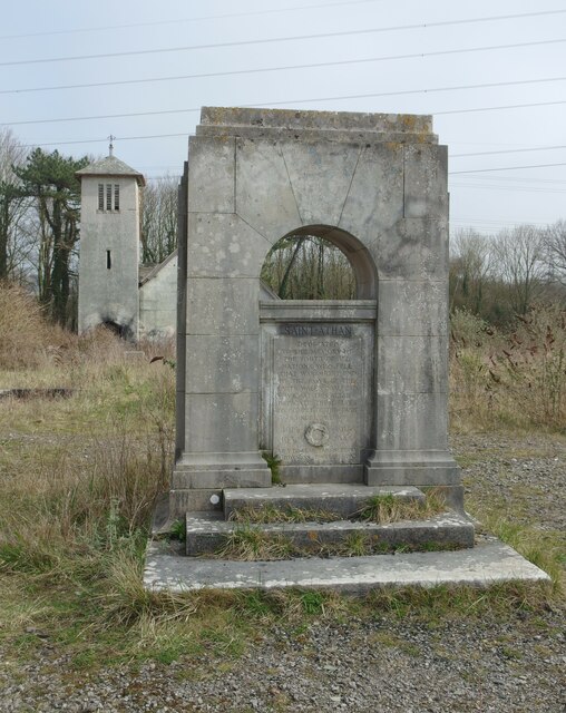
St Athan (Welsh: Sain Tathan) is a village and community in the Vale of Glamorgan in South Wales. The village and its parish church are dedicated to Saint...

St Tathan's Church

St Tathan's Church is a medieval church in St. Athan, in the Vale of Glamorgan, Wales. It is dedicated to Saint Tathan. The building's origins are probably...

Nearby Amenities

Located within 500m of 51.393545,-3.4099437
West Aberthaw Farm
Place: farm
Wikidata: Q29505694
Lat/Long: 51.3921541/-3.4055758
Telephone
Defibrillator
Addr City: Gileston
Addr Street: Gileston Road
Booth: K6
Covered: booth
Defibrillator Location: inside old red phone box in West Aberthaw
Emergency: defibrillator
Man Made: telephone_box
Lat/Long: 51.3937164/-3.4115768
West Aberthaw
Name Br: Gorllewin Aberddawan
Name Cy: Gorllewin Aberddawan
Place: village
Source Name Br: proper translation
Lat/Long: 51.392553/-3.4037827
Power: pole
Lat/Long: 51.3962922/-3.414562
Power: pole
Lat/Long: 51.3961415/-3.4129192
Power: pole
Lat/Long: 51.3959993/-3.4113246
Power: pole
Lat/Long: 51.3960595/-3.4097314
Power: pole
Lat/Long: 51.3961482/-3.4081623
Power: pole
Lat/Long: 51.3962135/-3.4068212
Power: pole
Lat/Long: 51.3962587/-3.4058556
Power: pole
Lat/Long: 51.3963307/-3.4043831
Post Box
Operator: Royal Mail
Post Box Mounting: stone_wall
Post Box Type: wall
Ref: CF62 66D
Royal Cypher: GVIR
Royal Cypher Wikidata: Q33102169
Lat/Long: 51.3936412/-3.4116688
Information: guidepost
Tourism: information
Lat/Long: 51.3937567/-3.4115777
The data included in this document is from www.openstreetmap.org. The data is made available under ODbL.

Have you been to Boys Village?

Leave your review of Boys Village below (or comments, questions and feedback).