St Ann's Hill
Settlement in Surrey Runnymede
England
St Ann's Hill
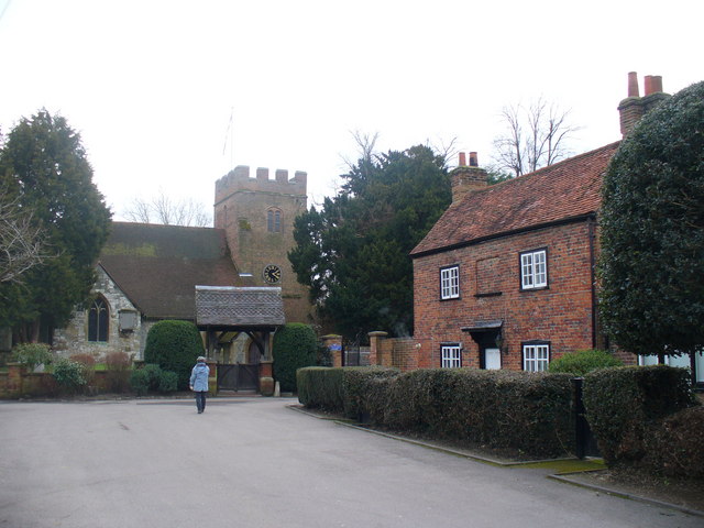
St Ann's Hill is a scenic area located in Chertsey, Surrey, England. It is a prominent landmark in the region, known for its breathtaking views and rich history. The hill stands approximately 75 meters above sea level and offers panoramic vistas of the surrounding countryside.
The area is a popular spot for nature enthusiasts and hikers, with several well-maintained trails that wind through the hill's lush woodlands. St Ann's Hill is home to a diverse range of wildlife, including deer, foxes, and a variety of bird species, making it a haven for birdwatchers.
At the summit of the hill, visitors can find the remains of an Iron Age hillfort, believed to have been constructed around 400 BC. These ancient earthworks serve as a reminder of the area's historical significance and attract history buffs from far and wide.
In addition to its natural beauty, St Ann's Hill offers recreational facilities for both adults and children. There is a well-equipped playground for younger visitors, as well as a designated picnic area where families can enjoy a leisurely lunch amidst the picturesque surroundings.
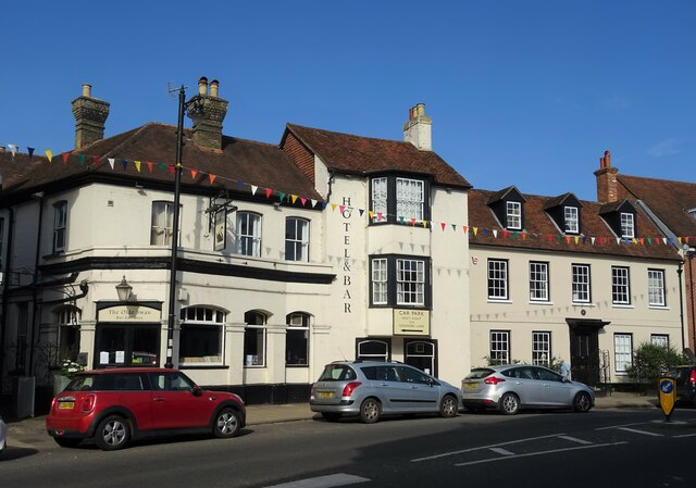
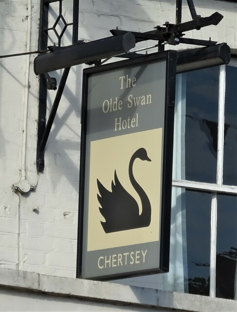
The hill is easily accessible, with ample parking available nearby. It is also within walking distance of Chertsey town center, where visitors can explore a range of shops, cafes, and restaurants. Overall, St Ann's Hill is a cherished gem in Surrey, offering a tranquil escape from the hustle and bustle of daily life.
If you have any feedback on the listing, please let us know in the comments section below.
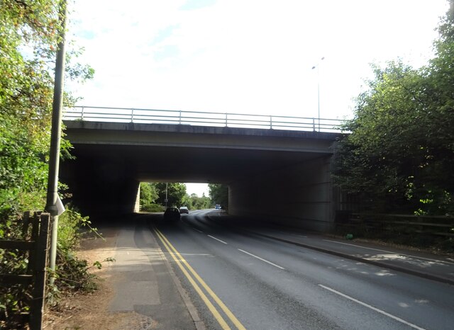
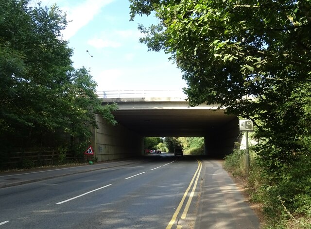
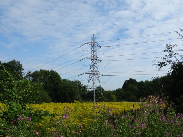
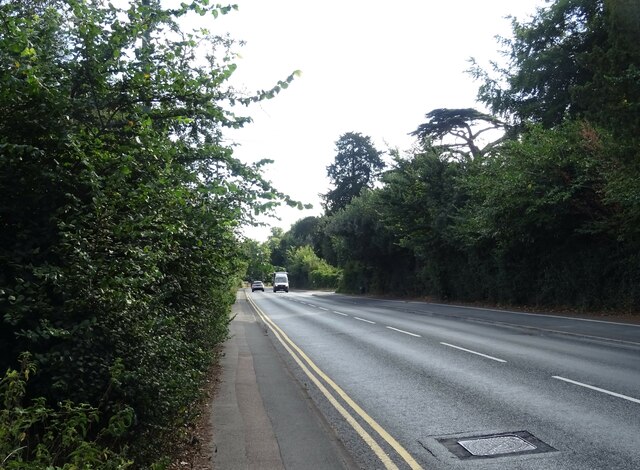
St Ann's Hill Images
Images are sourced within 2km of 51.39613/-0.52986517 or Grid Reference TQ0267. Thanks to Geograph Open Source API. All images are credited.
St Ann's Hill is located at Grid Ref: TQ0267 (Lat: 51.39613, Lng: -0.52986517)
Administrative County: Surrey
District: Runnymede
Police Authority: Surrey
What 3 Words
///paid.courier.candy. Near Chertsey, Surrey
Nearby Locations
Related Wikis
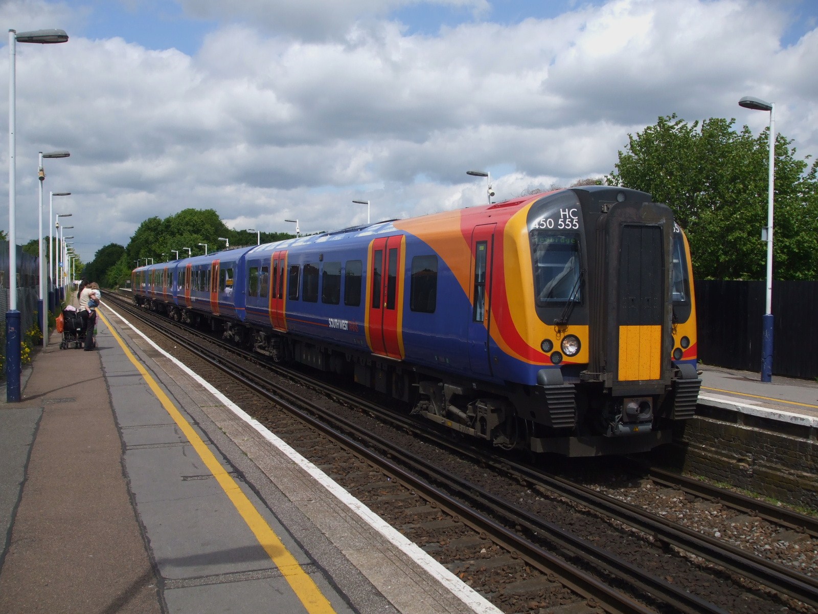
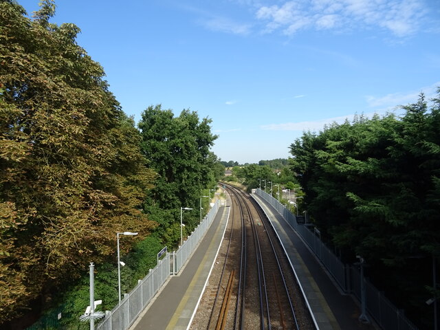
Chertsey branch line
The Chertsey branch line connects Virginia Water station on the Waterloo to Reading main line to Weybridge station on the Waterloo to Woking main line...

Tara, Chertsey
Tara was a house on St Anns Hill, Chertsey, Surrey owned by The Who's drummer Keith Moon in the 1970s, but was demolished and replaced by a new home in...

Borough of Runnymede
The Borough of Runnymede is a local government district with borough status in the English county of Surrey. It is a very prosperous part of the London...

Thorpe Interchange
The Thorpe Interchange is a large motorway free-flow intersection in Surrey, United Kingdom, connecting the M3 with the M25. == History == === M3 === The...

Thorpe Park No 1 Gravel Pit
Thorpe Park No 1 Gravel Pit is a 42.5-hectare (105-acre) biological Site of Special Scientific Interest (SSSI) east of Virginia Water in Surrey. It is...

Nemesis Inferno
Nemesis Inferno is a steel inverted roller coaster at the Thorpe Park theme park in Surrey, England, UK. Its layout was conceived and designed by John...
Hardwick Court Farm
Hardwick Court Farm, Hardwick Court when a manor, is a large farm with farmhouse in the west of Chertsey, Surrey, England and was first established during...
Thorpe, Surrey
Thorpe is a village in northwest Surrey, England, around 20 miles (32 km) west of central London. It is in the Borough of Runnymede, between Egham, Virginia...
Nearby Amenities
Located within 500m of 51.39613,-0.52986517Have you been to St Ann's Hill?
Leave your review of St Ann's Hill below (or comments, questions and feedback).