East Orchard Wood
Wood, Forest in Glamorgan
Wales
East Orchard Wood
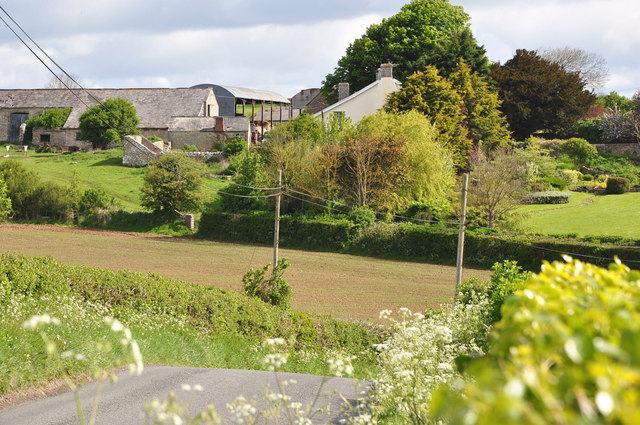
East Orchard Wood is a picturesque forest located in the county of Glamorgan, Wales. Situated in the eastern part of the region, this woodland boasts a rich history and offers a tranquil escape from the bustling city life.
Covering an area of approximately 100 acres, East Orchard Wood is known for its diverse range of flora and fauna. The forest is primarily composed of native broadleaf trees, including oak, beech, and birch, which provide a dense canopy and create a cool and shady atmosphere on warm summer days. The forest floor is carpeted with a variety of wildflowers, adding vibrant colors to the landscape.
The wood is crisscrossed by a network of well-maintained walking trails, making it a popular destination for nature enthusiasts and hikers. These trails lead visitors through different sections of the forest, allowing them to explore its hidden gems, such as a small stream that meanders through the woods, providing a peaceful soundtrack to the surroundings.
East Orchard Wood is also home to a diverse range of wildlife. Birdwatchers can spot various species, including woodpeckers, owls, and songbirds. The forest is also inhabited by small mammals, such as squirrels, rabbits, and foxes. Nature lovers may even catch a glimpse of the elusive red deer, which occasionally roam the area.
With its natural beauty and tranquil ambiance, East Orchard Wood offers visitors a chance to reconnect with nature and enjoy the peacefulness of the forest environment. Whether it's a leisurely stroll, birdwatching, or simply seeking solace in the midst of nature, this woodland provides a serene retreat for all who venture within its boundaries.
If you have any feedback on the listing, please let us know in the comments section below.
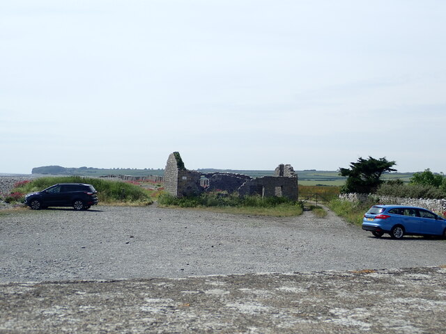
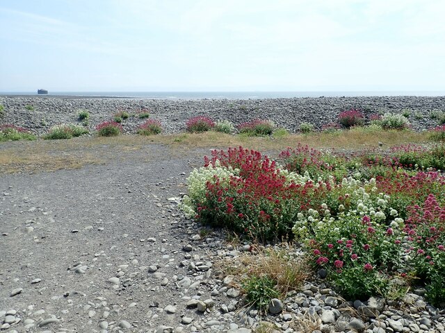
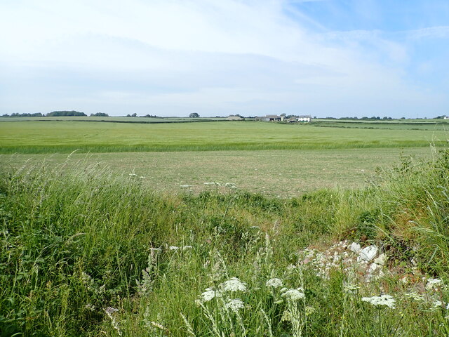
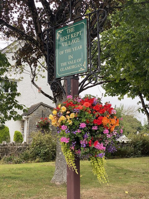
East Orchard Wood Images
Images are sourced within 2km of 51.401705/-3.3976155 or Grid Reference ST0267. Thanks to Geograph Open Source API. All images are credited.


East Orchard Wood is located at Grid Ref: ST0267 (Lat: 51.401705, Lng: -3.3976155)
Unitary Authority: The Vale of Glamorgan
Police Authority: South Wales
What 3 Words
///princes.tricky.prank. Near Rhoose, Vale of Glamorgan
Nearby Locations
Related Wikis

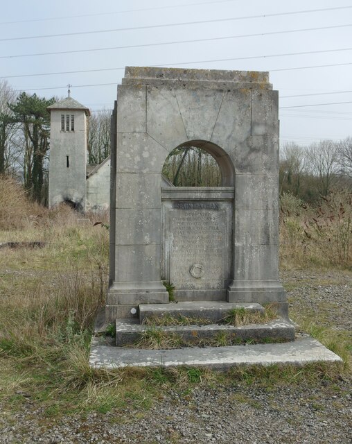
St Athan Road railway station
St Athan Road railway station served the village of St Athan in the Vale of Glamorgan in South Wales. == History == The station was built by the Cowbridge...

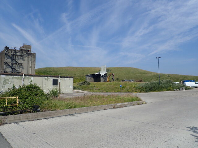
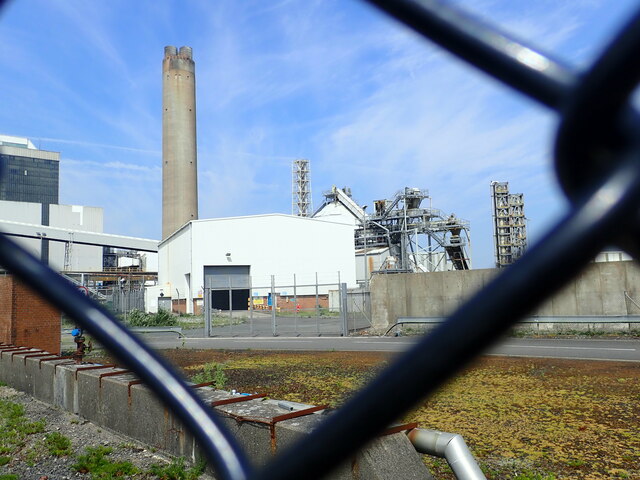
Aberthaw Cement Works
Aberthaw Cement Works are cement works in the Vale of Glamorgan near the village of East Aberthaw in Wales. == History == The Blue Lias limestone of Aberthaw...

Boys Village
St Athan Boys' Village was a village-style holiday camp located in West Aberthaw, Vale of Glamorgan, Wales. == Development and operations == Philanthropist...
Llancadle
Llancadle (Welsh: Llancatal) is a rural village south-west of Barry near Rhoose in the Vale of Glamorgan, in Wales. Llancadle is located near the international...
Nearby Amenities
Located within 500m of 51.401705,-3.3976155Have you been to East Orchard Wood?
Leave your review of East Orchard Wood below (or comments, questions and feedback).