Road Wood

Wood, Forest in Brecknockshire

Wales

Road Wood

River Wye at Builth Wells
River Wye at Builth Wells Credit: Eirian Evans

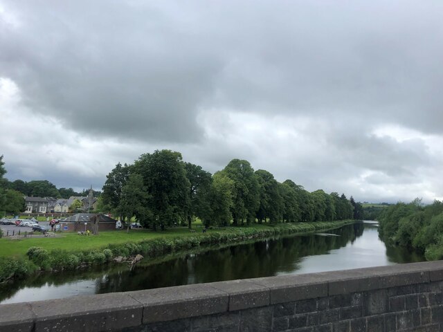
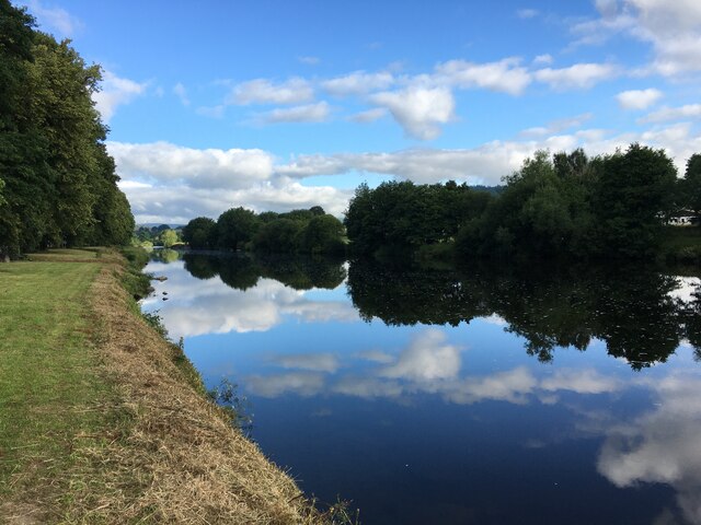
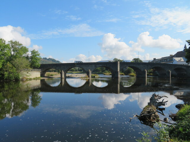
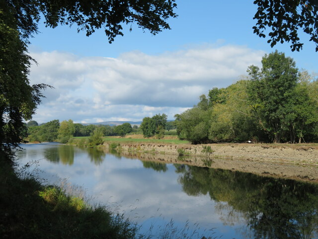
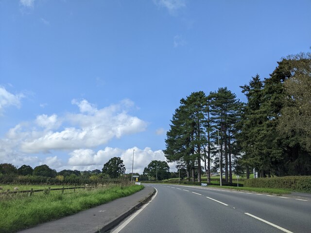
Road Wood is a picturesque forest located in the historic county of Brecknockshire, Wales. It covers an area of approximately 100 acres and is renowned for its natural beauty and diverse range of flora and fauna. The wood is easily accessible, situated just off the A470 road, making it a popular destination for both locals and tourists.

The woodland is predominantly composed of native broadleaf trees such as oak, beech, and ash, which create a vibrant canopy overhead. The forest floor is covered in a lush carpet of bluebells, wild garlic, and ferns, providing a picturesque setting for leisurely walks and nature exploration.

Road Wood is also home to a variety of wildlife species, including deer, badgers, foxes, and a wide array of bird species. Birdwatchers can often spot woodpeckers, owls, and various migratory birds throughout the year.

The forest offers a network of well-maintained trails, allowing visitors to explore its enchanting surroundings. These paths cater to all abilities, ranging from gentle strolls to more challenging hikes. The wood is also equipped with picnic areas and benches, providing opportunities for visitors to relax and enjoy the tranquil ambiance.

Additionally, Road Wood is a designated Site of Special Scientific Interest (SSSI) due to its rich biodiversity and ecological importance. It is actively managed by local conservation organizations to ensure the preservation of its natural habitats and wildlife.

Overall, Road Wood is a haven for nature lovers and outdoor enthusiasts, offering an idyllic escape into the heart of Brecknockshire's enchanting woodland.

If you have any feedback on the listing, please let us know in the comments section below.
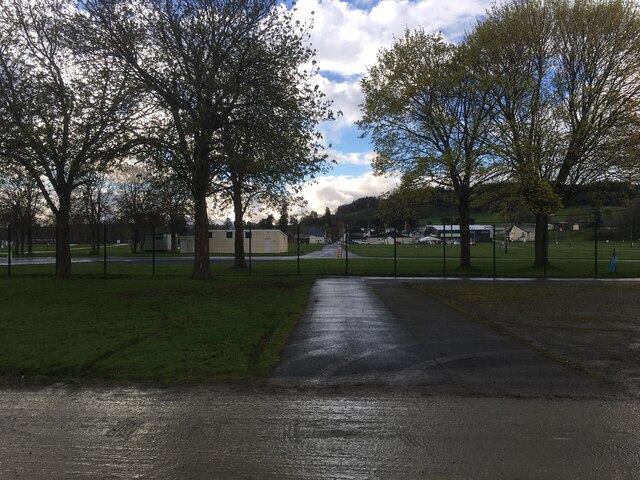
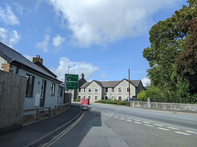
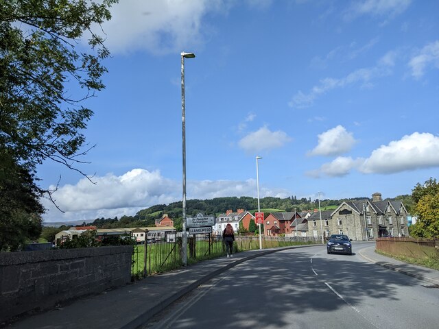
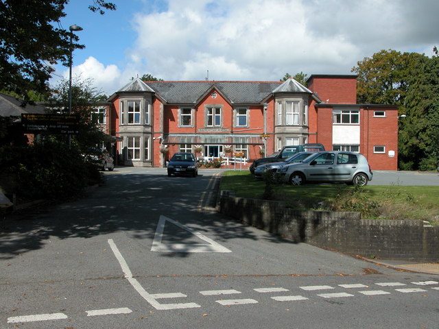
Road Wood Images

Images are sourced within 2km of 52.142379/-3.4206908 or Grid Reference SO0250. Thanks to Geograph Open Source API. All images are credited.

River Wye at Builth Wells
River Wye, Builth Wells
Wyeside Arts Centre, Builth Wells
Wye Bridge, Builth Wells Low water levels on the Wye after a long dry summer. The bridge is crossed by the main south to north road through Wales, the A470.
Wye Bridge, Builth Wells
Low water levels on the Wye after a long dry summer. The bridge is crossed by the main south to north road through Wales, the A470.
Wyeside Arts Centre A curious looking building which deserved a little research to discover its original purpose. Opened on 30th November 1877 as a Market Hall and converted to use as an arts centre and cinema in 1977, although an OS map of the 1950's shows it as a cinema then. Grade II listed and reportedly built in an Italianate Gothic style - very appropriate for mid Wales.
Wyeside Arts Centre
A curious looking building which deserved a little research to discover its original purpose. Opened on 30th November 1877 as a Market Hall and converted to use as an arts centre and cinema in 1977, although an OS map of the 1950's shows it as a cinema then. Grade II listed and reportedly built in an Italianate Gothic style - very appropriate for mid Wales.
The Wye above Builth Wells Pleasant stretch of river around half a mile upstream from the bridge in Builth.
The Wye above Builth Wells
Pleasant stretch of river around half a mile upstream from the bridge in Builth.
Periphery of Royal Welsh Showground, near Builth Wells
Mural by Castle Street in Builth Wells
Llanelwedd Arms Hotel, Builth Wells
Motor dealers, Builth Wells
Bridge across the Severn A classic view of the bridge which carries the main A470 Welsh north-south trunk road across the river at Builth Wells.
Bridge across the Severn
A classic view of the bridge which carries the main A470 Welsh north-south trunk road across the river at Builth Wells.
Co-op at Builth Wells
Castle Street, Builth Wells
About to enter Llanelwedd
On the A470, heading north-west
Farm at Llanddewi’r Cwm
Ordnance Survey Cut Mark This OS cut mark can be found on the SW angle of St David's Church. It marks a point 223.287m above mean sea level.
Ordnance Survey Cut Mark
This OS cut mark can be found on the SW angle of St David's Church. It marks a point 223.287m above mean sea level.
Bridge over Afon Duhonw
Show me another place!

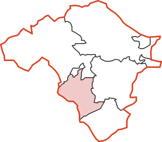
Road Wood is located at Grid Ref: SO0250 (Lat: 52.142379, Lng: -3.4206908)

Unitary Authority: Powys

Police Authority: Dyfed Powys

What 3 Words

///smarting.spooned.binders. Near Builth Wells, Powys

Related Wikis

Builth Wells Hospital

Builth Wells Hospital (Welsh: Ysbyty Llanfair ym Muallt) was a heath facility in Bronllys, Wales. It was managed by Powys Teaching Health Board. ��2�...

Builth Wells F.C.

Builth Wells F.C. is a Welsh football club based in Builth Wells, Powys. They are currently playing in the Ardal Leagues North East, the third tier of...

Builth Wells

Builth Wells (; Welsh: Llanfair-ym-Muallt) is a market town and community in the county of Powys and historic county of Brecknockshire (Breconshire), mid...

Colwyn Rural District

Colwyn was, from 1894 to 1974, a rural district in the administrative county of Radnorshire, Wales. The district was formed by the Local Government Act...

Nearby Amenities

Located within 500m of 52.142379,-3.4206908
Post Box
Lat/Long: 52.1434932/-3.4204934
Power: pole
Source: Bing
Transformer: distribution
Lat/Long: 52.1420587/-3.427142
Power: pole
Source: Bing
Lat/Long: 52.1411991/-3.4155035
Power: pole
Source: Bing
Lat/Long: 52.1413786/-3.4229531
Power: pole
Source: Bing
Lat/Long: 52.1413275/-3.4200069
Power: pole
Source: Bing
Lat/Long: 52.1412535/-3.4172094
Neuadd-Isaf
Place: hamlet
Lat/Long: 52.1392488/-3.4209774
Power: pole
Lat/Long: 52.1421334/-3.4232976
Power: pole
Lat/Long: 52.1428357/-3.4236776
Power: pole
Lat/Long: 52.1438586/-3.4238214
Power: pole
Lat/Long: 52.1416249/-3.4244374
Power: pole
Lat/Long: 52.1418674/-3.4259797
The data included in this document is from www.openstreetmap.org. The data is made available under ODbL.

Have you been to Road Wood?

Leave your review of Road Wood below (or comments, questions and feedback).