St Augustines
Settlement in Derbyshire Chesterfield
England
St Augustines

The requested URL returned error: 429 Too Many Requests
If you have any feedback on the listing, please let us know in the comments section below.
St Augustines Images
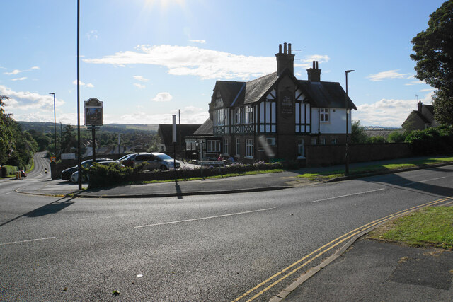
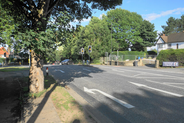
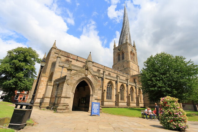
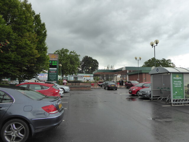
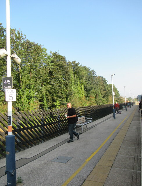
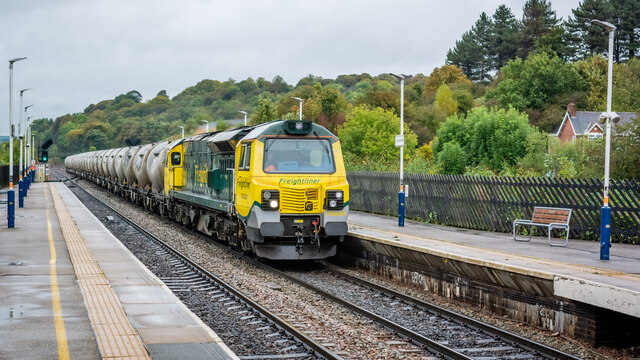
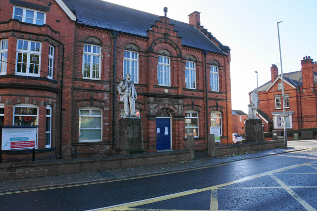
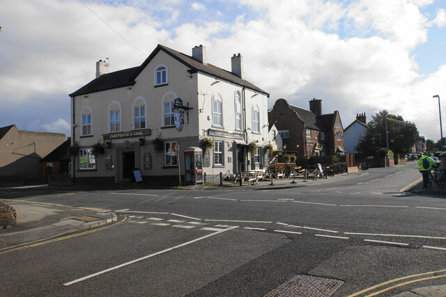
Images are sourced within 2km of 53.226751/-1.428 or Grid Reference SK3870. Thanks to Geograph Open Source API. All images are credited.

St Augustines is located at Grid Ref: SK3870 (Lat: 53.226751, Lng: -1.428)
Administrative County: Derbyshire
District: Chesterfield
Police Authority: Derbyshire
What 3 Words
///stops.mostly.rail. Near Walton, Derbyshire
Nearby Locations
Related Wikis

Boythorpe
Boythorpe is a small suburb to the south-west of Chesterfield town centre in Derbyshire, England. It also borders Birdholme to its east, and Walton to...
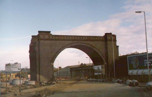
Boythorpe Viaduct
Boythorpe Viaduct was a railway viaduct in Chesterfield, England. == Description == The viaduct had two spans and two arches, which carried the LD&ECR...
Horns Bridge
Horns Bridge is a small area on the southeastern edge of Chesterfield, Derbyshire, England which was remarkable at one time for its congested intersection...
Queen's Park, Chesterfield
Queen's Park is a county cricket ground located in Chesterfield, Derbyshire, England and lies within a park in the centre of the town established for the...
Nearby Amenities
Located within 500m of 53.226751,-1.428Have you been to St Augustines?
Leave your review of St Augustines below (or comments, questions and feedback).