Spout

Settlement in Derbyshire Amber Valley

England

Spout

Manifold Farm Looking across the hedge that separates Jebb lane from the fields of Manifold Farm.
Manifold Farm Credit: Malcolm Neal

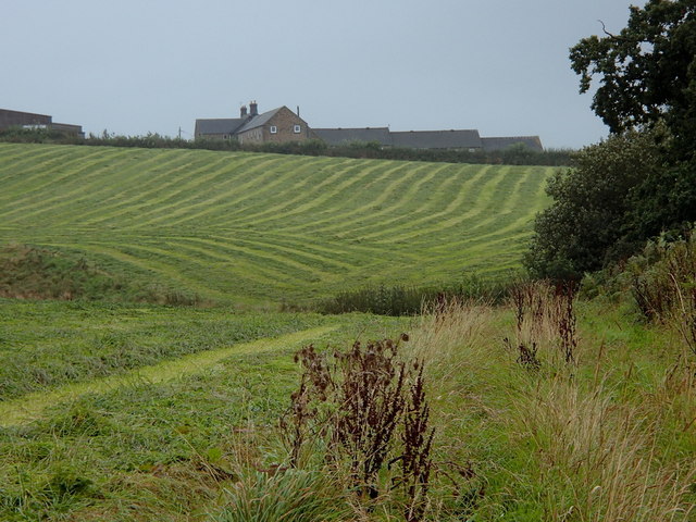
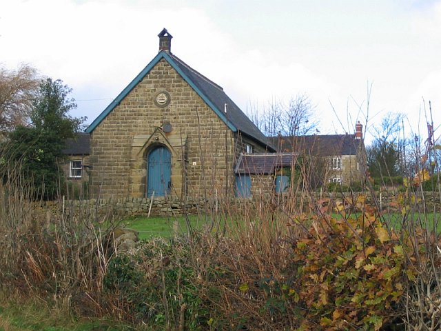
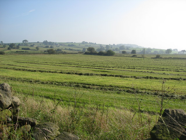
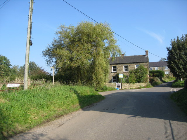
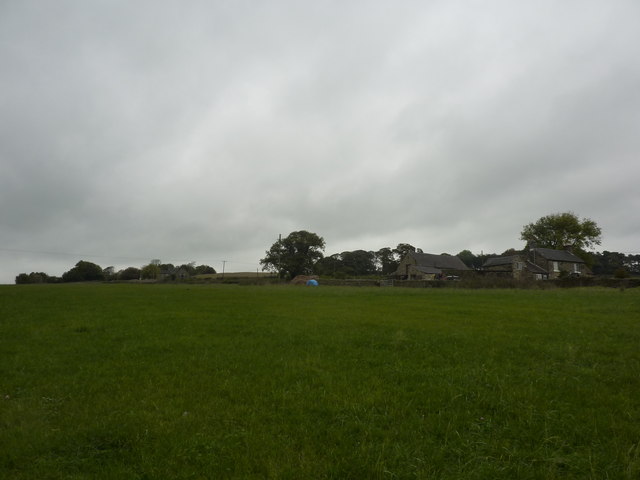
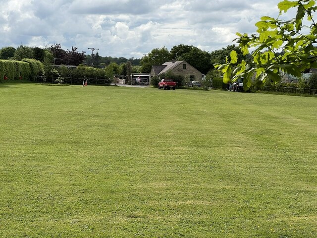
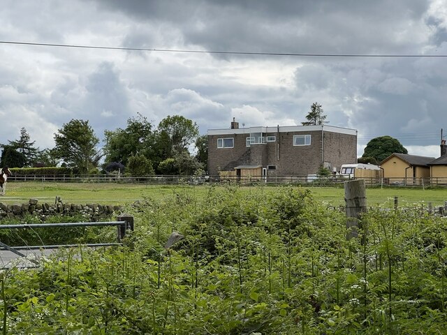
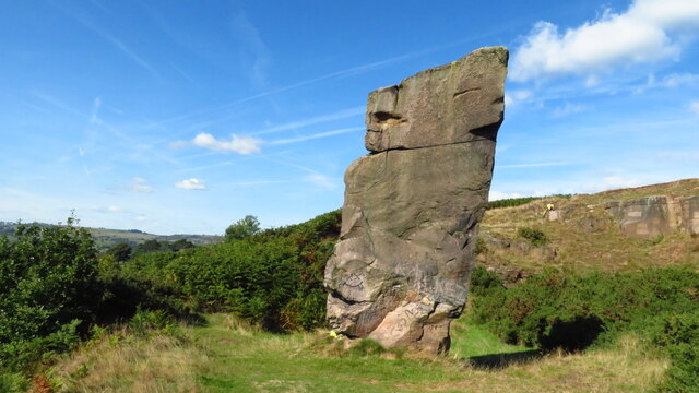
Spout is a small village located in the county of Derbyshire, England. Situated in the High Peak district, it is nestled within the picturesque Peak District National Park. The village is known for its stunning natural beauty, with rolling hills, lush green fields, and charming stone cottages.

One of the main attractions of Spout is its close proximity to the iconic Kinder Scout, the highest peak in the Peak District. This makes it a popular destination for outdoor enthusiasts, offering a range of activities such as hiking, mountain biking, and birdwatching.

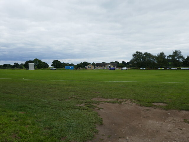
The village itself is a peaceful and close-knit community, with a population of around 200 residents. It has a small but welcoming atmosphere, with a local pub, The Spout Inn, serving as a social hub for both locals and visitors.

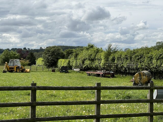
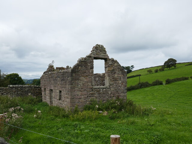
Historically, Spout was primarily a farming community, with agriculture playing a significant role in the village's economy. However, like many rural areas, it has seen a shift towards tourism in recent years, as more people discover the beauty and tranquility of the area.

In conclusion, Spout is a charming village in Derbyshire that offers a peaceful retreat in the heart of the Peak District. With its stunning natural surroundings and close proximity to Kinder Scout, it is an ideal destination for outdoor enthusiasts and those seeking a serene escape from the bustling city life.

If you have any feedback on the listing, please let us know in the comments section below.
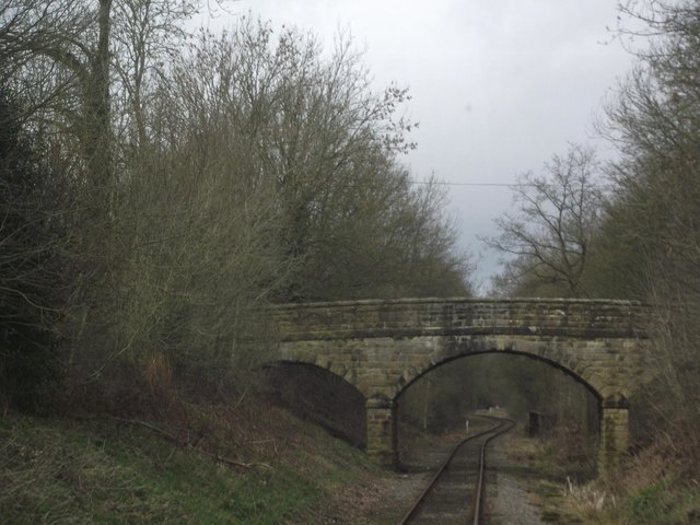
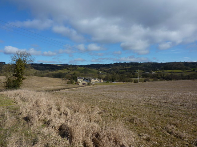
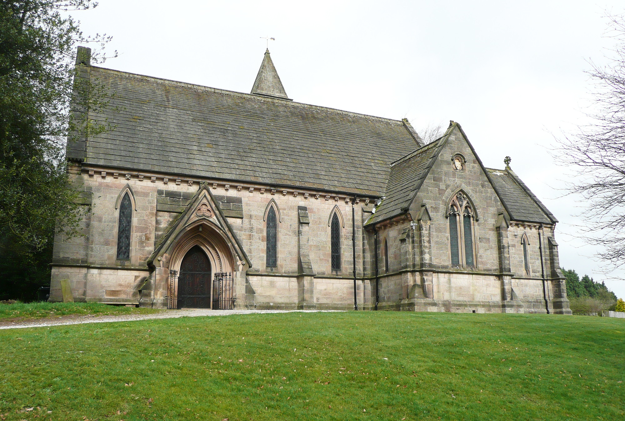
Spout Images

Images are sourced within 2km of 53.058793/-1.5478469 or Grid Reference SK3051. Thanks to Geograph Open Source API. All images are credited.

Manifold Farm Looking across the hedge that separates Jebb lane from the fields of Manifold Farm.
Manifold Farm
Looking across the hedge that separates Jebb lane from the fields of Manifold Farm.
Fields towards Manifold Farm Rows of recently cut grass.  Hoping in vain for drying weather.
Fields towards Manifold Farm
Rows of recently cut grass. Hoping in vain for drying weather.
Methodist chapel, Shottle This methodist chapel no longer appears on modern maps. Presumably, it has been converted to domestic housing?
Methodist chapel, Shottle
This methodist chapel no longer appears on modern maps. Presumably, it has been converted to domestic housing?
Freshly mown fields near Shottle
Shottle - Lambhouse Lane
Shottle - Heavygate Lane
On a path to Shottle Referred to as "Sothille" in the Domesday Survey, much of the land here is owned by the Chatsworth Estate.
On a path to Shottle
Referred to as "Sothille" in the Domesday Survey, much of the land here is owned by the Chatsworth Estate.
Bear Pit Campsite A nice looking campsite, but as its name suggests, rather bare.
Bear Pit Campsite
A nice looking campsite, but as its name suggests, rather bare.
Farm Implements An array of older farming implements.
Farm Implements
An array of older farming implements.
Palerow An unusual building out in the countryside, but I can remember it as a car garage and fuel station.
Palerow
An unusual building out in the countryside, but I can remember it as a car garage and fuel station.
Alport Height rock tower
Belper Amateurs Cricket Club
Abandoned cottage near Alport Height
Alton Brook
Alton Brook
Derby Road crosses the Ecclesbourne Valley Railway
Holehouse Farm
Holehouse Farm
Stable block and footpath
New gate on the Ecclesbourne Way This little footpath has been incorporated into the Alport Height extension of the Ecclesbourne Way. A new gate has been fitted and an Ecclesbourne Way arrow has been added to the signpost.
New gate on the Ecclesbourne Way
This little footpath has been incorporated into the Alport Height extension of the Ecclesbourne Way. A new gate has been fitted and an Ecclesbourne Way arrow has been added to the signpost.
Show me another place!

Spout is located at Grid Ref: SK3051 (Lat: 53.058793, Lng: -1.5478469)

Administrative County: Derbyshire

District: Amber Valley

Police Authority: Derbyshire

What 3 Words

///tune.interrupt.relaxing. Near Wirksworth, Derbyshire

Related Wikis

Alport Height

Alport Height is a hill near Wirksworth in Derbyshire. It is a popular picnic site, since it has extensive views to the South, and is the first hill over...

Ashleyhay

Ashleyhay (Old English Enclosure at the ash-tree wood or clearing ) is a village and civil parish in the Amber Valley district of Derbyshire, England,...

Duffield Frith

Duffield Frith was, in medieval times, an area of Derbyshire in England, part of that bestowed upon Henry de Ferrers (or Ferrars) by King William, controlled...

Alderwasley Hall Sixth Form Centre

Alderwasley Hall Sixth Form is an independent special needs Sixth Form Centre located one mile south of Wirksworth in Derbyshire it is part of Alderwasley...

Alderwasley

Alderwasley ( AL-ərz-LEE) is a village and civil parish in the Amber Valley district of Derbyshire, England. The population of the civil parish as of the...
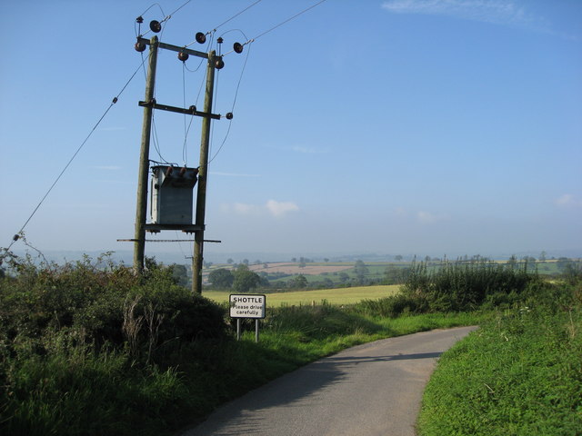
Shottle

Shottle is a village approximately 3 miles (4.8 km) south of the market town of Wirksworth in Derbyshire. The population of the civil parish (Shottle and...

Breamfield

Breamfield is a hamlet in Derbyshire, England. It is located 1 mile south-east of Wirksworth.

Haarlem Mill

Haarlem Mill, on the River Ecclesbourne in Wirksworth, Derbyshire, was an early cotton mill. Built by Richard Arkwright, it was the first cotton mill in...

Nearby Amenities

Located within 500m of 53.058793,-1.5478469
Alport Height
Alt Name: Alport Heights
Fee: no
Operator: National Trust
Tourism: attraction
Wikidata: Q4735636
Lat/Long: 53.0608347/-1.5466504
Spout
Place: hamlet
Lat/Long: 53.0585471/-1.5478985
Barrier: block
Foot: permissive
Lat/Long: 53.0613405/-1.5485448
Barrier: stile
Material: stone
Source: survey
Stile: squeezer
Lat/Long: 53.0567814/-1.5450019
Barrier: stile
Material: stone
Source: survey;bing
Stile: squeezer
Lat/Long: 53.0560253/-1.5431195
Barrier: stile
Material: stone
Source: survey;gps
Stile: squeezer
Lat/Long: 53.0622675/-1.5445106
Communication Police: yes
Description: Derbyshire Constabulary Alport Height Airwave site
Man Made: tower
Tower Construction: lattice
Tower Type: communication
Lat/Long: 53.0610063/-1.5463926
Ele: 311.0000000
Lat/Long: 53.0609196/-1.5470576
Ele: 312.0000000
Lat/Long: 53.0611823/-1.5467936
Ele: 238.0000000
Lat/Long: 53.0568327/-1.5498191
Barrier: stile
Material: stone
Stile: squeezer
Lat/Long: 53.0555851/-1.5480703
Barrier: stile
Stile: squeezer
Lat/Long: 53.0555792/-1.546084
Passing Place
Lat/Long: 53.0609797/-1.5488901
Barrier: stile
Material: stone
Stile: squeezer
Lat/Long: 53.0557367/-1.5446369
Barrier: stile
Material: stone
Source: survey;gps
Stile: squeezer
Lat/Long: 53.057865/-1.5461949
Barrier: stile
Material: stone
Source: survey;bing
Stile: squeezer
Lat/Long: 53.0576968/-1.5442786
Barrier: entrance
Source: survey;gps
Lat/Long: 53.0574409/-1.5483291
Ashleyhay
Place: locality
Wikidata: Q2369376
Lat/Long: 53.0630364/-1.5471434
Alport Stone
Natural: stone
Lat/Long: 53.0605388/-1.5482502
Alport Height Topograph
Information: board
Tourism: information
Lat/Long: 53.0606245/-1.5464141
Defibrillator
Access: yes
Defibrillator Location: Shottle
Emergency: defibrillator
Indoor: no
Opening Hours: 24/7
Ref GB The Circuit: 8326027D-EC7D-4F71-9F25-F99E60CA284F
Lat/Long: 53.0586616/-1.5473342
Communication Police: yes
Man Made: tower
Tower Construction: lattice
Tower Type: communication
Lat/Long: 53.0608307/-1.5460412
Description: Western Power Distribution communications tower
Man Made: tower
Tower Construction: lattice
Tower Type: communication
Lat/Long: 53.060648/-1.5456443
Description: Western Power Distribution communications tower
Man Made: tower
Tower Construction: lattice
Tower Type: communication
Lat/Long: 53.0605543/-1.5453694
Description: Zycom communications
Man Made: tower
Tower Construction: lattice
Tower Type: communication
Lat/Long: 53.0614765/-1.5476056
Description: Zycom communications
Man Made: tower
Tower Construction: lattice
Tower Type: communication
Lat/Long: 53.0614066/-1.5471126
Description: Unused tower, appears vacant
Man Made: tower
Tower Construction: lattice
Tower Type: communication
Lat/Long: 53.0612383/-1.5468281
Description: Mobile Phone Mast
Man Made: tower
Lat/Long: 53.0605912/-1.5456162
Description: Mobile Phone Mast
Man Made: tower
Lat/Long: 53.0608329/-1.5460159
Man Made: survey_point
Ref: S1547
Lat/Long: 53.0606517/-1.5455411
Alport Height
Ele: 314
Natural: peak
Lat/Long: 53.0606224/-1.5455181
The data included in this document is from www.openstreetmap.org. The data is made available under ODbL.

Have you been to Spout?

Leave your review of Spout below (or comments, questions and feedback).