Fritchley Plantation

Wood, Forest in Derbyshire Amber Valley

England

Fritchley Plantation

The Ecclesbourne Way below Manifold Farm Heading towards Hilltop.
The Ecclesbourne Way below Manifold Farm Credit: Ian Calderwood

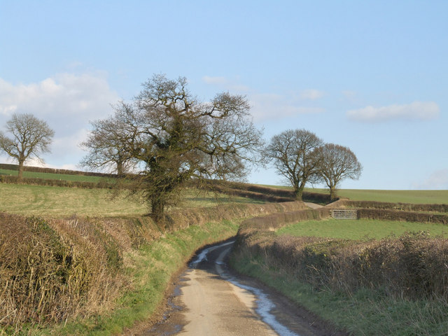
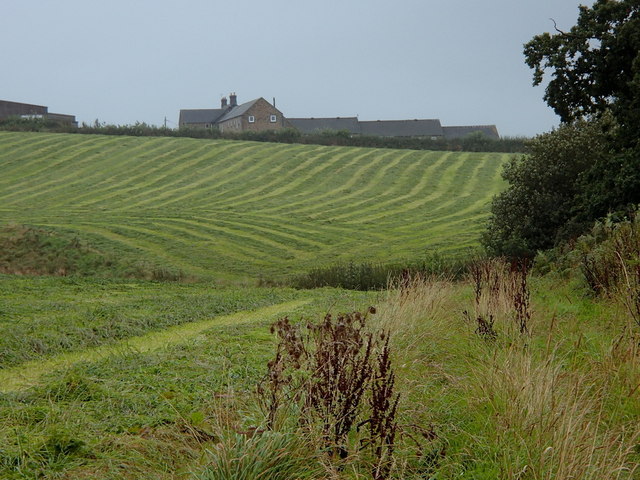
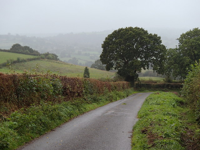
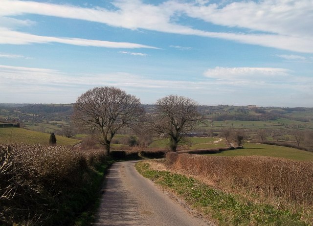
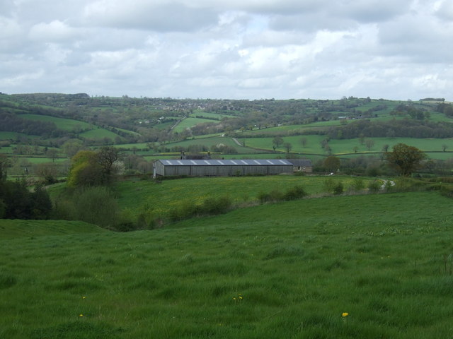
Fritchley Plantation is a picturesque woodland located in Derbyshire, England. Situated in the village of Fritchley, this plantation covers a substantial area of land and is known for its scenic beauty and diverse range of flora and fauna.

The woodland is primarily composed of deciduous trees, including oak, beech, and ash, which create a dense canopy that provides shade and shelter to the forest floor. The plantation also features a variety of wildflowers, ferns, and mosses, adding to its natural charm.

Fritchley Plantation is home to a wide range of wildlife, making it an ideal destination for nature enthusiasts. Visitors might spot various bird species, such as woodpeckers, robins, and owls, as well as small mammals like foxes, squirrels, and hedgehogs. The woodland is also known for its population of deer, which can often be seen grazing peacefully in the early morning or late evening.

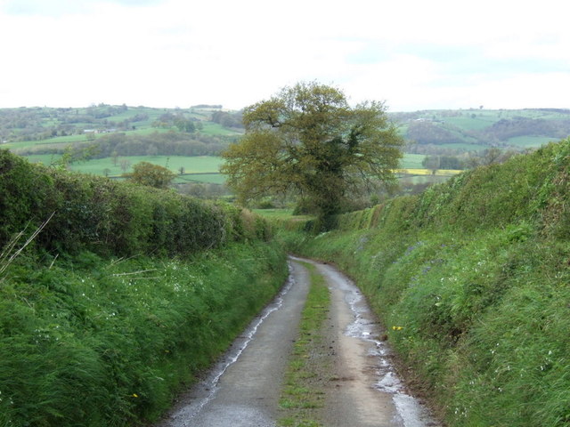
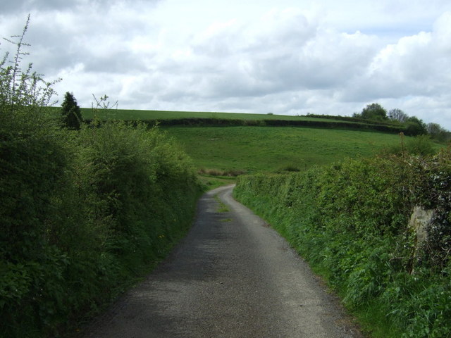
The plantation offers several walking trails, allowing visitors to explore its beauty at their own pace. These paths wind through the woodland, providing glimpses of stunning vistas, babbling brooks, and hidden clearings. The tranquil atmosphere and abundance of natural beauty make Fritchley Plantation a popular destination for hikers, joggers, and nature lovers alike.

Overall, Fritchley Plantation is a captivating woodland that offers a serene escape from the hustle and bustle of everyday life. Its rich biodiversity and stunning scenery make it a must-visit location for anyone seeking a connection with nature in Derbyshire.

If you have any feedback on the listing, please let us know in the comments section below.

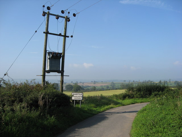
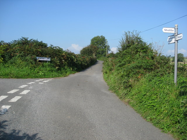
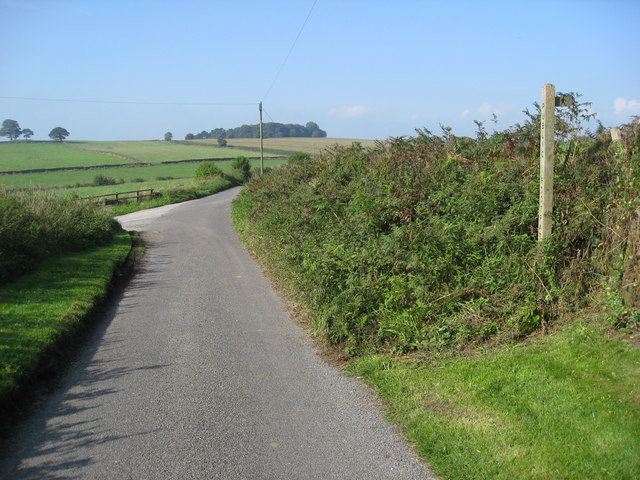
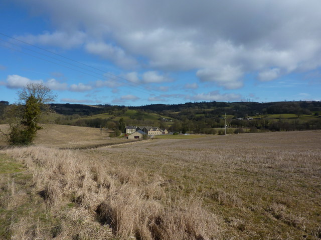
Fritchley Plantation Images

Images are sourced within 2km of 53.05554/-1.5435094 or Grid Reference SK3051. Thanks to Geograph Open Source API. All images are credited.

The Ecclesbourne Way below Manifold Farm Heading towards Hilltop.
The Ecclesbourne Way below Manifold Farm
Heading towards Hilltop.
Manifold Farm Looking across the hedge that separates Jebb lane from the fields of Manifold Farm.
Manifold Farm
Looking across the hedge that separates Jebb lane from the fields of Manifold Farm.
Near Wirksworth. A picture of one of the many narrow country lanes in this vicinity.
Near Wirksworth.
A picture of one of the many narrow country lanes in this vicinity.
Fields towards Manifold Farm Rows of recently cut grass.  Hoping in vain for drying weather.
Fields towards Manifold Farm
Rows of recently cut grass. Hoping in vain for drying weather.
Jebb's Lane The narrow country lane heads downhill, passing Manifold Farm lower down.
Jebb's Lane
The narrow country lane heads downhill, passing Manifold Farm lower down.
Jebb's Lane Looking west across the Ecclesbourne Valley and beyond towards Kirk Ireton.
Jebb's Lane
Looking west across the Ecclesbourne Valley and beyond towards Kirk Ireton.
Grazing towards Manifold Farm
Downhill on Jebb's Lane
Unnamed lane of Jebb's Lane Towards Idridgehay
Unnamed lane of Jebb's Lane
Towards Idridgehay
St Lawrence Church, Shottle This church is off Lambhouse Lane. There is also a Methodist chapel <a href="https://www.geograph.org.uk/photo/285181">SK3149 : Methodist chapel, Shottle</a> further up the lane.
St Lawrence Church, Shottle
This church is off Lambhouse Lane. There is also a Methodist chapel SK3149 : Methodist chapel, Shottle further up the lane.
Methodist chapel, Shottle This methodist chapel no longer appears on modern maps. Presumably, it has been converted to domestic housing?
Methodist chapel, Shottle
This methodist chapel no longer appears on modern maps. Presumably, it has been converted to domestic housing?
Freshly mown fields near Shottle
Wilderbrook Lane - View in the general direction of Shottle
Shottle - Lambhouse Lane
Shottle - Heavygate Lane
Heavygate Lane junction with Bowman's Lane
Wilderbrook Lane - View in the general direction of Shottle
Carrbrook Farm Hedge maintenance and stile rebuilding going on, on footpaths which show little trace of use.
Carrbrook Farm
Hedge maintenance and stile rebuilding going on, on footpaths which show little trace of use.
Show me another place!

Fritchley Plantation is located at Grid Ref: SK3051 (Lat: 53.05554, Lng: -1.5435094)

Administrative County: Derbyshire

District: Amber Valley

Police Authority: Derbyshire

What 3 Words

///hinders.hockey.adapt. Near Wirksworth, Derbyshire

Related Wikis

Alport Height

Alport Height is a hill near Wirksworth in Derbyshire. It is a popular picnic site, since it has extensive views to the South, and is the first hill over...

Duffield Frith

Duffield Frith was, in medieval times, an area of Derbyshire in England, part of that bestowed upon Henry de Ferrers (or Ferrars) by King William, controlled...

Shottle

Shottle is a village approximately 3 miles (4.8 km) south of the market town of Wirksworth in Derbyshire. The population of the civil parish (Shottle and...

Ashleyhay

Ashleyhay (Old English Enclosure at the ash-tree wood or clearing ) is a village and civil parish in the Amber Valley district of Derbyshire, England,...

Alderwasley Hall Sixth Form Centre

Alderwasley Hall Sixth Form is an independent special needs Sixth Form Centre located one mile south of Wirksworth in Derbyshire it is part of Alderwasley...

Alderwasley

Alderwasley ( AL-ərz-LEE) is a village and civil parish in the Amber Valley district of Derbyshire, England. The population of the civil parish as of the...

Shottle and Postern

Shottle and Postern is a civil parish within the Amber Valley district, which is in the county of Derbyshire, England. Sparsely built up with much rural...

Breamfield

Breamfield is a hamlet in Derbyshire, England. It is located 1 mile south-east of Wirksworth.

Nearby Amenities

Located within 500m of 53.05554,-1.5435094
Spout
Place: hamlet
Lat/Long: 53.0585471/-1.5478985
Barrier: stile
Material: stone
Source: survey
Stile: squeezer
Lat/Long: 53.0567814/-1.5450019
Barrier: stile
Material: stone
Source: survey;bing
Stile: squeezer
Lat/Long: 53.0560253/-1.5431195
Barrier: stile
Stile: squeezer
Lat/Long: 53.0537478/-1.5424407
Barrier: stile
Material: stone
Stile: squeezer
Lat/Long: 53.0514222/-1.541528
Ele: 238.0000000
Lat/Long: 53.0568327/-1.5498191
Barrier: stile
Material: stone
Stile: squeezer
Lat/Long: 53.0555851/-1.5480703
Barrier: stile
Stile: squeezer
Lat/Long: 53.0555792/-1.546084
Barrier: stile
Material: stone
Stile: squeezer
Lat/Long: 53.0557367/-1.5446369
Barrier: stile
Material: stone
Source: survey;gps
Stile: squeezer
Lat/Long: 53.057865/-1.5461949
Barrier: stile
Material: stone
Source: survey;bing
Stile: squeezer
Lat/Long: 53.0576968/-1.5442786
Barrier: entrance
Source: survey;gps
Lat/Long: 53.0574409/-1.5483291
Barrier: stile
Material: wood
Steps: 2
Stile: stepover
Lat/Long: 53.0524088/-1.5459523
Barrier: stile
Material: wood
Steps: 2
Stile: stepover
Lat/Long: 53.0511915/-1.5453727
Defibrillator
Access: yes
Defibrillator Location: Shottle
Emergency: defibrillator
Indoor: no
Opening Hours: 24/7
Ref GB The Circuit: 8326027D-EC7D-4F71-9F25-F99E60CA284F
Lat/Long: 53.0586616/-1.5473342
The data included in this document is from www.openstreetmap.org. The data is made available under ODbL.

Have you been to Fritchley Plantation?

Leave your review of Fritchley Plantation below (or comments, questions and feedback).