Ashleyhay
Civil Parish in Derbyshire Amber Valley
England
Ashleyhay
Ashleyhay is a civil parish located in the county of Derbyshire, England. Situated in the Amber Valley district, it covers an area of approximately 1.5 square miles. The parish is bordered by the villages of Belper and Wirksworth, and is part of the Peak District National Park.
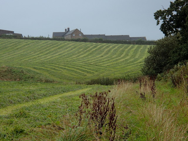
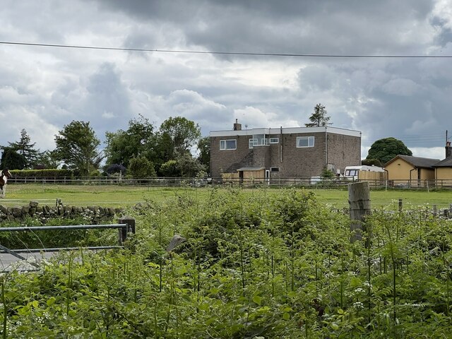
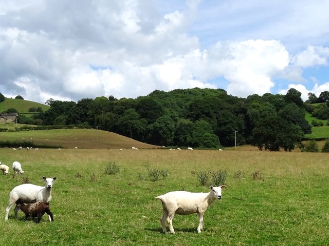
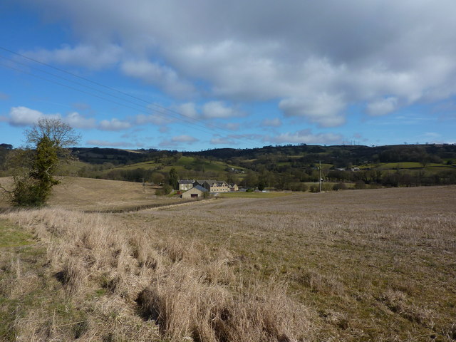
Ashleyhay is a predominantly rural area, known for its picturesque landscapes and charming countryside. The parish is characterized by rolling hills, meadows, and woodland, offering scenic views and ample opportunities for outdoor activities such as hiking and cycling.
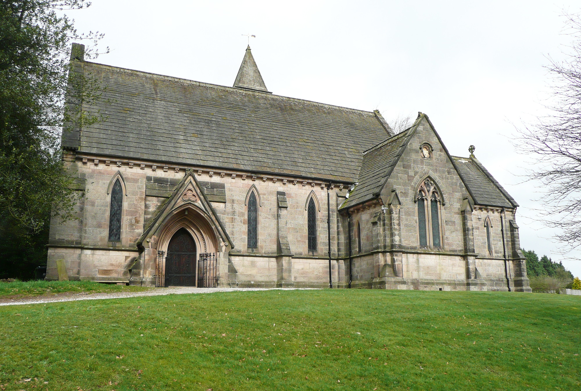
The village itself is small and has a population of around 200 residents. It features a mix of traditional stone-built cottages and more modern houses. The parish is served by a local church, Ashleyhay St John the Baptist, which dates back to the 12th century and is a Grade II listed building.
Although Ashleyhay is a quiet and peaceful area, it is conveniently located close to larger towns and cities. Belper, a market town just a short distance away, offers a range of amenities including shops, restaurants, and schools. The city of Derby is also easily accessible and provides further facilities and services.
Overall, Ashleyhay is a charming rural parish that offers a tranquil escape from the hustle and bustle of city life. With its stunning countryside and close proximity to amenities, it is an attractive place to live for those seeking a peaceful and scenic setting.
If you have any feedback on the listing, please let us know in the comments section below.
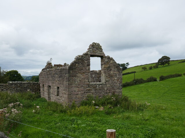
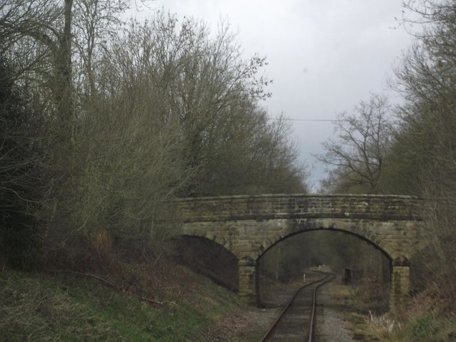
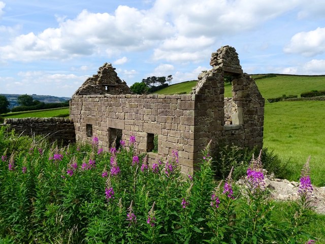
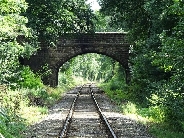
Ashleyhay Images
Images are sourced within 2km of 53.061107/-1.551149 or Grid Reference SK3051. Thanks to Geograph Open Source API. All images are credited.


Ashleyhay is located at Grid Ref: SK3051 (Lat: 53.061107, Lng: -1.551149)
Administrative County: Derbyshire
District: Amber Valley
Police Authority: Derbyshire
What 3 Words
///each.compliant.every. Near Wirksworth, Derbyshire
Nearby Locations
Related Wikis

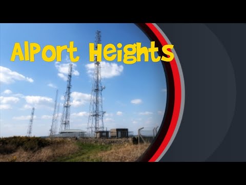
Alport Height
Alport Height is a hill near Wirksworth in Derbyshire. It is a popular picnic site, since it has extensive views to the South, and is the first hill over...

Ashleyhay
Ashleyhay (Old English Enclosure at the ash-tree wood or clearing ) is a village and civil parish in the Amber Valley district of Derbyshire, England,...
Alderwasley Hall Sixth Form Centre
Alderwasley Hall Sixth Form is an independent special needs Sixth Form Centre located one mile south of Wirksworth in Derbyshire it is part of Alderwasley...

Duffield Frith
Duffield Frith was, in medieval times, an area of Derbyshire in England, part of that bestowed upon Henry de Ferrers (or Ferrars) by King William, controlled...
Alderwasley
Alderwasley ( AL-ərz-LEE) is a village and civil parish in the Amber Valley district of Derbyshire, England. The population of the civil parish as of the...

Breamfield
Breamfield is a hamlet in Derbyshire, England. It is located 1 mile south-east of Wirksworth.

Haarlem Mill
Haarlem Mill, on the River Ecclesbourne in Wirksworth, Derbyshire, was an early cotton mill. Built by Richard Arkwright, it was the first cotton mill in...

Shottle
Shottle is a village approximately 3 miles (4.8 km) south of the market town of Wirksworth in Derbyshire. The population of the civil parish (Shottle and...
Related Videos
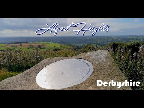
Alport Heights and windy wobbly lunch
Join me as I revisit a beautiful walk across the Derbyshire Dales and Amber Valley. Beautiful views and a windy lunch.. Created ...

ALDERWASLEY CIRCULAR HIKE || a small walk between christmas and the new year 🎄🍄
Dusting off the cobwebs with a short 4.km walk in Alderwasley, near Belper. Instagram: www.instagram.com/theregoesrose Music: ...

A Channel Welcoming Trip to Alport
Welcome to Couple'O'Nutters, Here's our debut video. We hope you like it, Subscribe if you want to see more.
Alport Heights | Derbyshire (Part 3)
Alport Heights is a hill cared by National Trust. The summit of the hill reaches over a 1000 ft. above sea water level providing ...
Nearby Amenities
Located within 500m of 53.061107,-1.551149Have you been to Ashleyhay?
Leave your review of Ashleyhay below (or comments, questions and feedback).