Alport Height

Hill, Mountain in Derbyshire Amber Valley

England

Alport Height

Freshly mown fields near Shottle
Freshly mown fields near Shottle Credit: Alan Heardman

Alport Height is a prominent hill located in Derbyshire, England. Situated in the Peak District National Park, it offers stunning views and is a popular destination for hikers and nature enthusiasts. Rising to an elevation of 517 meters (1,696 feet), Alport Height is often referred to as a "mini mountain" due to its impressive height and commanding presence in the surrounding landscape.

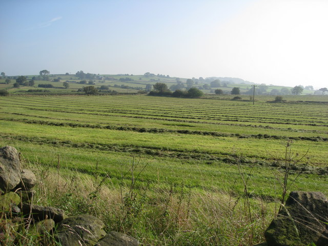
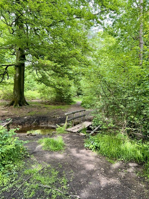
The hill is characterized by its rugged terrain, covered in heather and grasses, which adds to its natural beauty. It is also home to a variety of plant and animal species, including rare orchids and birds of prey such as kestrels and buzzards. The diverse ecosystem makes it an ideal spot for birdwatching and wildlife photography.

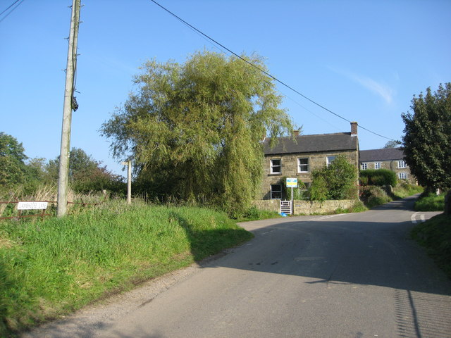
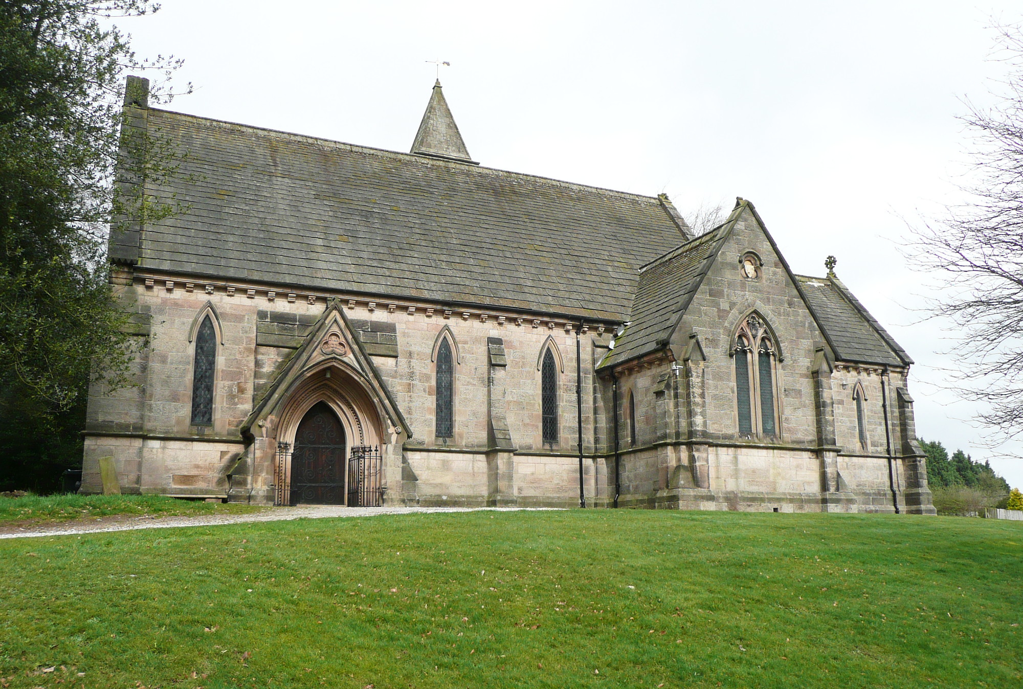
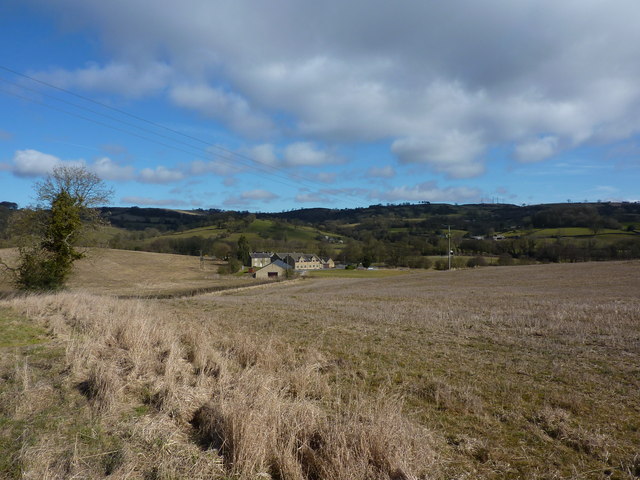
At the summit of Alport Height, visitors are rewarded with breathtaking panoramic views of the surrounding countryside. On a clear day, it is possible to see for miles, with the rolling hills and valleys of Derbyshire stretching out in every direction. The picturesque village of Alport lies to the east of the hill, with its charming stone cottages and historic church adding to the overall appeal of the area.

Access to Alport Height is relatively easy, with well-marked footpaths leading to the summit from nearby villages. The hill is a great location for a day hike or a longer trek, and it offers a peaceful and tranquil escape from the hustle and bustle of everyday life. Whether you are a seasoned hillwalker or simply looking to enjoy the beauty of the Peak District, Alport Height is definitely worth a visit.

If you have any feedback on the listing, please let us know in the comments section below.

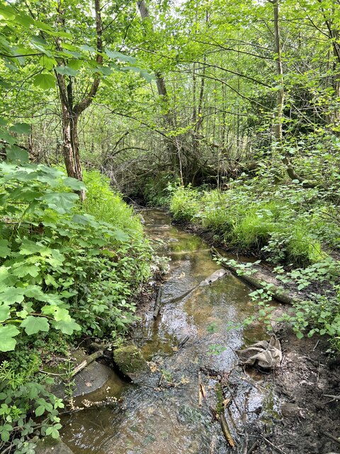
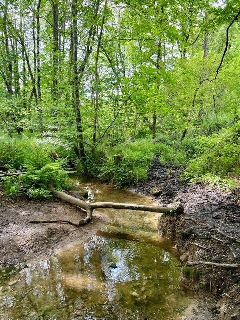
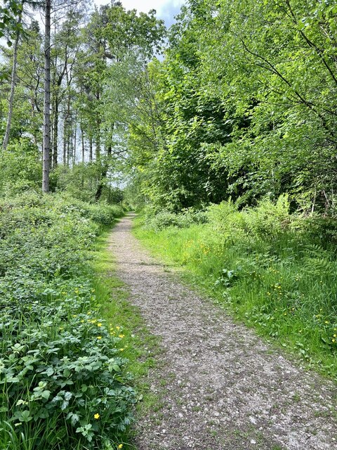
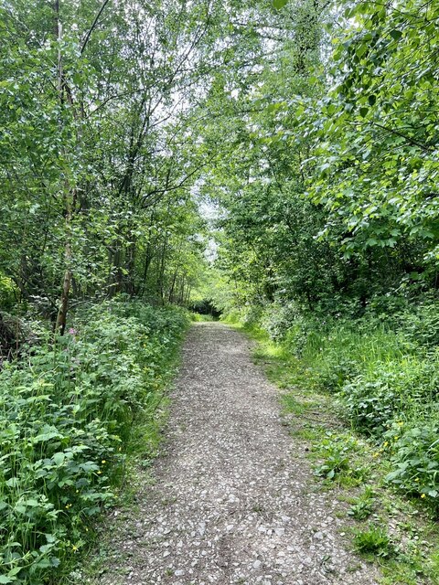
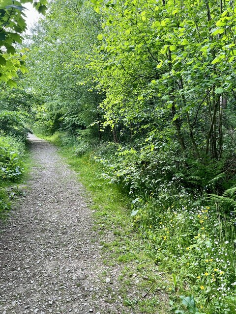
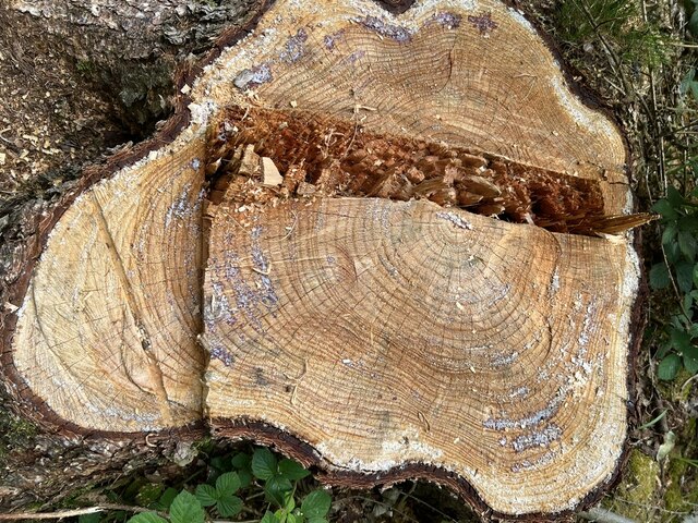
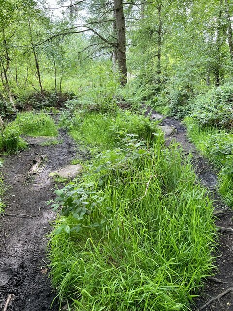
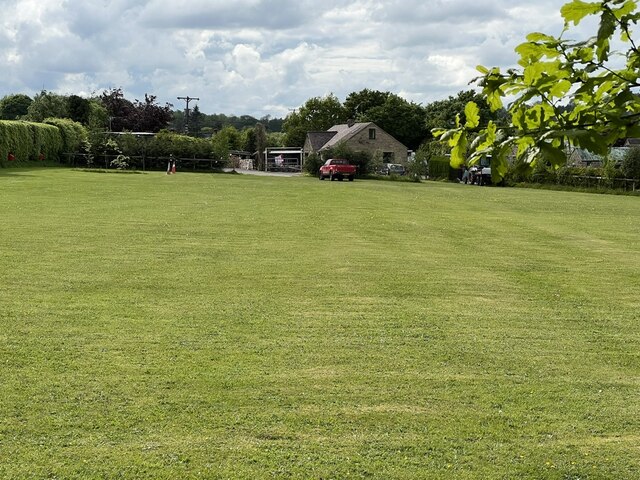
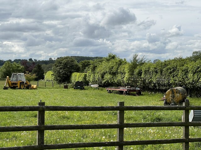
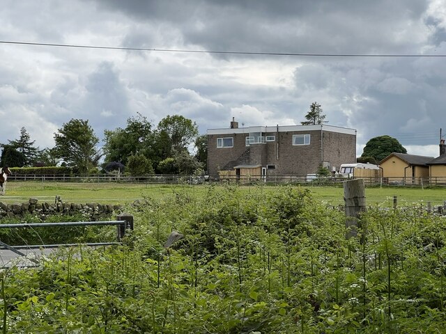
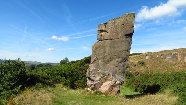
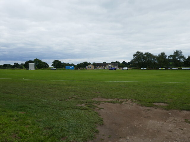
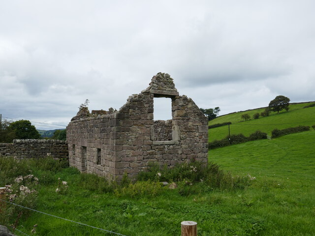
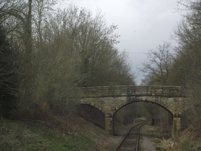
Alport Height Images

Images are sourced within 2km of 53.060627/-1.5454552 or Grid Reference SK3051. Thanks to Geograph Open Source API. All images are credited.

Freshly mown fields near Shottle
Shottle - Lambhouse Lane
Woodland Footpath A small footbridge over the stream in Peat Pits Wood.
Woodland Footpath
A small footbridge over the stream in Peat Pits Wood.
Coloured stones There appear to be green algae on some of the stones in the stream.
Coloured stones
There appear to be green algae on some of the stones in the stream.
Downstream Looking downstream on Peat Pits Brook.
Downstream
Looking downstream on Peat Pits Brook.
Upstream Looking upstream on Peat Pits Brook.
Upstream
Looking upstream on Peat Pits Brook.
Peat Pits Woodland Looking Northwest on the track in Peat Pits Wood.
Peat Pits Woodland
Looking Northwest on the track in Peat Pits Wood.
Peat Pits Woodland 2 Looking southeast on the woodland path.
Peat Pits Woodland 2
Looking southeast on the woodland path.
Peat Pits Woodland 3 Going deeper into Peat Pits Woodland in an eastern direction.
Peat Pits Woodland 3
Going deeper into Peat Pits Woodland in an eastern direction.
Tree stump A recently felled Larch tree stump.
Tree stump
A recently felled Larch tree stump.
Wet Footpath A very damp section of footpath, with people trying to find the driest way through.
Wet Footpath
A very damp section of footpath, with people trying to find the driest way through.
Bear Pit Campsite A nice looking campsite, but as its name suggests, rather bare.
Bear Pit Campsite
A nice looking campsite, but as its name suggests, rather bare.
Farm Implements An array of older farming implements.
Farm Implements
An array of older farming implements.
Palerow An unusual building out in the countryside, but I can remember it as a car garage and fuel station.
Palerow
An unusual building out in the countryside, but I can remember it as a car garage and fuel station.
Alport Height rock tower
Belper Amateurs Cricket Club
Abandoned cottage near Alport Height
Derby Road crosses the Ecclesbourne Valley Railway
Show me another place!

Alport Height is located at Grid Ref: SK3051 (Lat: 53.060627, Lng: -1.5454552)

Administrative County: Derbyshire

District: Amber Valley

Police Authority: Derbyshire

What 3 Words

///student.craftsman.deeds. Near Wirksworth, Derbyshire

Related Wikis

Nearby Amenities

Located within 500m of 53.060627,-1.5454552
Alport Height
Alt Name: Alport Heights
Fee: no
Operator: National Trust
Tourism: attraction
Wikidata: Q4735636
Lat/Long: 53.0608347/-1.5466504
Spout
Place: hamlet
Lat/Long: 53.0585471/-1.5478985
Barrier: block
Foot: permissive
Lat/Long: 53.0613405/-1.5485448
Barrier: stile
Material: stone
Source: survey
Stile: squeezer
Lat/Long: 53.0567814/-1.5450019
Barrier: stile
Material: stone
Source: survey;gps
Stile: squeezer
Lat/Long: 53.0604781/-1.5395366
Barrier: stile
Material: stone
Source: survey
Stile: squeezer
Lat/Long: 53.0614511/-1.5417316
Barrier: stile
Material: stone
Source: survey;gps
Stile: squeezer
Lat/Long: 53.0622675/-1.5445106
Communication Police: yes
Description: Derbyshire Constabulary Alport Height Airwave site
Man Made: tower
Tower Construction: lattice
Tower Type: communication
Lat/Long: 53.0610063/-1.5463926
Ele: 311.0000000
Lat/Long: 53.0609196/-1.5470576
Ele: 312.0000000
Lat/Long: 53.0611823/-1.5467936
Passing Place
Lat/Long: 53.0609797/-1.5488901
Barrier: stile
Material: stone
Source: survey;gps
Stile: squeezer
Lat/Long: 53.0644641/-1.5482734
Barrier: stile
Material: stone
Source: survey;gps
Stile: squeezer
Lat/Long: 53.057865/-1.5461949
Barrier: stile
Material: stone
Source: survey;bing
Stile: squeezer
Lat/Long: 53.0576968/-1.5442786
Barrier: entrance
Source: survey;gps
Lat/Long: 53.0574409/-1.5483291
Ashleyhay
Place: locality
Wikidata: Q2369376
Lat/Long: 53.0630364/-1.5471434
Alport Stone
Natural: stone
Lat/Long: 53.0605388/-1.5482502
Alport Height Topograph
Information: board
Tourism: information
Lat/Long: 53.0606245/-1.5464141
Defibrillator
Access: yes
Defibrillator Location: Shottle
Emergency: defibrillator
Indoor: no
Opening Hours: 24/7
Ref GB The Circuit: 8326027D-EC7D-4F71-9F25-F99E60CA284F
Lat/Long: 53.0586616/-1.5473342
Communication Police: yes
Man Made: tower
Tower Construction: lattice
Tower Type: communication
Lat/Long: 53.0608307/-1.5460412
Description: Western Power Distribution communications tower
Man Made: tower
Tower Construction: lattice
Tower Type: communication
Lat/Long: 53.060648/-1.5456443
Description: Western Power Distribution communications tower
Man Made: tower
Tower Construction: lattice
Tower Type: communication
Lat/Long: 53.0605543/-1.5453694
Description: Zycom communications
Man Made: tower
Tower Construction: lattice
Tower Type: communication
Lat/Long: 53.0614765/-1.5476056
Description: Zycom communications
Man Made: tower
Tower Construction: lattice
Tower Type: communication
Lat/Long: 53.0614066/-1.5471126
Description: Unused tower, appears vacant
Man Made: tower
Tower Construction: lattice
Tower Type: communication
Lat/Long: 53.0612383/-1.5468281
Description: Mobile Phone Mast
Man Made: tower
Lat/Long: 53.0605912/-1.5456162
Description: Mobile Phone Mast
Man Made: tower
Lat/Long: 53.0608329/-1.5460159
Man Made: survey_point
Ref: S1547
Lat/Long: 53.0606517/-1.5455411
Alport Height
Ele: 314
Natural: peak
Lat/Long: 53.0606224/-1.5455181
The data included in this document is from www.openstreetmap.org. The data is made available under ODbL.

Have you been to Alport Height?

Leave your review of Alport Height below (or comments, questions and feedback).