Spout Green

Settlement in Cheshire

England

Spout Green

Hollingworth, The Organ Public house on Market Street. Internally, deceptively large; back bar, with drinking areas left, front and right, pool, garden. No cask ale was available at my visit.
Hollingworth, The Organ Credit: Mike Faherty

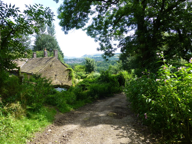
Spout Green is a small village located in the county of Cheshire, England. Situated approximately 5 miles east of the town of Macclesfield, it is nestled in a picturesque rural area surrounded by rolling hills and scenic landscapes.

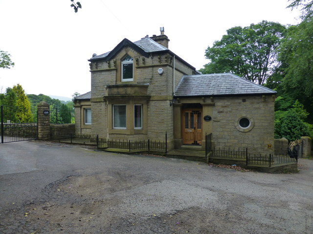
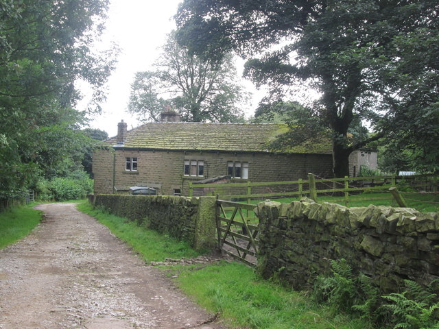
The village is known for its tranquil and idyllic setting, making it a popular destination for those seeking a peaceful retreat away from the hustle and bustle of city life. The area is dotted with charming cottages and historic buildings, showcasing the rich architectural heritage of Cheshire.

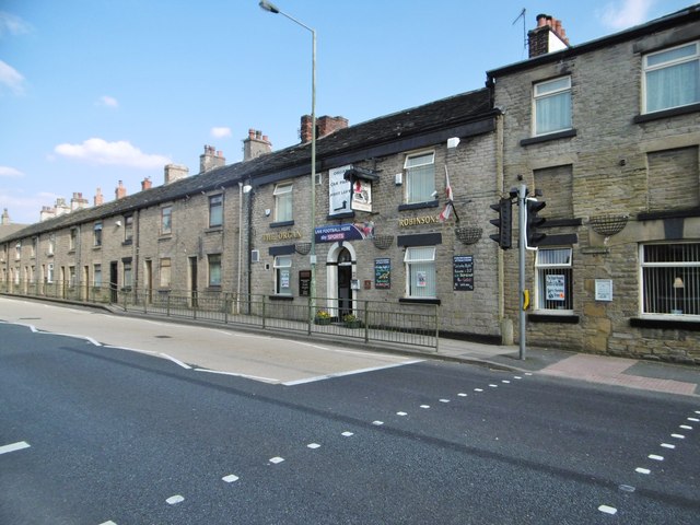
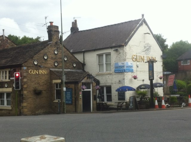
Despite its small size, Spout Green offers a range of amenities and facilities to its residents. The village has a local pub, providing a social hub for locals and visitors alike. Additionally, there are several quaint shops and a post office to cater to the everyday needs of the community.

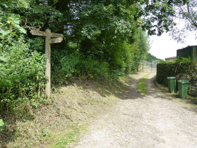
One of the main attractions in Spout Green is its close proximity to the stunning Peak District National Park. Nature enthusiasts and outdoor adventurers can easily access the park, which offers a plethora of hiking trails, cycling routes, and breathtaking viewpoints.

The community of Spout Green is known for its strong sense of community spirit. Residents often come together to organize events and activities, fostering a close-knit and friendly atmosphere. The village also has a primary school, ensuring that families with young children have access to quality education within their local area.

Overall, Spout Green offers a serene and picturesque setting, making it an appealing destination for those seeking a peaceful countryside retreat with easy access to the natural beauty of the surrounding area.

If you have any feedback on the listing, please let us know in the comments section below.
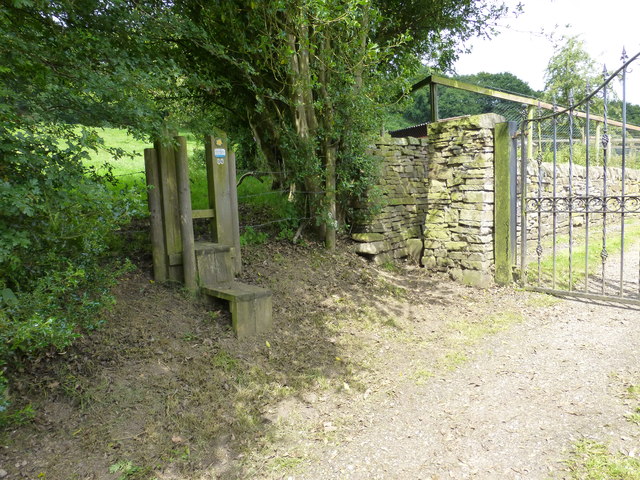
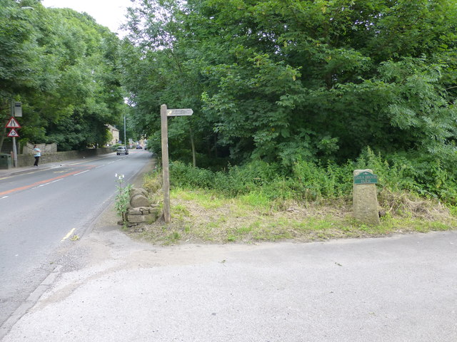
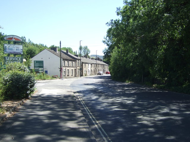
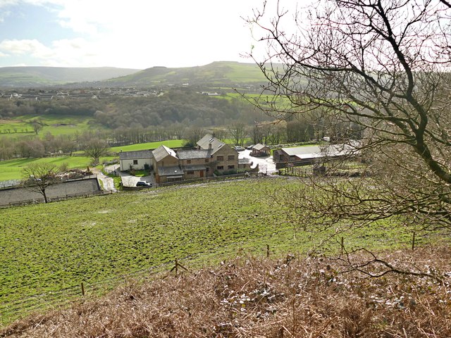
Spout Green Images

Images are sourced within 2km of 53.463444/-2.0144209 or Grid Reference SJ9996. Thanks to Geograph Open Source API. All images are credited.

Hollingworth, The Organ Public house on Market Street. Internally, deceptively large; back bar, with drinking areas left, front and right, pool, garden. No cask ale was available at my visit.
Hollingworth, The Organ
Public house on Market Street. Internally, deceptively large; back bar, with drinking areas left, front and right, pool, garden. No cask ale was available at my visit.
Hall Farm The entrance to Hall Farm.
Hall Farm
The entrance to Hall Farm.
Holly Grove Lodge at Hollingworth
Hidden signpost near Pear Tree Farm The marker for the Etherow Goyt Valley Trail is on the left leading up stone steps. a large fingerpost is out of view marked Valley Way. The area is also marked on the map as The Hague, the manor house of this name is half a mile away.
Hidden signpost near Pear Tree Farm
The marker for the Etherow Goyt Valley Trail is on the left leading up stone steps. a large fingerpost is out of view marked Valley Way. The area is also marked on the map as The Hague, the manor house of this name is half a mile away.
Fingerpost at The Hague The way straight on towards the gate leads onto the path towards Woolley Bridge.
Fingerpost at The Hague
The way straight on towards the gate leads onto the path towards Woolley Bridge.
Parting of the ways at Pear Tree Farm The stole on the left leads onto the path for Mottram .The hidden unmarked bridleway for Woolley Bridge is beside the stone pillar next to the gate for Pear Tree Farm.
Parting of the ways at Pear Tree Farm
The stole on the left leads onto the path for Mottram .The hidden unmarked bridleway for Woolley Bridge is beside the stone pillar next to the gate for Pear Tree Farm.
Fingerpost for Mottram and The Hague at Woolley Bridge
Approaching Hollingwoorth Hall Farm
A57 through Hollingworth
Hall Farm
Hall Farm
The Woolley Bridge Working Men's Club
Entering Glossop Looking south west on Woolley Bridge Road.
Entering Glossop
Looking south west on Woolley Bridge Road.
Former Riverside Inn public house, Woolley Bridge Has been derelict since at least 2012 <a href="https://www.geograph.org.uk/photo/3216472">SK0095 : Woolley Bridge</a>
Former Riverside Inn public house, Woolley Bridge
Has been derelict since at least 2012 SK0095 : Woolley Bridge
Shops on Woolley Bridge Road
A57 towards Glossop Looking south east.
A57 towards Glossop
Looking south east.
Old Direction Sign - Signpost by the A57, Hollingworth, Mossley Parish Lantern finial - 3 arms; by the A57, in parish of Mossley (Tameside District), Hollingworth, junction of Mottram Moor and Woolley Lane, beside war memorial.

To be surveyed

Milestone Society National ID: CH_SK0096.
Old Direction Sign - Signpost by the A57, Hollingworth, Mossley Parish
Lantern finial - 3 arms; by the A57, in parish of Mossley (Tameside District), Hollingworth, junction of Mottram Moor and Woolley Lane, beside war memorial. To be surveyed Milestone Society National ID: CH_SK0096.
Looking over the Etherow Valley On a public footpath from Mottram
Looking over the Etherow Valley
On a public footpath from Mottram
Show me another place!

Spout Green is located at Grid Ref: SJ9996 (Lat: 53.463444, Lng: -2.0144209)

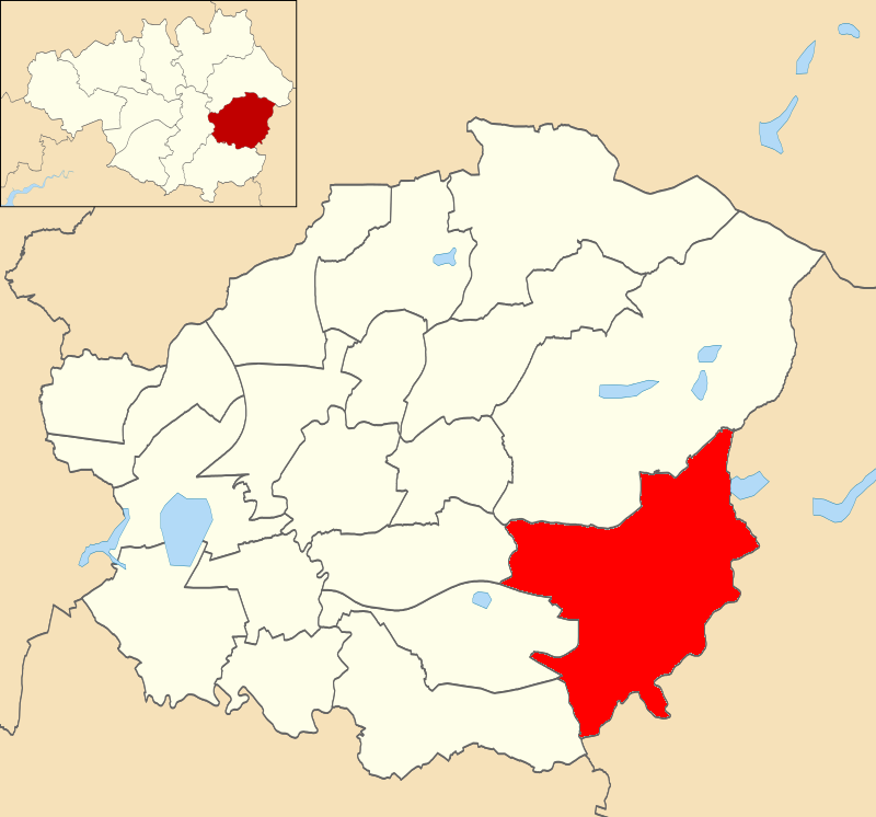
Unitary Authority: Tameside

Police Authority: Greater Manchester

What 3 Words

///flask.lend.reseller. Near Longdendale, Manchester

Nearby Locations

Spout Green Longdendale

Related Wikis

Mottram Old Hall, Tameside

Mottram Old Hall is a Grade-II-listed two-storey country house standing in a 6-hectare (15-acre) triangular park between Coach Lane and Old Hall Lane...

Mottram in Longdendale (ancient parish)

Mottram in Longdendale was one of the eight ancient parishes of the Macclesfield Hundred of Cheshire, England. Centred on St Michael and All Angels Church...

Longdendale (ward)

Longdendale is an electoral ward of Tameside, England. It is represented in Westminster by Jonathan Reynolds Labour Co-operative MP for Stalybridge and...

Longendale Urban District

Longendale Urban District (also known as Longdendale Urban District) was, from 1936 to 1974, a local government district in the administrative county of...

Mottram in Longdendale

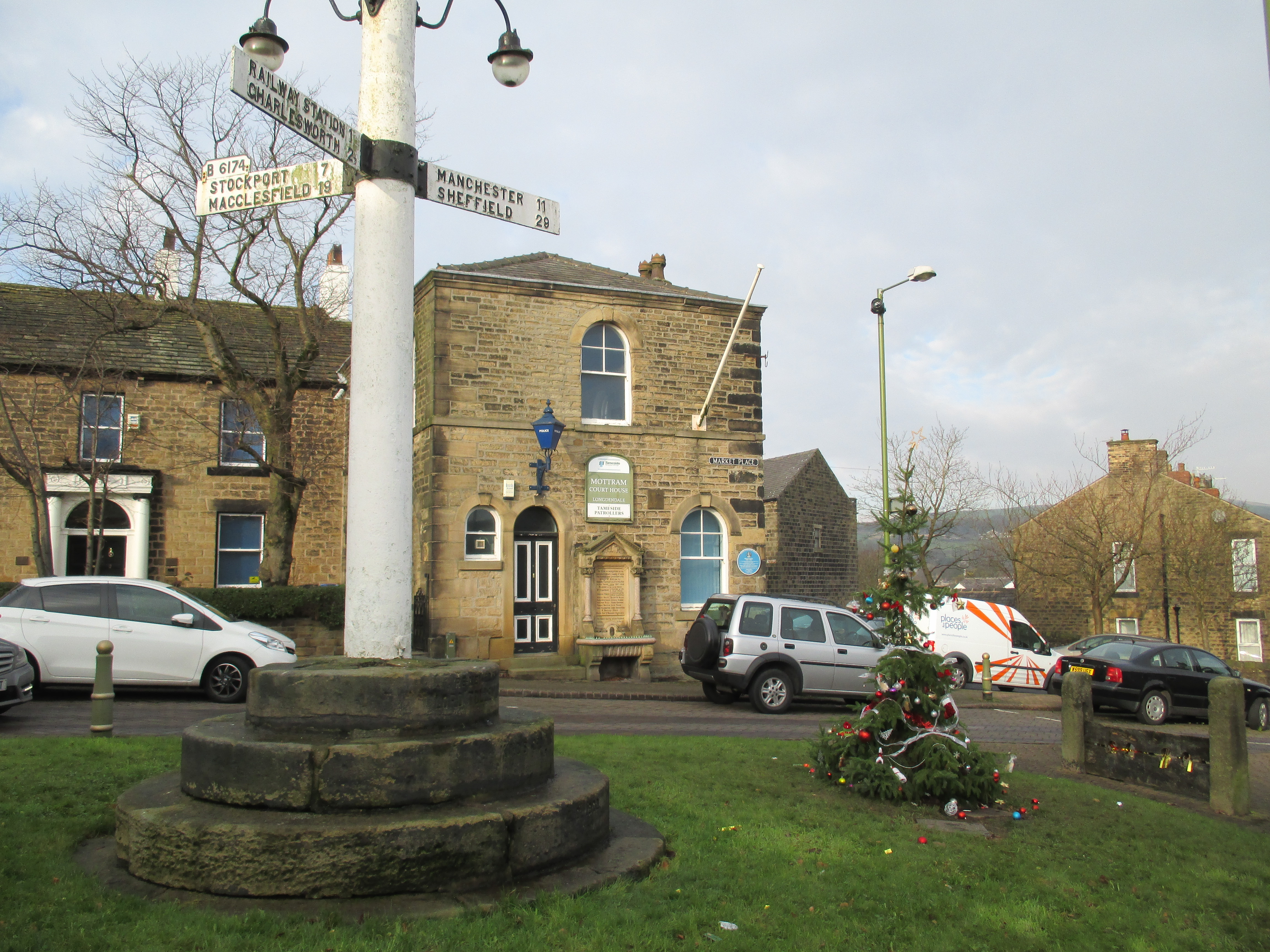
Mottram in Longdendale is a village in Tameside, Greater Manchester, England. At the 2011 census, the population for the ward of Longdendale, which includes...

Longdendale Bypass

The Longdendale Bypass (also known as the A57/A628 Mottram-in-Longdendale, Hollingworth & Tintwistle Bypass) is a long-planned road scheme in England by...

Longdendale High School

Longdendale High School (formerly Longdendale Community Language College) is a coeducational secondary school located in Hollingworth, Greater Manchester...

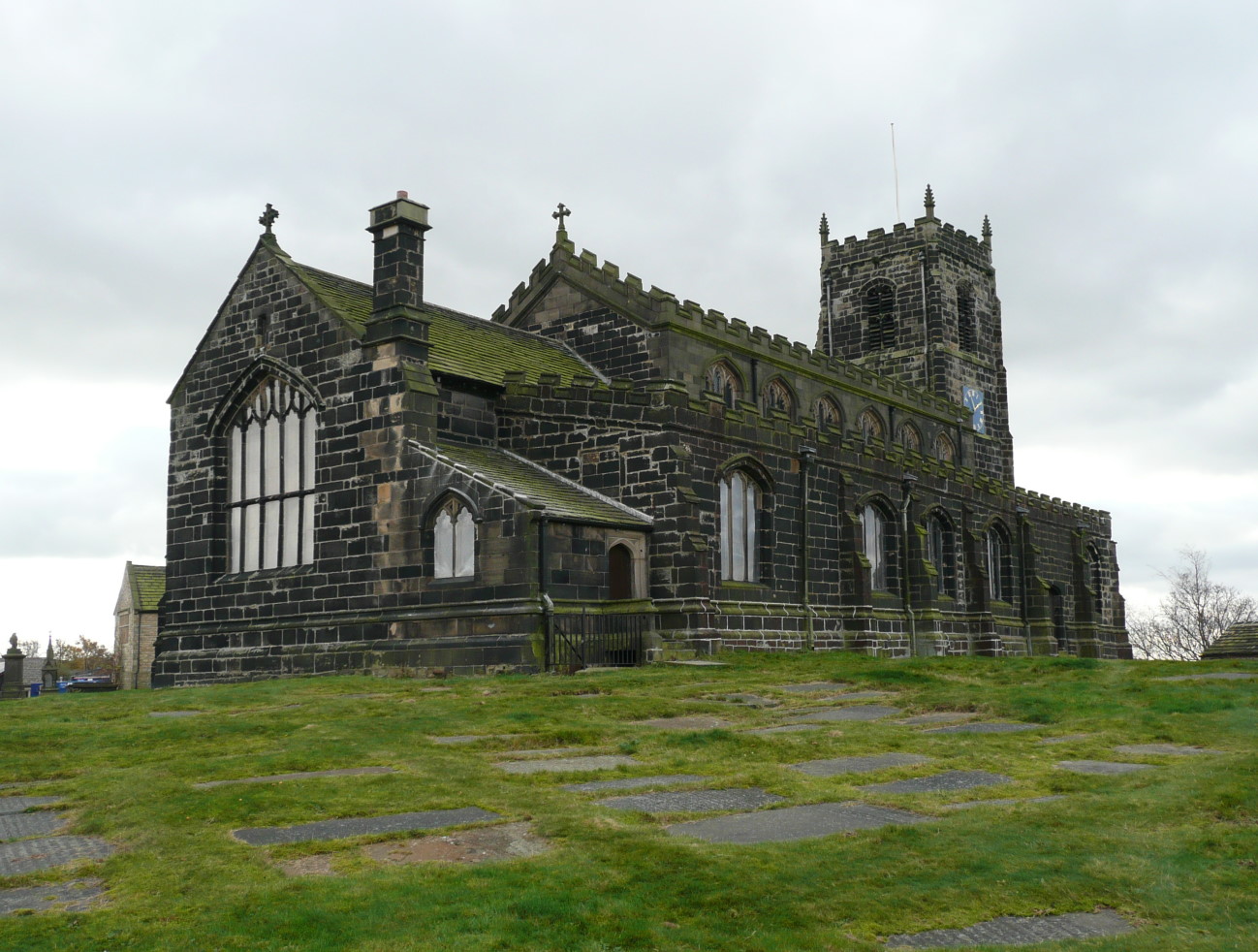
St Michael and All Angels Church, Mottram

St Michael and All Angels Church stands on Warhill overlooking the village of Mottram in Longdendale, Greater Manchester, England. The church is recorded...

Nearby Amenities

Located within 500m of 53.463444,-2.0144209
Mini Roundabout
Direction: clockwise
Lat/Long: 53.4601386/-2.0135359
Barrier: stile
Lat/Long: 53.4664878/-2.0125002
Barrier: stile
Lat/Long: 53.4615564/-2.0204098
Barrier: stile
Lat/Long: 53.4615872/-2.0204912
Barrier: stile
Lat/Long: 53.4616445/-2.0207354
Barrier: stile
Lat/Long: 53.4649146/-2.0186875
Barrier: stile
Lat/Long: 53.4648204/-2.0172278
Barrier: kissing_gate
Lat/Long: 53.4644176/-2.0120667
Barrier: stile
Lat/Long: 53.4661548/-2.0152258
Barrier: stile
Material: wood
Step Count: 4
Stile: stepover
Lat/Long: 53.4666509/-2.0104292
Bus Stop
Roe Cross Road/Old Road
Bus: yes
Naptan AtcoCode: 1800EH13681
Naptan Bearing: NW
Naptan CommonName: Roe Cross Road/Old Road
Naptan Indicator: House 57
Naptan Landmark: HOUSE 57
Naptan NaptanCode: mantmpjd
Naptan Notes: INDICATOR AMENDED
Naptan PlusbusZoneRef: MNCRPIC
Naptan ShortCommonName: Old Road
Naptan Street: Roe Cross Road
Naptan Verified: no
Network: TfGM
Public Transport: platform
Source: naptan_import
Lat/Long: 53.4604532/-2.0143536
Bus Stop
Roe Cross Road/Roe Cross Hotel
Bus: yes
Naptan AtcoCode: 1800EH37351
Naptan Bearing: SE
Naptan CommonName: Roe Cross Road/Roe Cross Hotel
Naptan Indicator: Roe Cross Pub
Naptan Landmark: PUBLIC HOUSE
Naptan NaptanCode: mandgajm
Naptan PlusbusZoneRef: MNCRPIC
Naptan ShortCommonName: Roe Cross Hotel
Naptan Street: ROE CROSS ROAD
Naptan Verified: no
Network: TfGM
Public Transport: platform
Source: naptan_import
Lat/Long: 53.4632751/-2.0183763
Bus Stop
Roe Cross Road/Roe Cross Hotel
Bus: yes
Naptan AtcoCode: 1800EH37361
Naptan Bearing: NW
Naptan CommonName: Roe Cross Road/Roe Cross Hotel
Naptan Indicator: Opp Roe Cross
Naptan Landmark: OPP ROE CROSS
Naptan NaptanCode: mandgajp
Naptan PlusbusZoneRef: MNCRPIC
Naptan ShortCommonName: Roe Cross Hotel
Naptan Street: ROE CROSS ROAD
Naptan Verified: no
Network: TfGM
Public Transport: platform
Source: naptan_import
Lat/Long: 53.4622955/-2.0171257
Bus Stop
Roe Cross Road/Old Road
Bus: yes
Naptan AtcoCode: 1800EH37371
Naptan Bearing: SE
Naptan CommonName: Roe Cross Road/Old Road
Naptan Indicator: Industrial Est
Naptan Landmark: INDUSTRIAL EST
Naptan NaptanCode: mandgajt
Naptan PlusbusZoneRef: MNCRPIC
Naptan ShortCommonName: Old Road
Naptan Street: ROE CROSS ROAD
Naptan Verified: no
Network: TfGM
Public Transport: platform
Source: naptan_import
Lat/Long: 53.461307/-2.0153781
Bus Stop
Stalybridge Road/Old Road
Bus: yes
Naptan AtcoCode: 1800EH37381
Naptan Bearing: N
Naptan CommonName: Stalybridge Road/Old Road
Naptan Indicator: Opp Old Rd
Naptan Landmark: HOUSE 39
Naptan NaptanCode: mandgajw
Naptan PlusbusZoneRef: MNCRPIC
Naptan ShortCommonName: Old Road
Naptan Street: Stalybridge Road
Naptan Verified: no
Network: TfGM
Public Transport: platform
Source: naptan_import
Lat/Long: 53.4600217/-2.0137339
Barrier: kissing_gate
Lat/Long: 53.4644788/-2.0113477
Crossing
Crossing Island: yes
Lat/Long: 53.4605829/-2.0144095
Crossing
Lat/Long: 53.4600425/-2.0132227
Post Box
Post Box Type: wall
Ref: SK14 146
Royal Cypher: EVIIR
Royal Cypher Wikidata: Q33102324
Lat/Long: 53.4602996/-2.0136054
Power: pole
Lat/Long: 53.4675685/-2.0118365
Power: pole
Lat/Long: 53.4665786/-2.011359
Power: pole
Lat/Long: 53.4659399/-2.0108226
Power: pole
Lat/Long: 53.4653874/-2.0103505
Power: pole
Lat/Long: 53.464811/-2.0098972
Power: pole
Lat/Long: 53.4644517/-2.0091784
Power: pole
Lat/Long: 53.4635559/-2.008127
Power: pole
Lat/Long: 53.4626218/-2.0076469
Power: pole
Lat/Long: 53.4619974/-2.0073169
Generator Method: photovoltaic
Generator Output Electricity: yes
Generator Source: solar
Generator Type: solar_photovoltaic_panel
Location: roof
Power: generator
Lat/Long: 53.4619258/-2.0138059
Generator Method: photovoltaic
Generator Output Electricity: yes
Generator Source: solar
Generator Type: solar_photovoltaic_panel
Location: roof
Power: generator
Lat/Long: 53.4599019/-2.010821
Generator Method: photovoltaic
Generator Output Electricity: yes
Generator Source: solar
Generator Type: solar_photovoltaic_panel
Location: roof
Power: generator
Lat/Long: 53.4600935/-2.0118536
Generator Method: photovoltaic
Generator Output Electricity: yes
Generator Source: solar
Generator Type: solar_photovoltaic_panel
Location: roof
Power: generator
Lat/Long: 53.4625272/-2.0140504
Generator Method: photovoltaic
Generator Output Electricity: yes
Generator Source: solar
Generator Type: solar_photovoltaic_panel
Location: roof
Power: generator
Lat/Long: 53.4621583/-2.0128997
Generator Method: photovoltaic
Generator Output Electricity: yes
Generator Source: solar
Generator Type: solar_photovoltaic_panel
Location: roof
Power: generator
Lat/Long: 53.4598092/-2.0119529
Parking
Access: yes
Capacity: 10
Capacity Disabled: 0
Fee: no
Parking: layby
Lat/Long: 53.4666914/-2.0169593
The data included in this document is from www.openstreetmap.org. The data is made available under ODbL.

Have you been to Spout Green?

Leave your review of Spout Green below (or comments, questions and feedback).