Paradise
Settlement in Hertfordshire Dacorum
England
Paradise
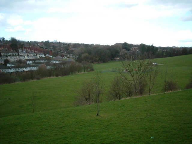
Paradise, Hertfordshire is a small village located in the East of England, approximately 30 miles north of London. Situated in the district of Welwyn Hatfield, Paradise is surrounded by picturesque countryside and offers a tranquil escape from the bustling city life.
With a population of around 1,000 residents, Paradise retains its rural charm and community spirit. The village is characterized by its quaint cottages, well-maintained gardens, and open green spaces. The local church, St. Mary's, stands as a prominent landmark and serves as a focal point for religious and social gatherings.
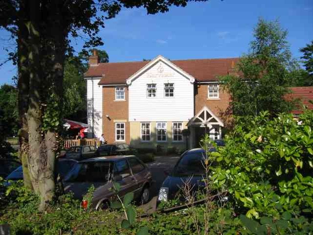
Although small in size, Paradise boasts a number of amenities for its residents and visitors. The village is home to a primary school, providing education for the local children. There is also a cozy pub, The Paradise Inn, where locals can gather for a pint or enjoy traditional pub food.
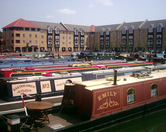
The surrounding countryside offers plenty of opportunities for outdoor activities. Paradise is conveniently located near several nature reserves and country parks, making it an ideal destination for hiking, cycling, and wildlife enthusiasts. Additionally, the nearby River Lea provides opportunities for fishing and boating.
Paradise is well-connected to neighboring towns and cities via a reliable transportation network. The village benefits from good road links, making it easily accessible by car. For those relying on public transport, regular bus services connect Paradise to nearby towns and railway stations, providing access to London and other major cities.
In summary, Paradise, Hertfordshire is a charming village that offers a peaceful lifestyle amidst beautiful countryside surroundings. It provides a close-knit community, amenities for residents, and easy access to outdoor activities, making it an attractive place to live or visit.
If you have any feedback on the listing, please let us know in the comments section below.
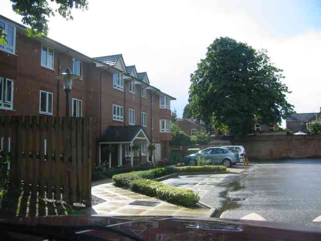
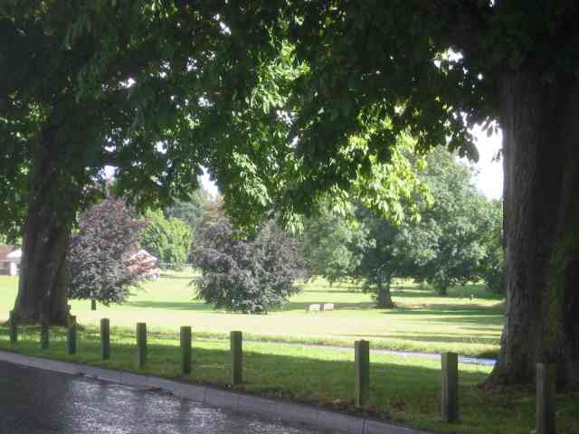
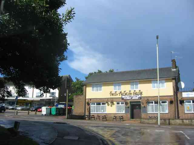
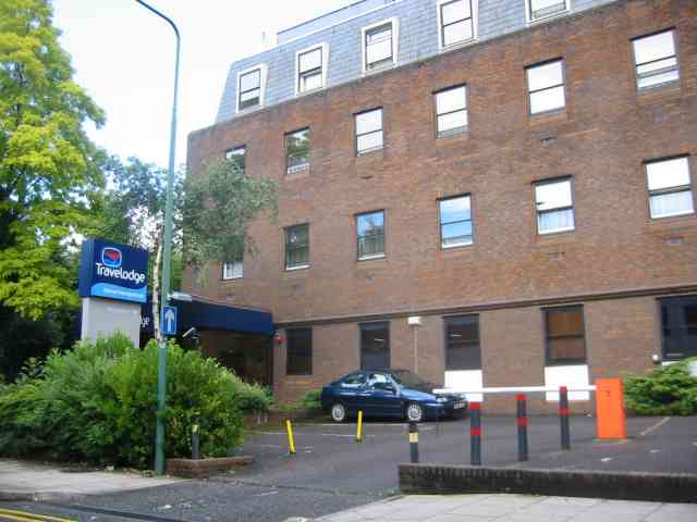
Paradise Images
Images are sourced within 2km of 51.747662/-0.47185131 or Grid Reference TL0506. Thanks to Geograph Open Source API. All images are credited.
Paradise is located at Grid Ref: TL0506 (Lat: 51.747662, Lng: -0.47185131)
Administrative County: Hertfordshire
District: Dacorum
Police Authority: Hertfordshire
What 3 Words
///comet.showed.soccer. Near Hemel Hempstead, Hertfordshire
Nearby Locations
Related Wikis

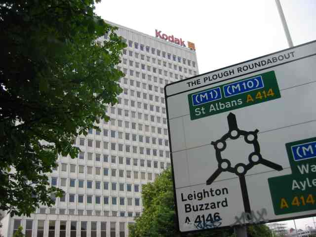
Magic Roundabout (Hemel Hempstead)
"The Magic Roundabout" in Hemel Hempstead, Hertfordshire, England, is the familiar name given to the melon Roundabout. The familiar name comes from the...
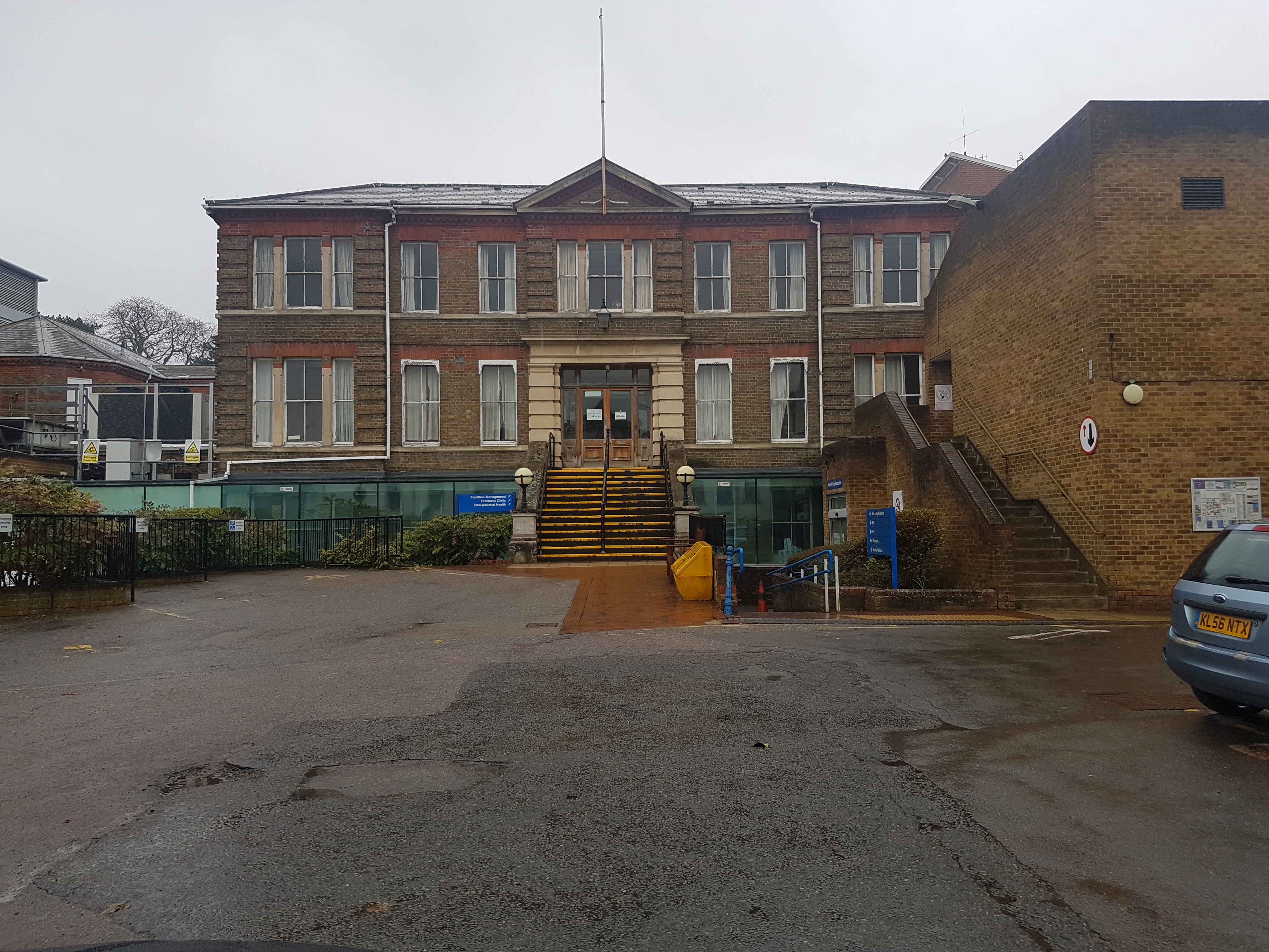
Hemel Hempstead Hospital
Hemel Hempstead Hospital is an acute District General Hospital in Hemel Hempstead, Hertfordshire operated by the West Hertfordshire Hospitals NHS Trust...
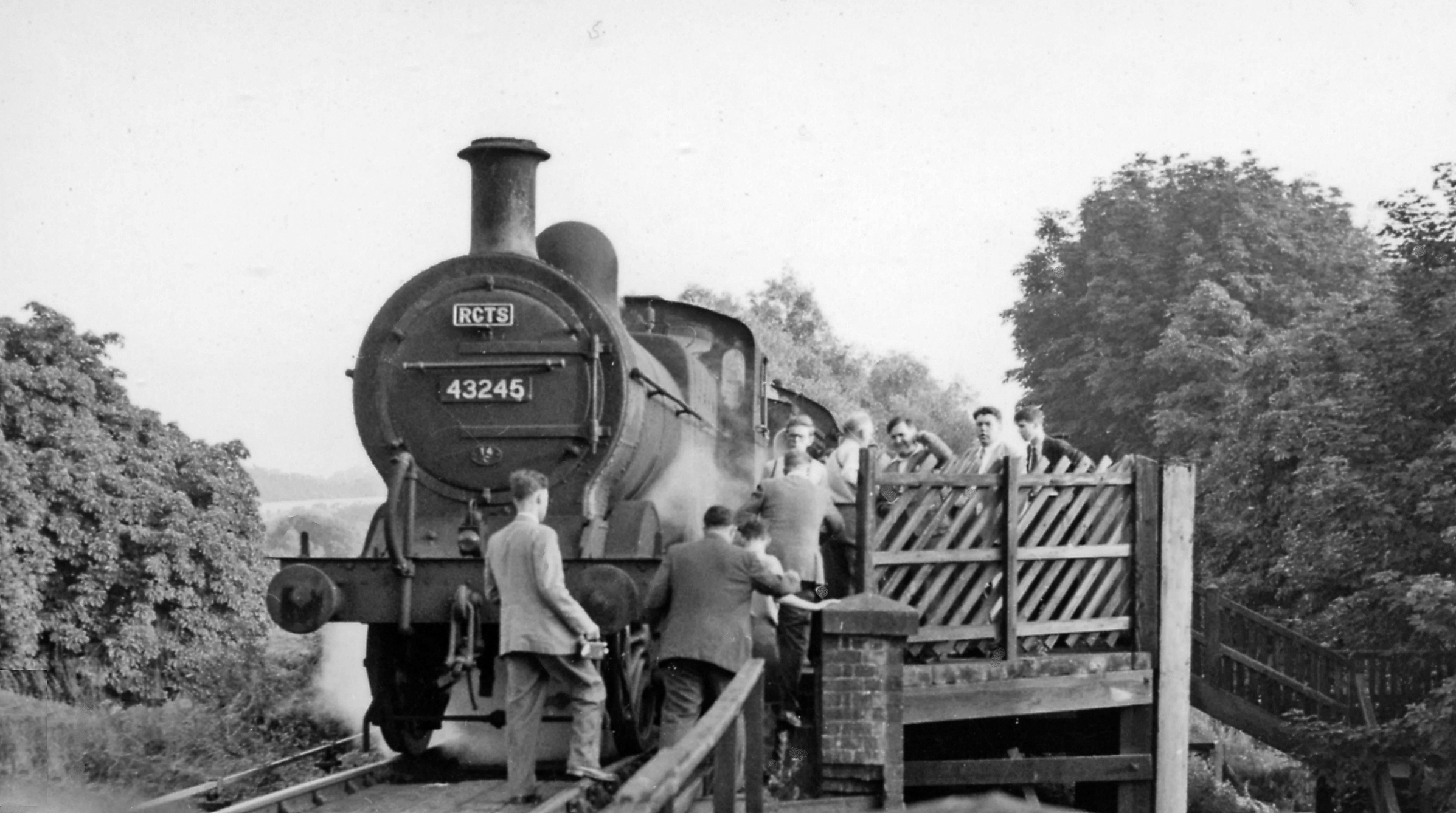
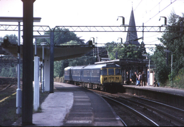
Heath Park Halt railway station
Heath Park Halt was a railway station in Hemel Hempstead, Hertfordshire in England, UK. It was the terminus for passenger services on the Nickey line,...
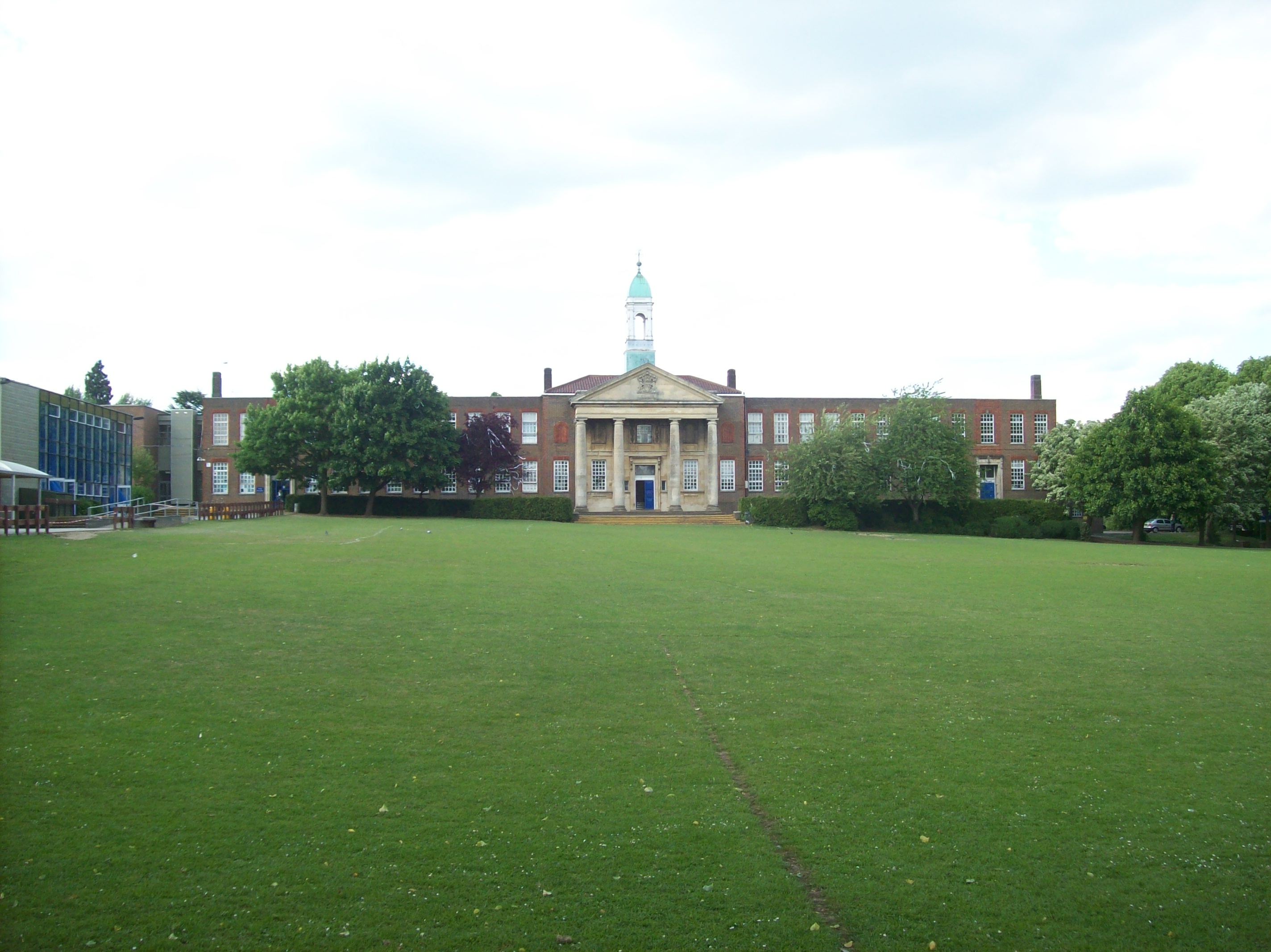
The Hemel Hempstead School
The Hemel Hempstead School is a coeducational secondary school and sixth form located in the town of Hemel Hempstead, Hertfordshire, England. == History... ==

Woodhall Farm
Woodhall Farm is a neighbourhood on the northern side of Hemel Hempstead in the county of Hertfordshire. It was built on the former Brocks Fireworks site...
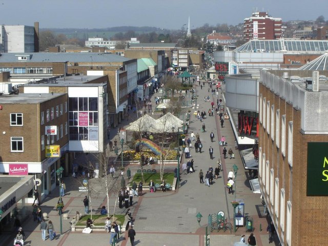
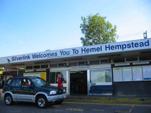
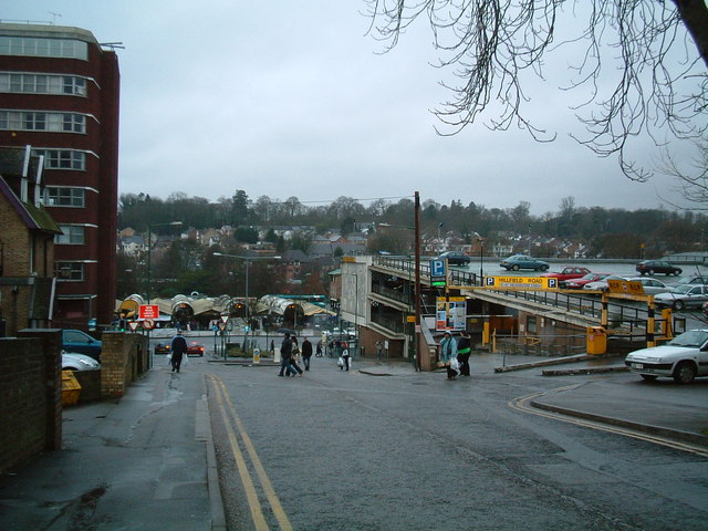
Hemel Hempstead
Hemel Hempstead () is a town in the Dacorum district in Hertfordshire, England. It is 24 miles (39 km) northwest of London, and is part of the Greater...

Grovehill
Grovehill is an area of Hemel Hempstead; it comprises two distinct developments. 'Precinct A' laid out and developed by the New Town Commission in 1967...

St John's Church, Boxmoor
The Church of St John the Evangelist is a Grade II listed church in Boxmoor, Hertfordshire, England. The church was consecrated in 1874 on land purchased...
Nearby Amenities
Located within 500m of 51.747662,-0.47185131Have you been to Paradise?
Leave your review of Paradise below (or comments, questions and feedback).